
Hewitt's Hill
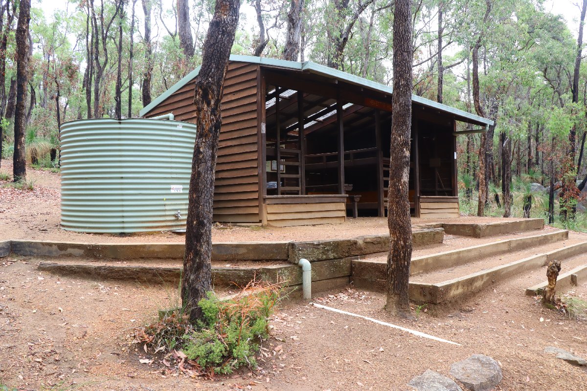
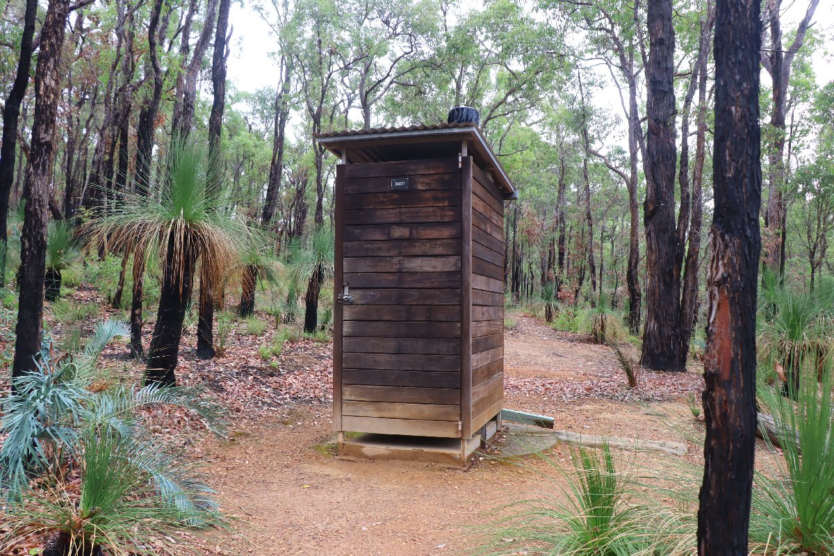
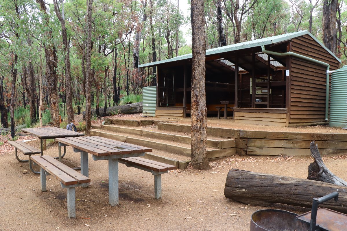
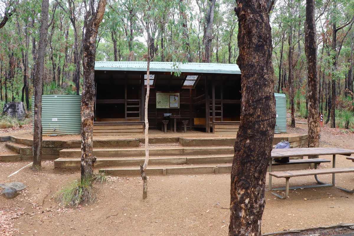
Hut #1 SOBO, Hut #49 NOBO. Configuration: Type 1B (Stretch). Distance from Northern Terminus: 11.1km. Distance to Ball Creek: 10.7km.
This hut was built in November 1996. As of late 2025, it is the last remaining hut in the Type 1B (Stretch) configuration.
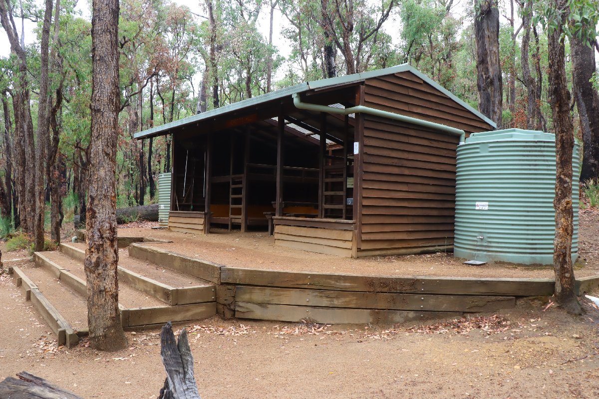
Hewitt's Hill
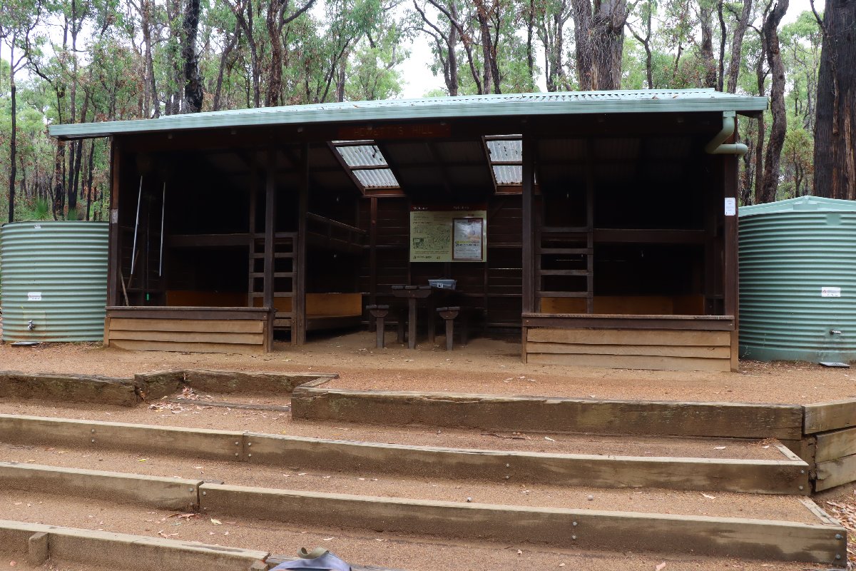
Hewitt's Hill
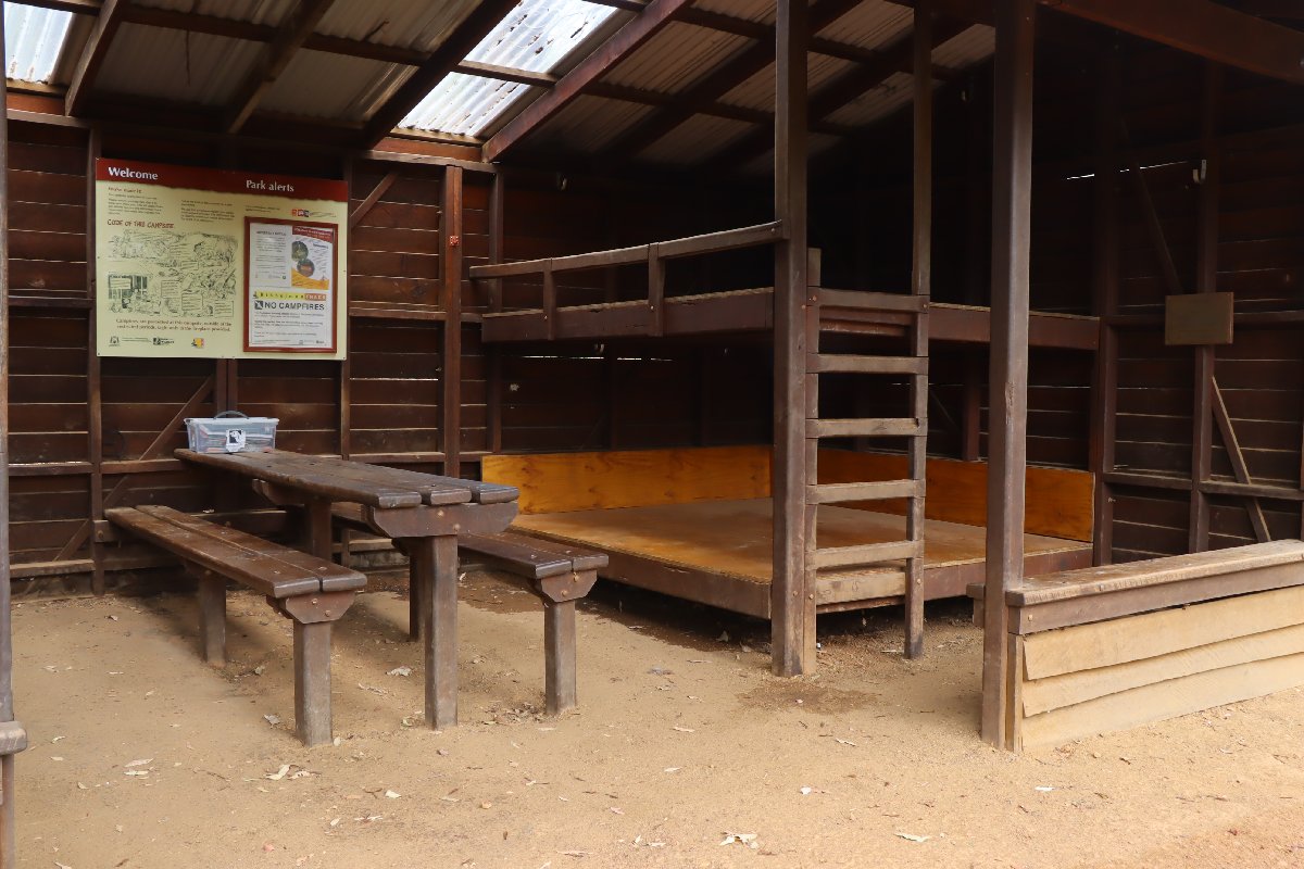
Hewitt's Hill
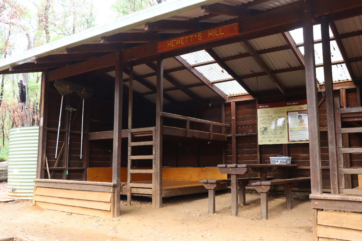
Hewitt's Hill
Hewitt's Hill
Hewitt's Hill
Hewitt's Hill
Hewitt's Hill
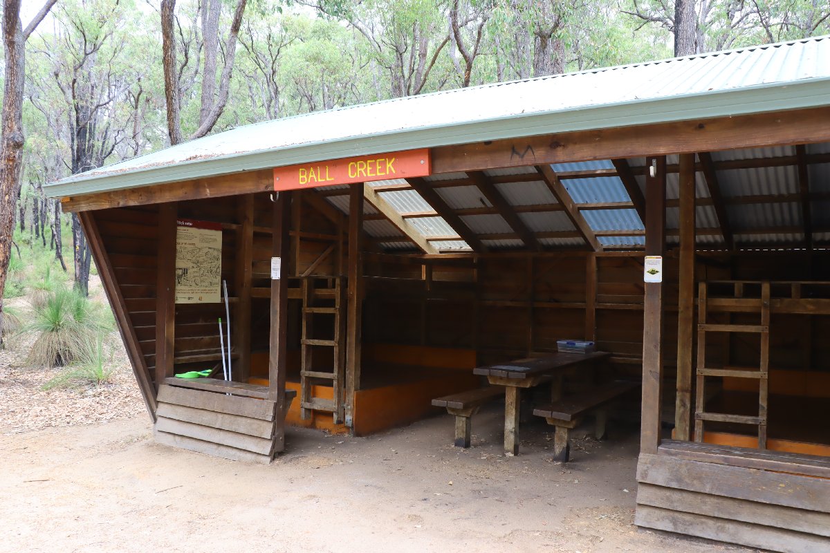
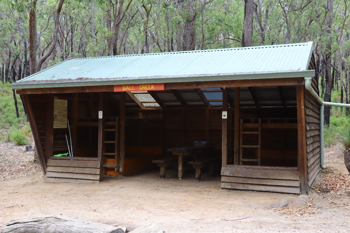
Ball Creek
Hut #2 SOBO, Hut #48 NOBO. Configuration: Type 1A (Standard). Distance from Hewitt's Hill: 10.7km. Distance to Helena: 8.7km.
This hut was built in November 1996. As of late 2025, it is the last remaining hut in the Type 1A (Standard) configuration.
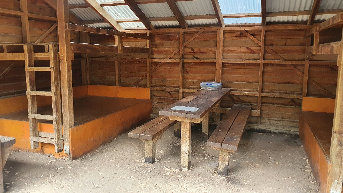
Ball Creek Hut
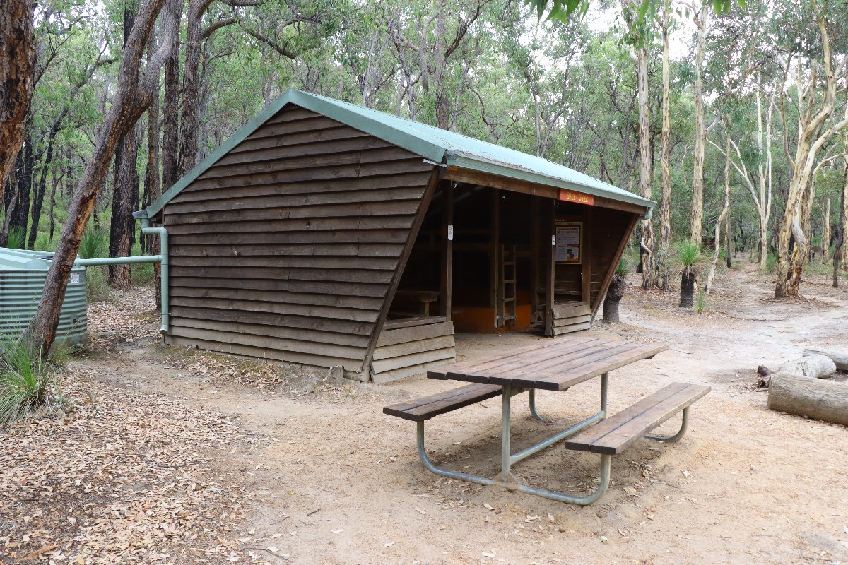
Ball Creek Hut
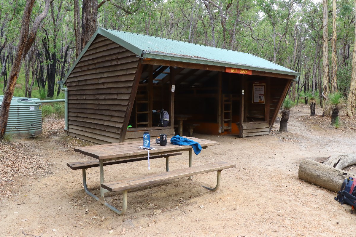
Ball Creek Hut
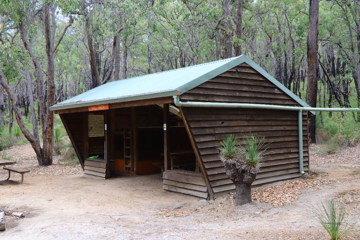
Ball Creek Hut
Ball Creek Hut
Ball Creek Hut
Helena
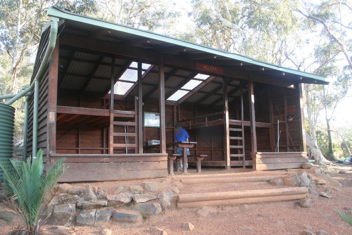
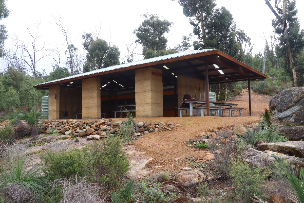
Hut #3 SOBO, Hut #47 NOBO. Configuration: Type 4 (Oversized modified rammed earth Deep South). Distance from Ball Creek: 8.7km. Distance to Waalegh: 9.5km.
This hut was originally built as a type 1B hut. The hut was destroyed in a bushfire in January 2018. It was rebuilt in 2019 using a unique design that is based on the Type 2 (Deep South) but is much larger. As the top bunk extends the whole width of the hut, it is technically a Type 4 hut and is constructed from rammed earth.
Helena Hut
Helena Hut
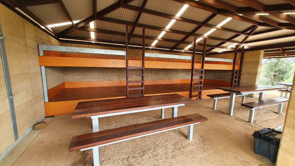
Helena Hut
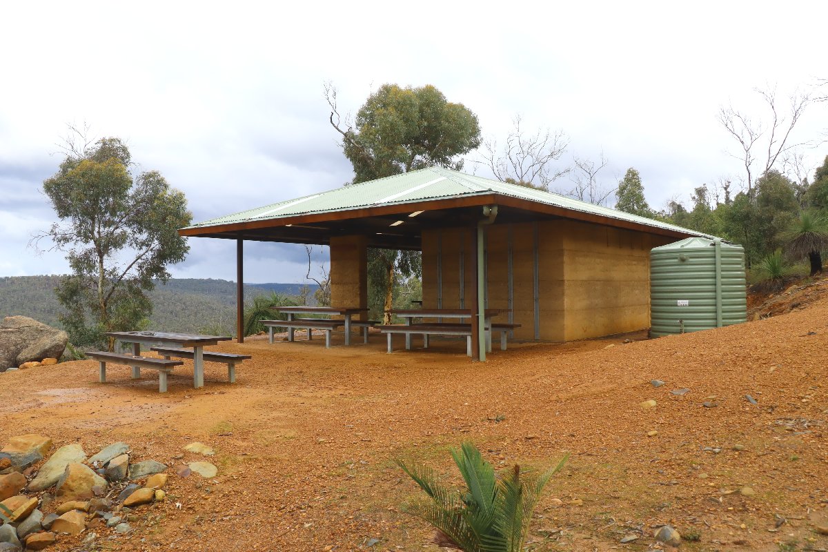
Helena Hut
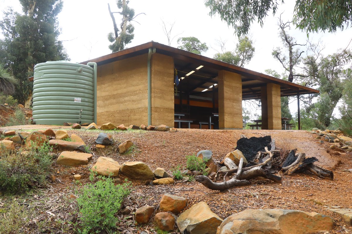
Helena Hut
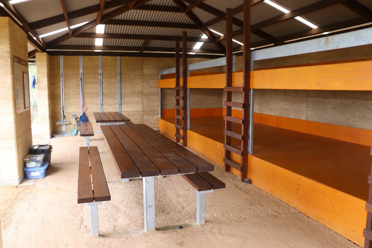
Helena Hut
Waalegh
Hut #4 SOBO, Hut #46 NOBO. Configuration: Type 4 (modified Deep South). Distance from Helena: 9.5km. Distance to Beraking: 8.6km.
This is the oldest hut on the track, being constructed in 1996. The hut was originally built as a Type 1A but was rebuilt into a Type 4 in some year. The name 'Waalegh' is pronounced 'Wollitch.'
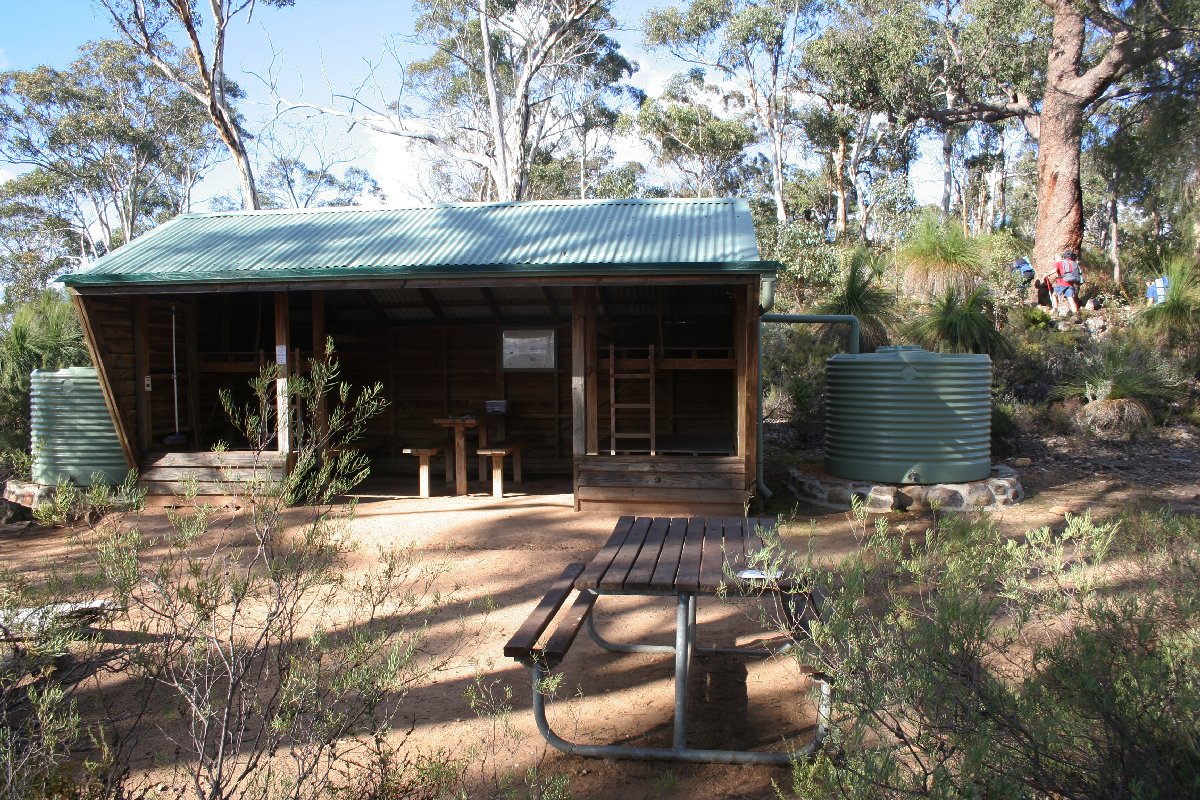
Waalegh Hut
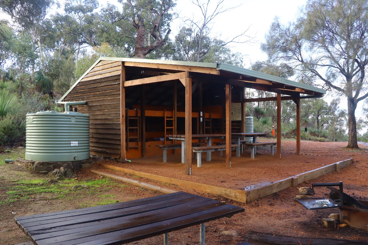
Waalegh Hut
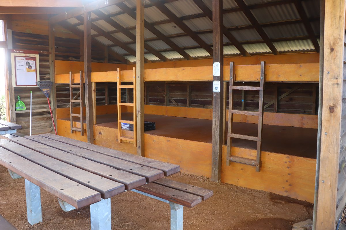
Waalegh Hut
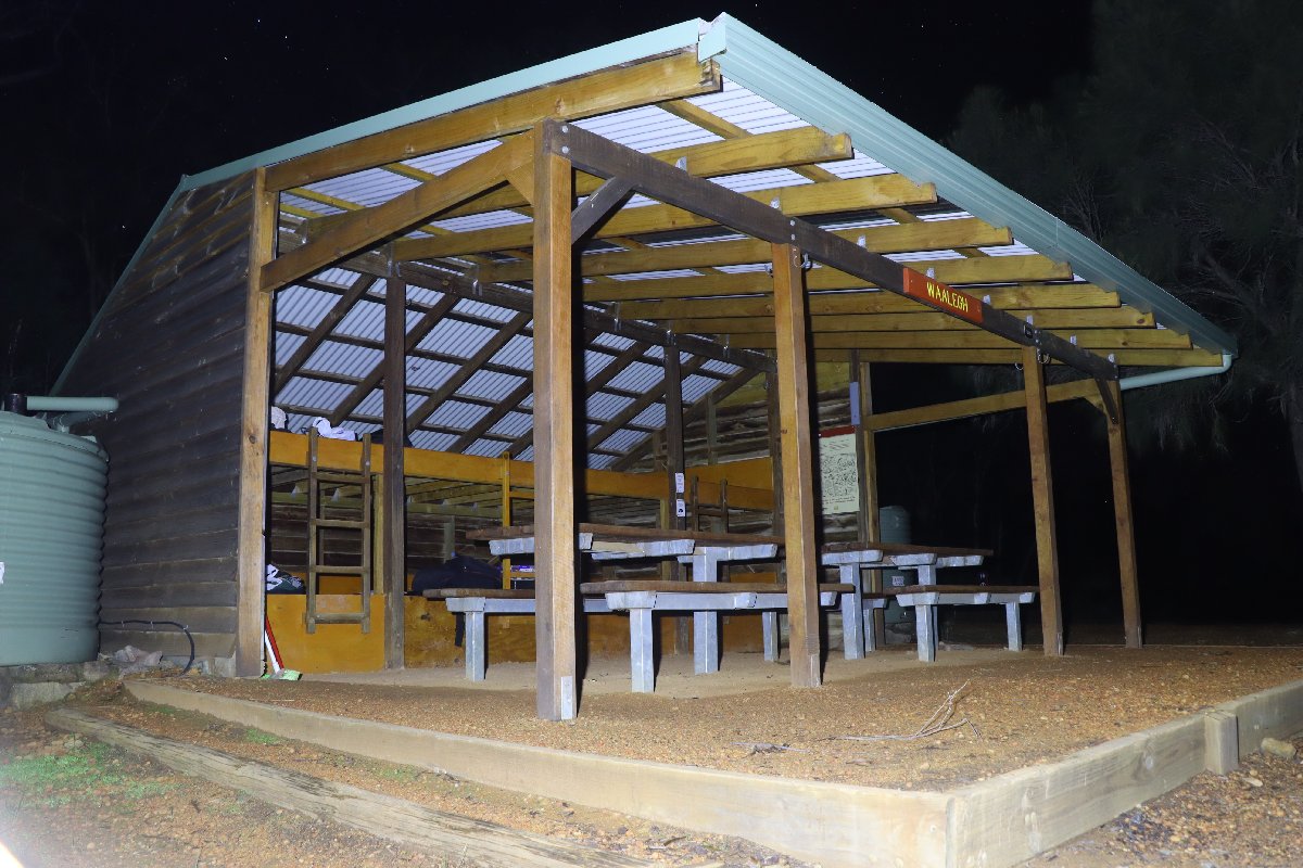
July 2023
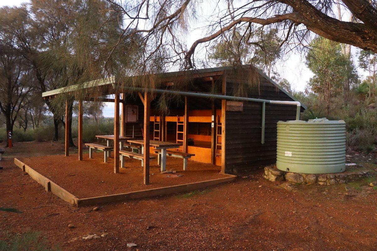
July 2023
Beraking
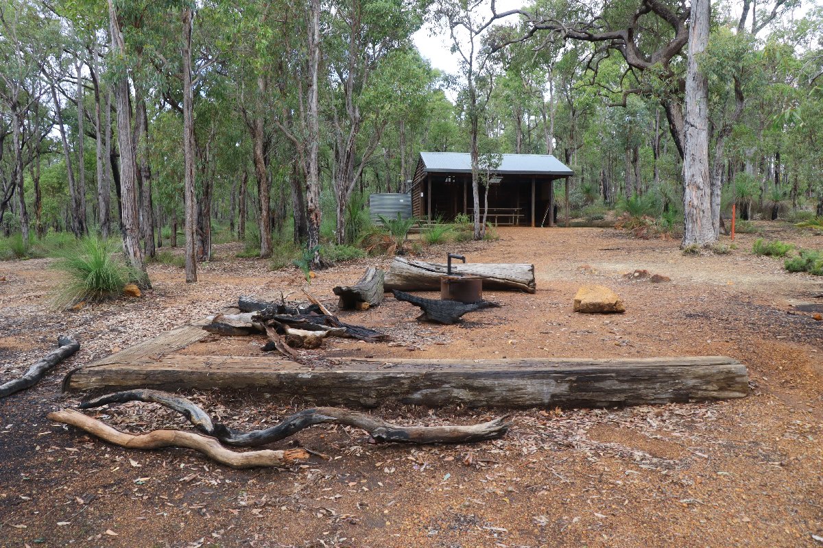
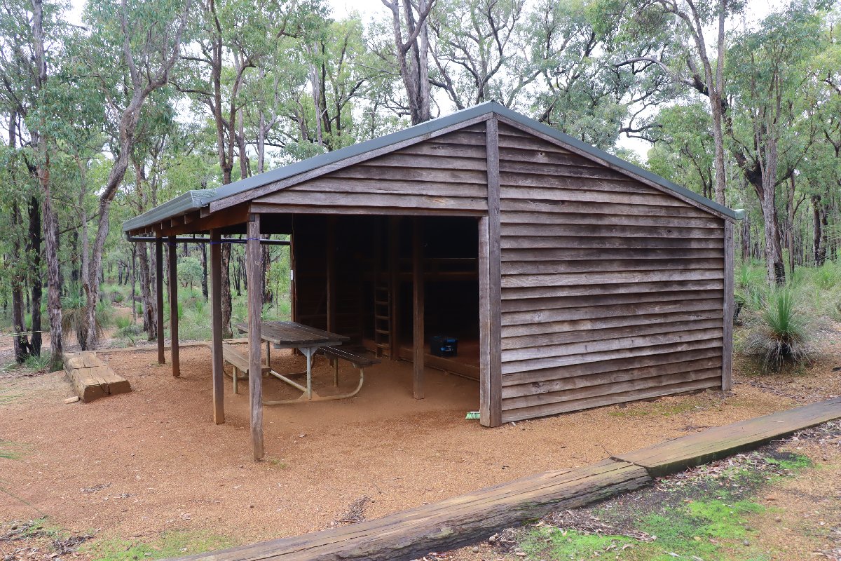
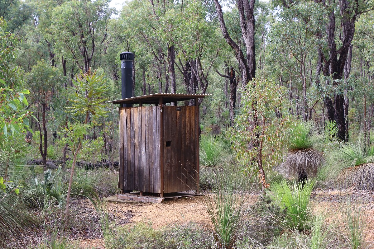
Hut #5 SOBO, Hut #45 NOBO. Configuration: Type 2 (Deep South). Distance from Waalegh: 8.6km. Distance to Mt Dale: 14.1km.
This hut was built in 199x. It was destroyed in a bushfire in January 2005 and subsequently rebuilt in January 2006.
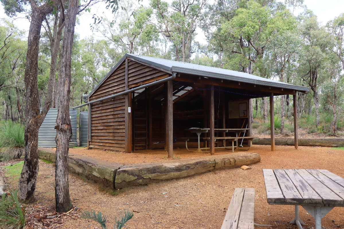
Beraking Hut
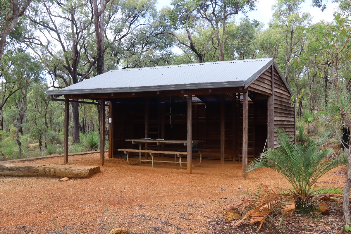
Beraking Hut
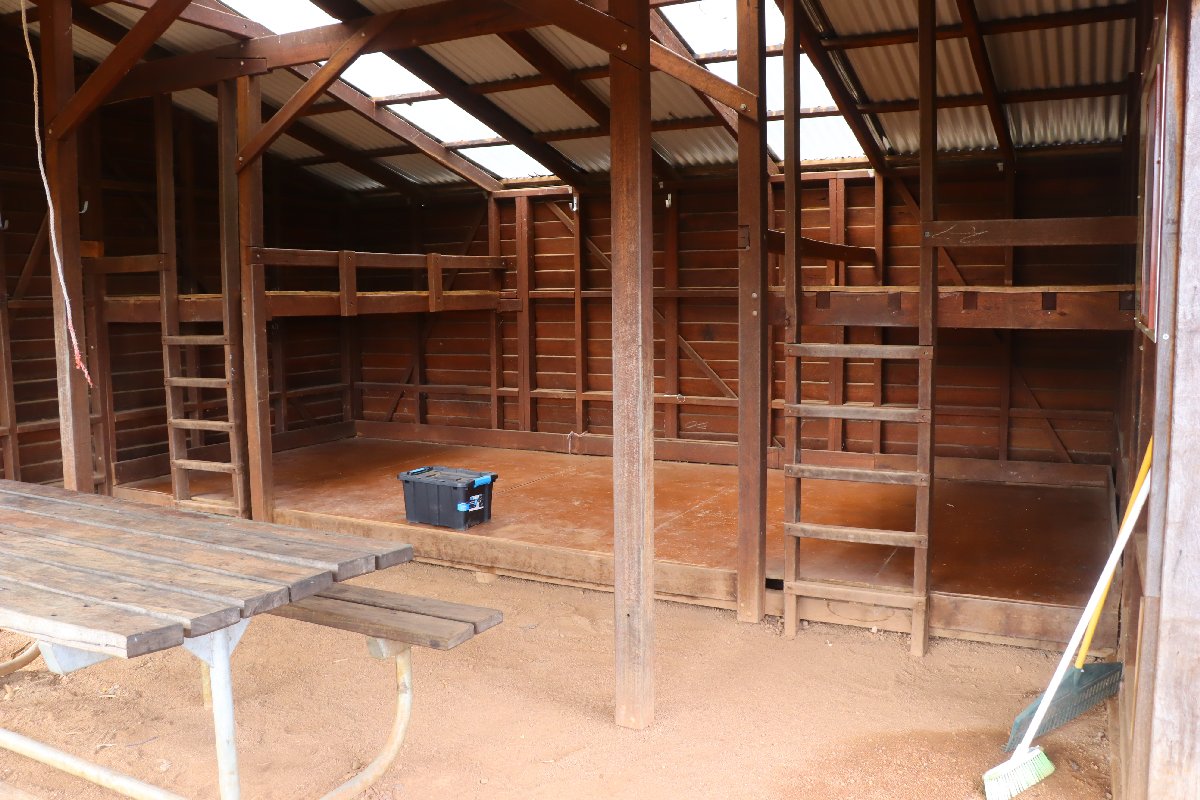
Beraking Hut
Beraking Hut
Beraking Hut
Beraking Hut
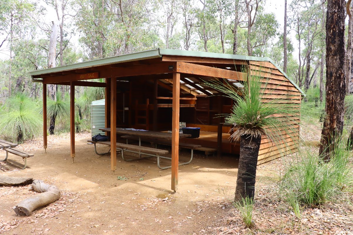
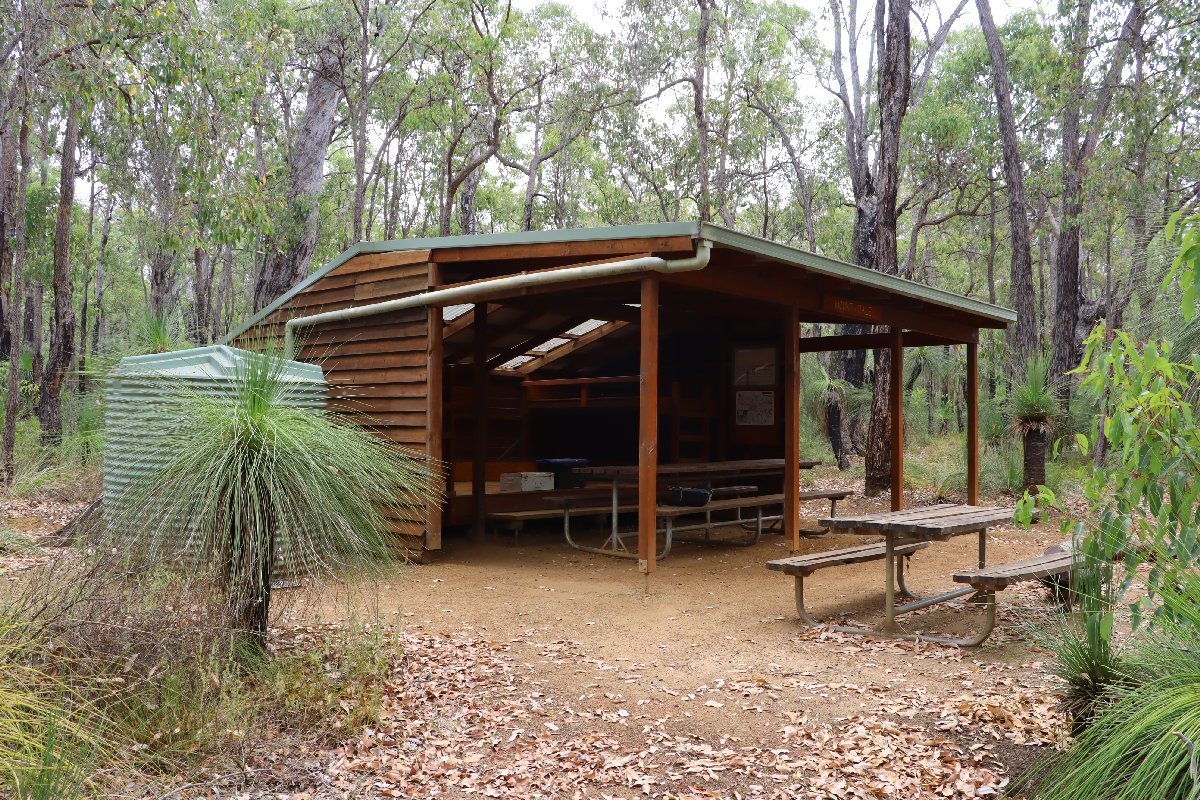
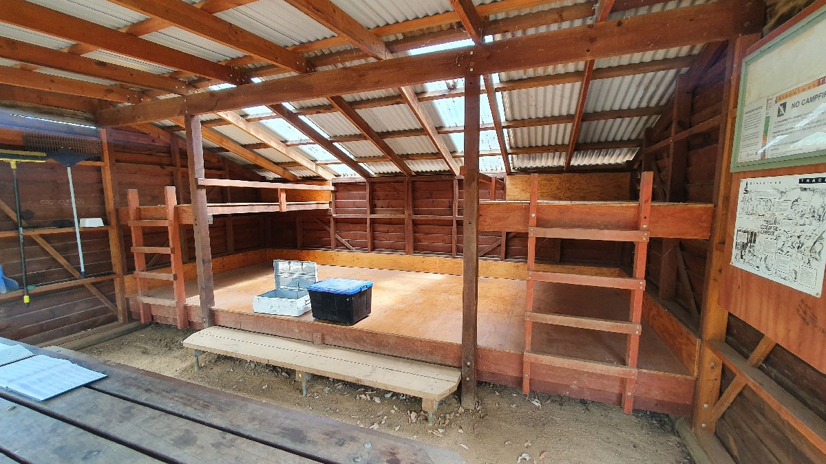
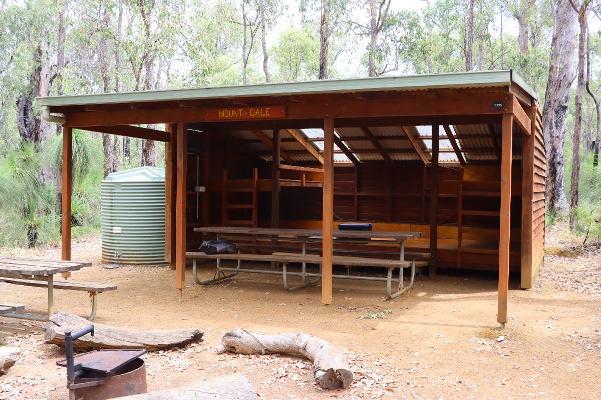
Mt Dale
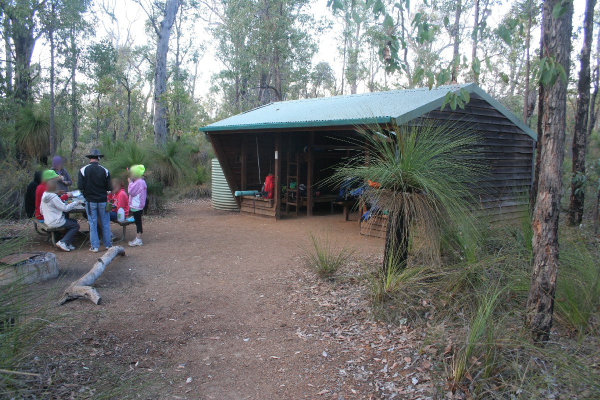
Hut #6 SOBO, Hut #44 NOBO. Configuration: Type 2 (Deep South). Distance from Beraking: 14.1km. Distance to Canning: 18.9km.
This hut was built as a Type 1A and has been rebuilt into a Type 2.
Mt Dale Hut
Mt Dale Hut
Mt Dale Hut
Mt Dale Hut
Mt Dale Hut
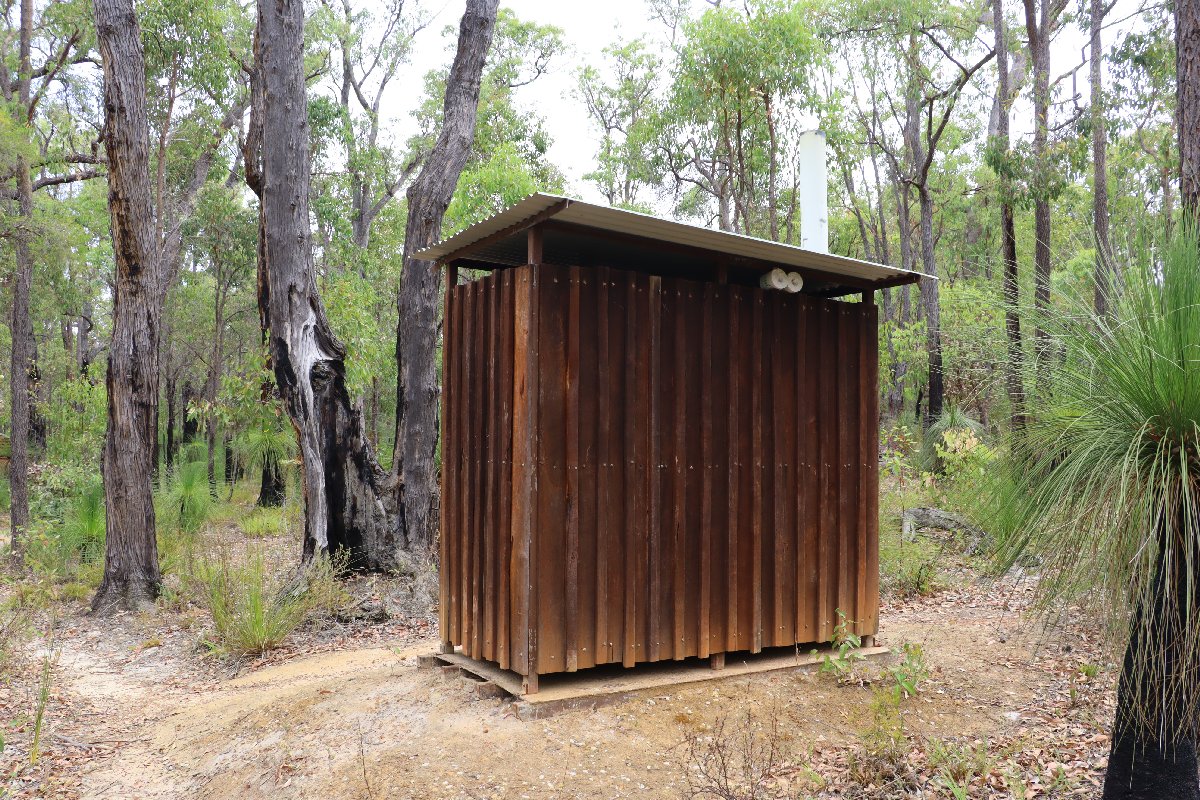
Mt Dale Hut
Brookton
Hut #7 SOBO, Hut #43 NOBO. Configuration: Type 3 (rammed earth Nornalup). Distance from Mt Dale: 7.7km. Distance to Canning: 11.2km.
This hut was built as a Type 2. It was destroyed in a bushfire in 2015 and has been rebuilt as a rammed earth Type 3 hut.
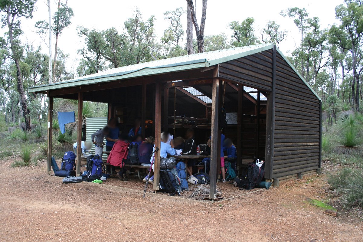
Brookton Hut
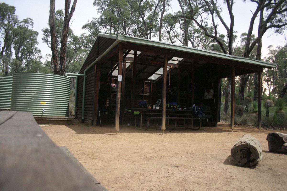
Brookton Hut
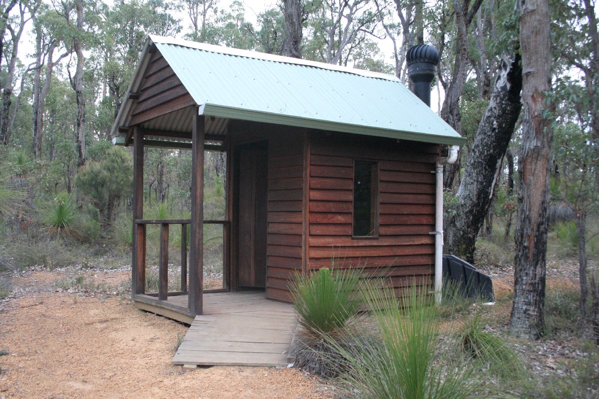
Brookton Hut
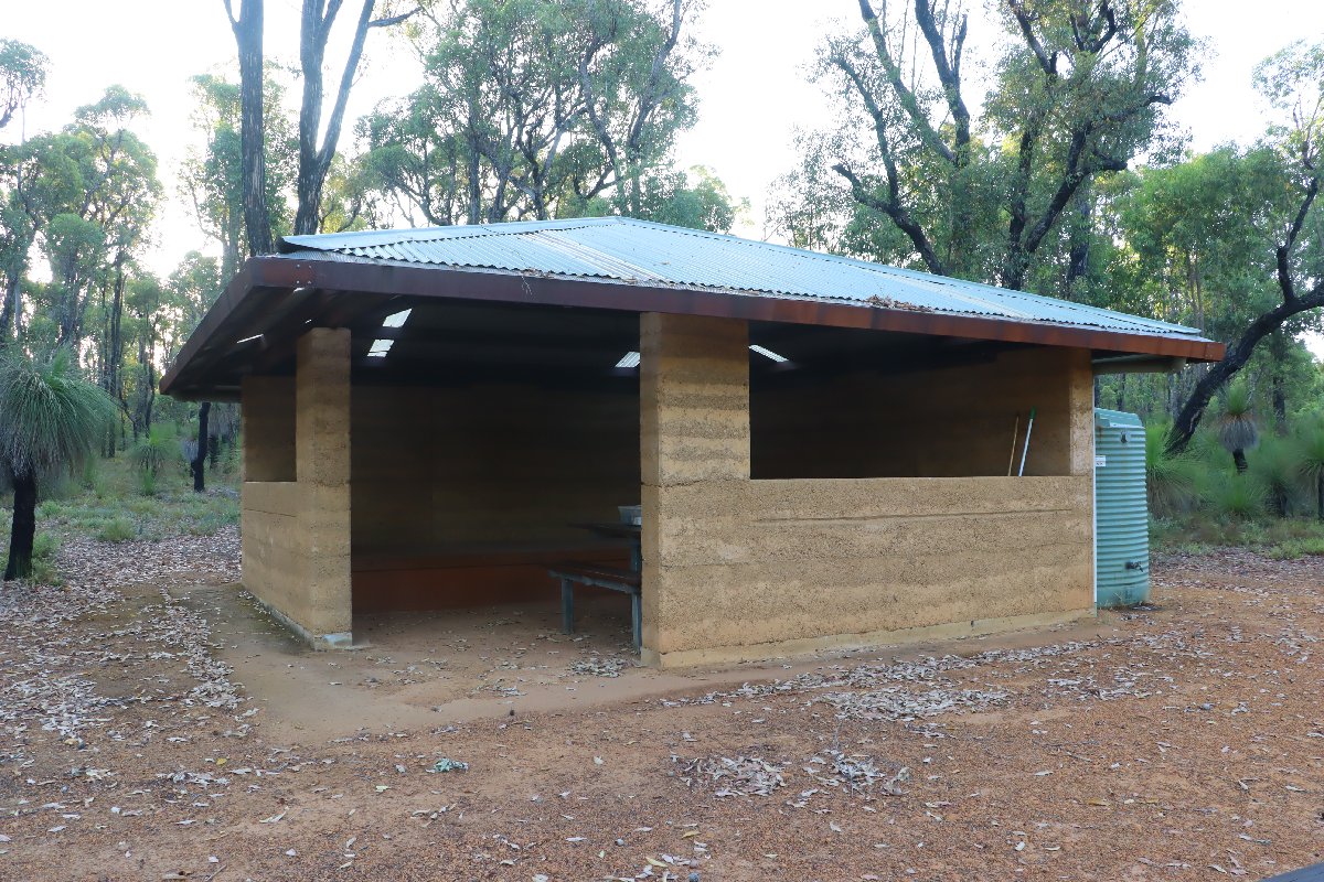
Brookton Hut
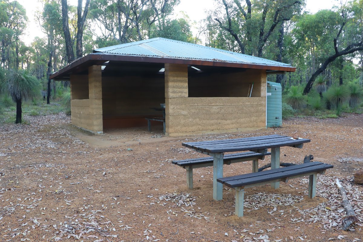
Brookton Hut
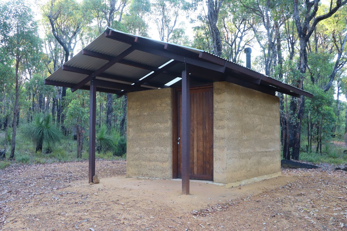
Brookton Hut
Canning
Hut #8 SOBO, Hut #42 NOBO. Configuration: Type 2 (Deep South). Distance from Brookton: 11.2km. Distance to Monadnocks: 15.6km.
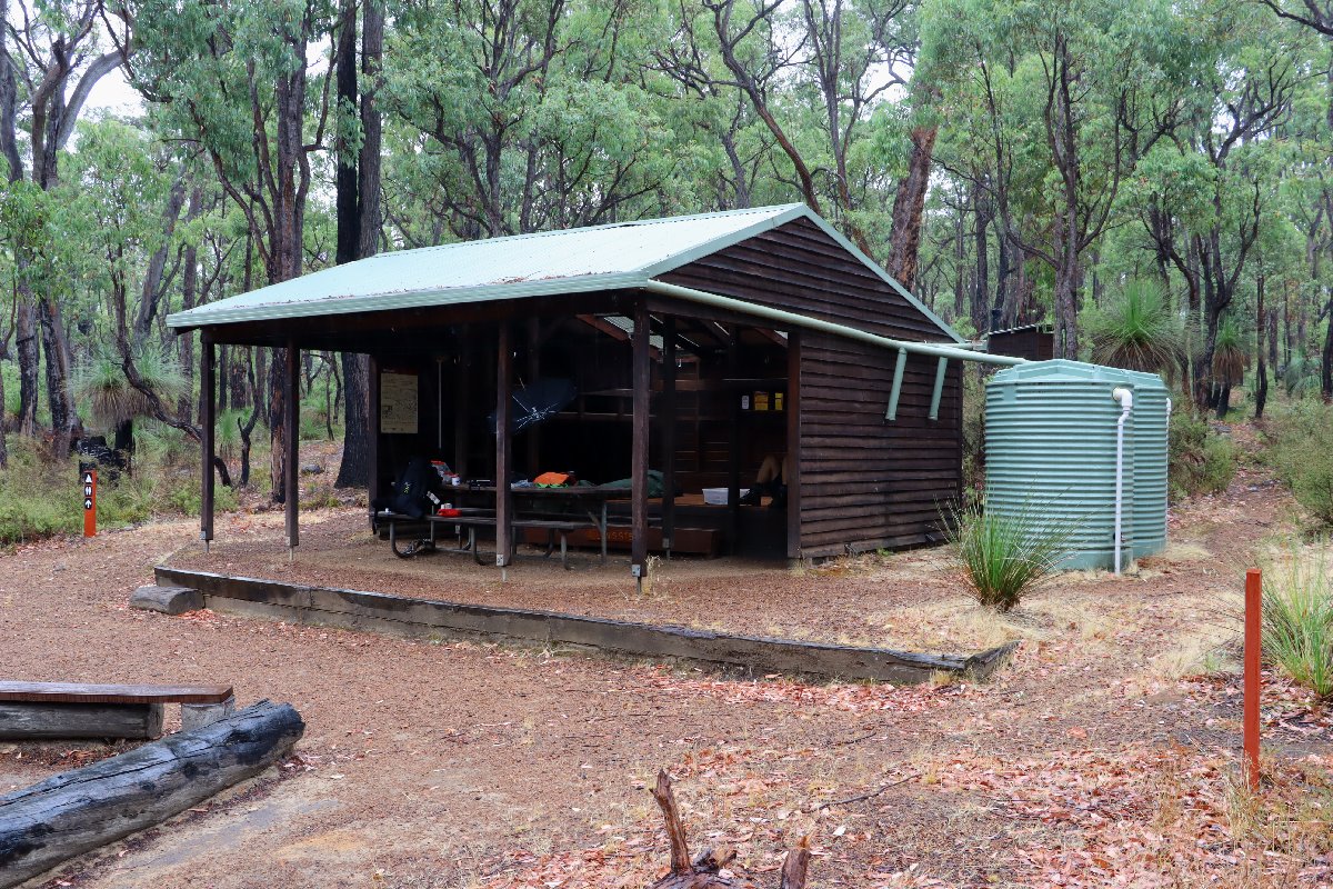
Canning
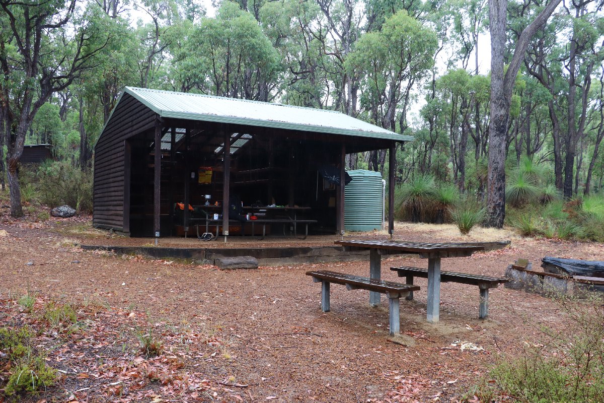
Canning
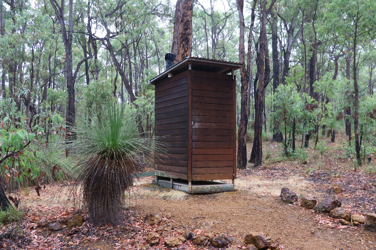
Canning
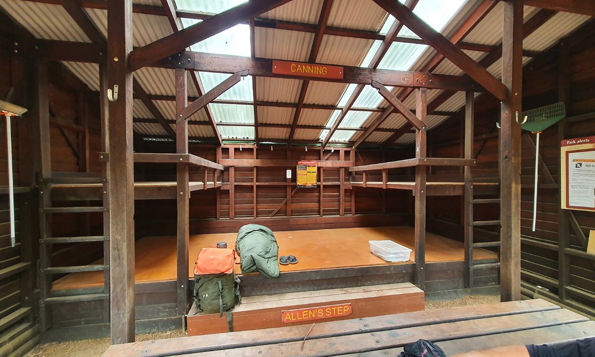
Canning
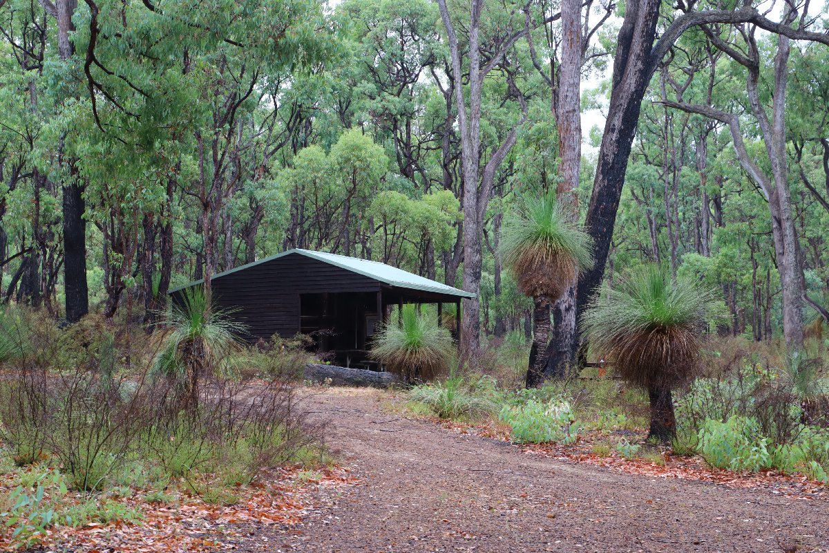
Canning
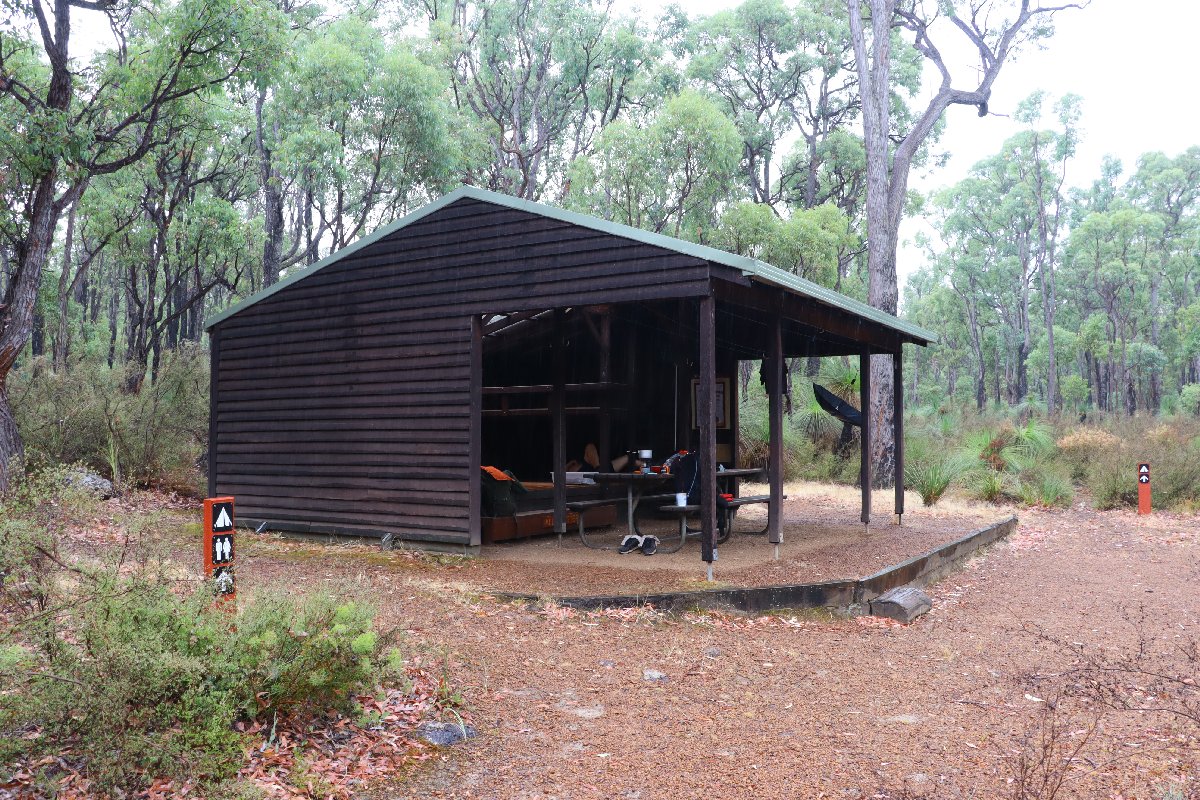
Canning
Monadnocks
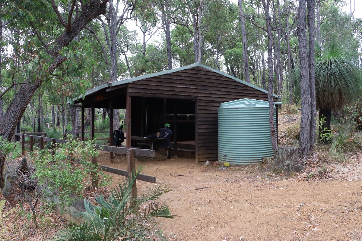
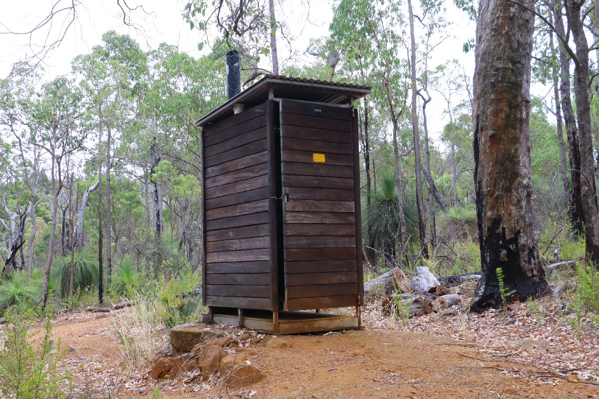
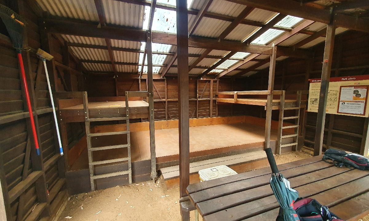
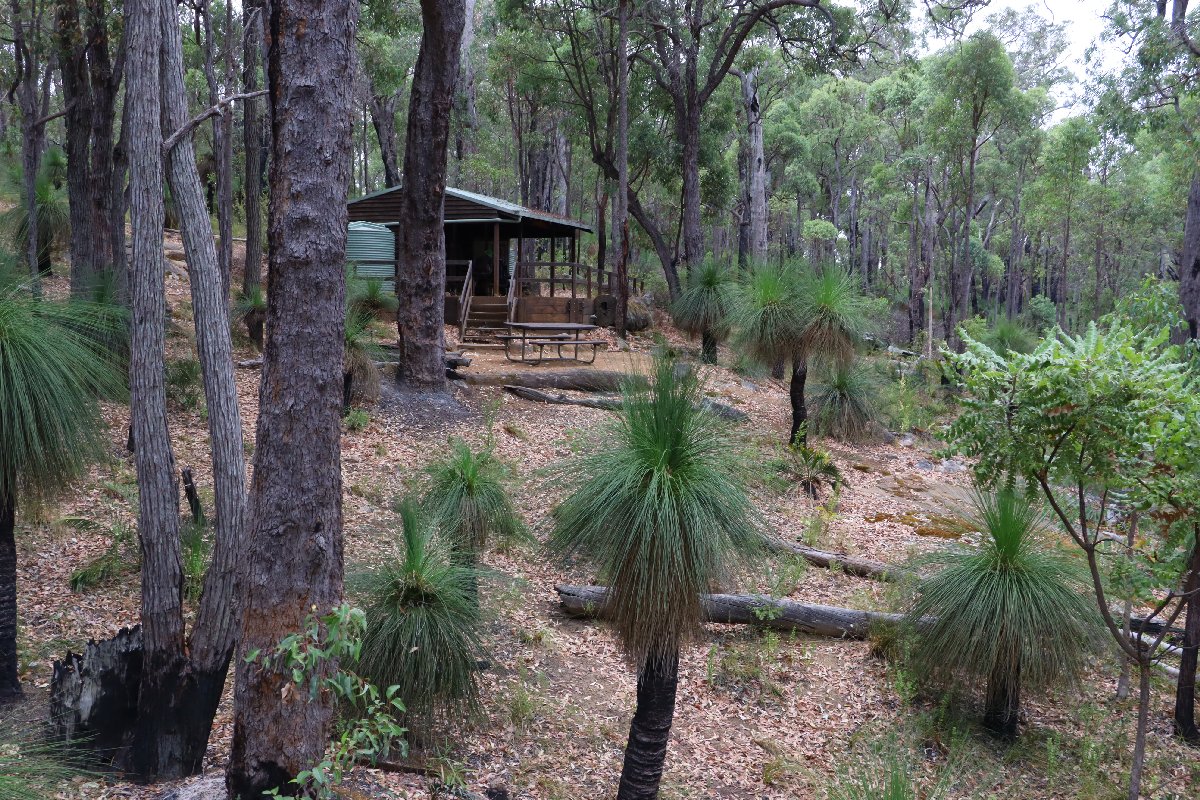
Hut #9 SOBO, Hut #41 NOBO. Configuration: Type 2 (Deep South). Distance from Canning: 15.6km. Distance to Mt Cooke: 12.8km.
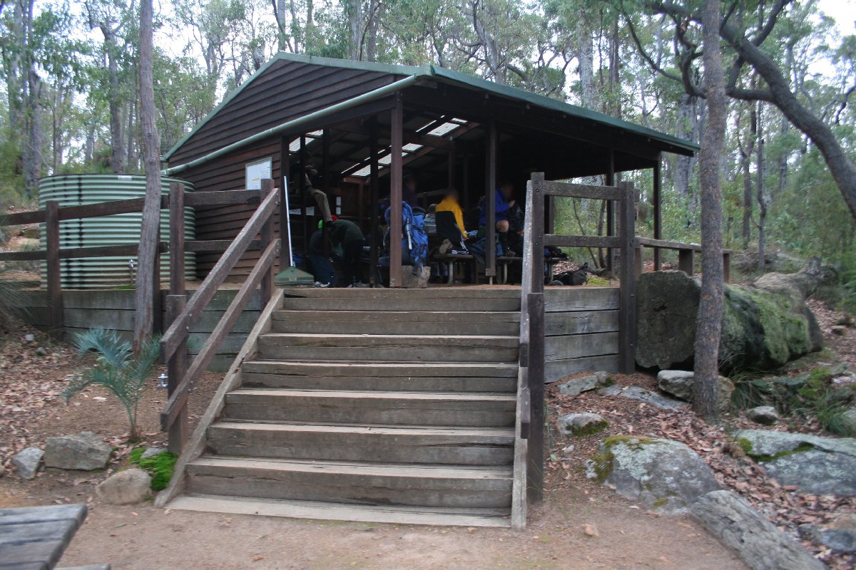
Monadnocks Hut
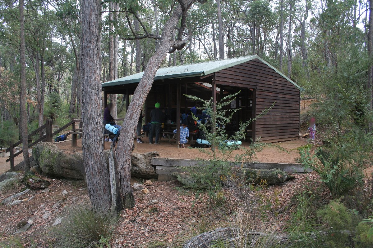
Monadnocks Hut
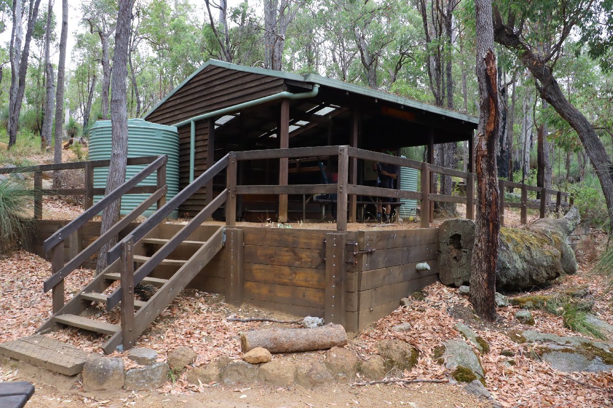
Monadnocks Hut
Monadnocks Hut
Monadnocks Hut
Monadnocks Hut
Monadnocks Hut
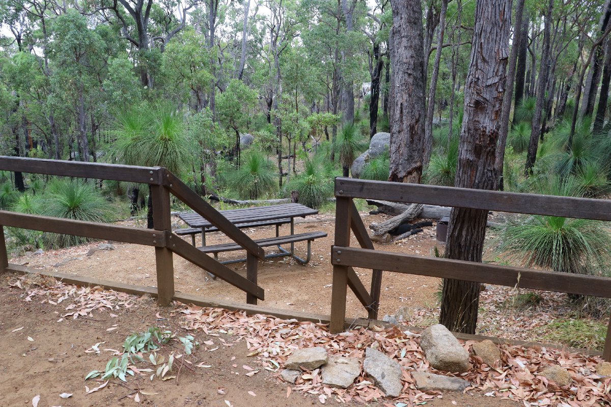
Monadnocks Hut
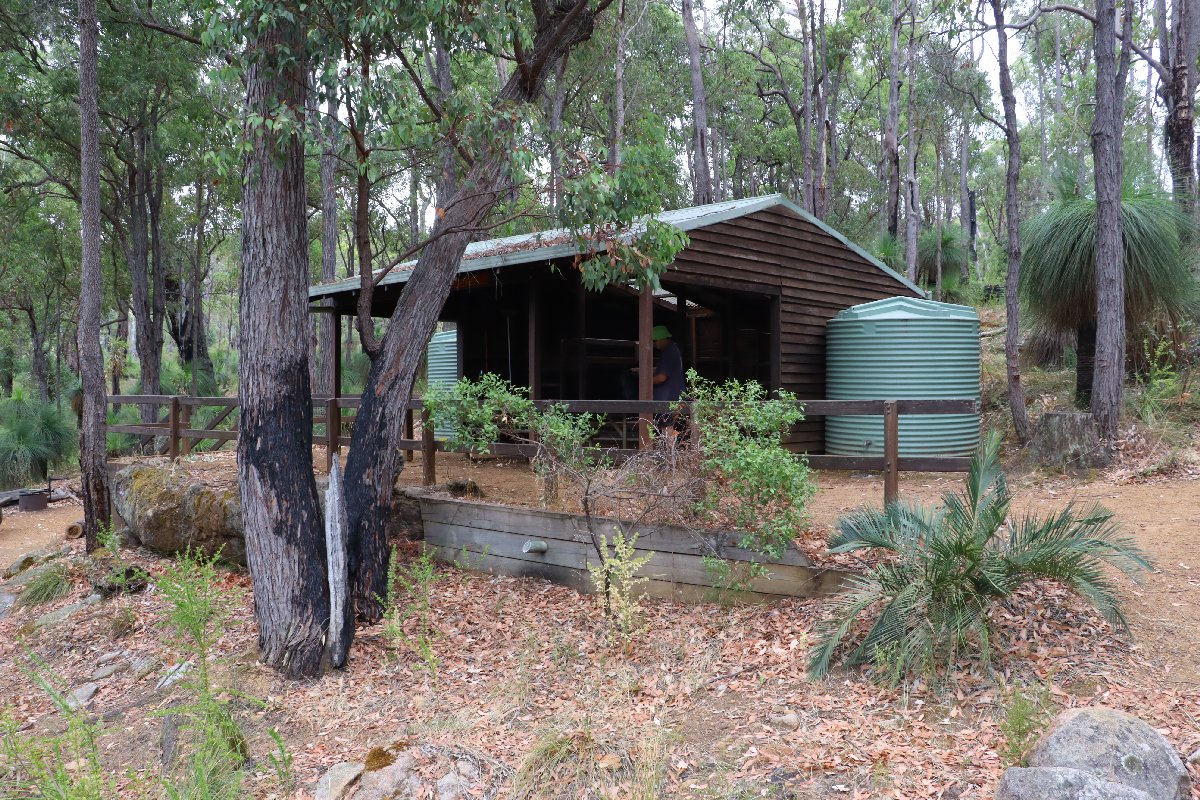
Monadnocks Hut
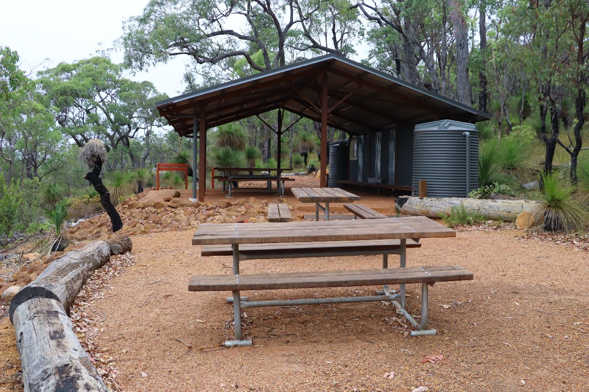
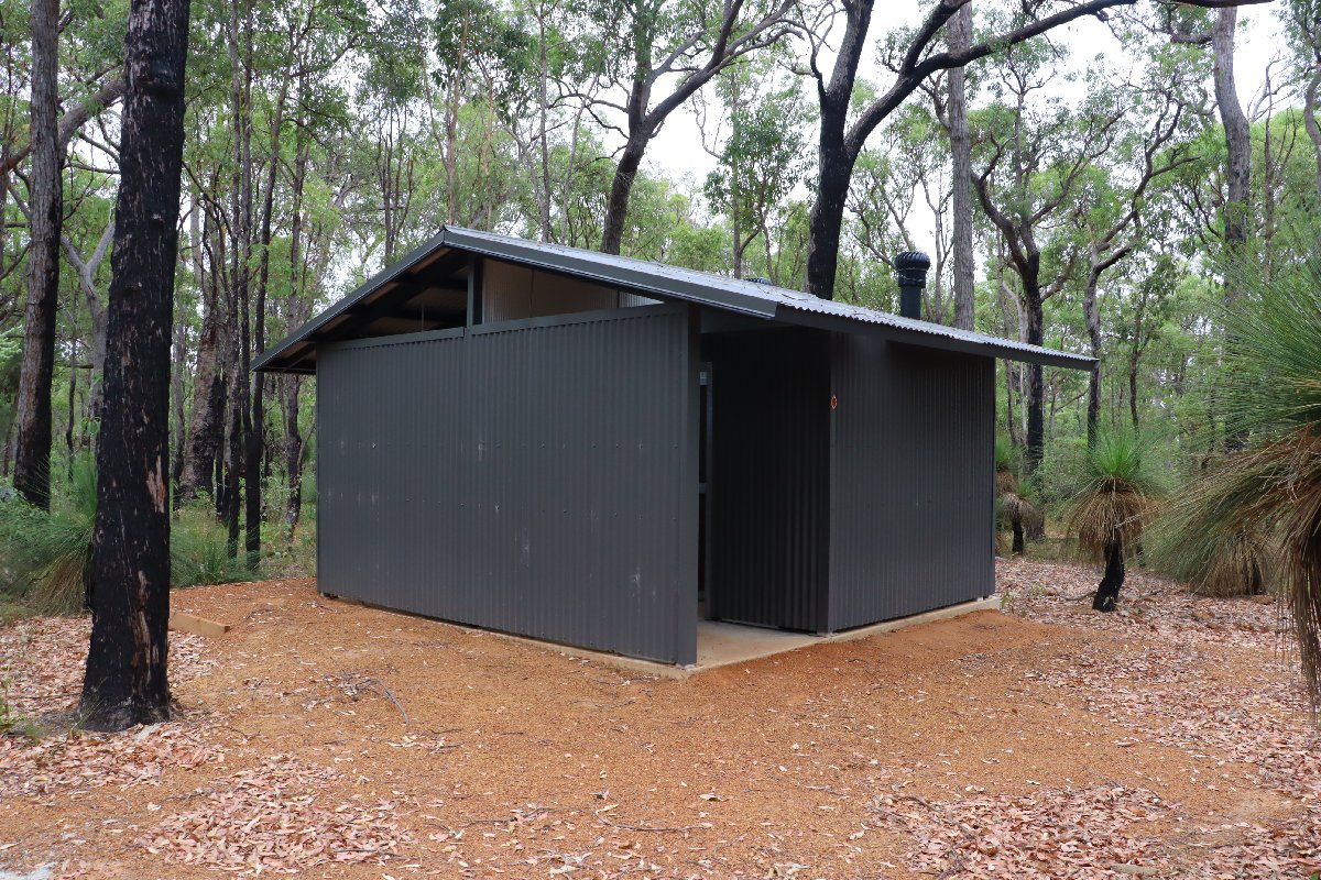
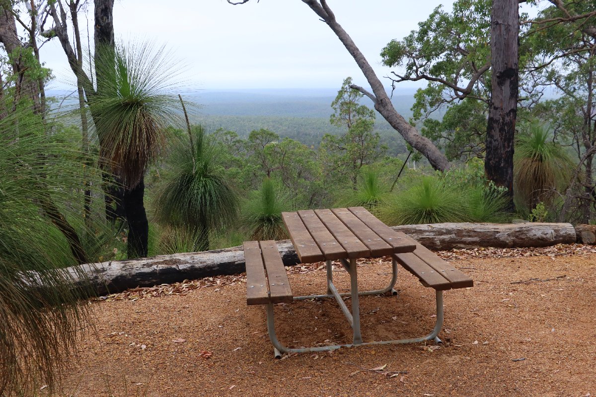
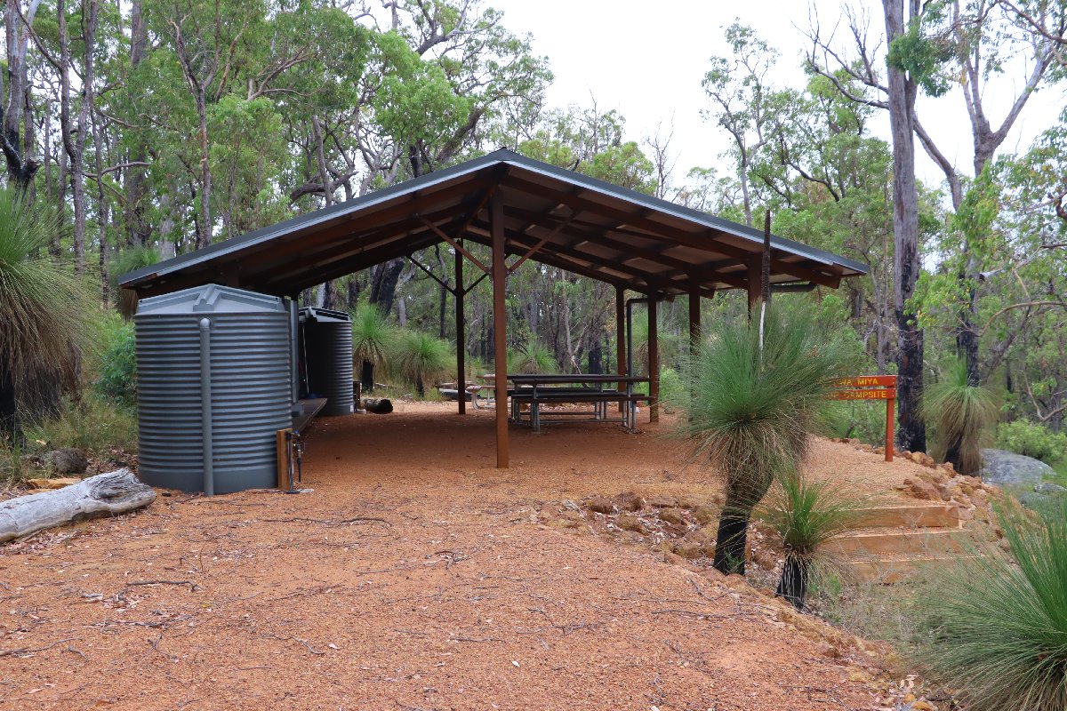
Alyi-Wa Miya Group Hut
Hut #9a SOBO, Hut #41a NOBO. Configuration: Other (Group hut). Distance from Canning: 15.9km. Distance to Mt Cooke: 12.5km.
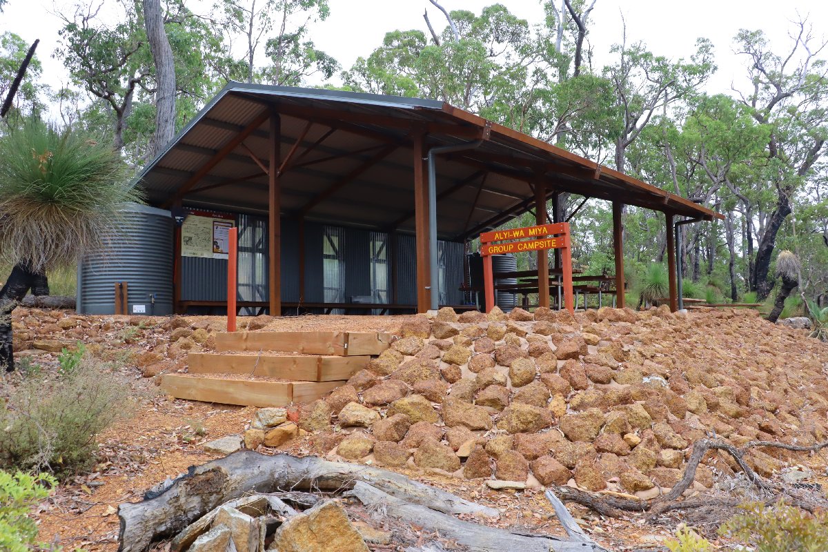
Alyi-wa Miya Group Hut
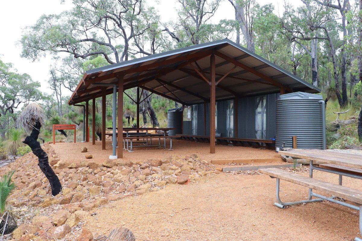
Alyi-wa Miya Group Hut
Alyi-wa Miya Group Hut
Alyi-wa Miya Group Hut
Alyi-wa Miya Group Hut
Alyi-wa Miya Group Hut
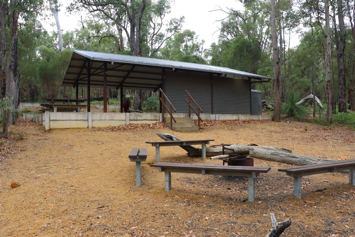
Mt Cooke Group Hut
Hut #10a SOBO, Hut #40a NOBO. Configuration: Other (Group hut). Distance from Monadnocks: 12.3km. Distance to Nerang: 14.2km.
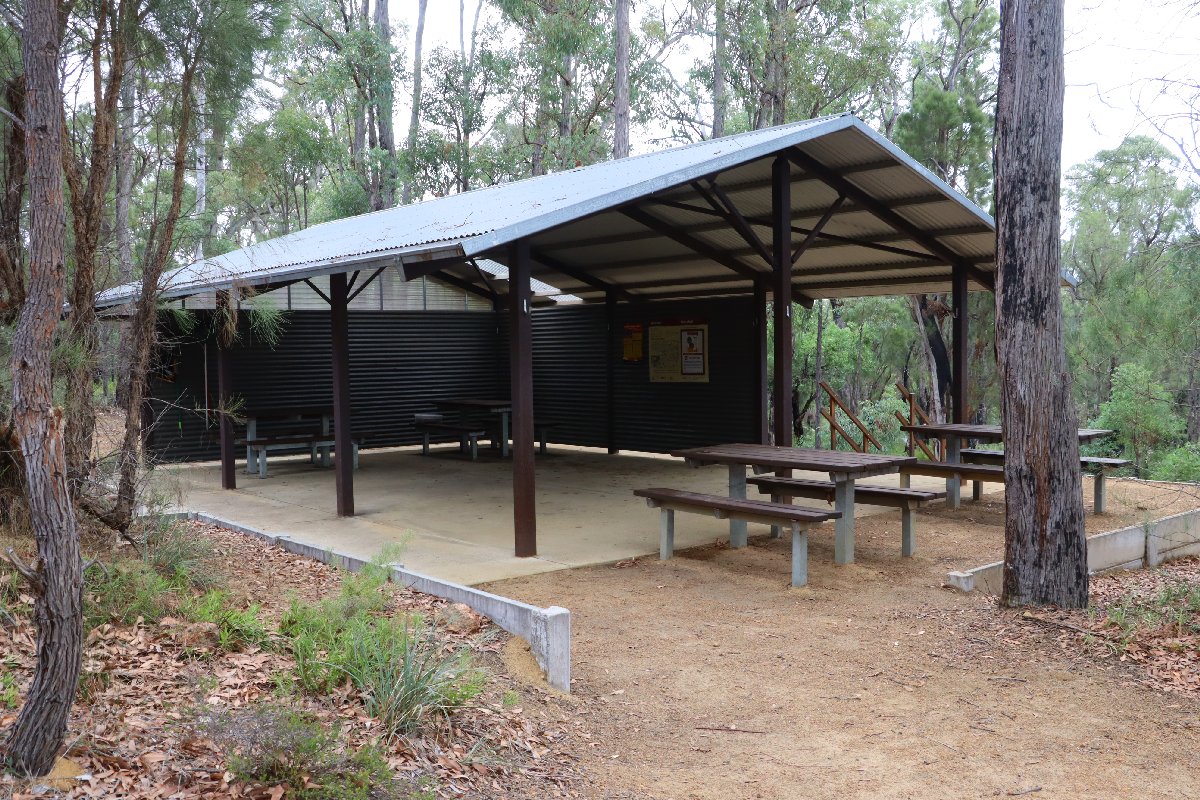
Mt Cooke Group Hut
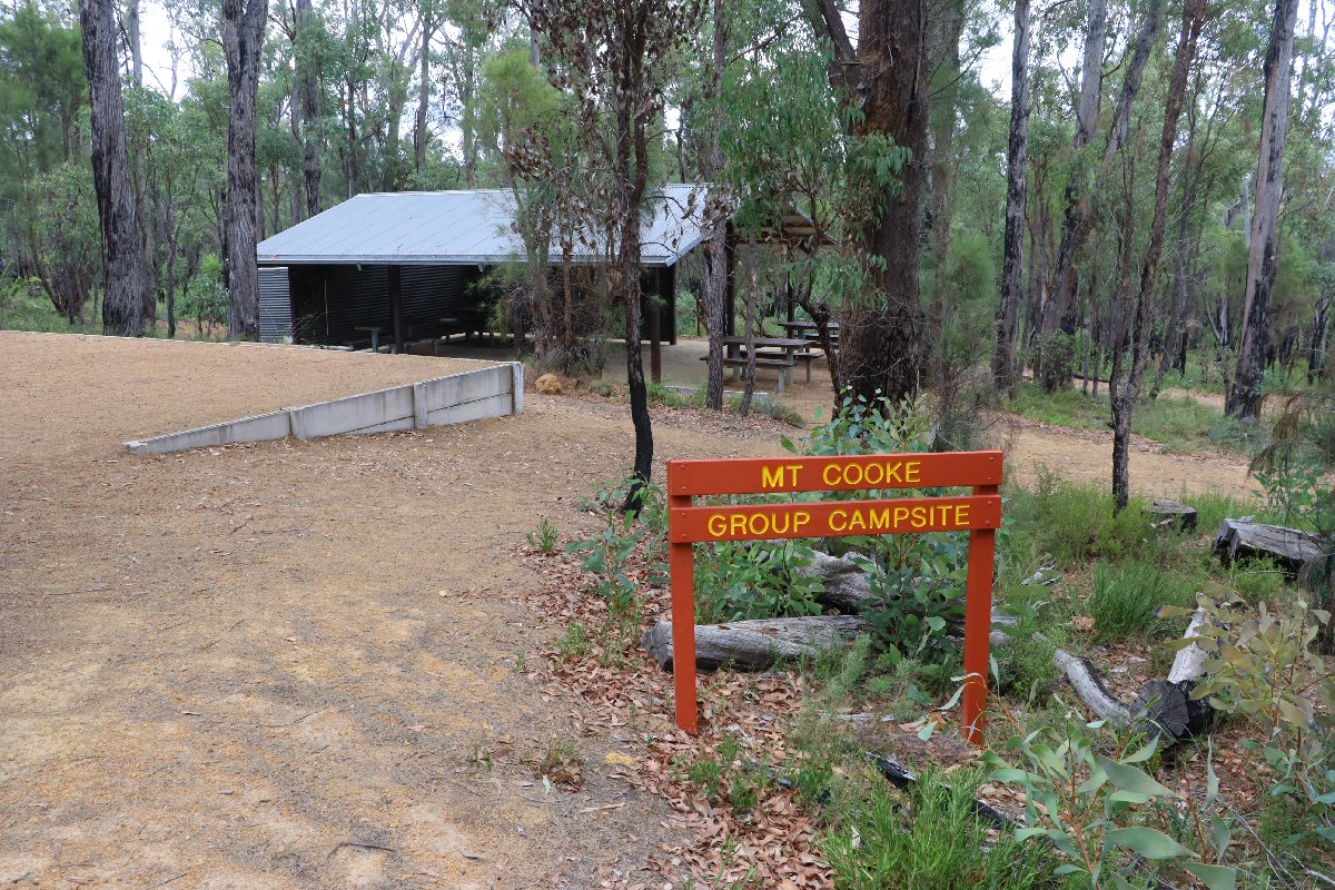
Mt Cooke Group Hut
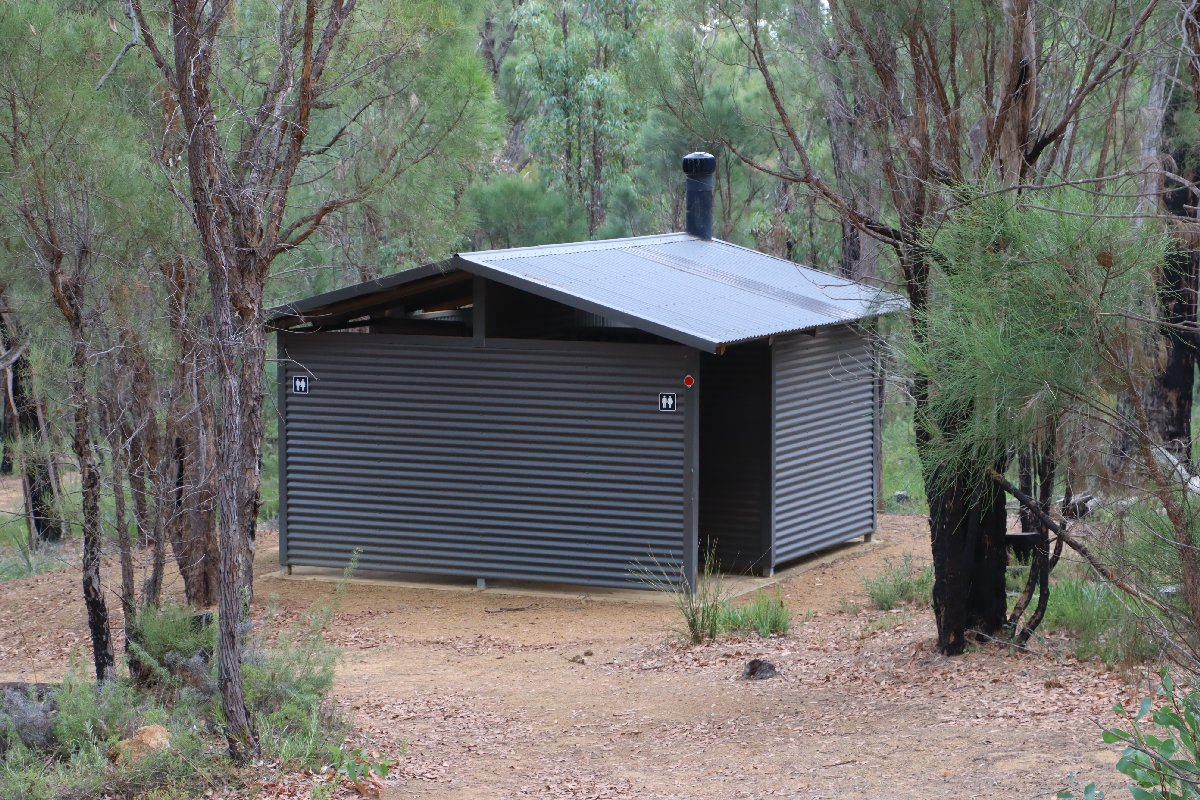
Mt Cooke Group Hut
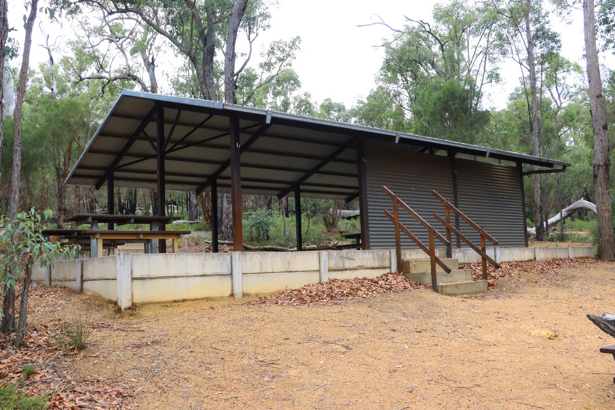
Mt Cooke Group Hut
Mt Cooke Group Hut
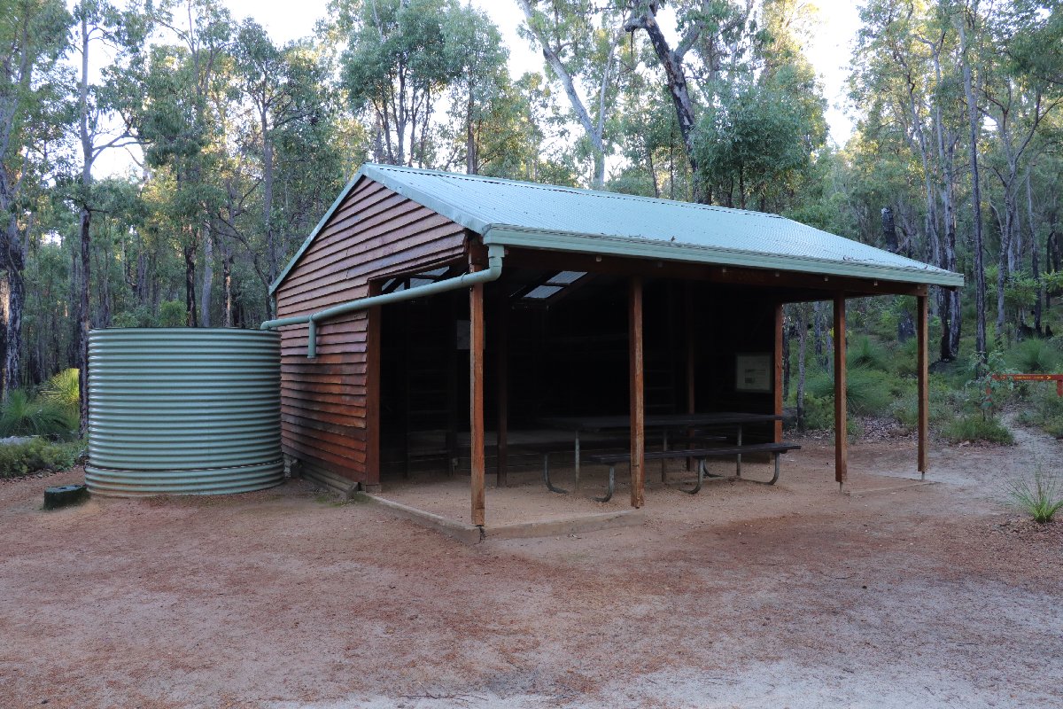
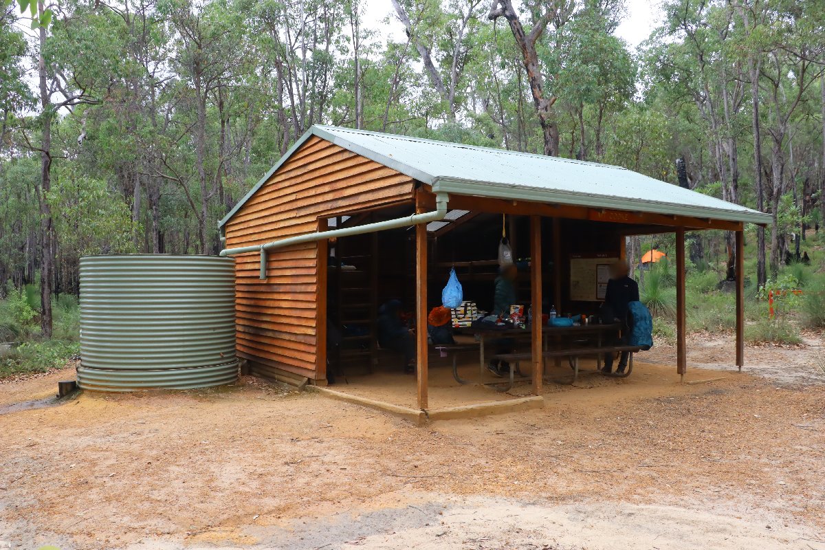
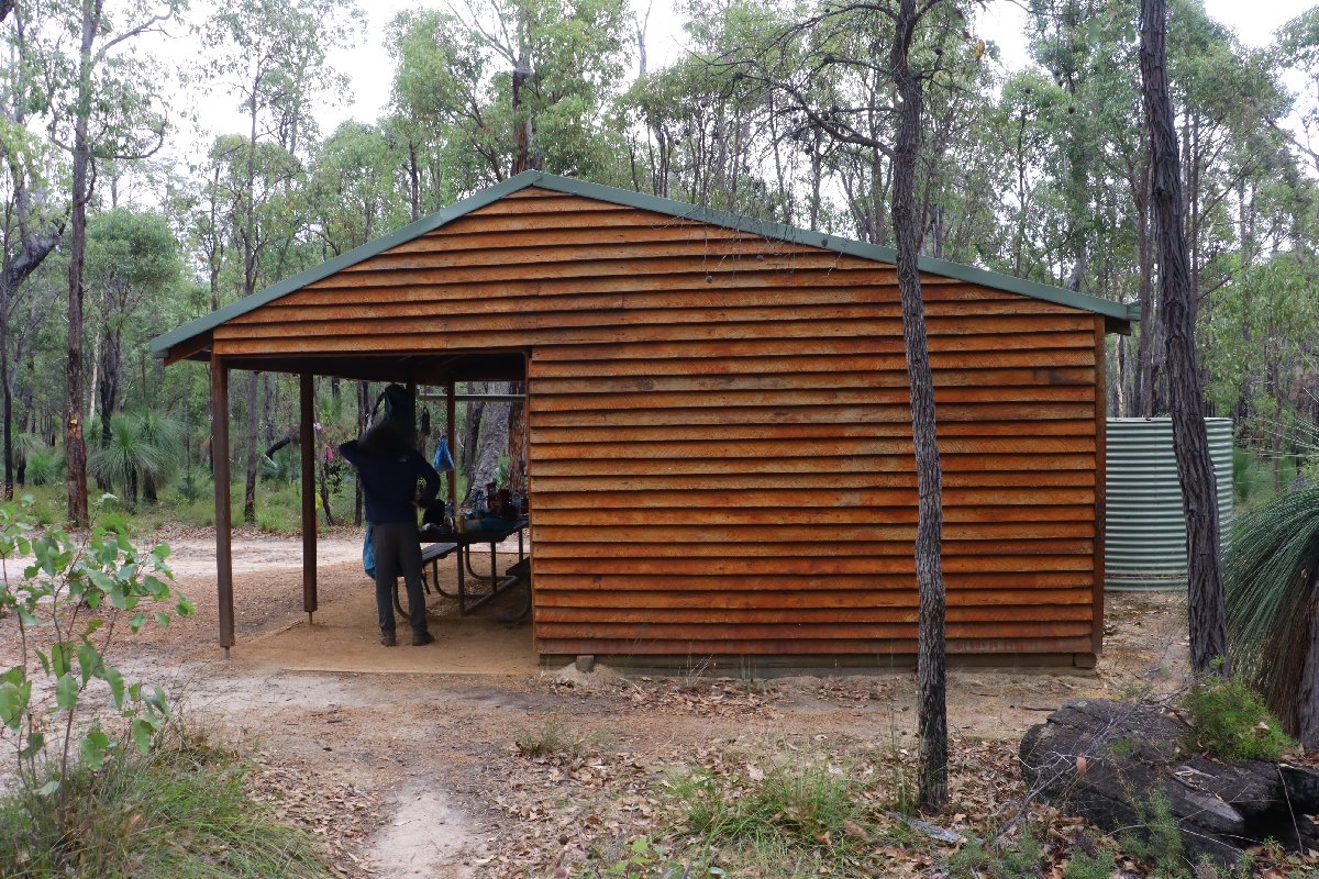
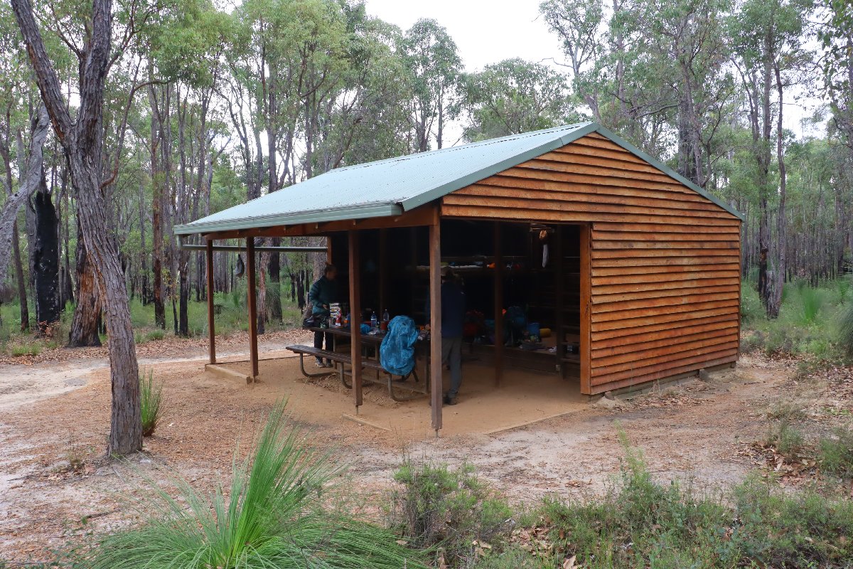
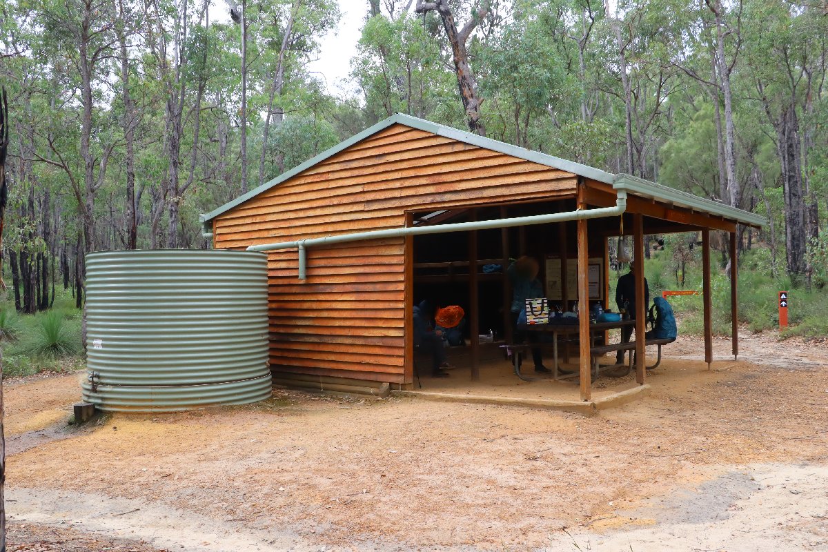
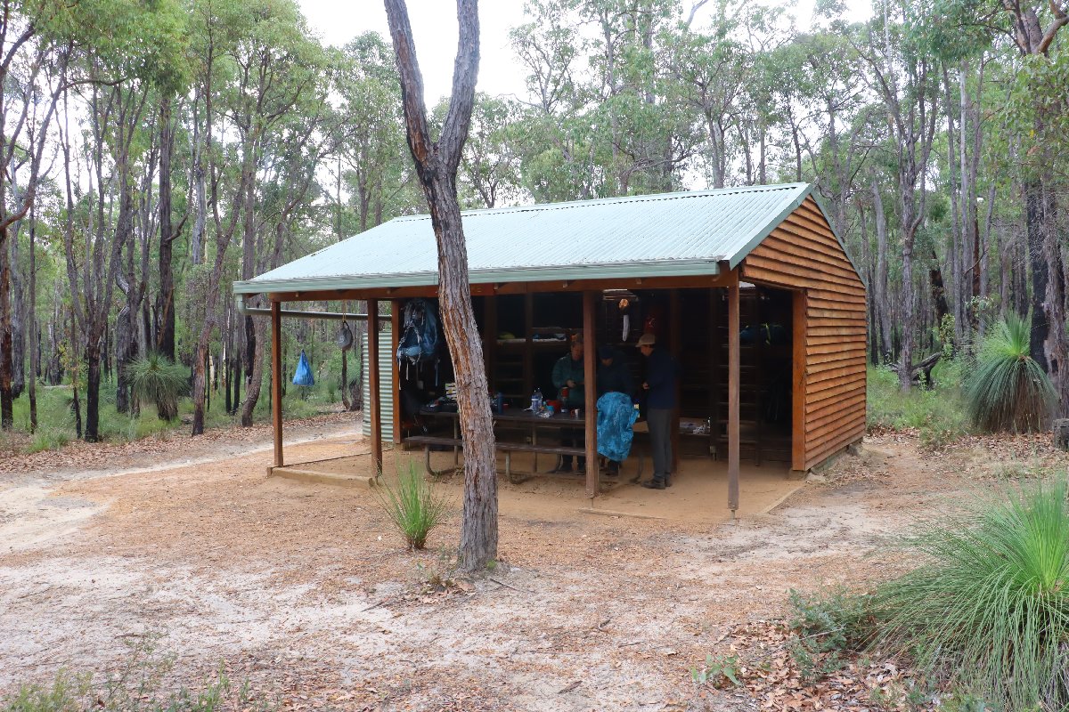
Mt Cooke
Hut #10 SOBO, Hut #40 NOBO. Configuration: Type 2 (Deep South). Distance from Monadnocks: 12.8km. Distance to Nerang: 13.7km.
This hut was destroyed by fire in 2003. The hut was rebuilt about 200m from the original site.
Mt Cooke Hut
Mt Cooke Hut
Mt Cooke Hut
Mt Cooke Hut
Mt Cooke Hut
Mt Cooke Hut
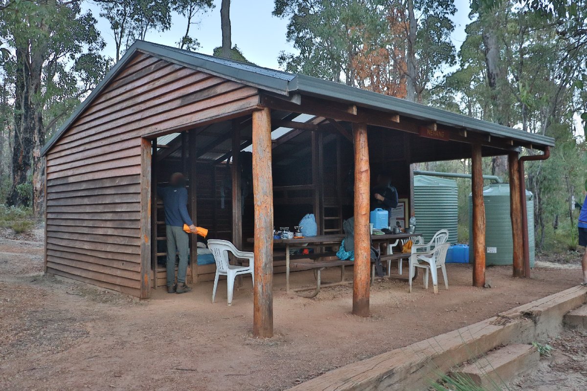
Nerang
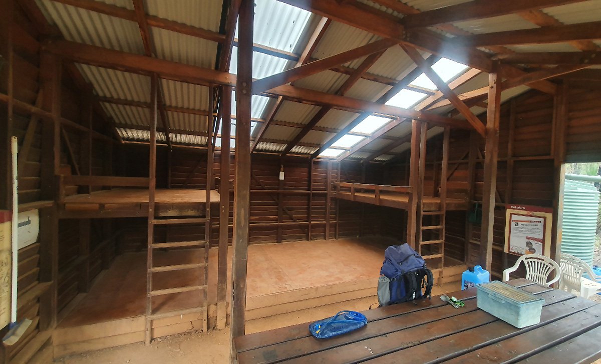
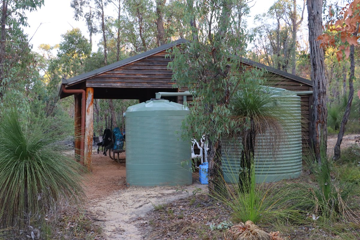
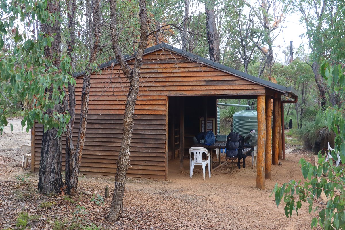
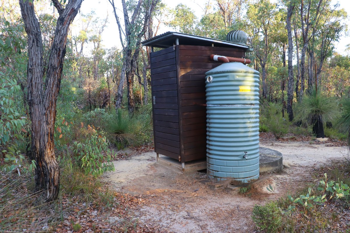
Hut #11 SOBO, Hut #39 NOBO. Configuration: Type 2 (Deep South). Distance from Mt Cooke: 13.7km. Distance to Gringer Creek: 16.5km.
This hut was destroyed by fire in the early 2000s. The hut was rebuilt several hundred metres from the original site. The original hut was of an unknown configuration. This hut is unique in that the verandah poles are made from logs rather than milled timber.
Nerang Hut
Nerang Hut
Nerang Hut
Nerang Hut
Nerang Hut
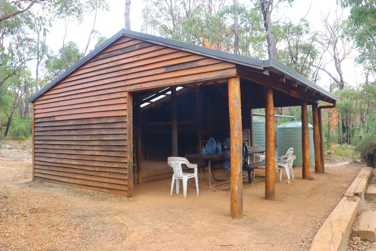
Nerang Hut
Gringer Creek
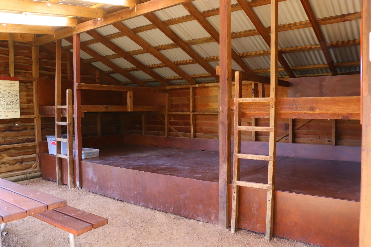
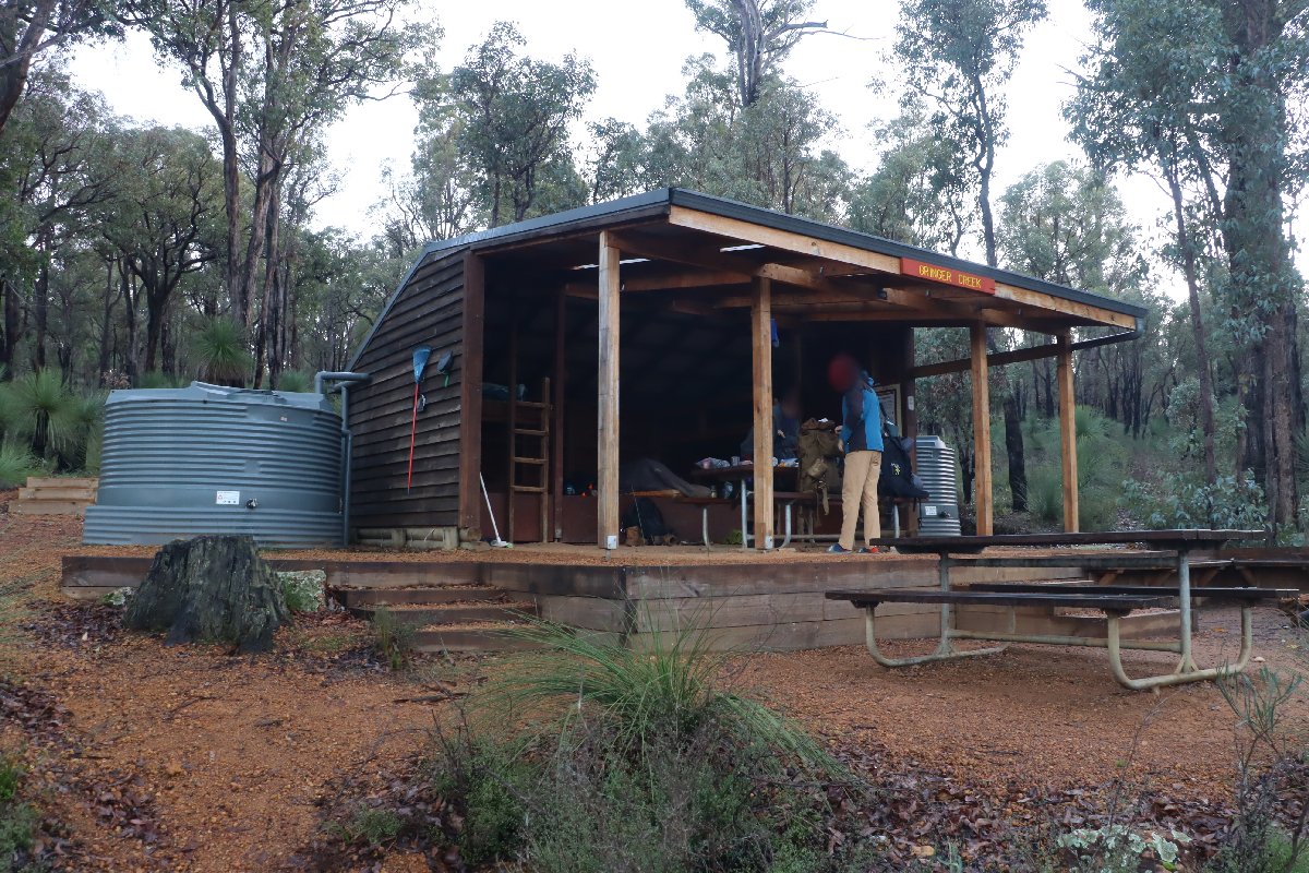
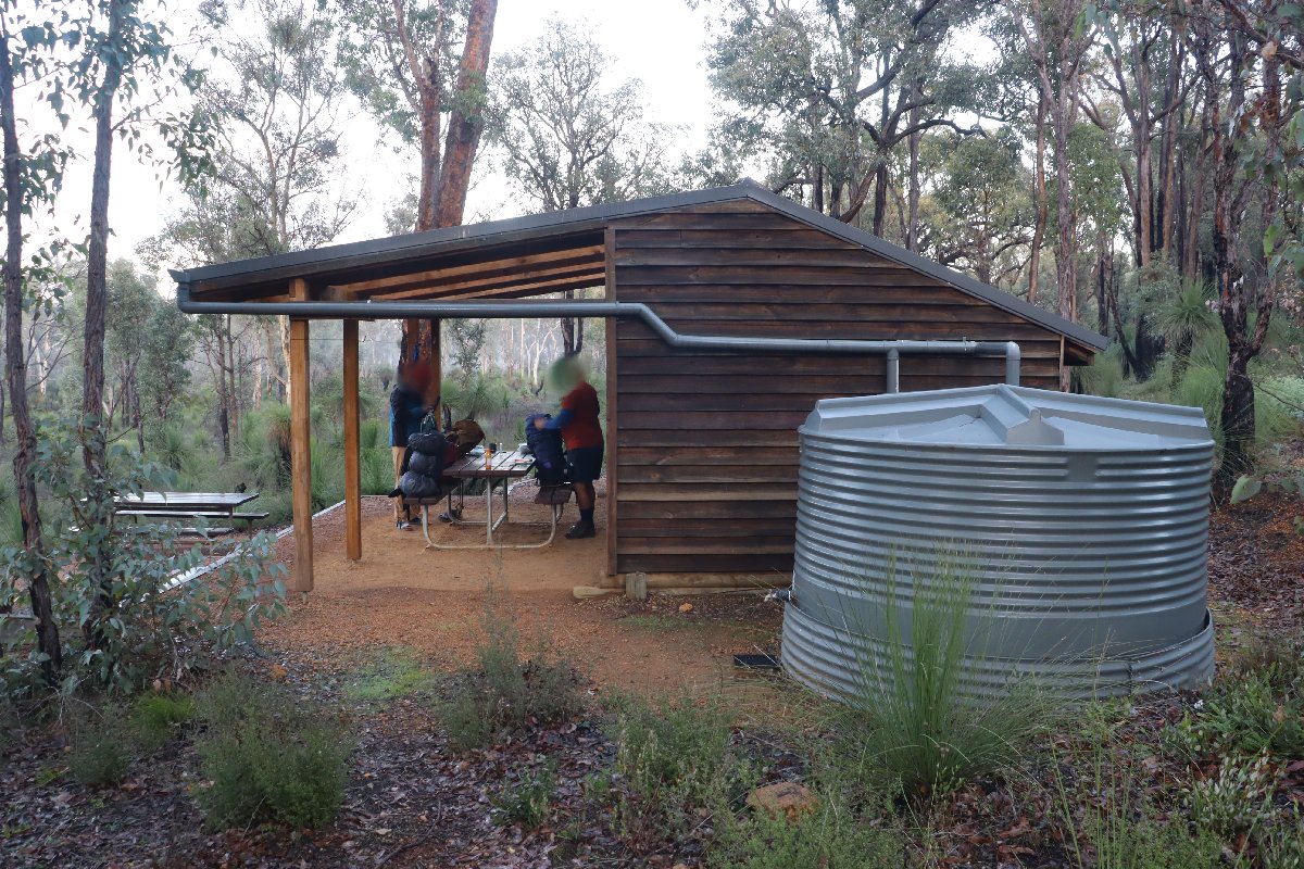
Hut #12 SOBO, Hut #38 NOBO. Configuration: Type 2 (Deep South). Distance from Nerang: 16.5km. Distance to White Horse Hills: 16.2km.
This hut was built as a Type 1A but has been converted to a Type 2.
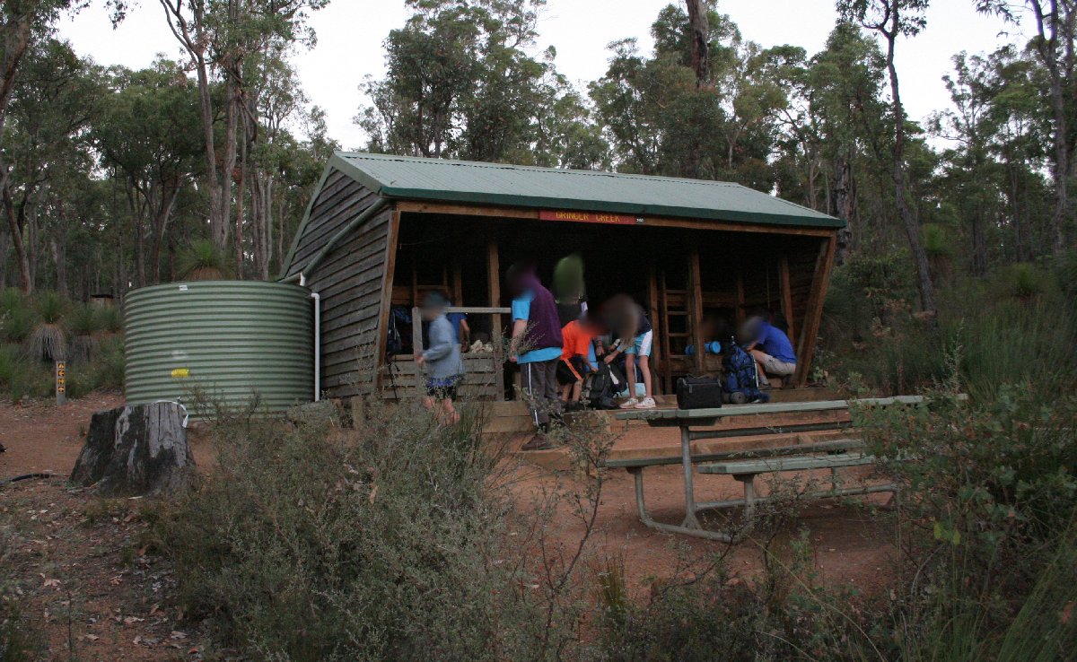
Gringer Creek
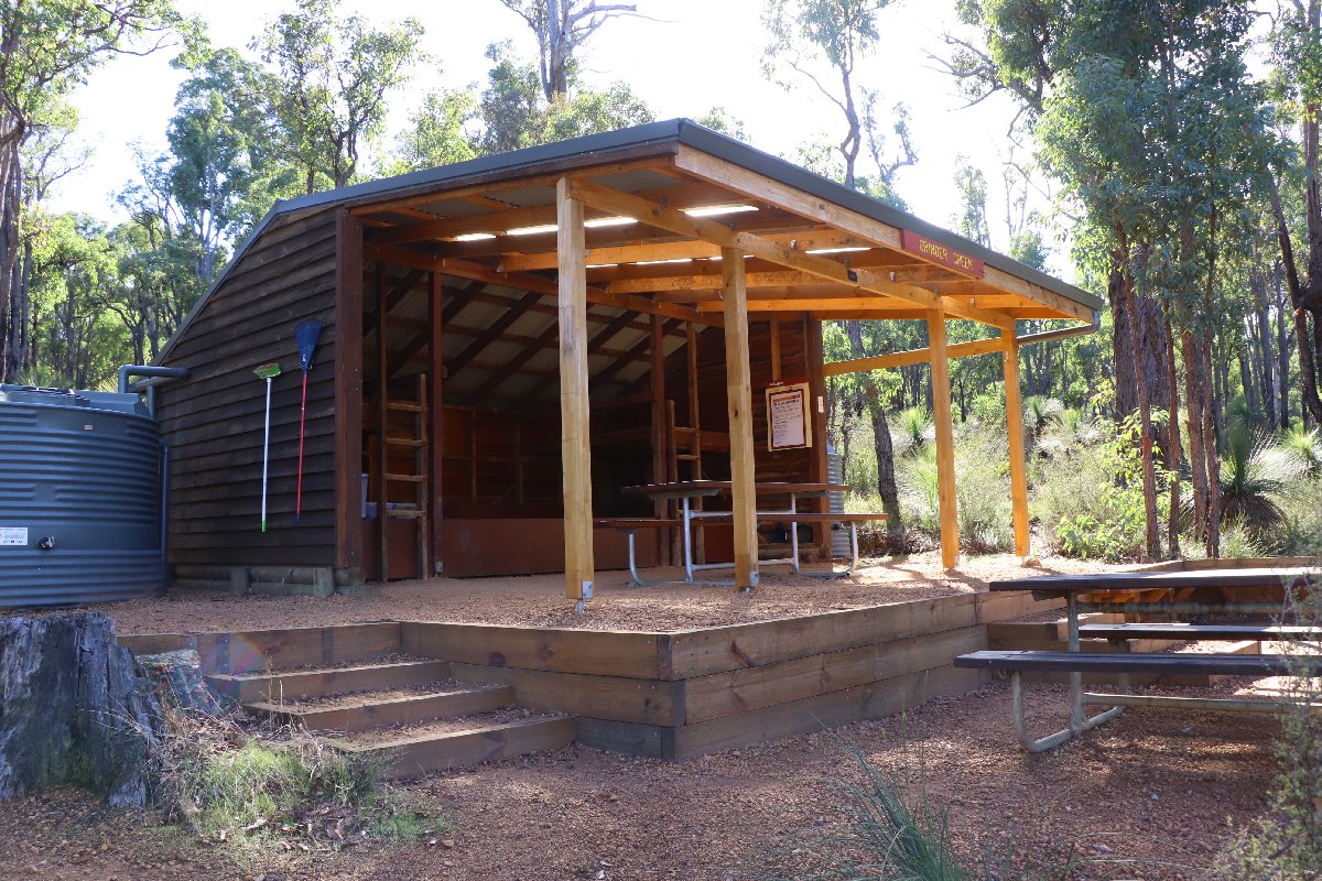
Gringer Creek
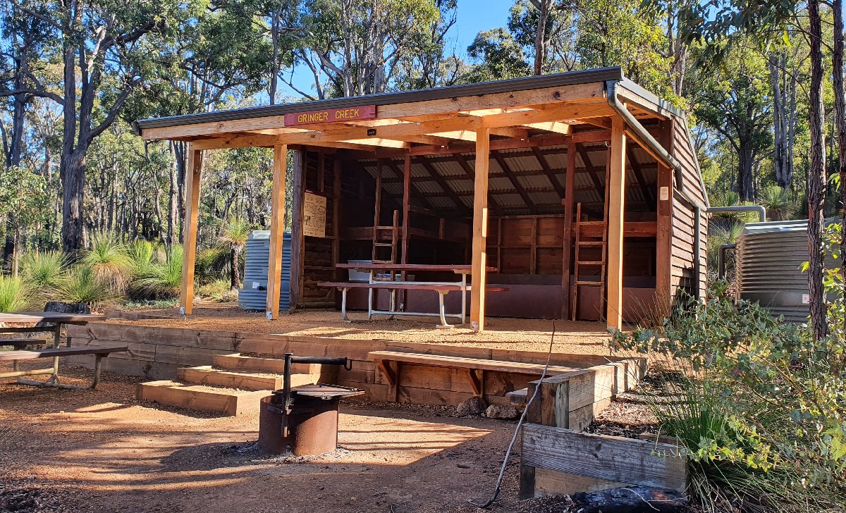
Gringer Creek
Gringer Creek
Gringer Creek
Gringer Creek
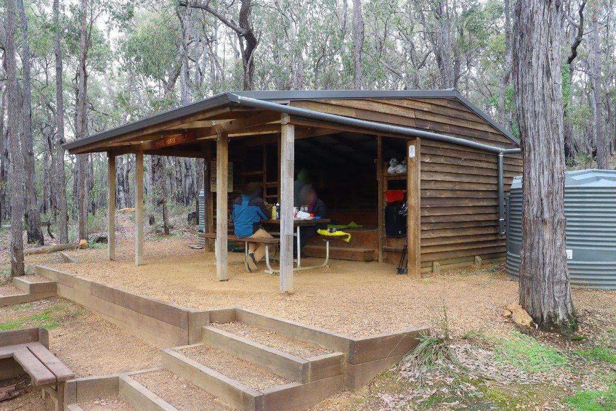
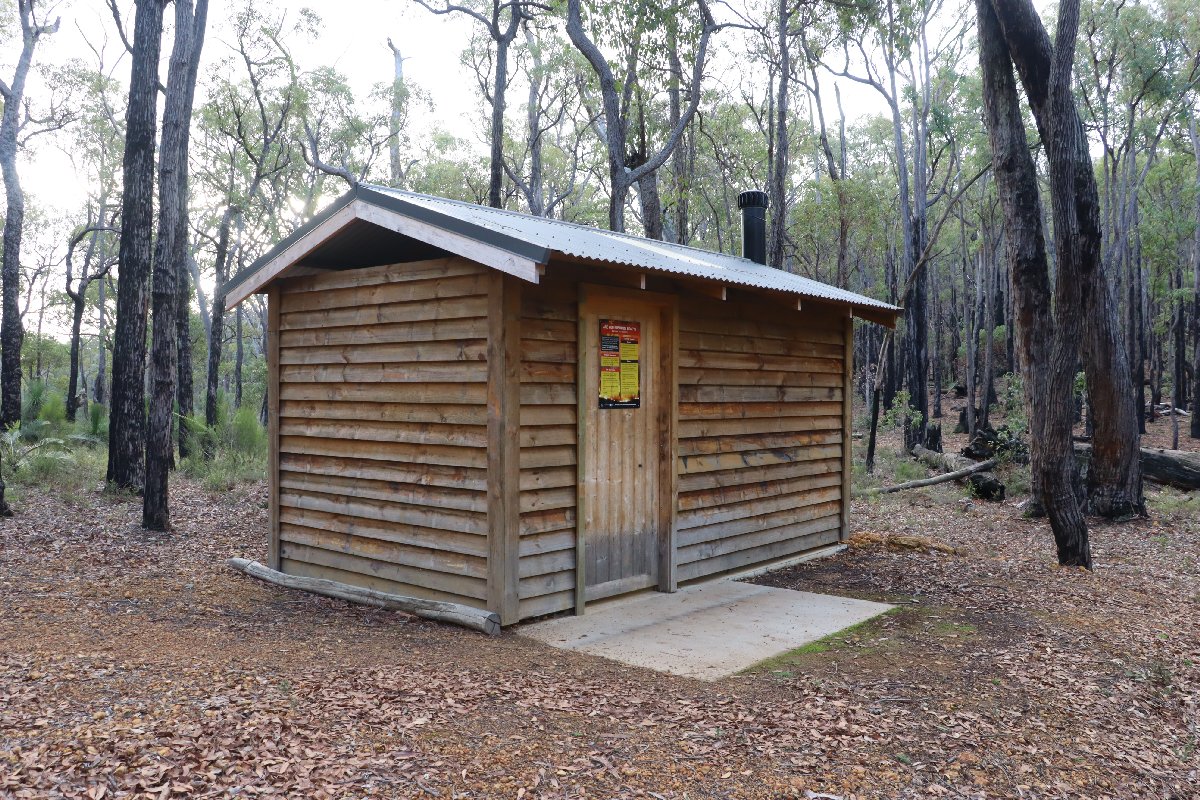
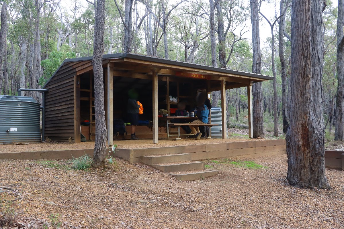
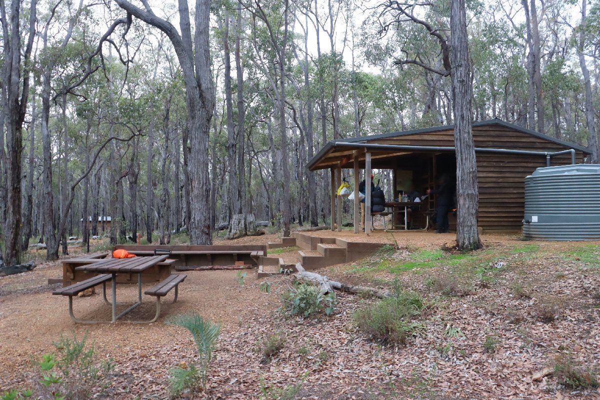
White Horse Hills
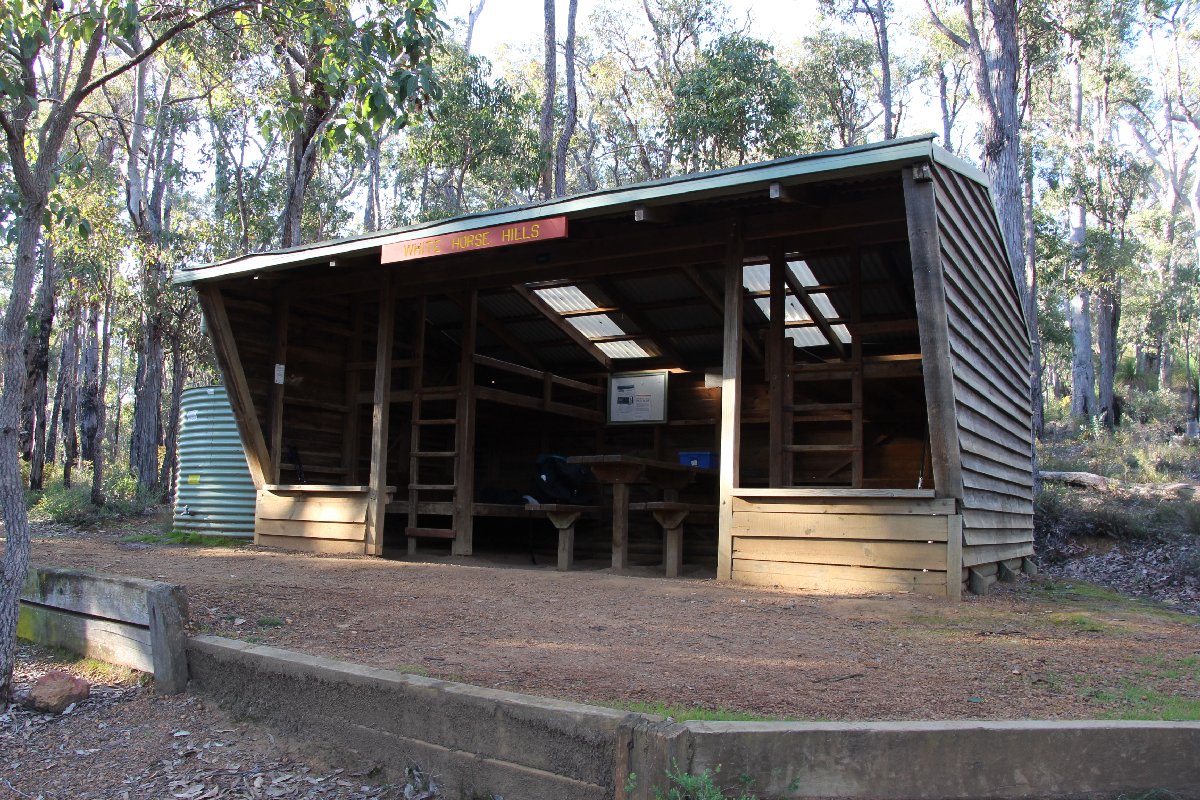
Hut #13 SOBO, Hut #37 NOBO. Configuration: Type 2 (Deep South). Distance from Gringer Creek: 16.2km. Distance to Mt Wells: 14.3km.
This hut was built as a Type 1A but has been converted to a Type 2.
White Horse Hills Hut
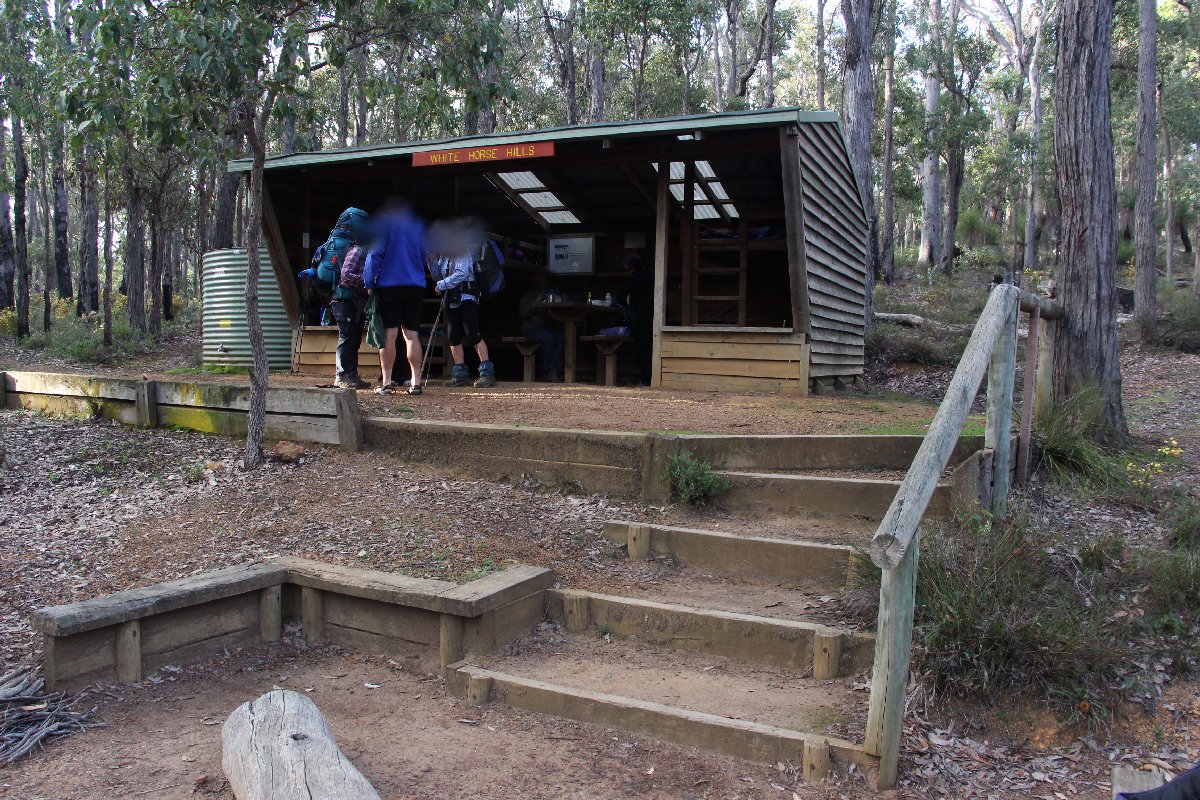
White Horse Hills Hut
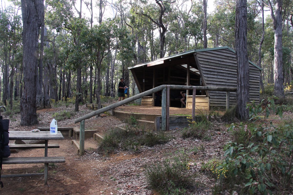
White Horse Hills Hut
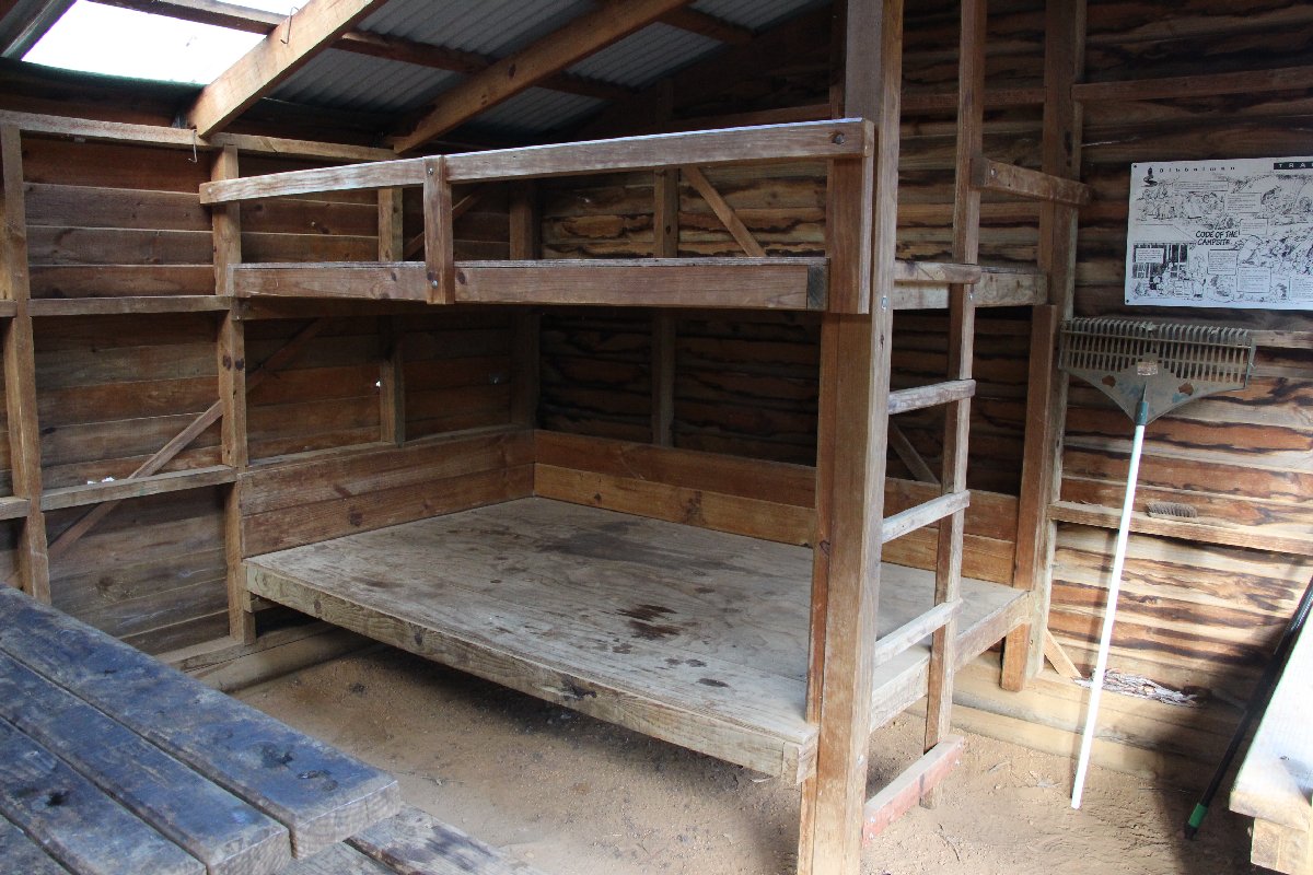
White Horse Hills Hut
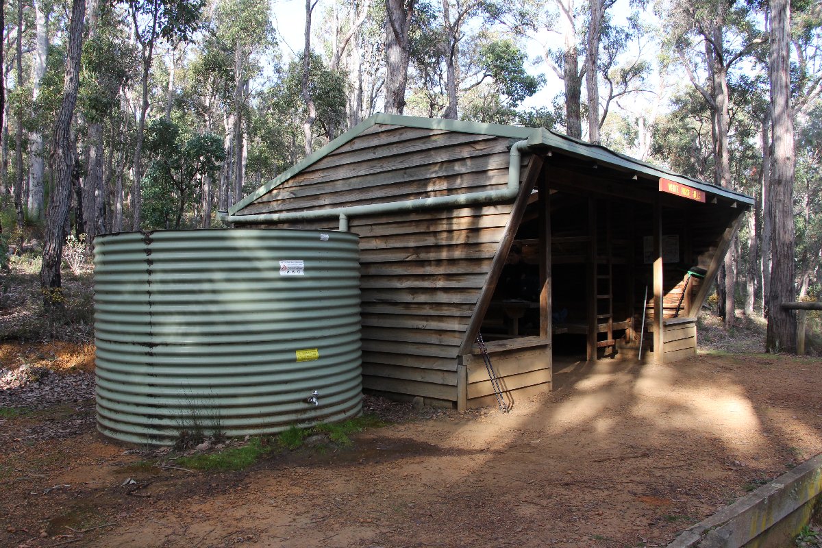
White Horse Hills Hut
White Horse Hills Hut
White Horse Hills Hut
White Horse Hills Hut
White Horse Hills Hut
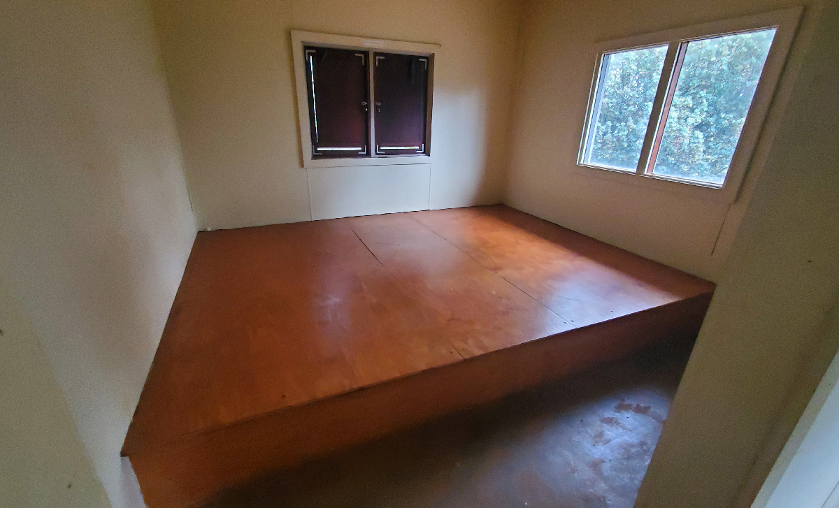
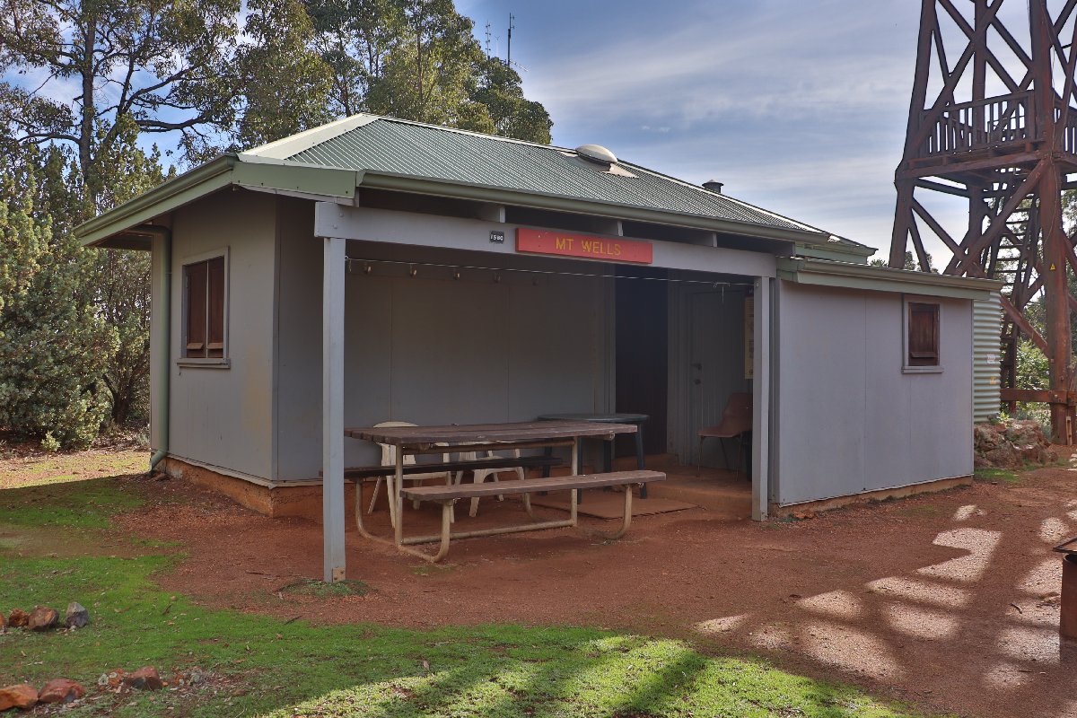
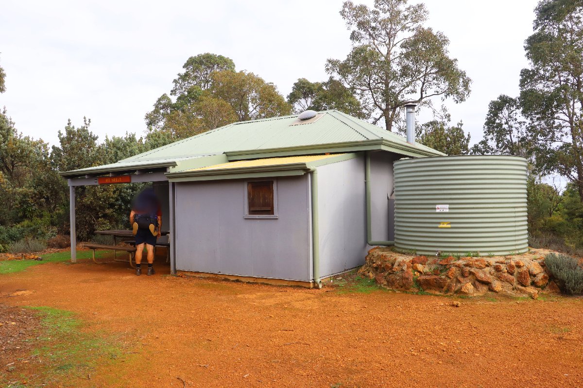
Mt Wells
Hut #14 SOBO, Hut #36 NOBO. Configuration: Other. Distance from White Horse Hills: 14.3km. Distance to Chadoora: 15.0km.
This hut is actually the former accommodation of the persons that manned the fire tower at Mt Wells. The tower has long been out of use as a fire spotting tower. There is a lookout platform built about halfway up the old tower.
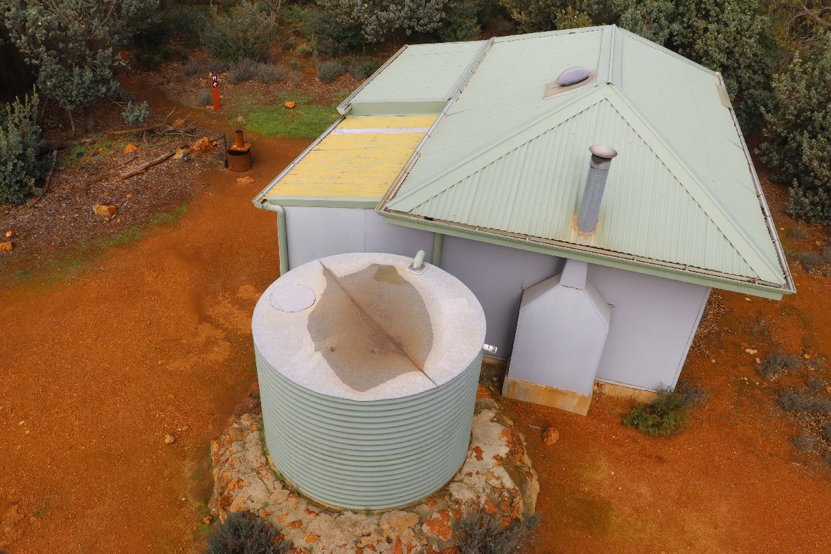
Mt Wells Hut
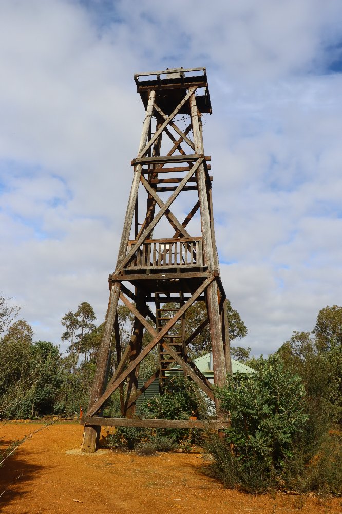
Mt Wells Hut
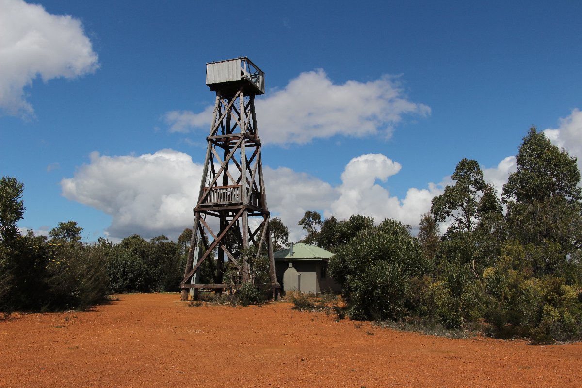
Mt Wells Hut
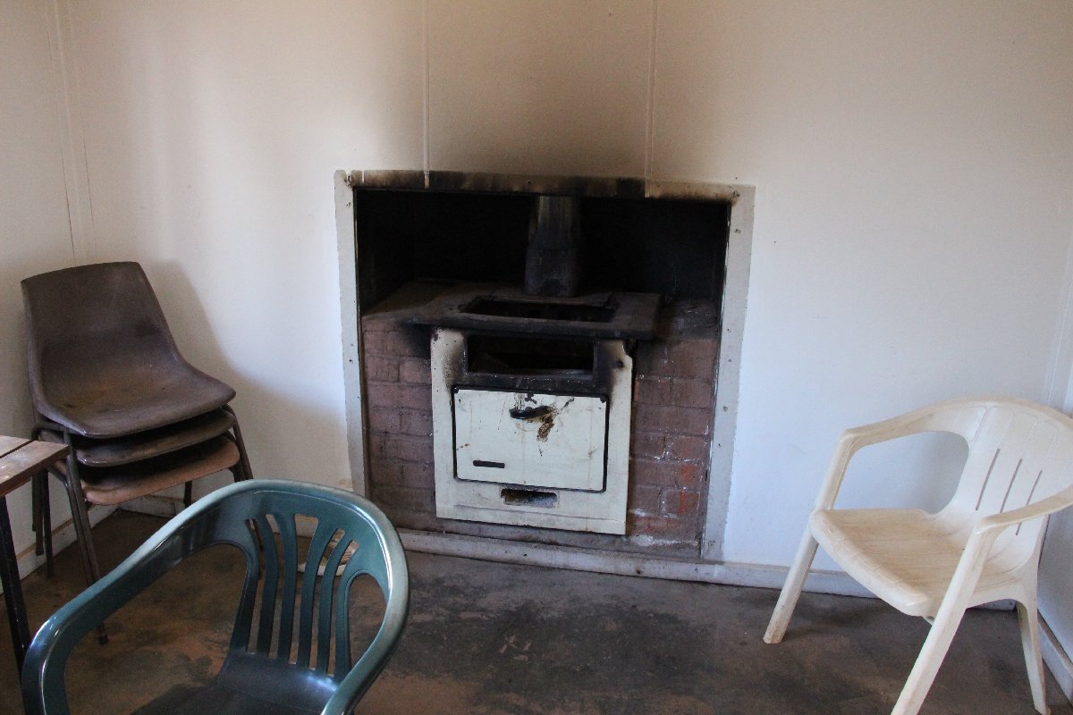
Mt Wells Hut
Mt Wells Hut
Mt Wells Hut
Mt Wells Hut
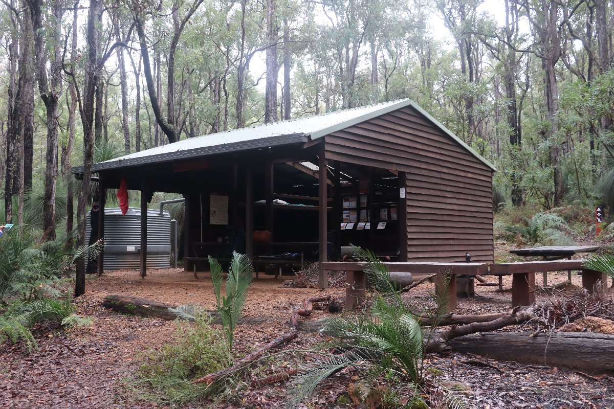
Chadoora
Hut #15 SOBO, Hut #35 NOBO. Configuration: Type 2 (Deep South). Distance from Mt Wells: 15.0km. Distance to Dwellingup: 20.6km.
This hut is located close to the start of the Nyingarn Bidi loop trail which connects the Bibbulmun Track between Chadoora and Swamp Oak huts. This enables a ~50km loop from Dwellingup - Chaddora - Swamp Oak - Dwellingup.
Chadoora Hut
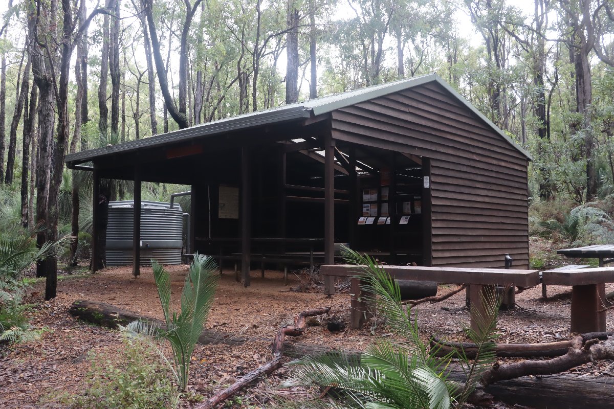
Chadoora Hut
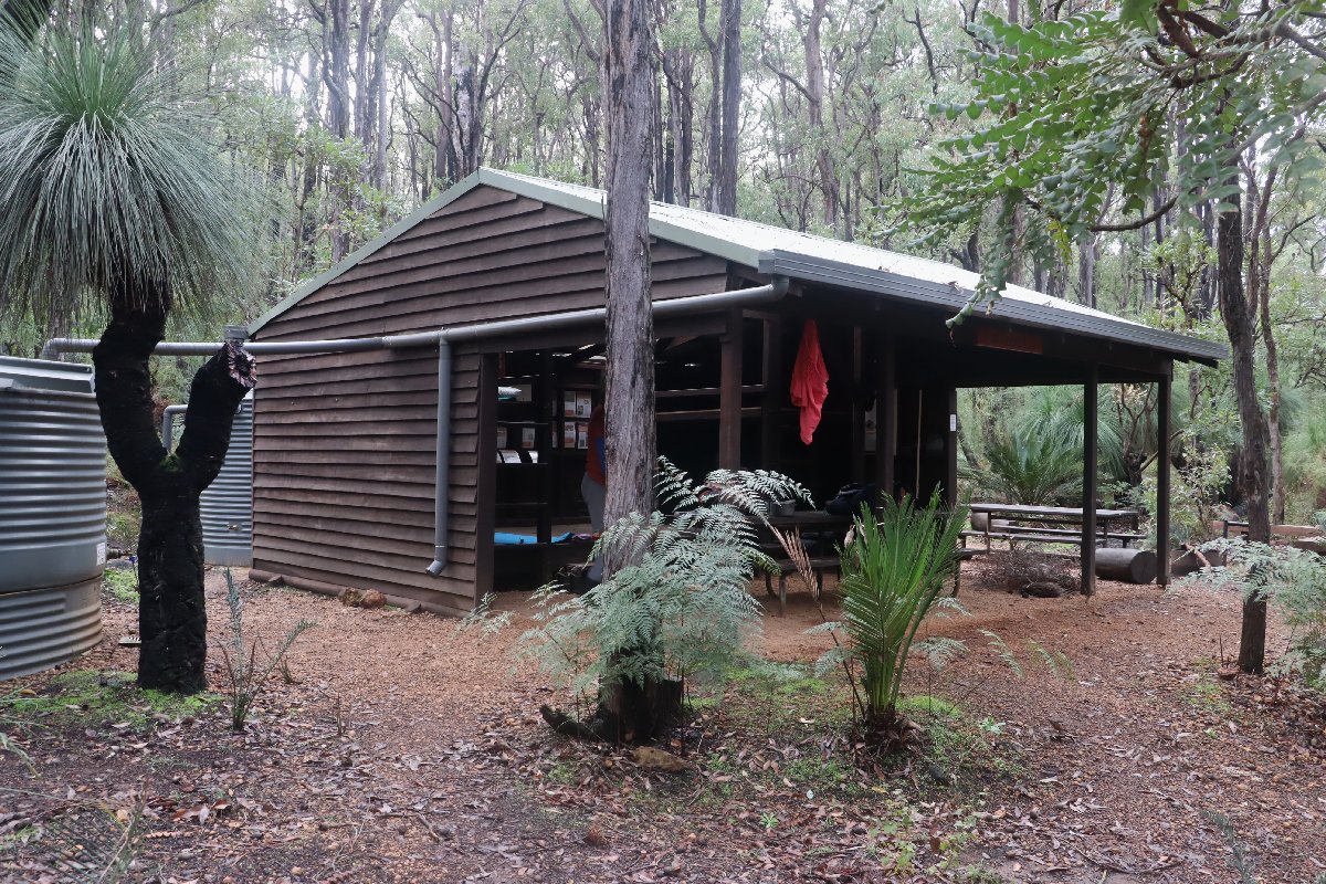
Chadoora Hut
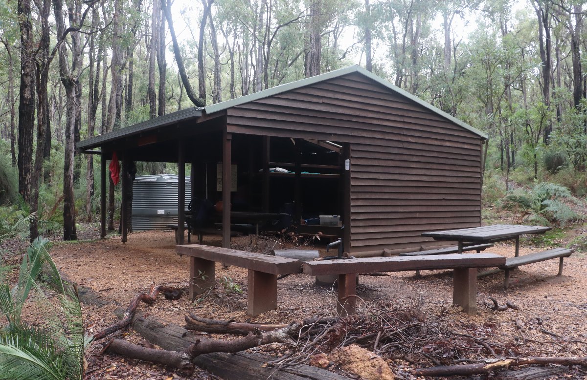
Chadoora Hut
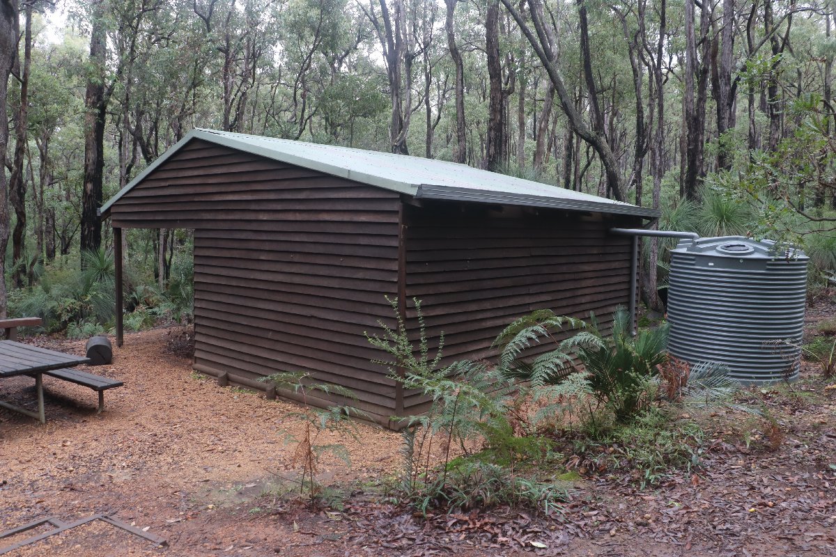
Chadoora Hut
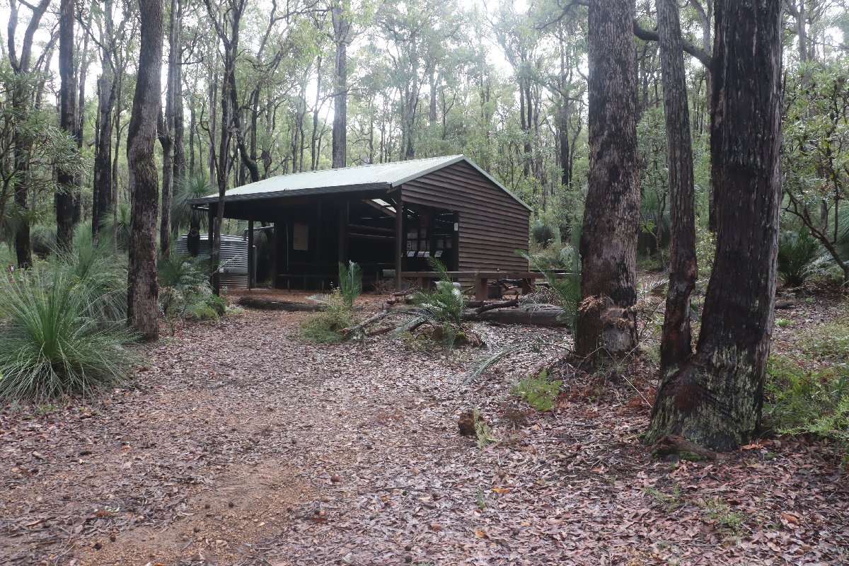
Chadoora Hut
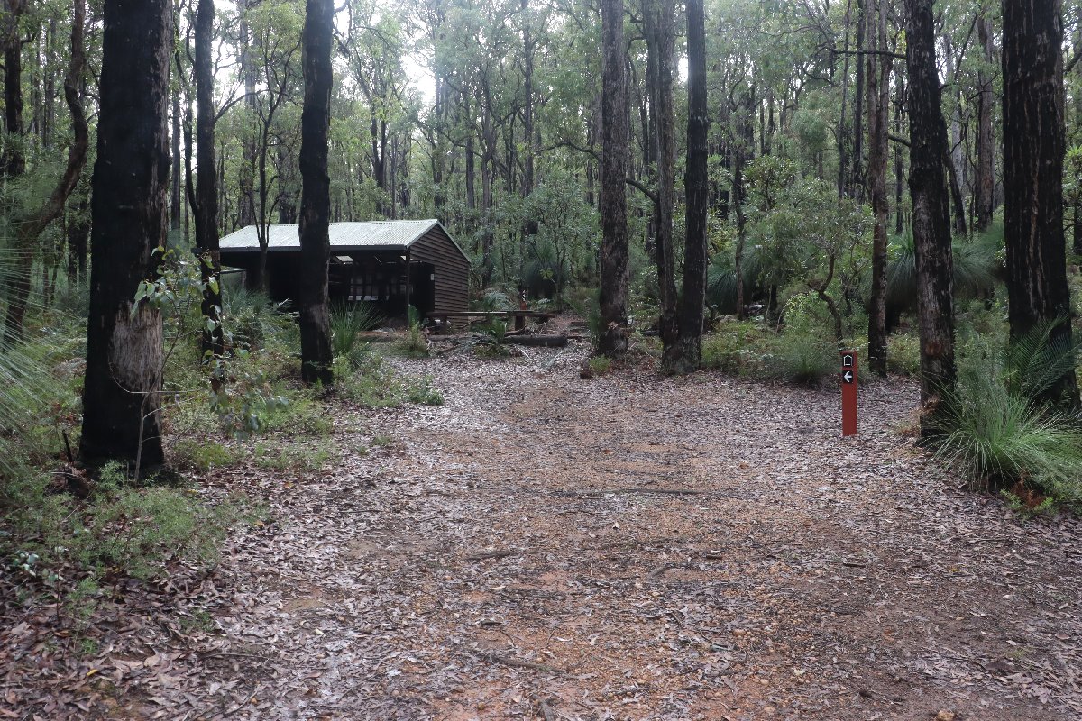
Chadoora Hut
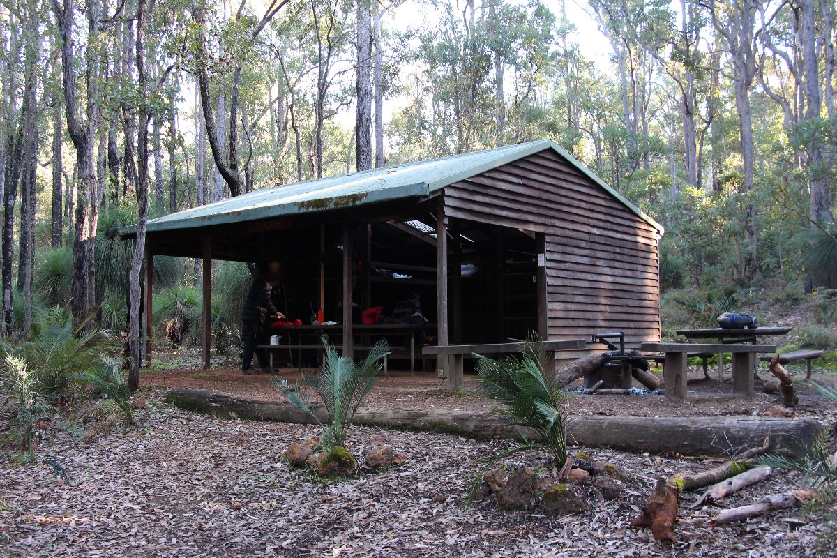
Chadoora Hut
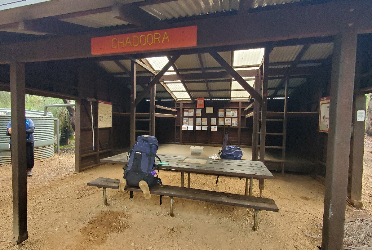
Chadoora Hut
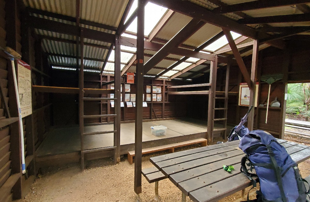
Chadoora Hut
Swamp Oak
Hut #16 SOBO, Hut #34 NOBO. Configuration: Type 2 (Deep South). Distance from Dwellingup: 13.3km. Distance to Murray: 19.2km.
This hut is located close to the end of the Nyingarn Bidi loop trail which connects the Bibbulmun Track between Chadoora and Swamp Oak huts. This enables a ~50km loop from Dwellingup - Chaddora - Swamp Oak - Dwellingup. This hut was constructed as a Type 1B (Stretch). It has been converted to a Type 2.
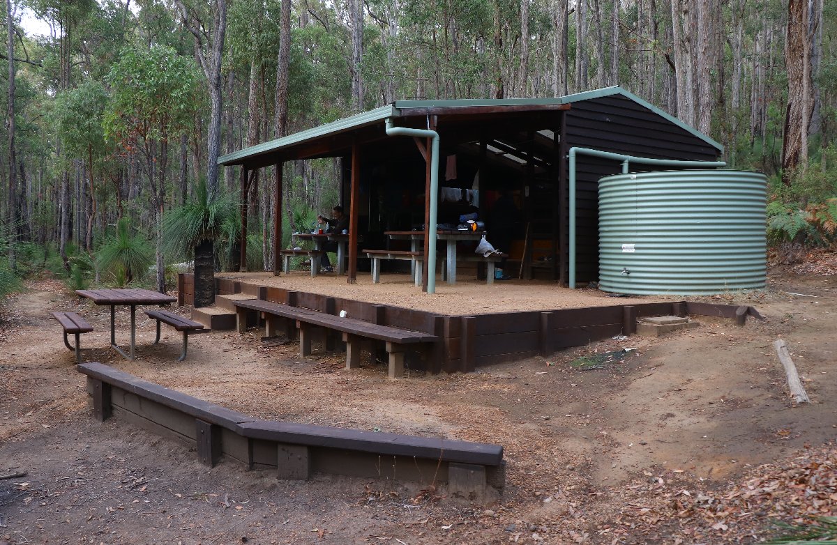
Swamp Oak Hut
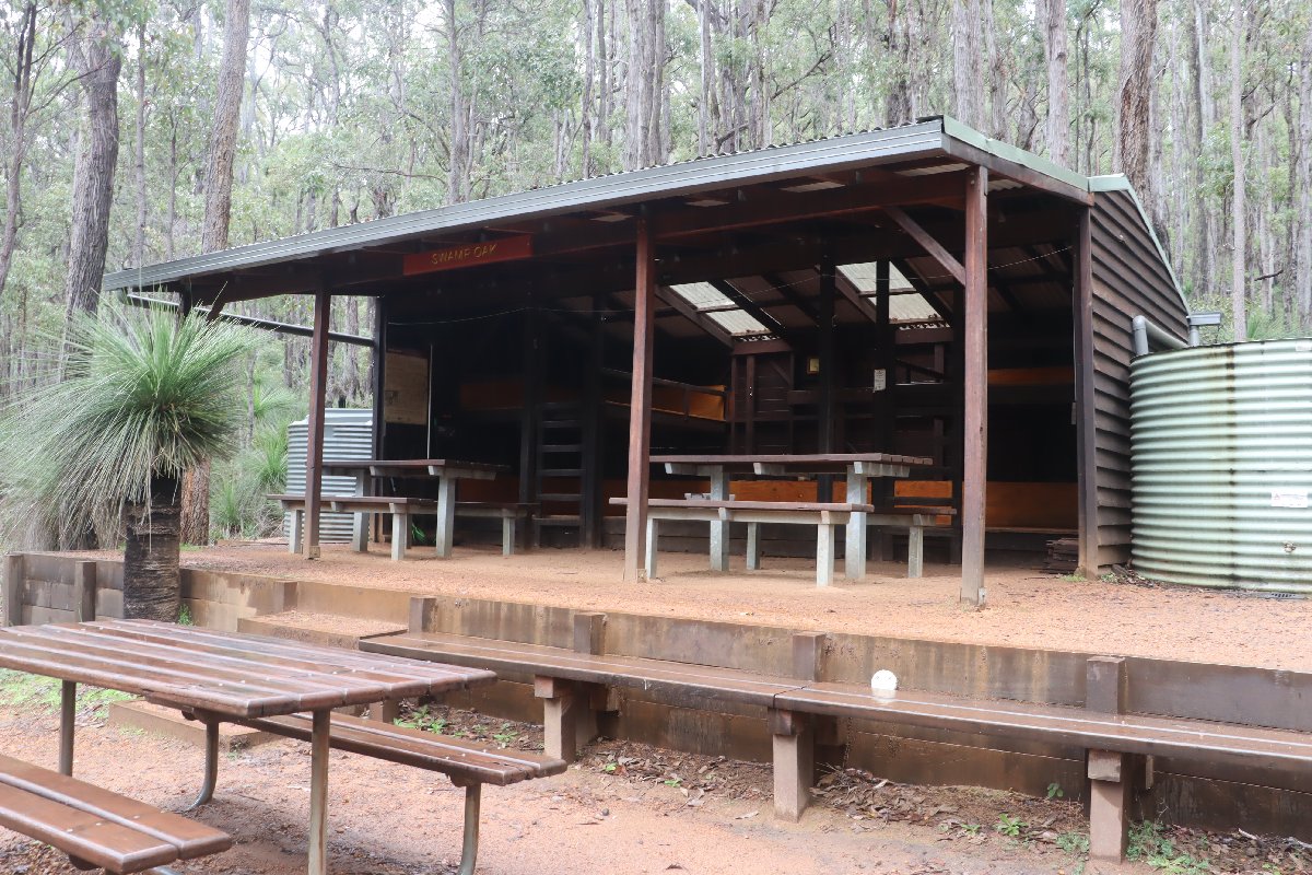
Swamp Oak Hut
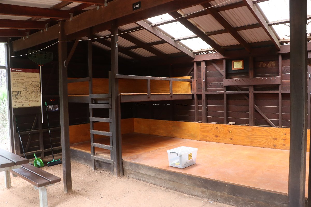
Swamp Oak Hut
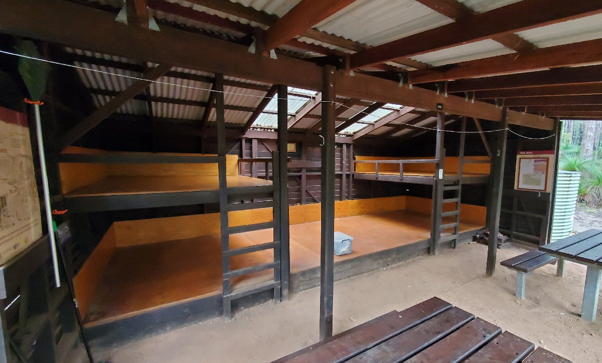
Swamp Oak Hut
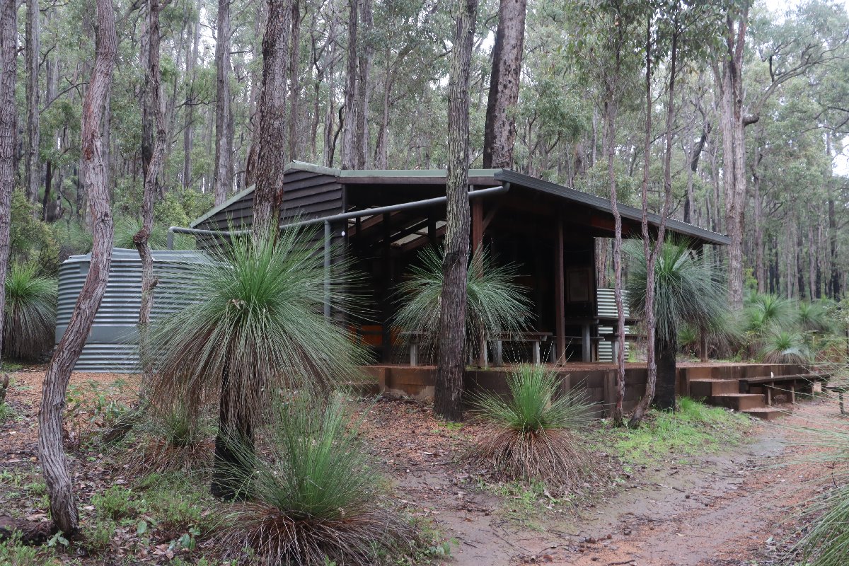
Swamp Oak Hut
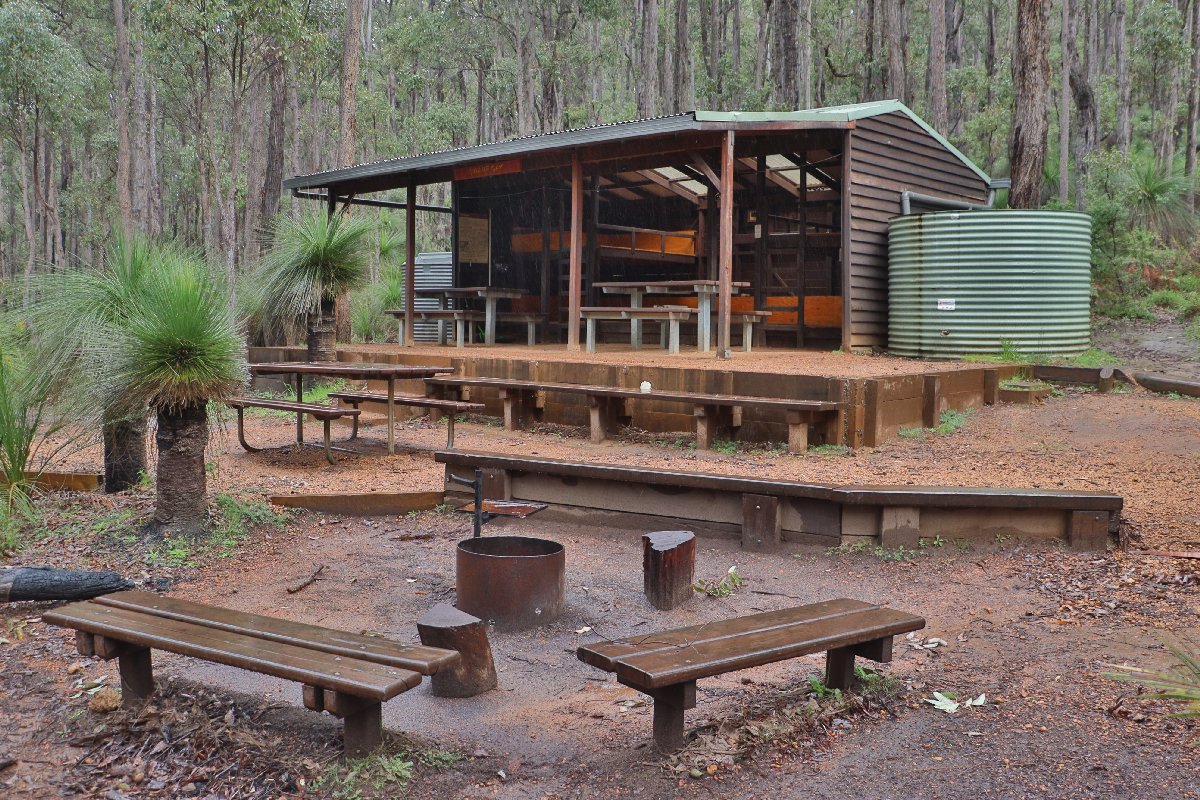
Swamp Oak Hut
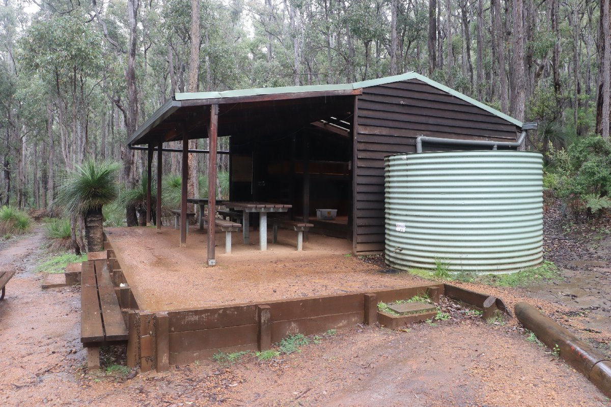
Swamp Oak Hut
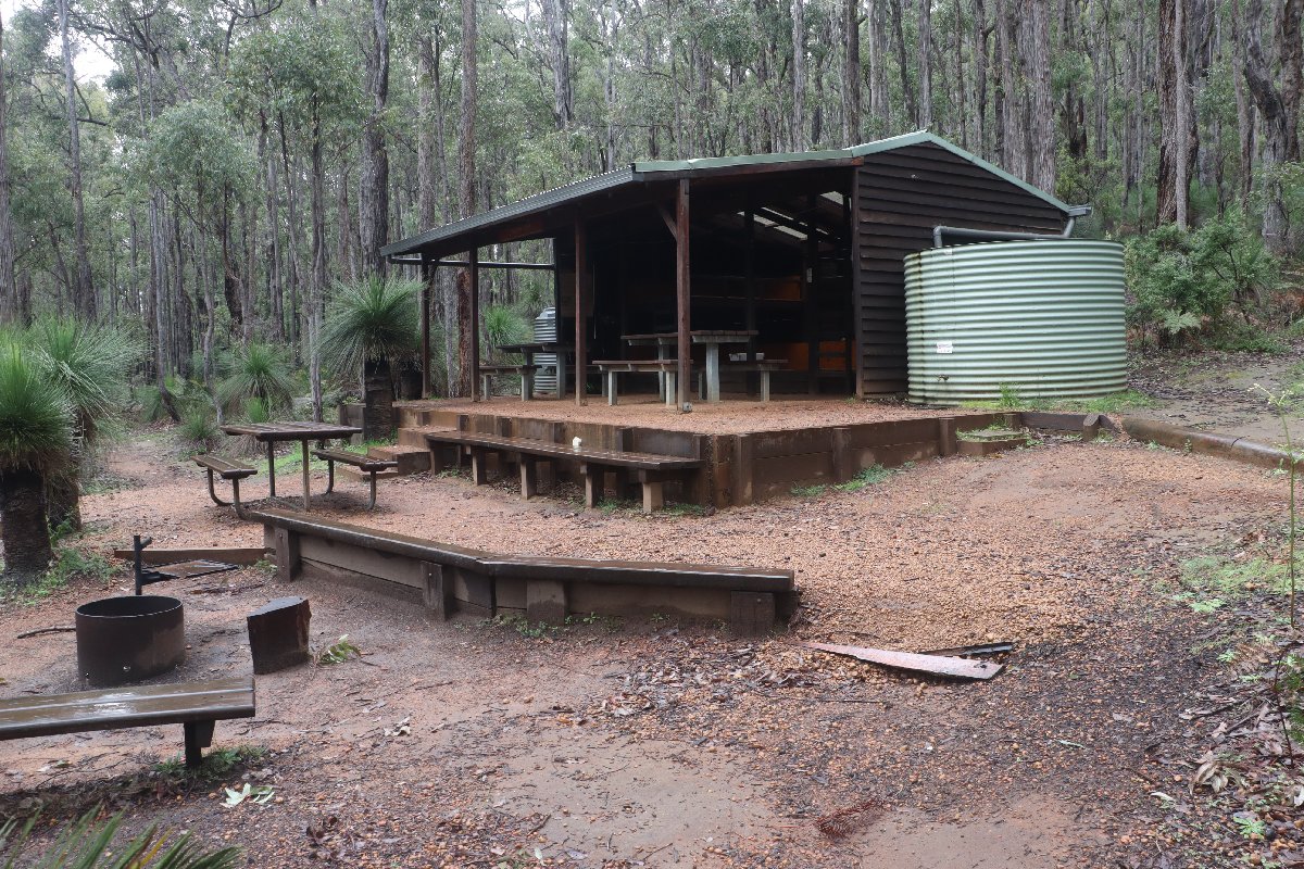
Swamp Oak Hut
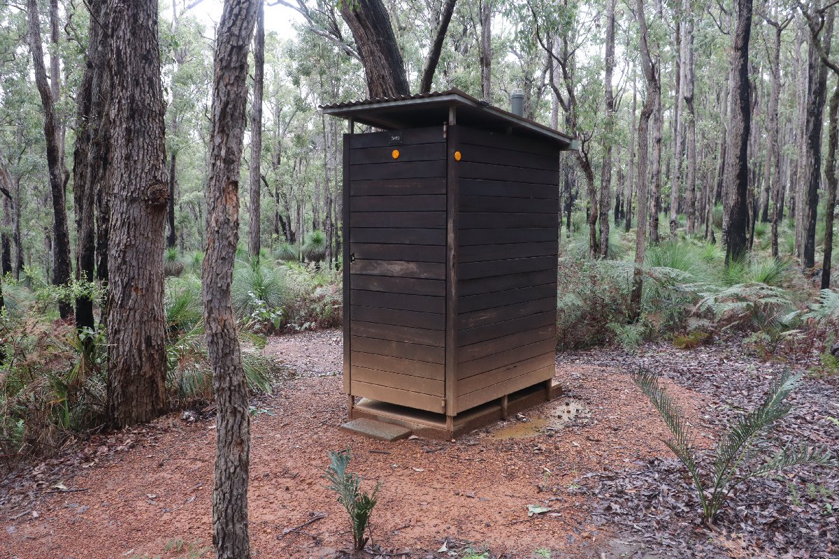
Swamp Oak Hut
Murray
Hut #17 SOBO, Hut #33 NOBO. Configuration: Type 2 (Deep South). Distance from Swamp Oak: 19.2km. Distance to Dookanelly: 17.8km.
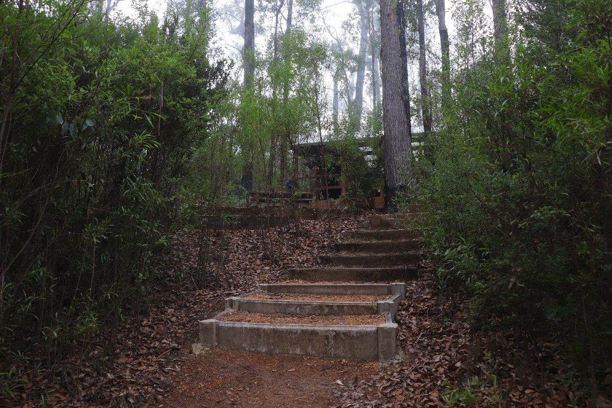
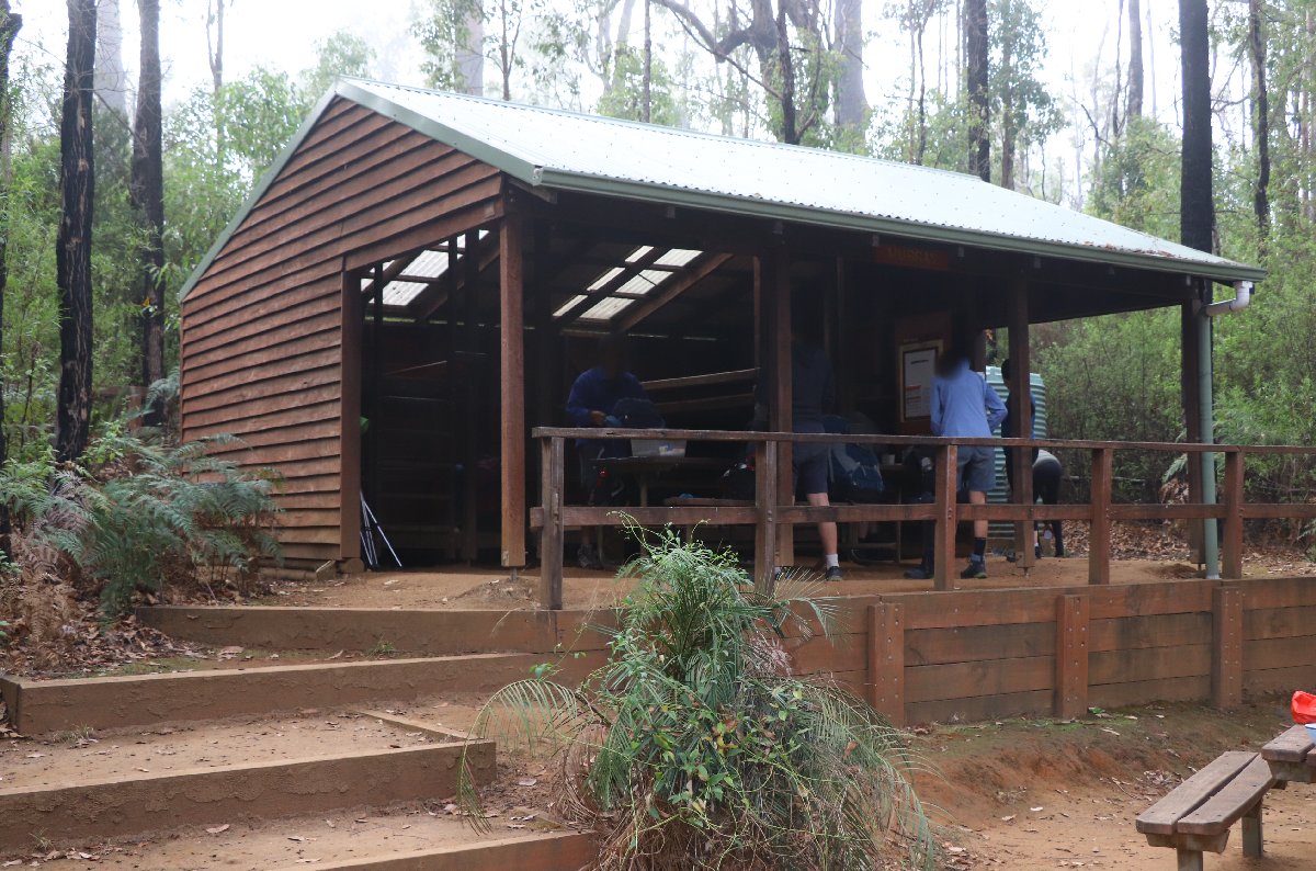
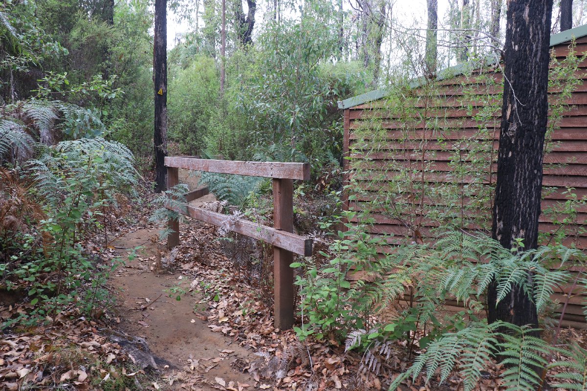
Murray is located on the bank of the Murray River, giving hikers the opportunity to go for a swim or just to soak their tired feet.
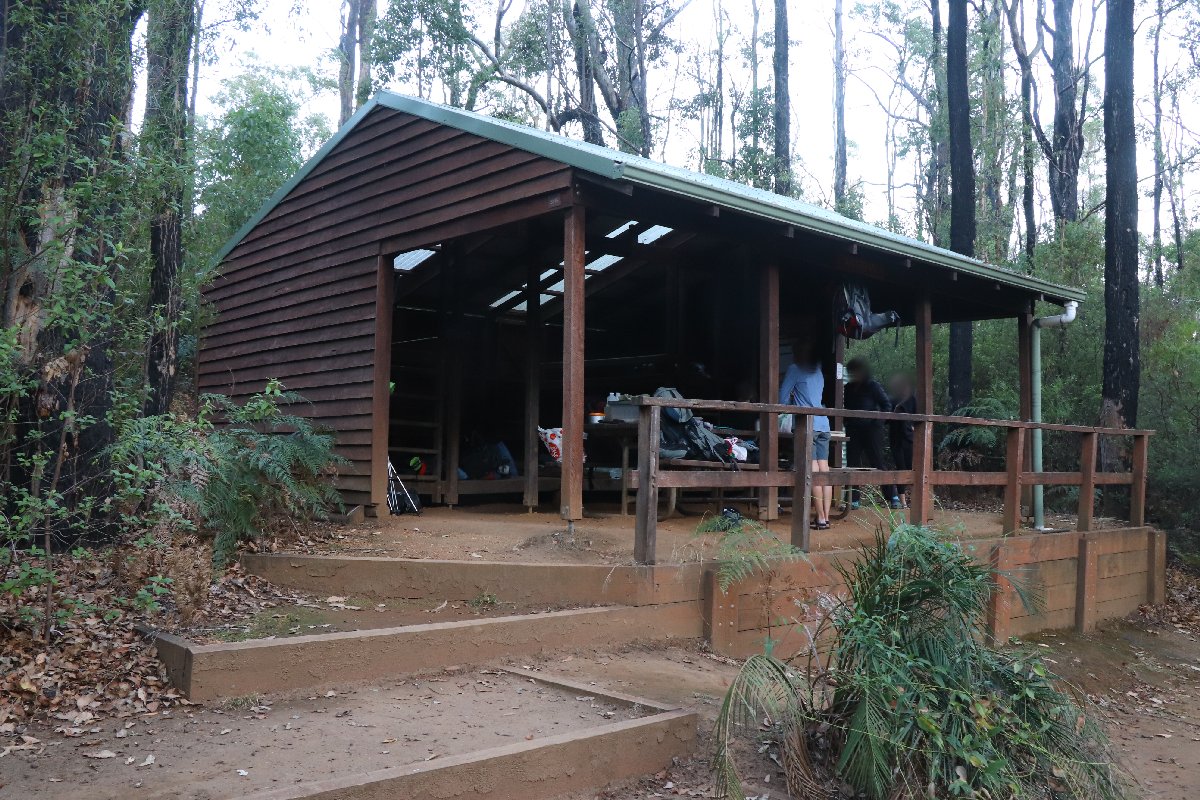
Murray Hut
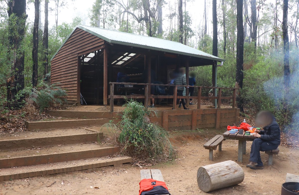
Murray Hut
Murray Hut
Murray Hut
Murray Hut
Murray Hut
Dookanelly
Hut #18 SOBO, Hut #32 NOBO. Configuration: Type 2 (Deep South). Distance from Murray: 17.8km. Distance to Possum Springs: 21.7km.
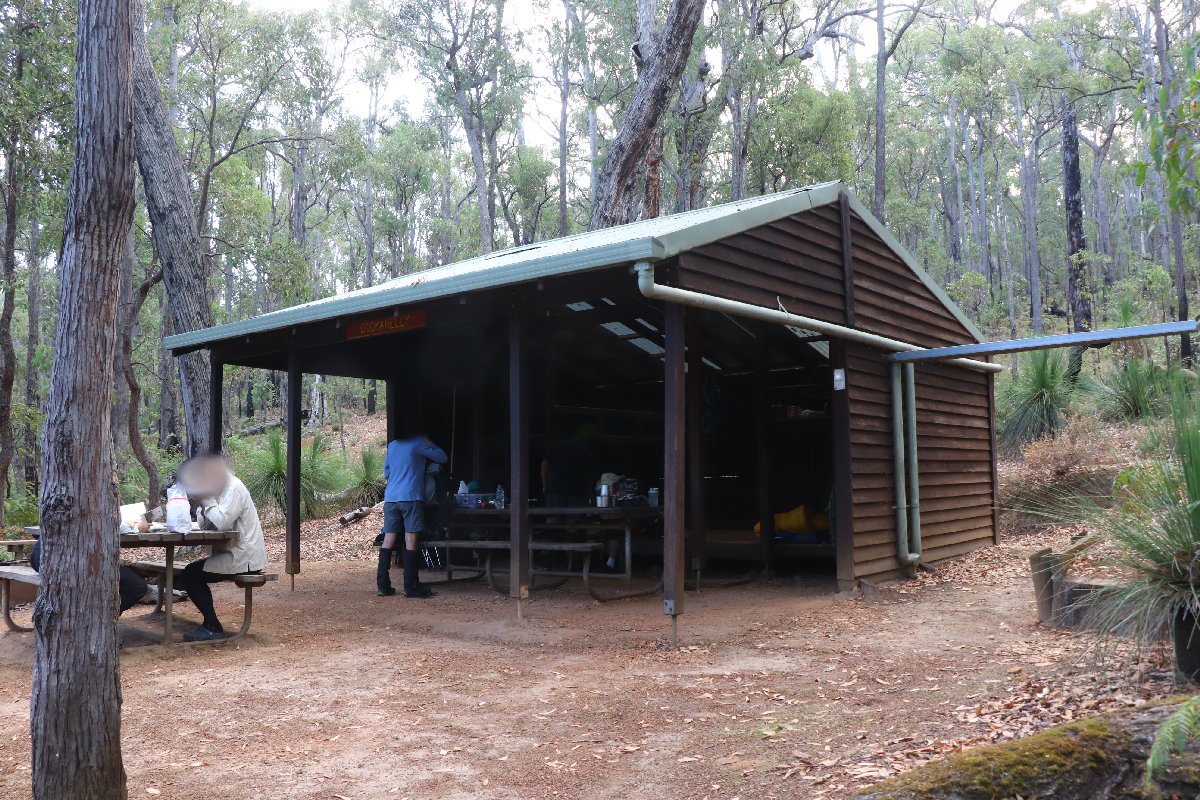
Dookanelly Hut
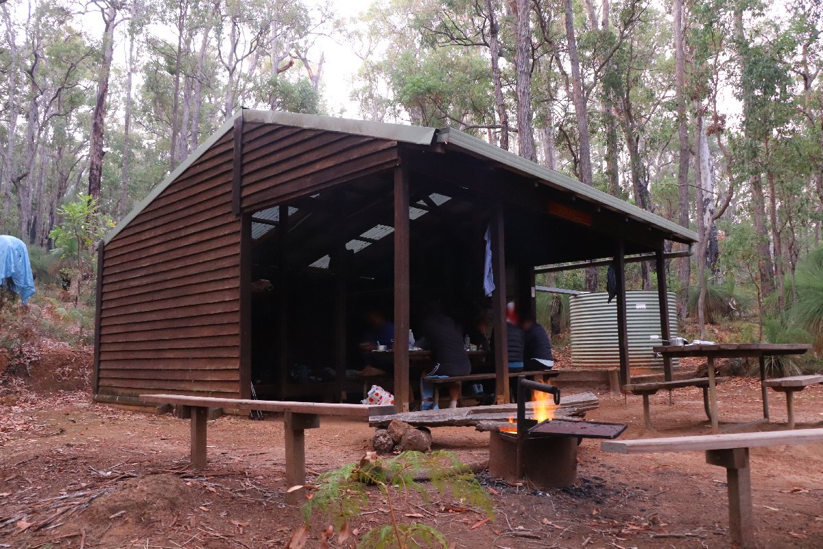
Dookanelly Hut
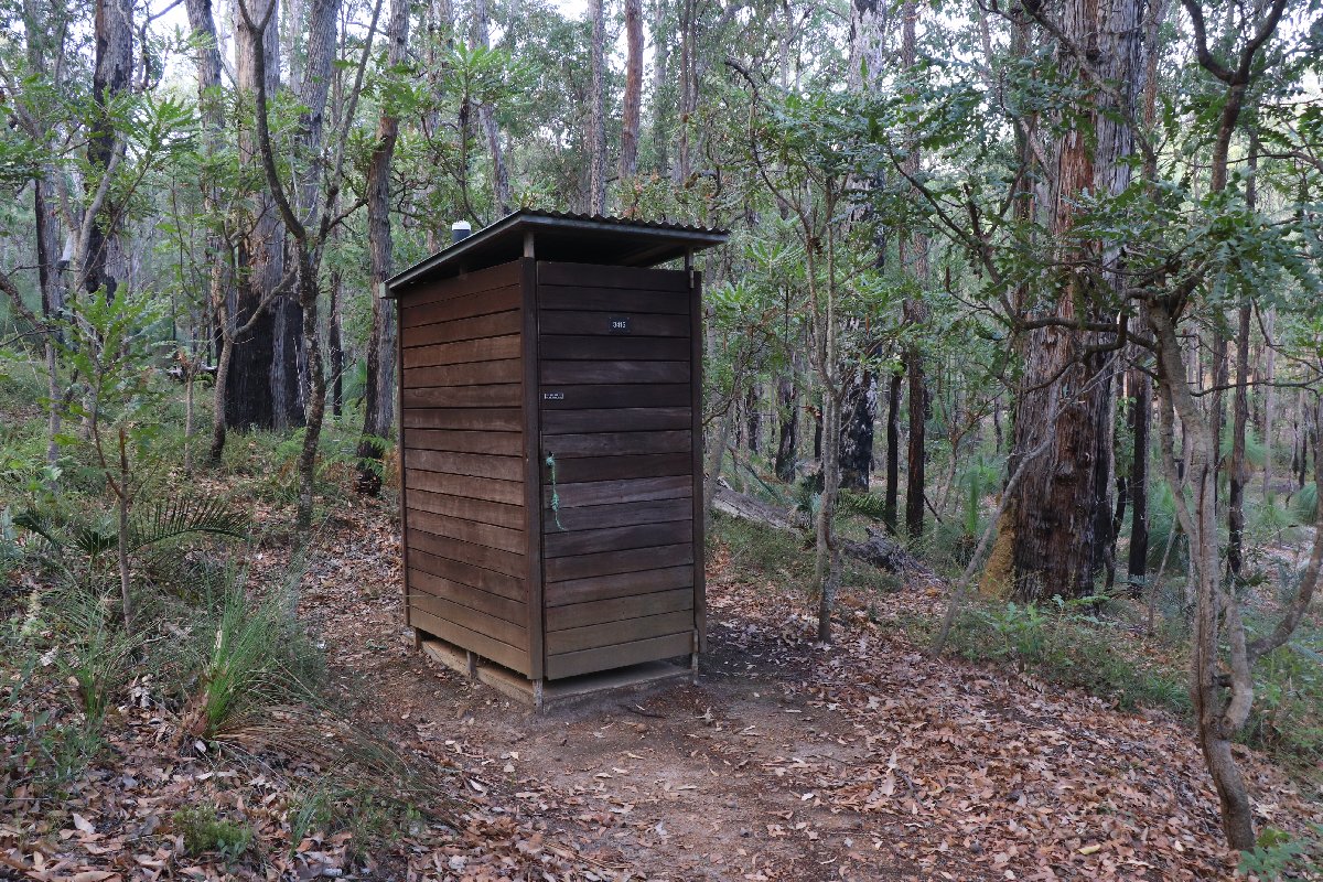
Dookanelly Hut
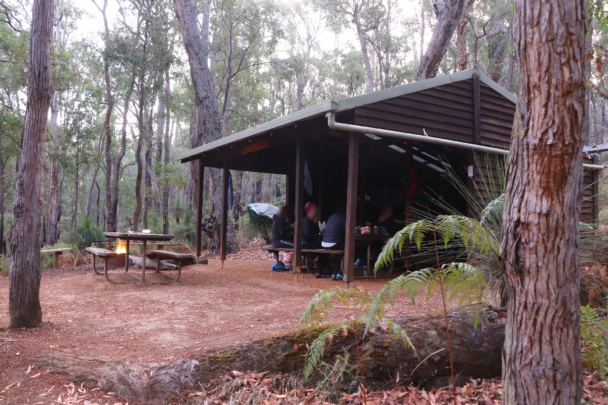
Dookanelly Hut
Possum Springs
Hut #19 SOBO, Hut #31 NOBO. Configuration: Rammed earth Type 3 (Nornalup). Distance from Dookanelly: 21.7km. Distance to Yourdamung: 19.3km.
This hut was destroyed by a bushfire in February 2015. The original hut was a Type 1B (Stretch).
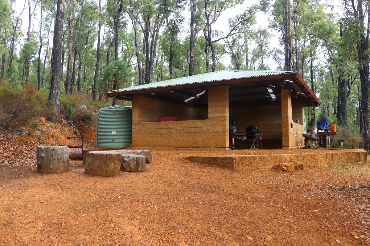
Possum Springs Hut
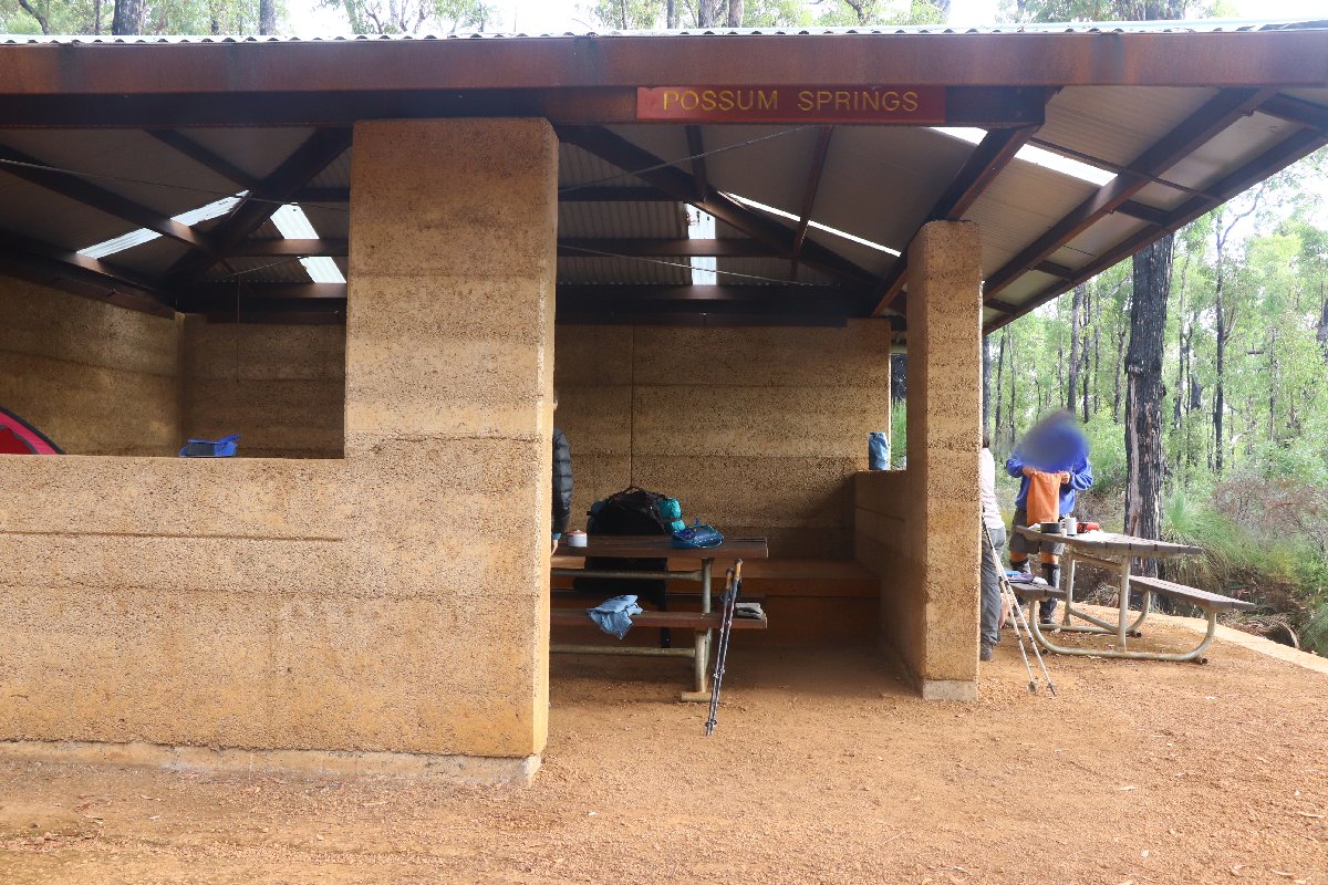
Possum Springs Hut
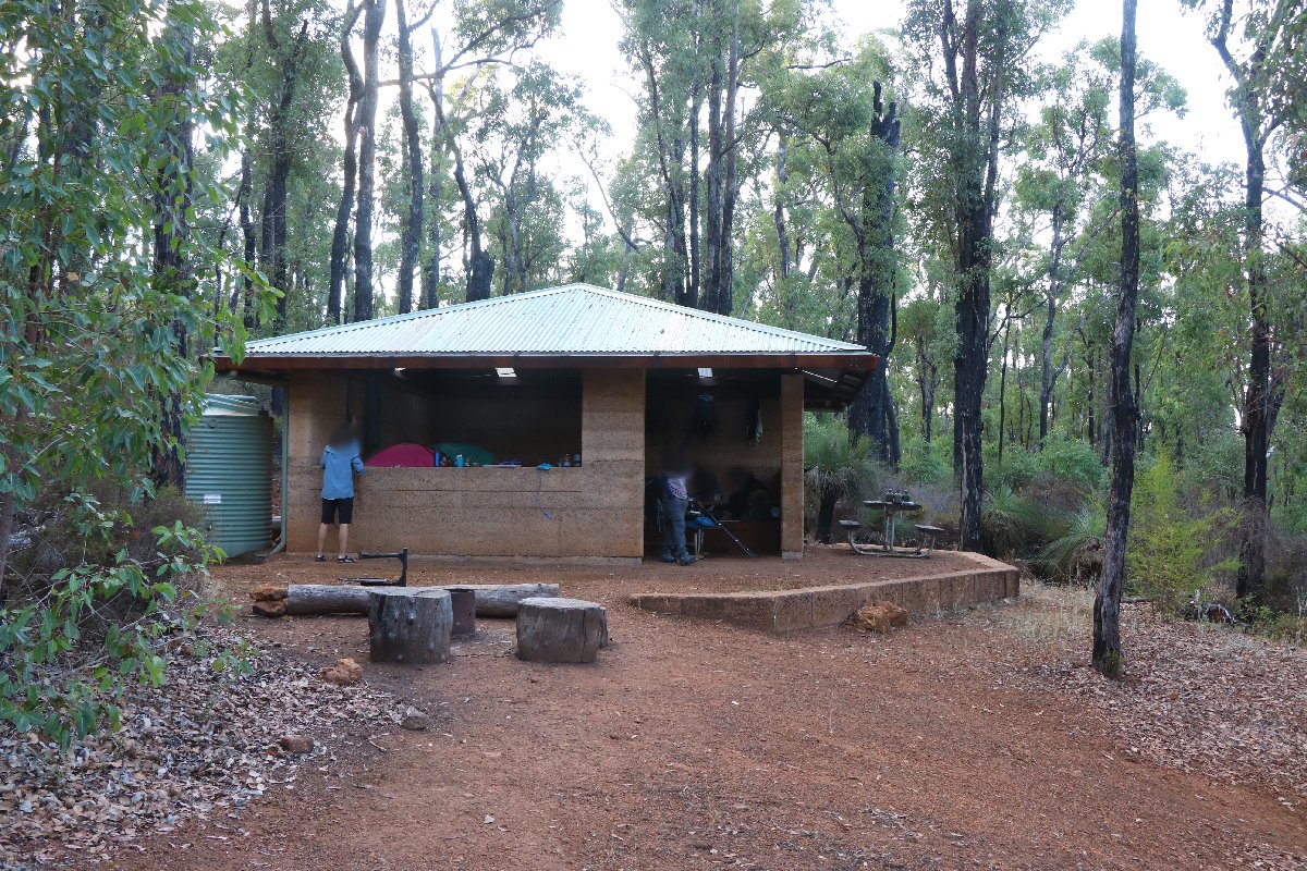
Possum Springs Hut
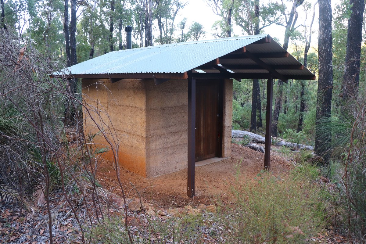
Possum Springs Hut
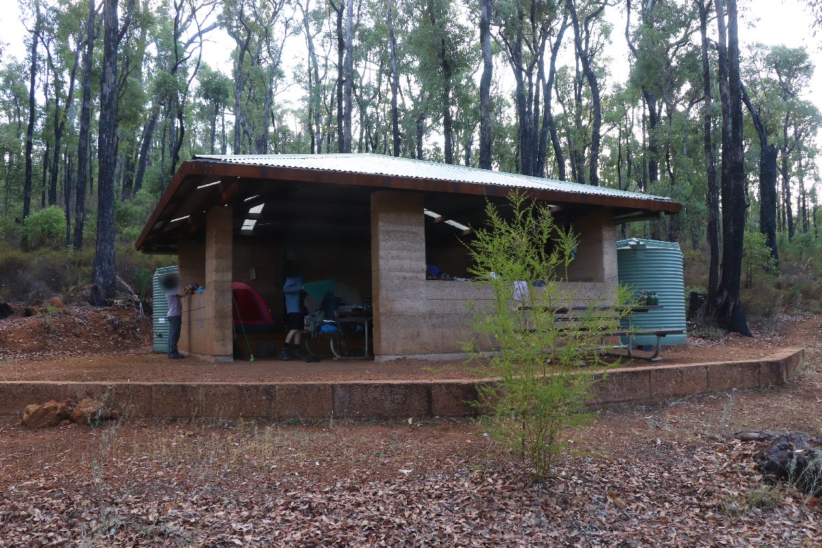
Possum Springs Hut
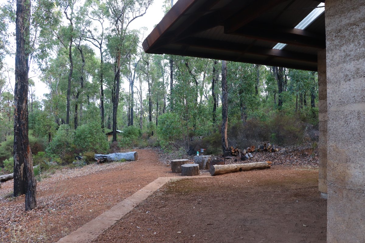
Possum Springs Hut
Yourdamung
Hut #20 SOBO, Hut #30 NOBO. Configuration: Type 2 (Deep South). Distance from Possum Springs: 19.3km. Distance to Harris Dam: 14.3km.
This hut was built as a Type 1A (Standard). It has been converted to a Type 2.
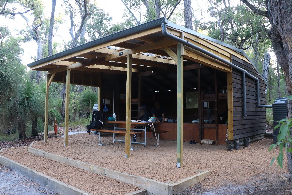
Yourdamung Hut
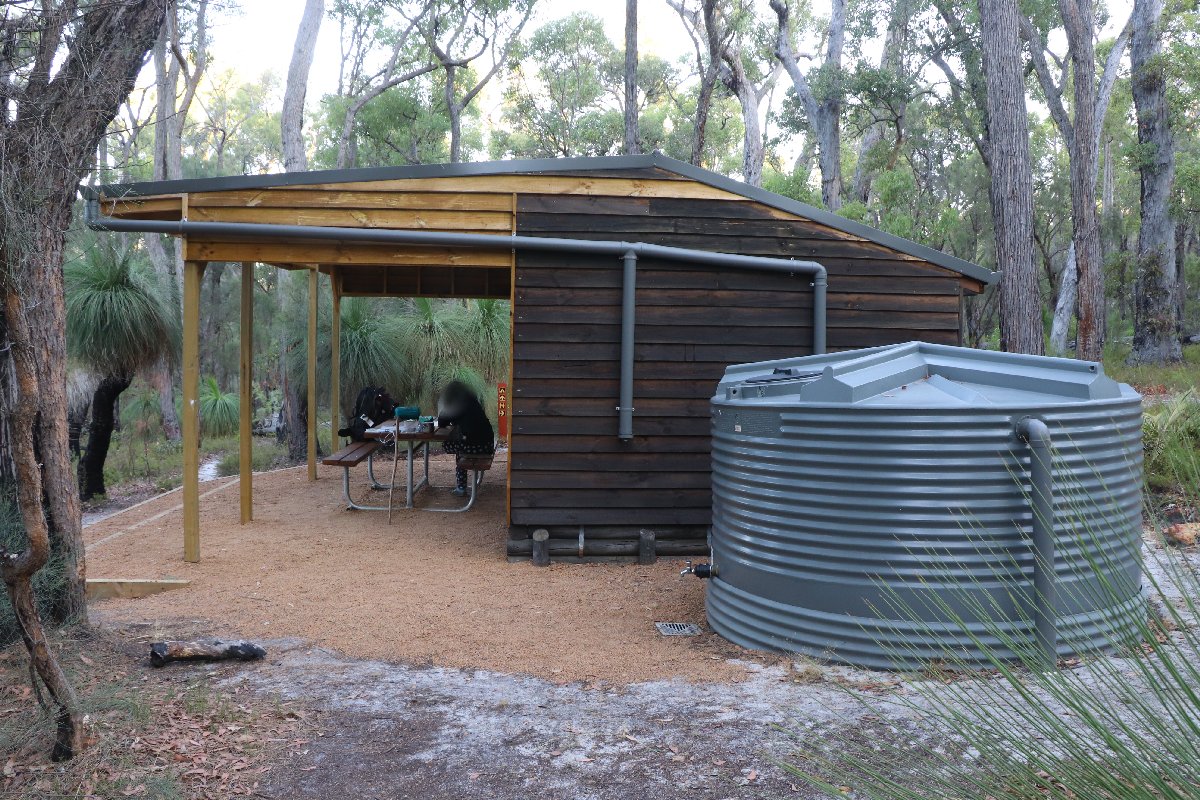
Yourdamung Hut
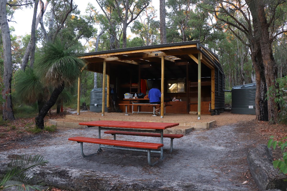
Yourdamung Hut
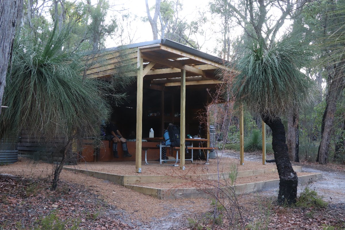
Yourdamung Hut
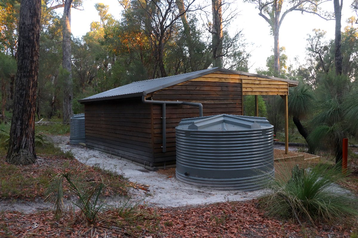
Yourdamung Hut
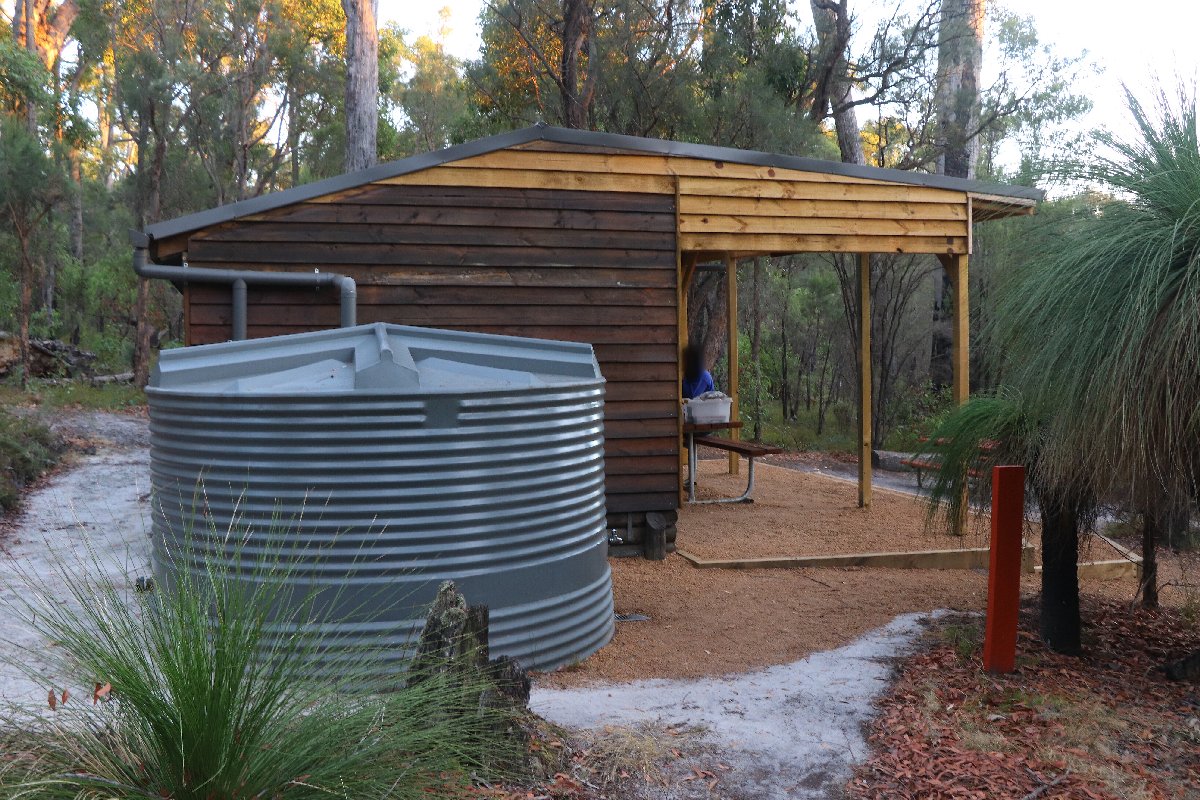
Yourdamung Hut
Harris Dam
Hut #21 SOBO, Hut #29 NOBO. Configuration: Type 2 (Deep South). Distance from Yourdamung: 14.3km. Distance to Collie: 22.3km.
This hut was built as a Type 1B (Stretch). It has been converted to a Type 2. I have not photographed this hut since the conversion.
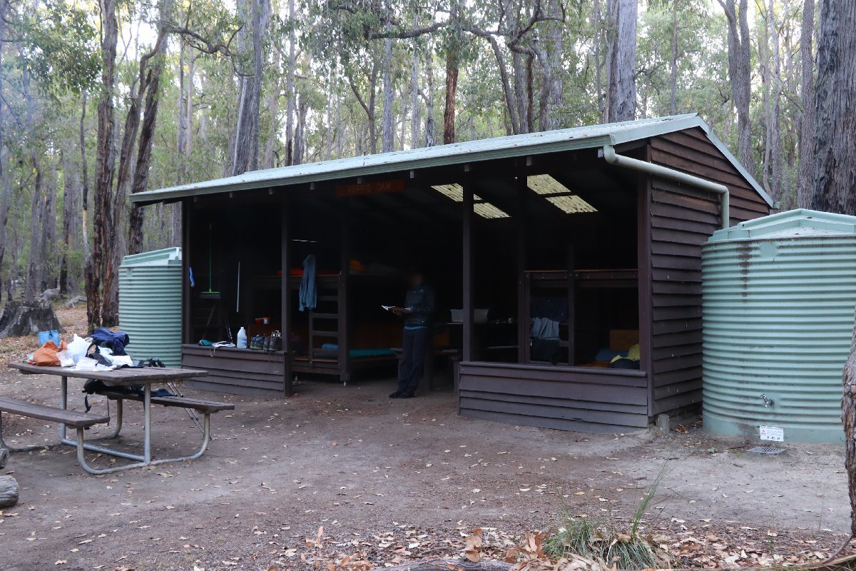
Harris Dam Hut
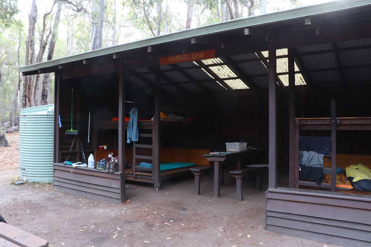
Harris Dam Hut
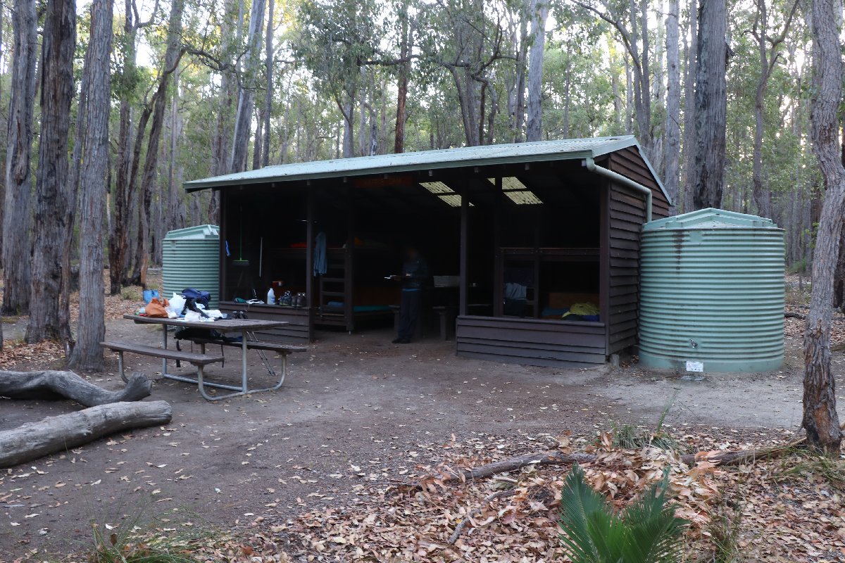
Harris Dam Hut
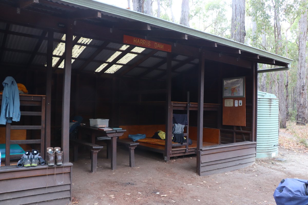
Harris Dam Hut
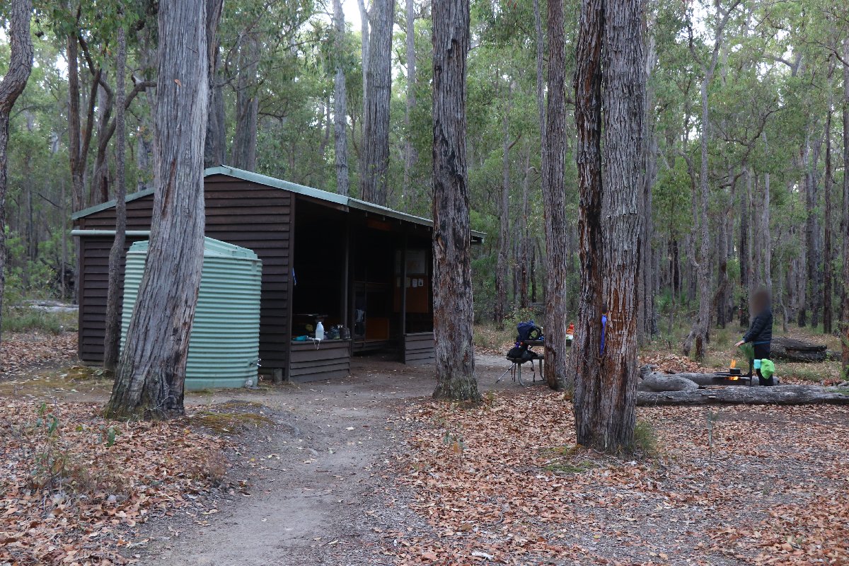
Harris Dam Hut
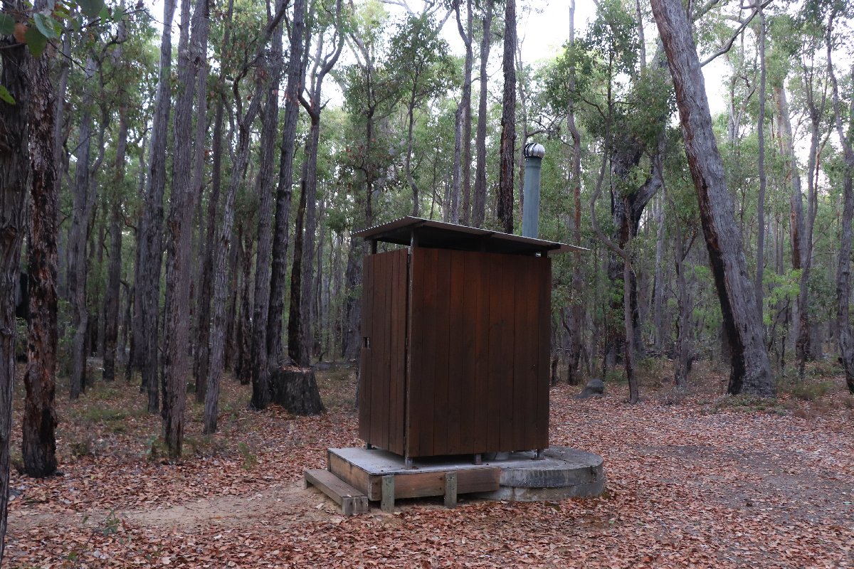
Harris Dam Hut
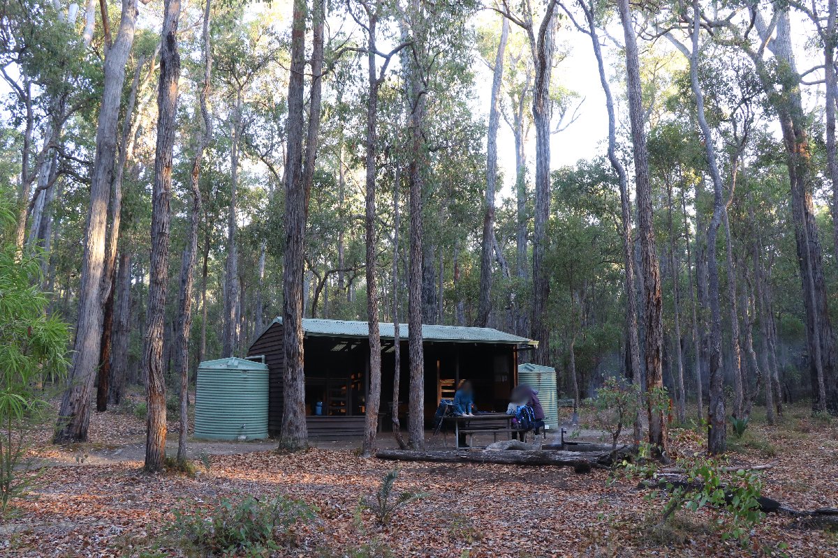
Harris Dam Hut
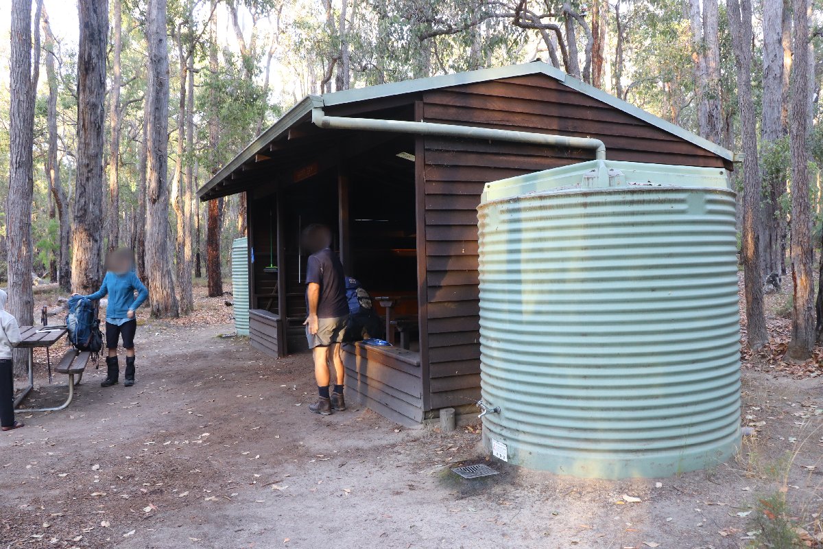
Harris Dam Hut
Yabberup
Hut #22 SOBO, Hut #28 NOBO. Configuration: Type 2 (Deep South). Distance from Collie: 11.3km. Distance to Noggerup: 20.1km.
This hut was built as a Type 1A (Standard). It has been converted to a Type 2.
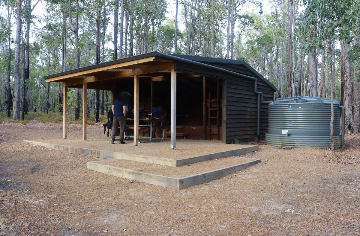
Yabberup Hut
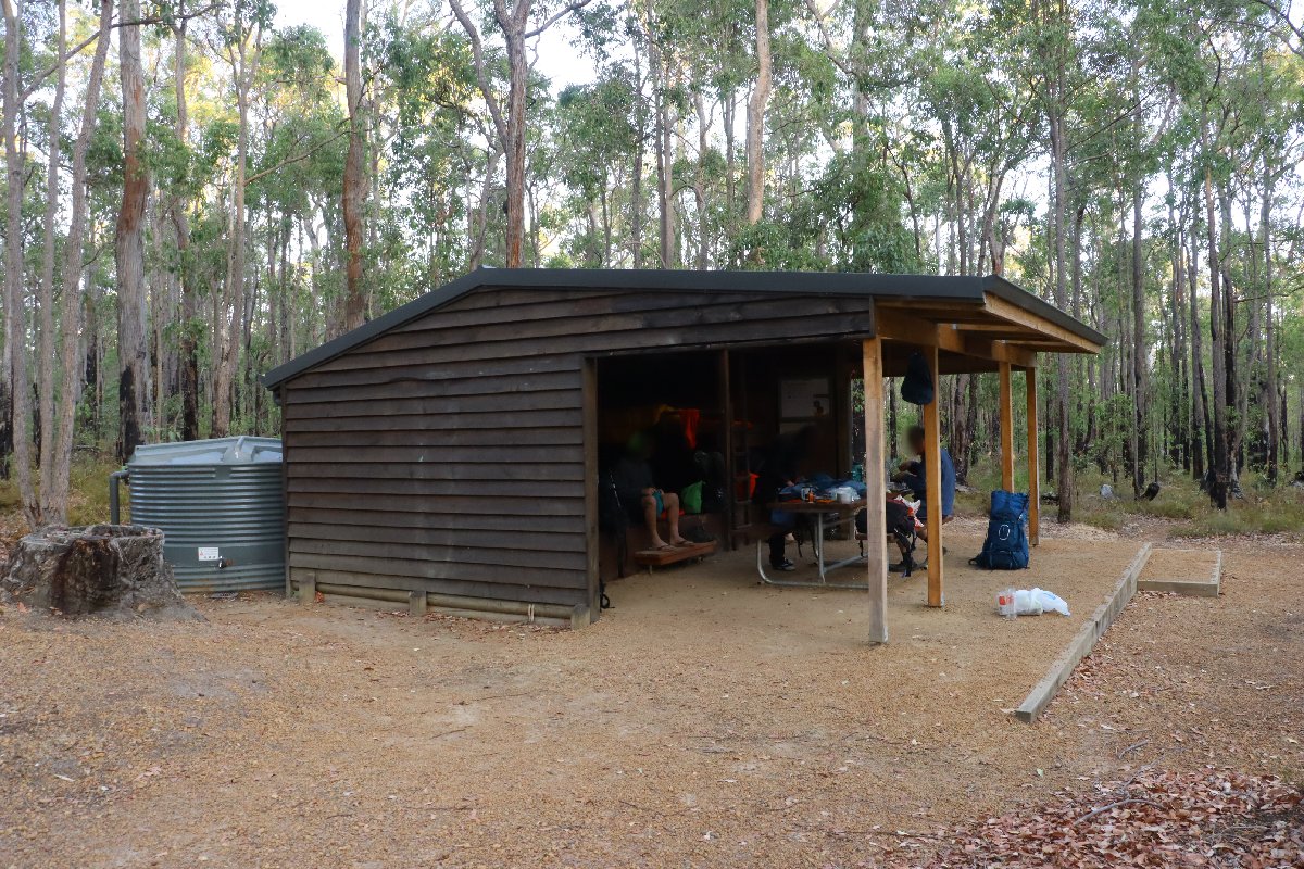
Yabberup Hut
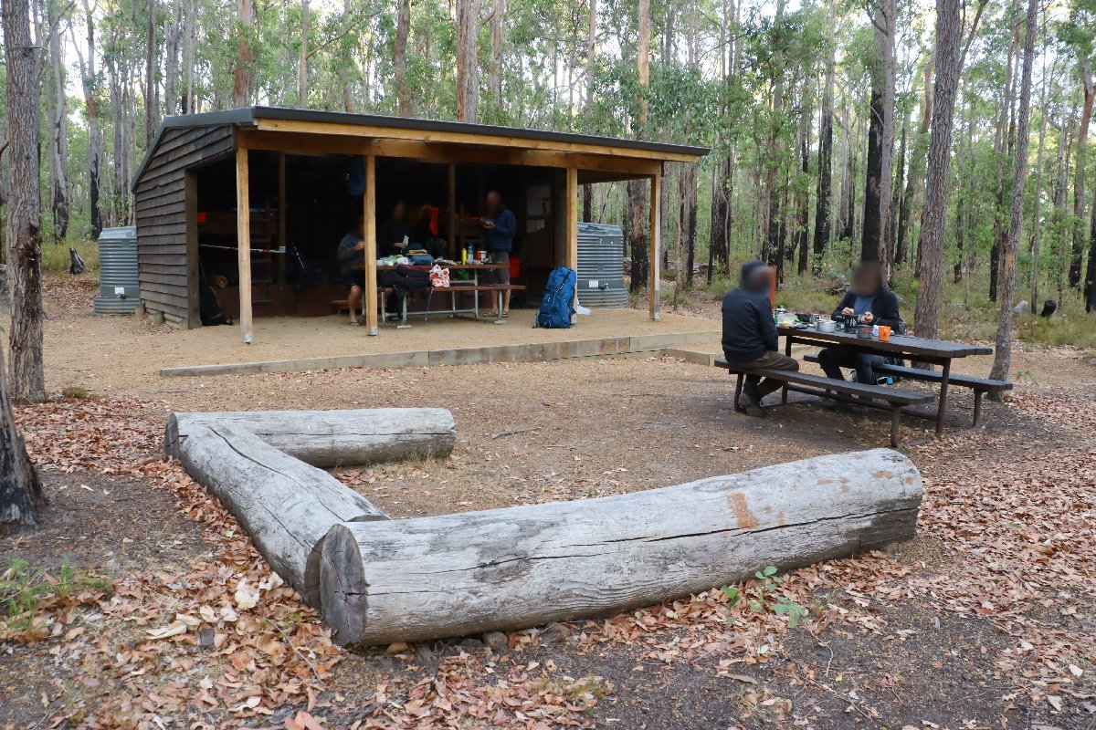
Yabberup Hut
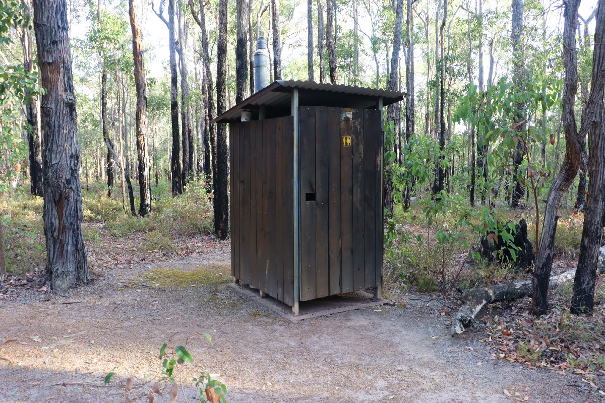
Yabberup Hut
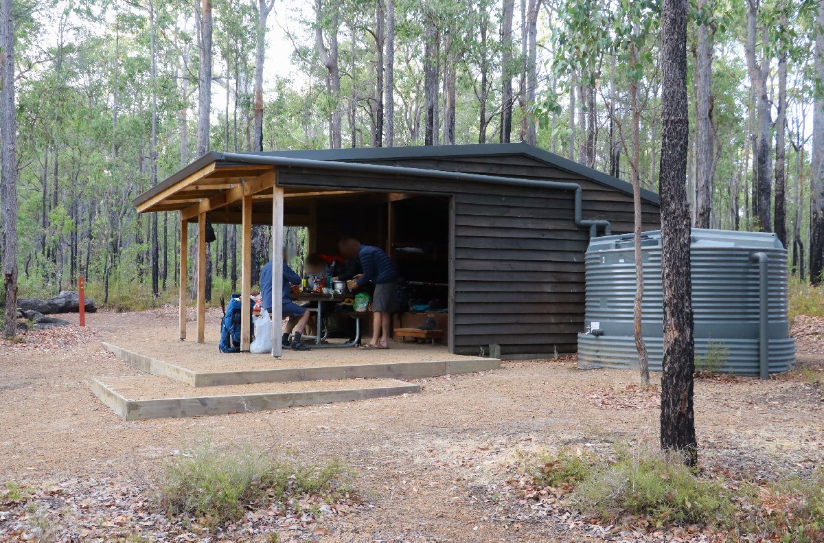
Yabberup Hut
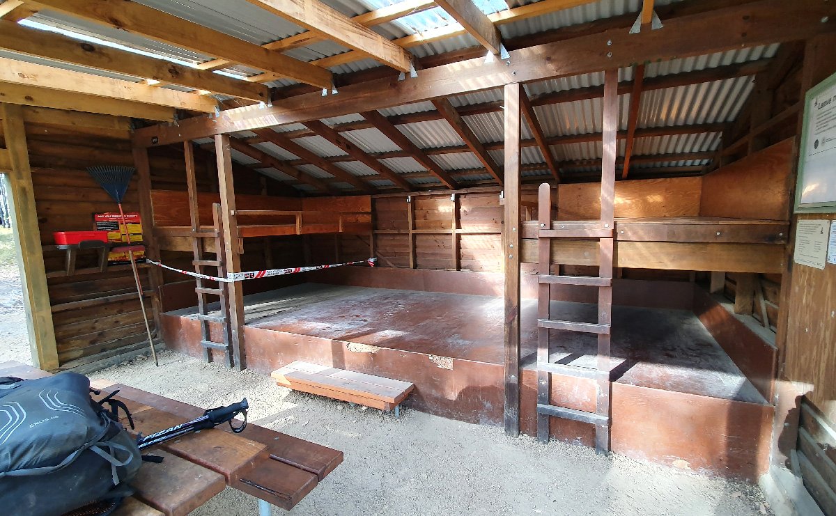
Yabberup Hut
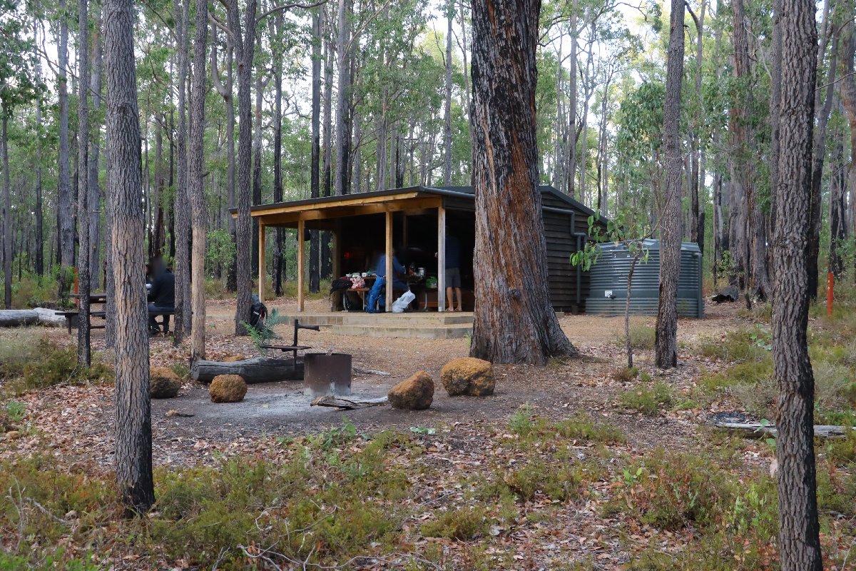
Yabberup Hut
Lyall's Mill Group Hut
Hut #22a SOBO, Hut #27a NOBO. Configuration: Other (Group Hut). Distance from Yabberup: 20.1km. Distance to Grimwade: 22.5km.
This hut is located about 500 north of Yabberup hut on the beginning of the Wellington Dam. Spur Trail.
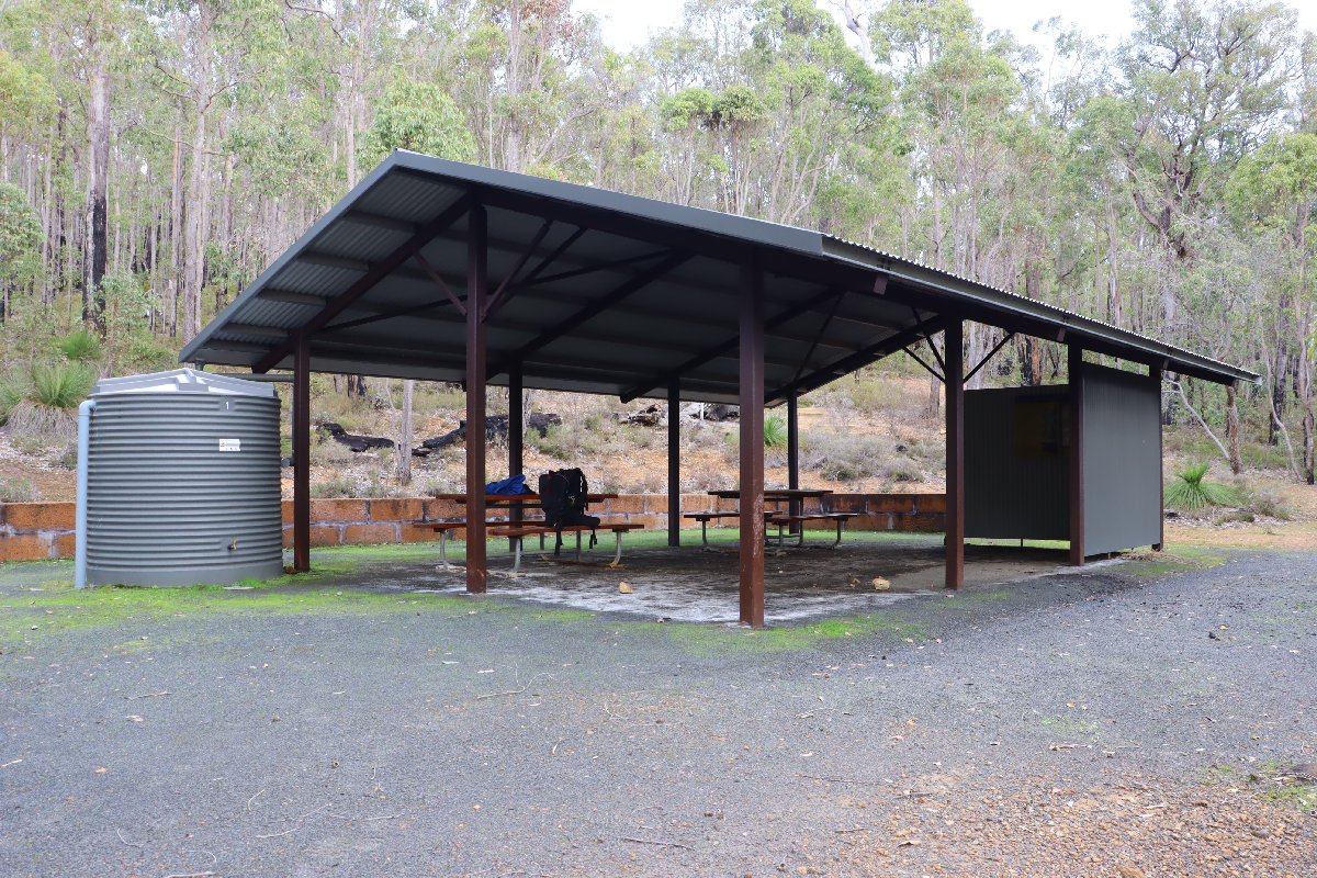
Lyall's Mill Group Hut
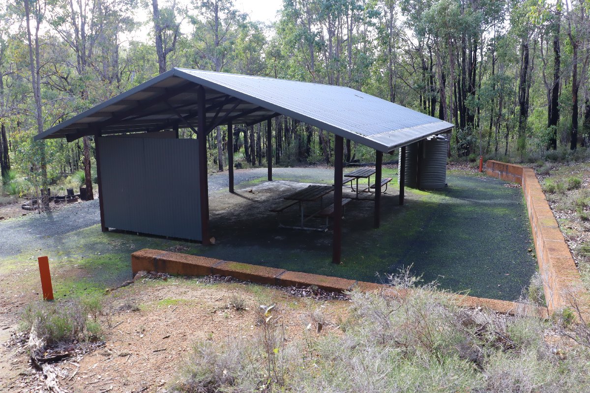
Lyall's Mill Group Hut
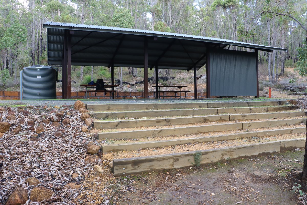
Lyall's Mill Group Hut
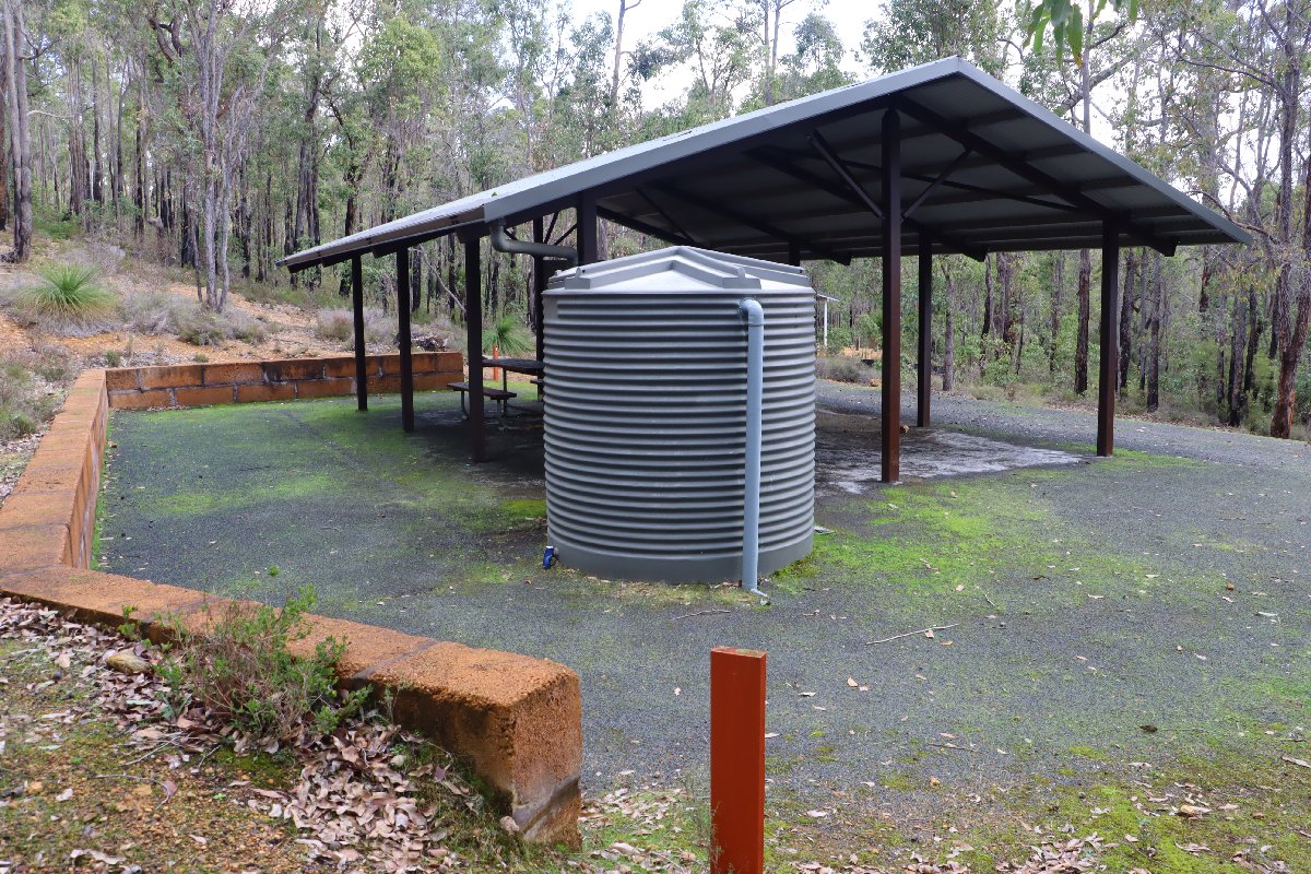
Lyall's Mill Group Hut
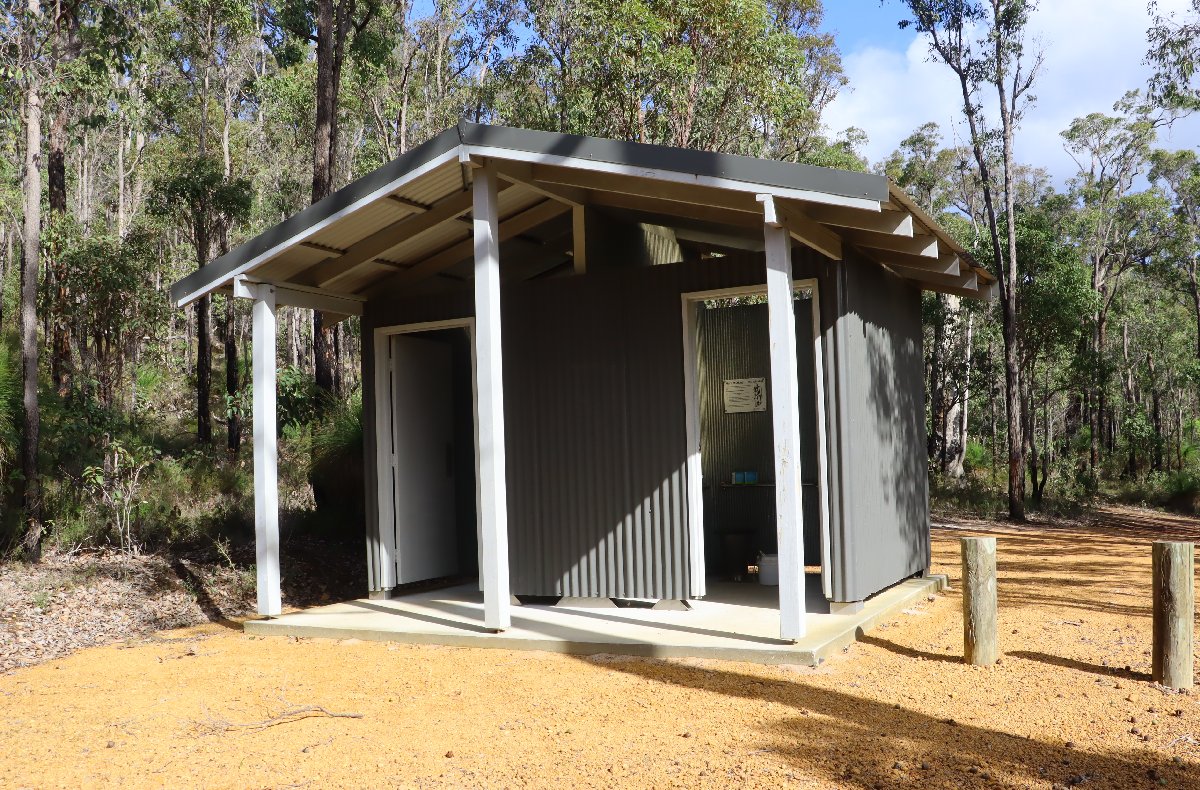
Lyall's Mill Group Hut
Noggerup
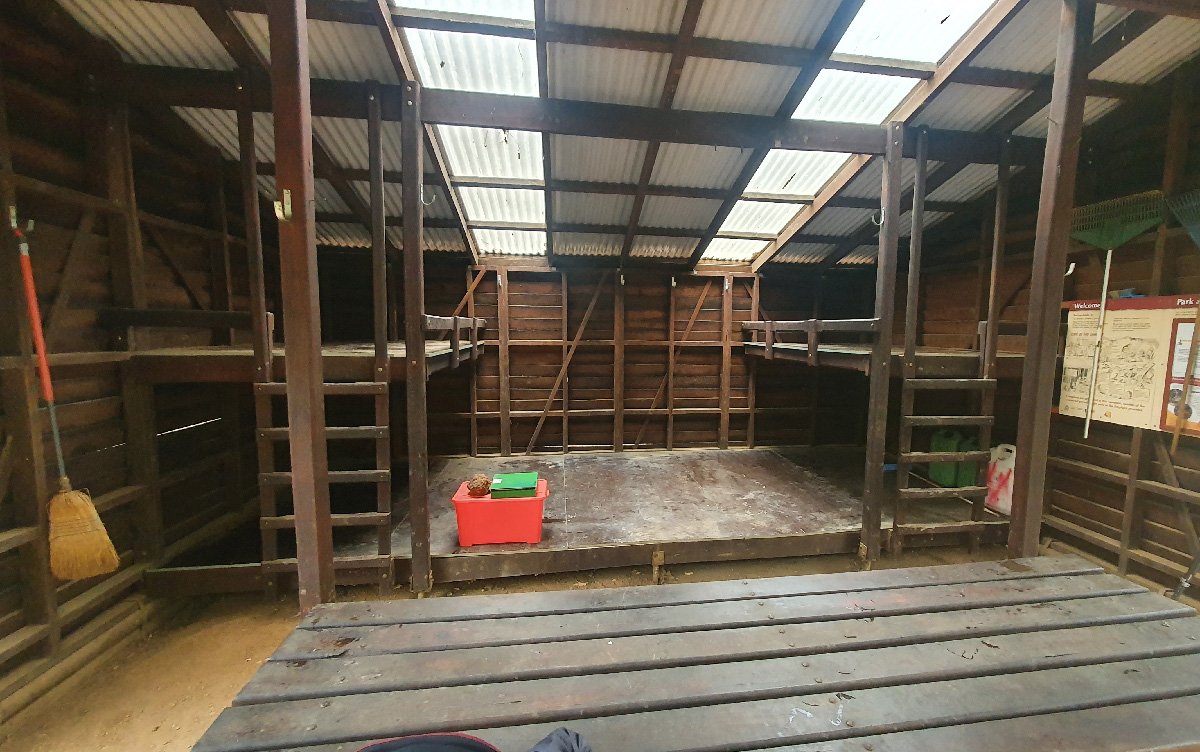
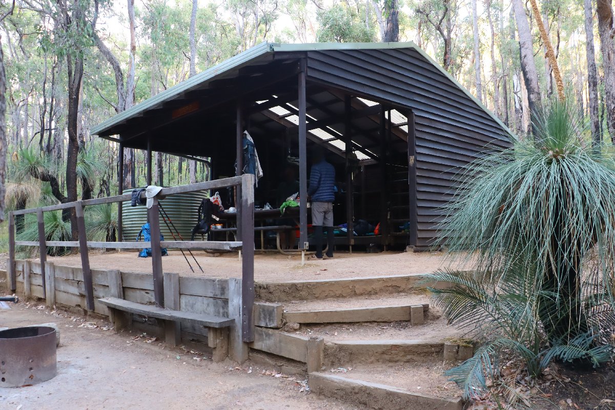
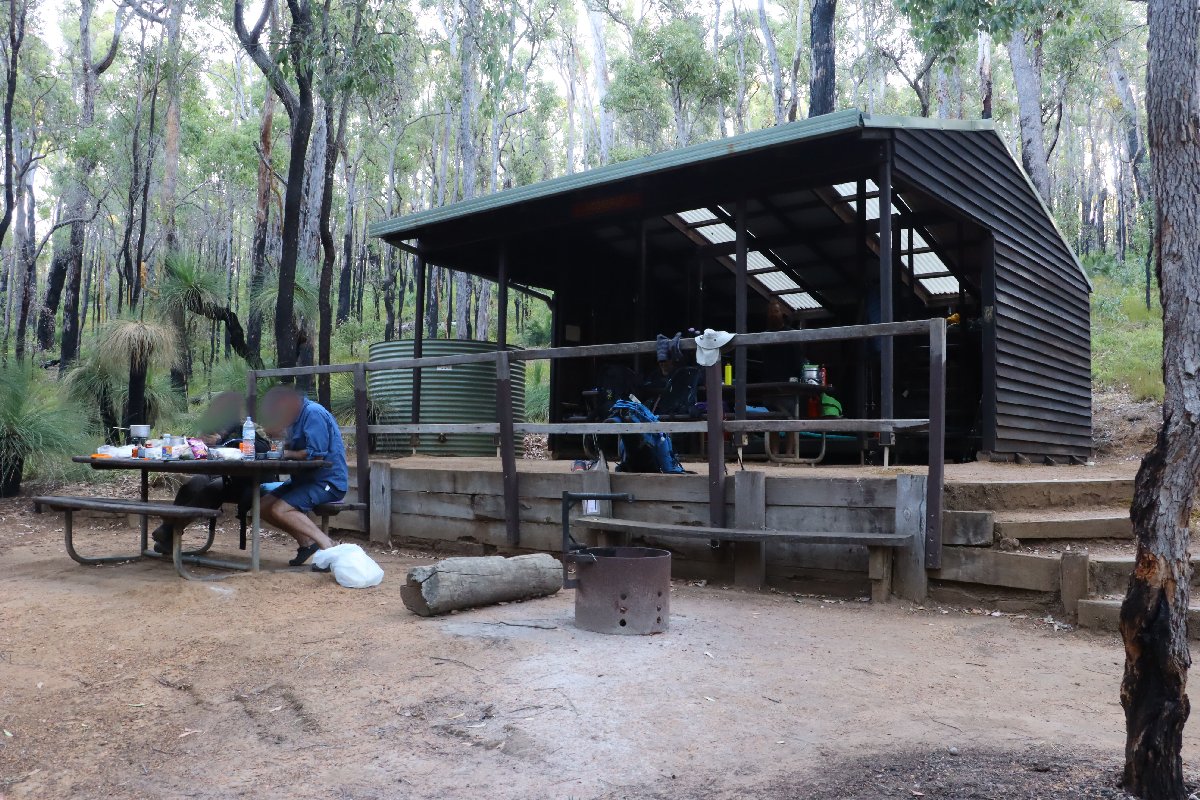
Hut #23 SOBO, Hut #27 NOBO. Configuration: Type 2 (Deep South). Distance from Yabberup: 20.1km. Distance to Grimwade: 22.5km.
This hut barely escaped being destroyed by a bushfire in 2023.
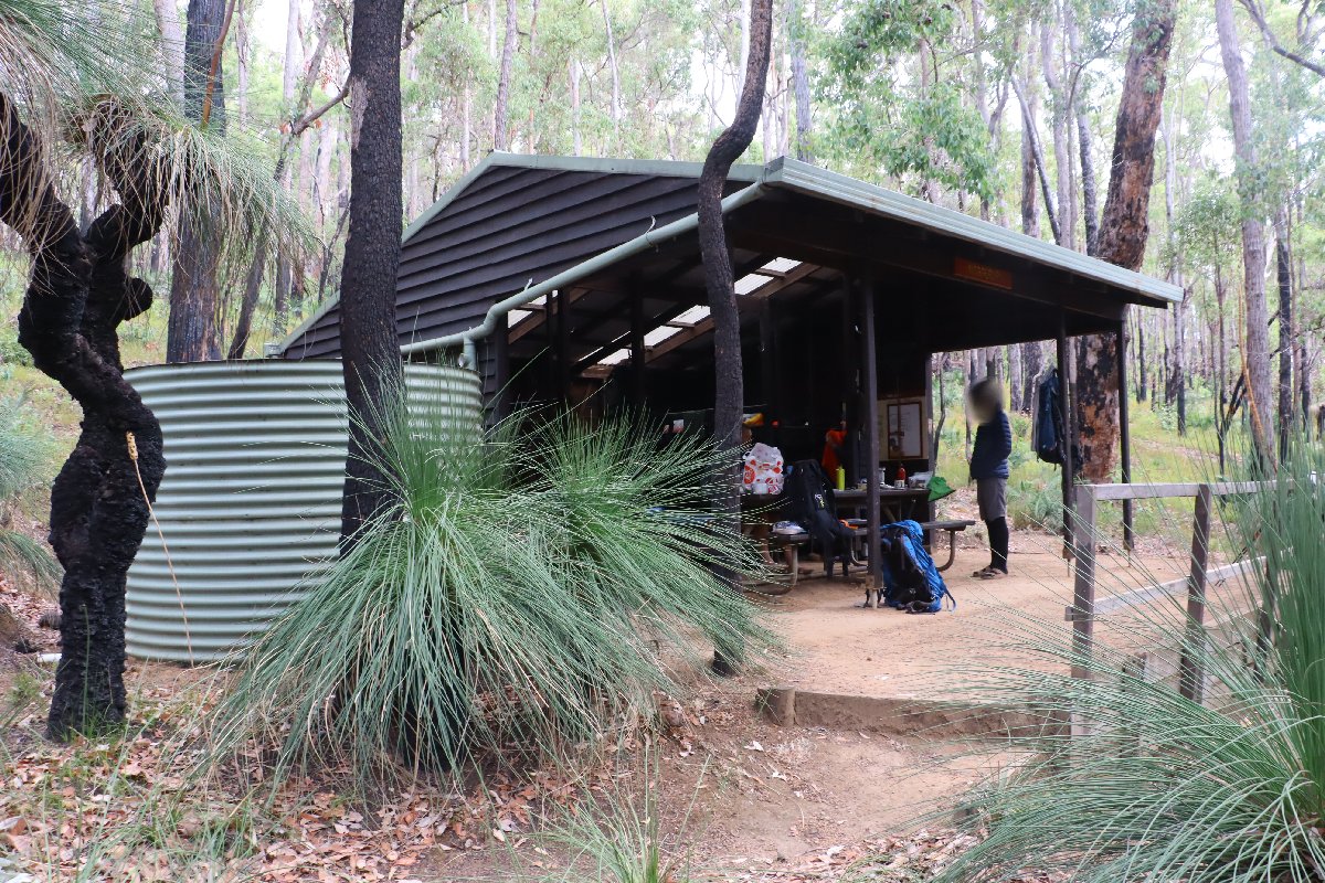
Noggerup hut
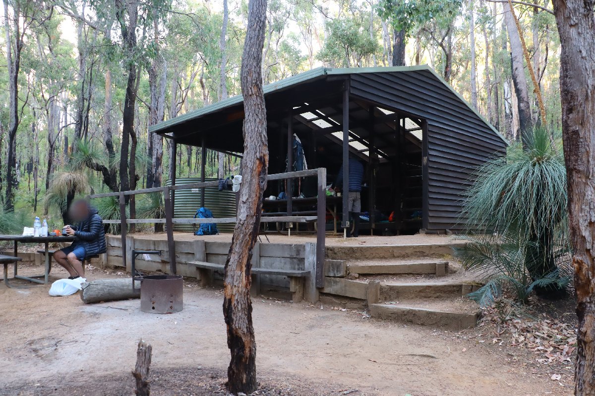
Noggerup hut
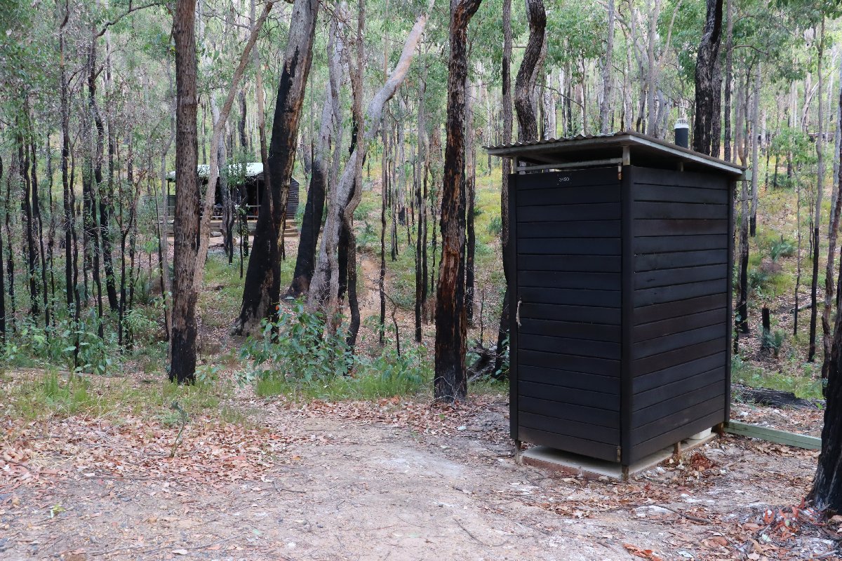
Noggerup hut
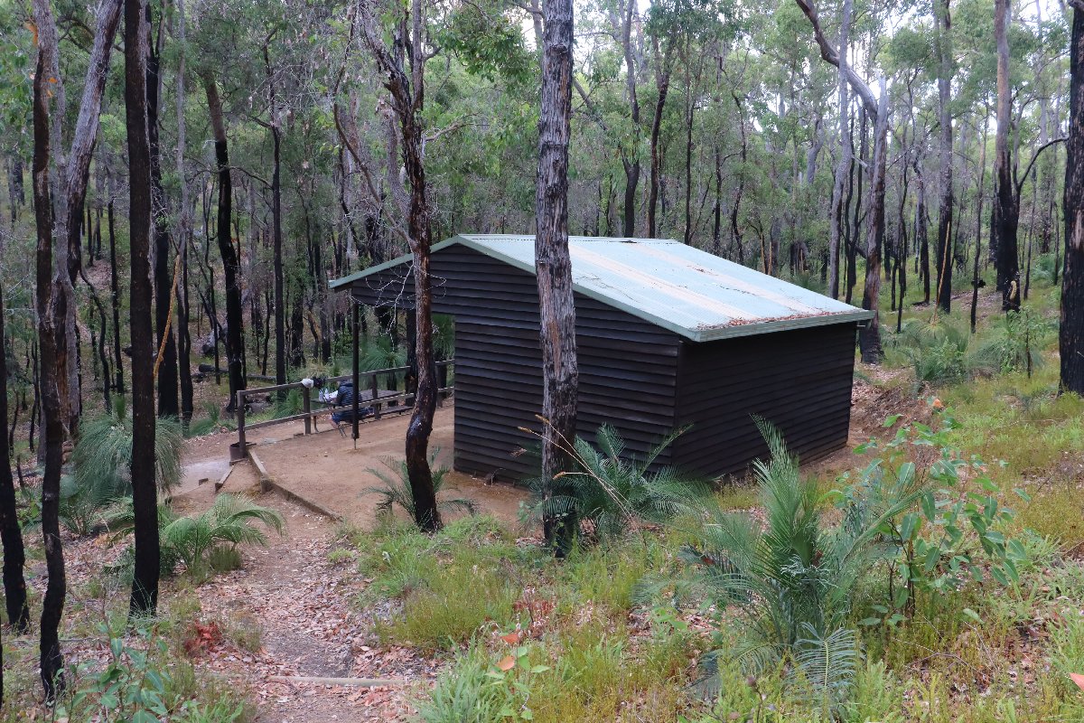
Noggerup hut
Noggerup hut
Noggerup hut
Noggerup hut
Grimwade
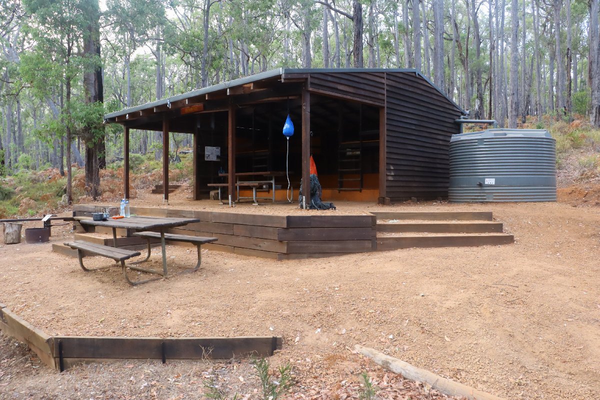
Hut #24 SOBO, Hut #26 NOBO. Configuration: Type 2 (Deep South). Distance from Noggerup: 22.5km. Distance to Balingup: 22.9km.
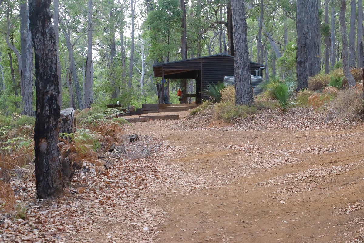
This was built as a Type 1B (Stretch). It has been converted into a Type 2.
Grimwade Hut
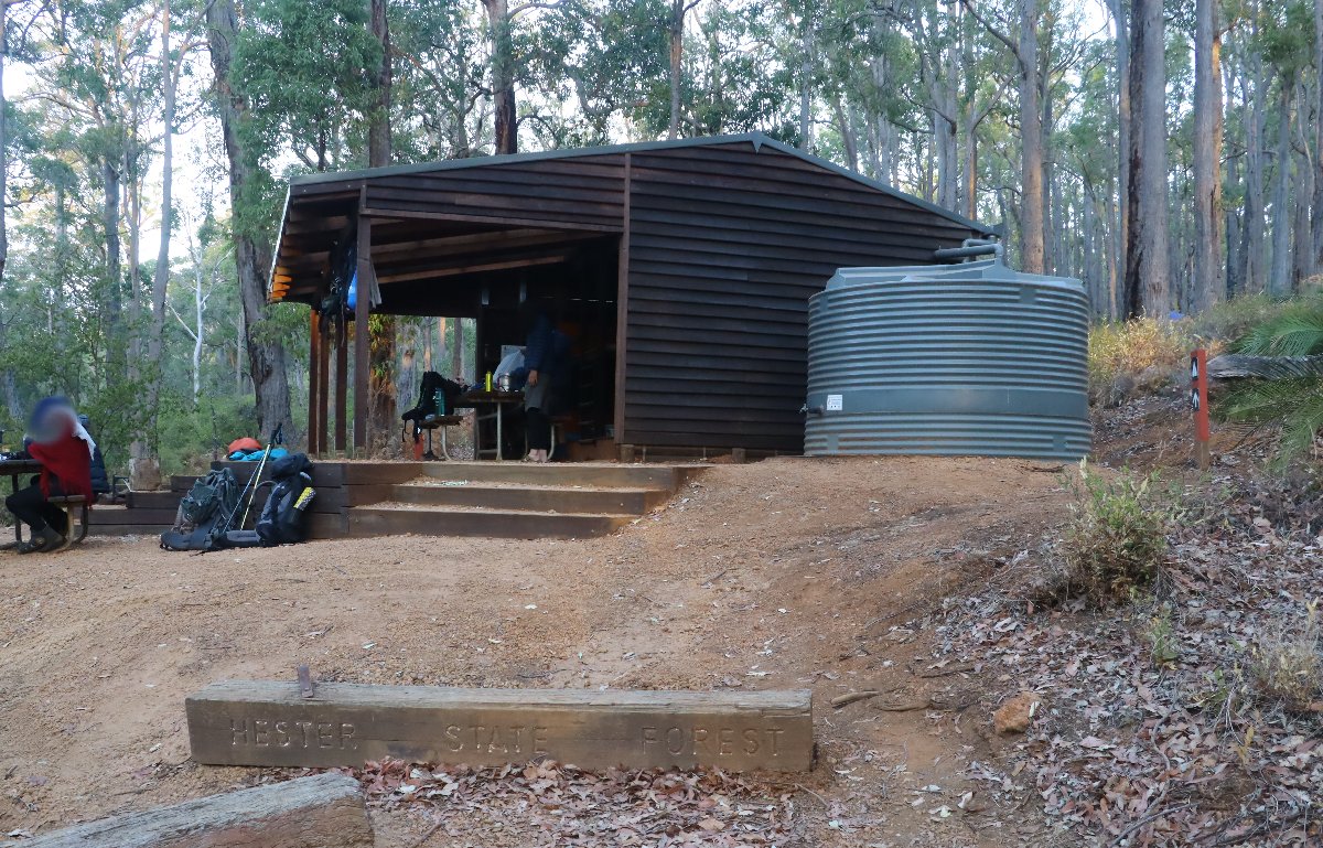
Grimwade Hut
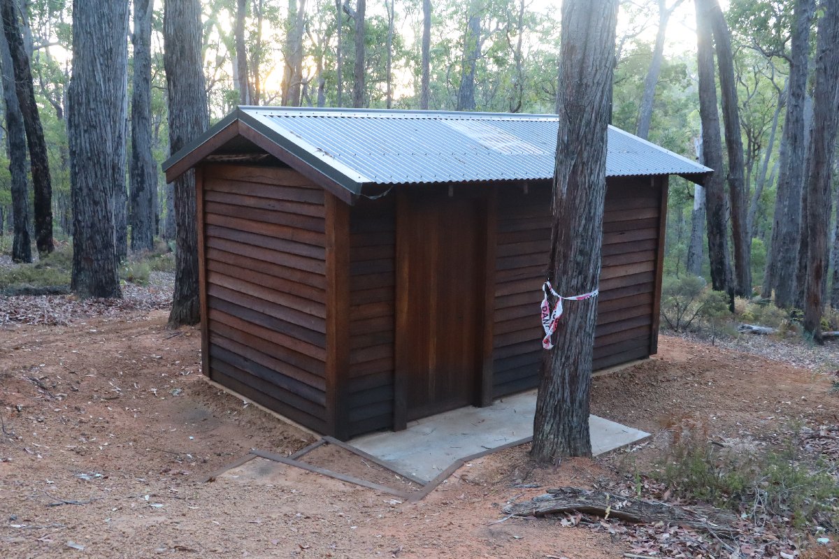
Grimwade Hut
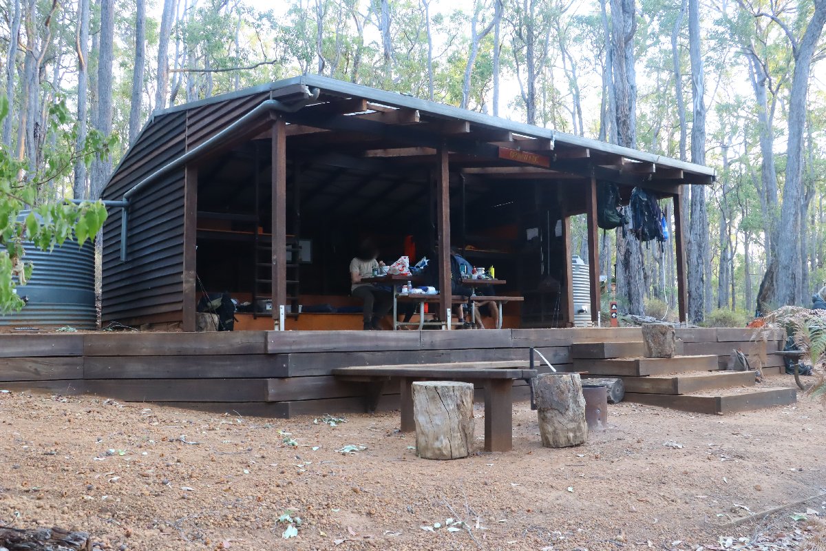
Grimwade Hut
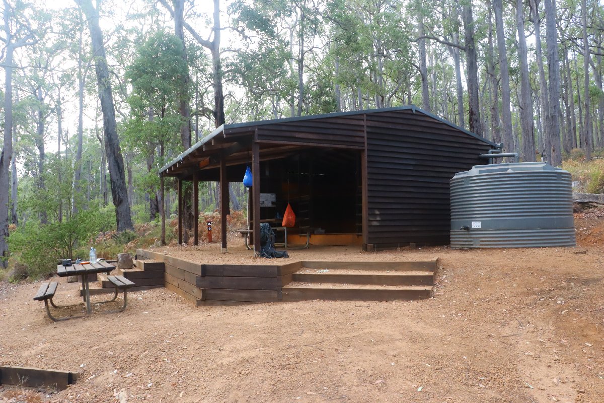
Grimwade Hut
Grimwade Hut
Blackwood
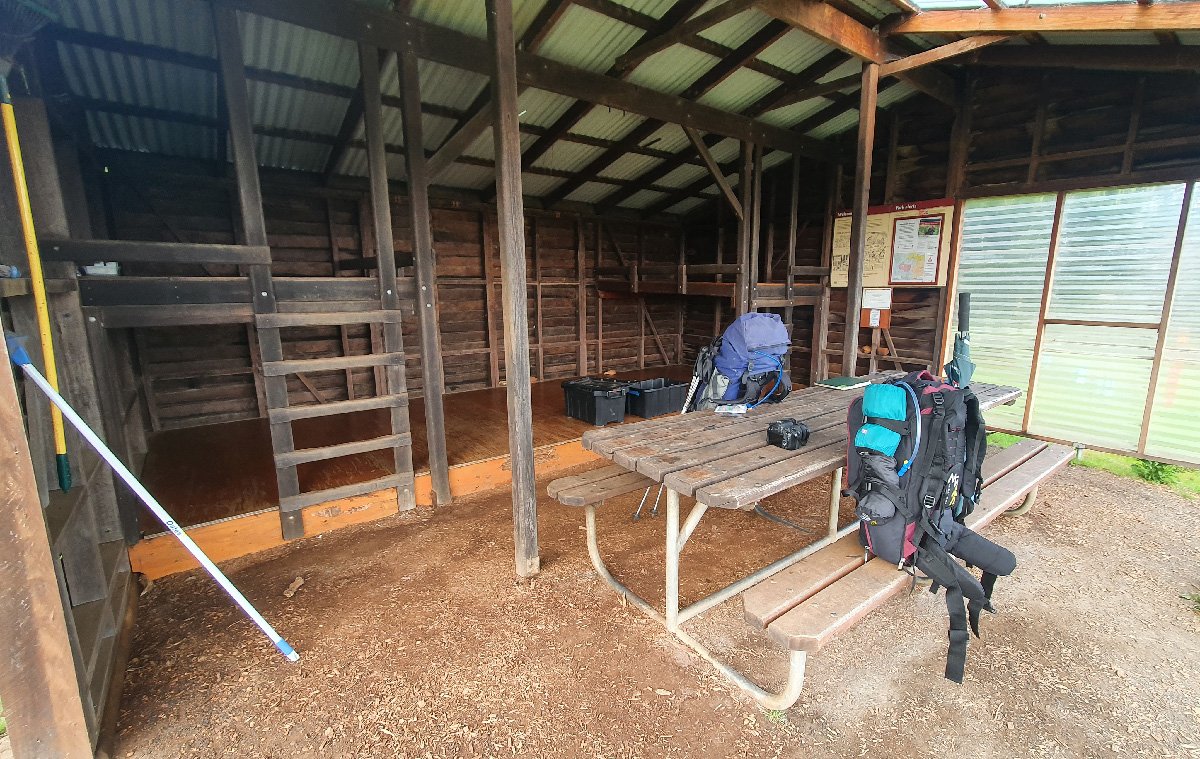
Hut #25 SOBO, Hut #25 NOBO. Configuration: Type 2 (Deep South). Distance from Balingup: 18.1km. Distance to Gregory Brook: 22.9km.
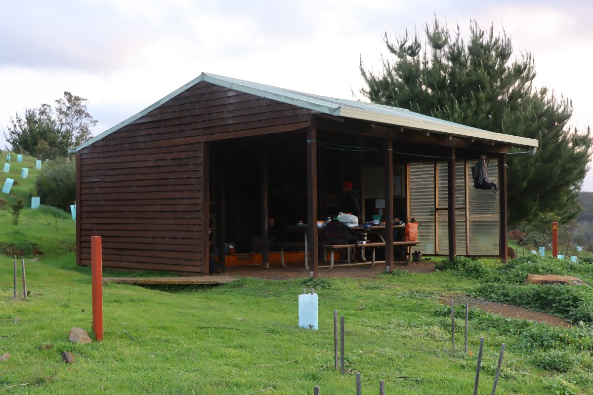
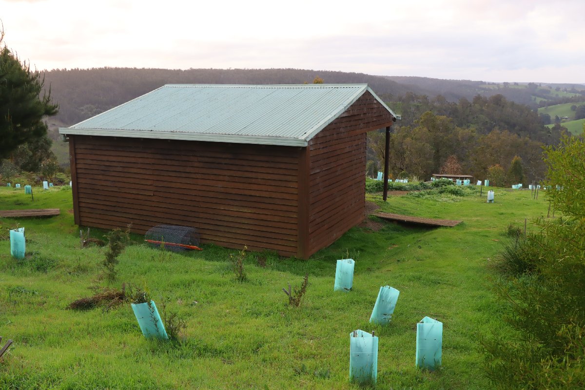
This hut is located on a hillside overlooking the Blackwood River and has spectacular views. The hut was once located on the edge of a large pine forest, but the forest was destroyed in a bushfire. As a result, this hut is quite exposed. New trees have been planted around the hut, but it will be many years before they provide much protection from the weather.
Blackwood Hut
Blackwood Hut
Blackwood Hut
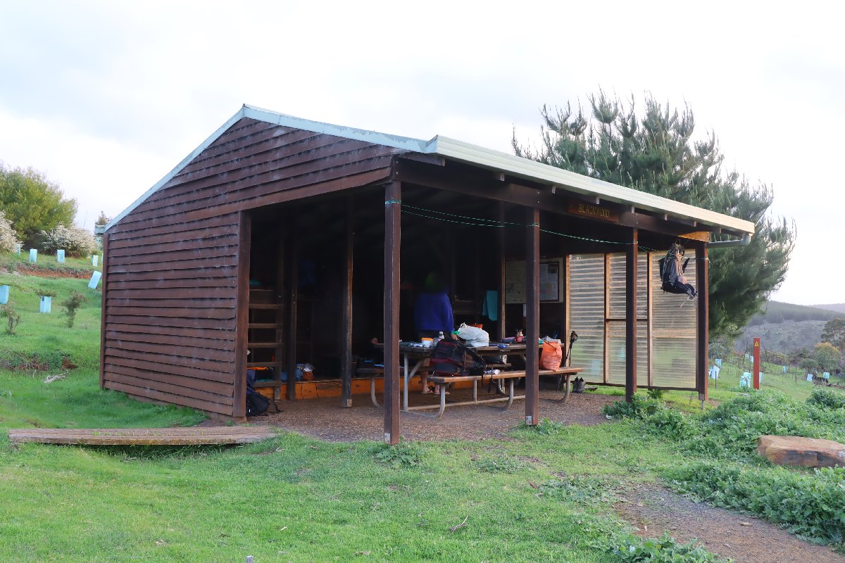
Blackwood Hut
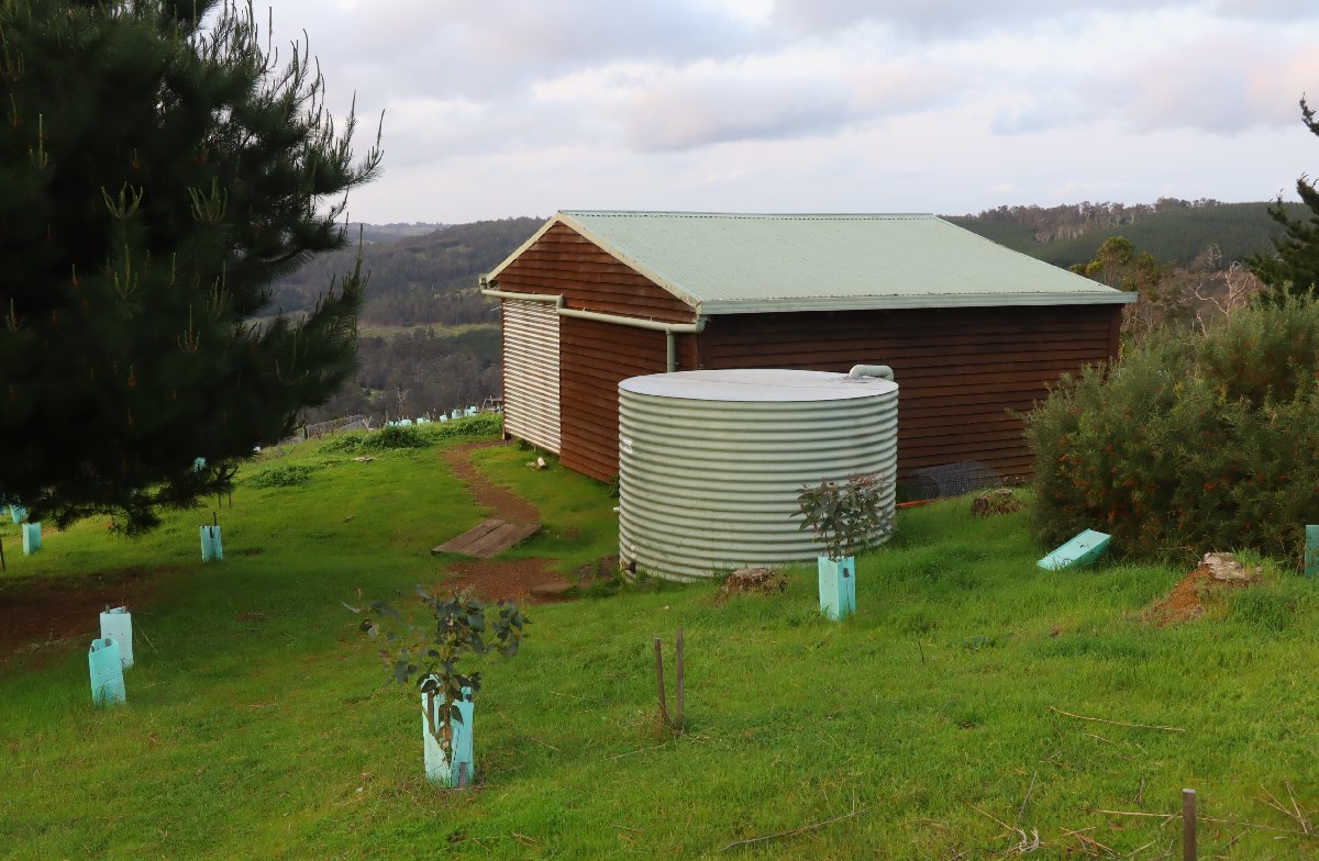
Blackwood Hut
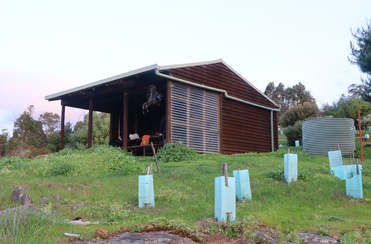
Blackwood Hut
Gregory Brook
Hut #26 SOBO, Hut #24 NOBO. Configuration: Type 2 (Deep South). Distance from Blackwood: 22.9km. Distance to Donnelly River Village: 20.8km.
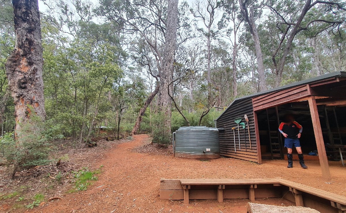
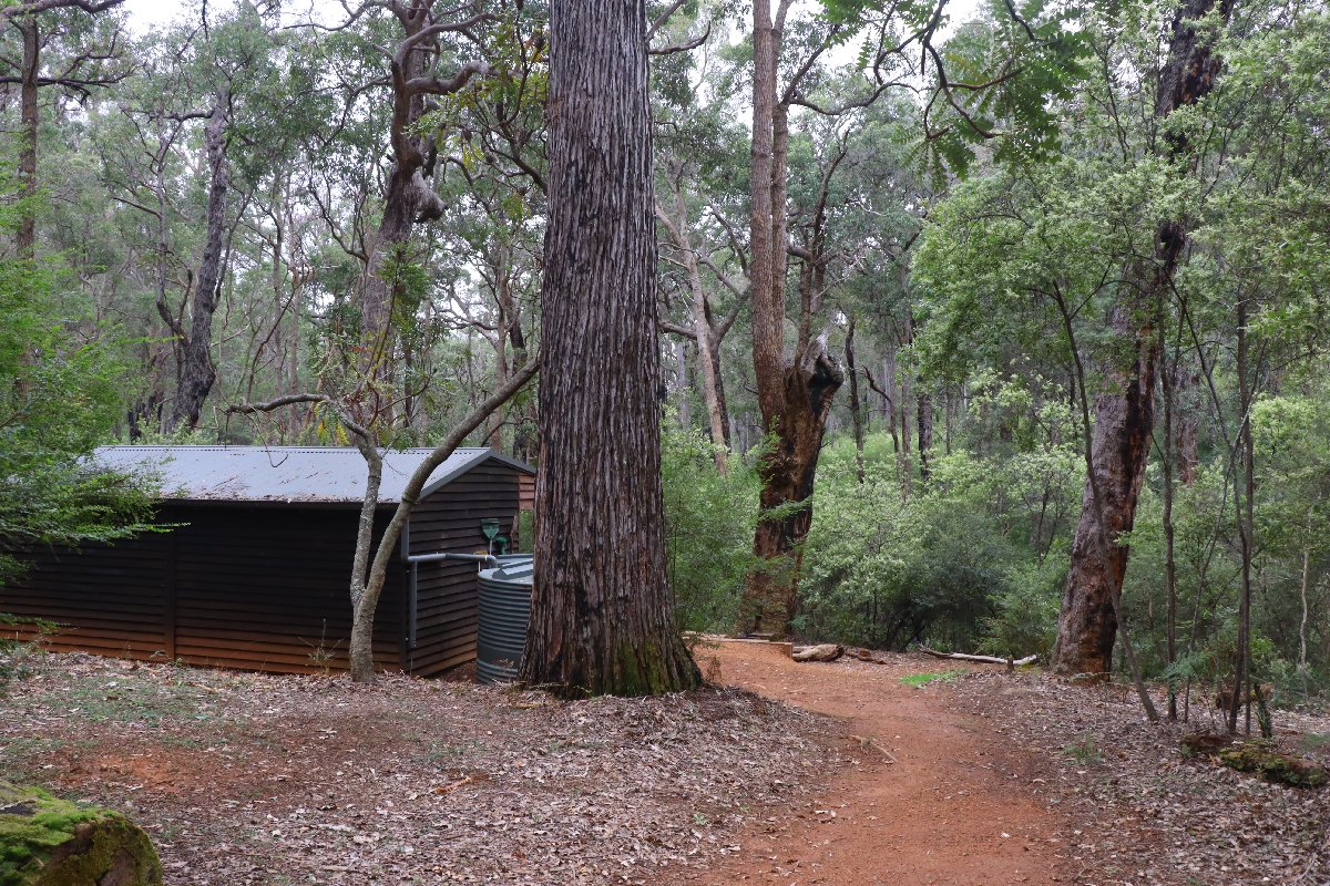
This hut is situated beside a brook among very large Jarrah, Marri and Blackbutt trees. It is a particularly picturesque hut. This hut was built as a Type 1B (Stretch). It has been converted to a Type 2.
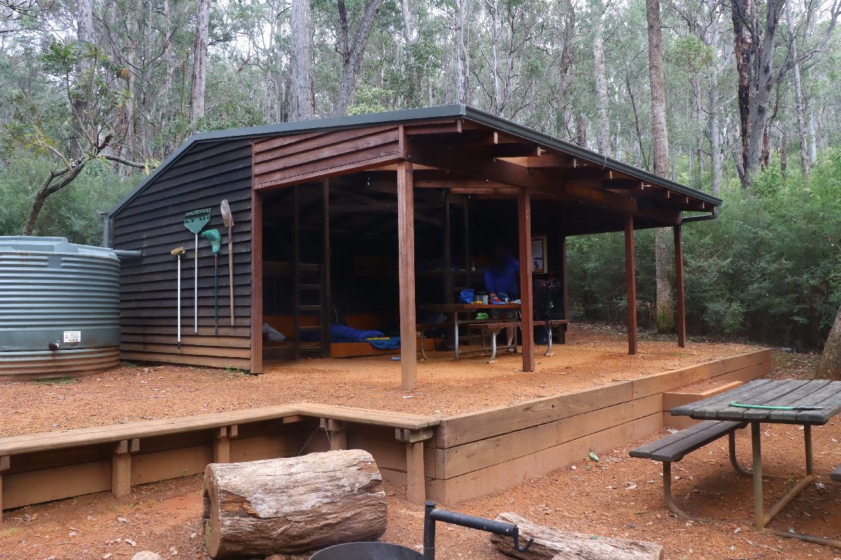
Gregory Brook Hut - rebuilt from a Type 1B
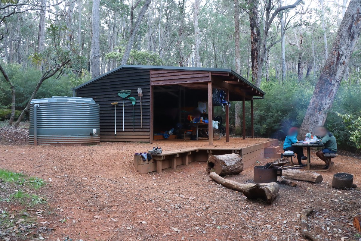
Gregory Brook Hut
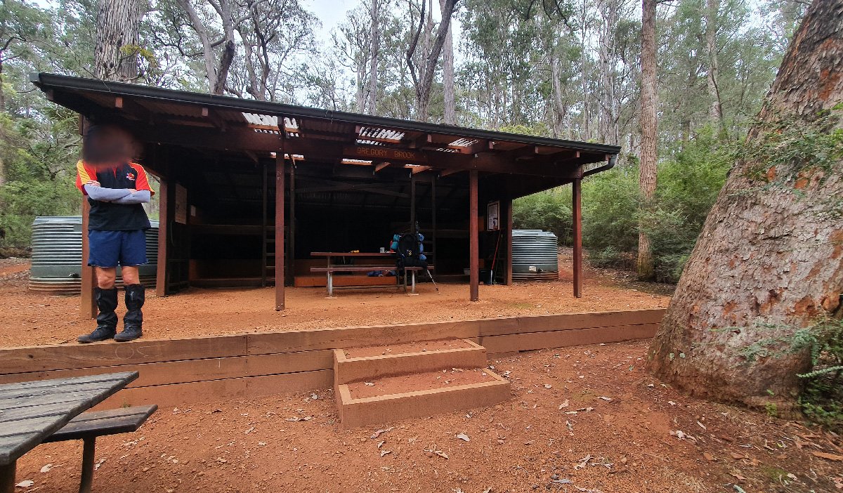
Gregory Brook Hut
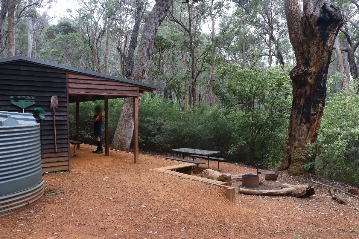
Gregory Brook Hut
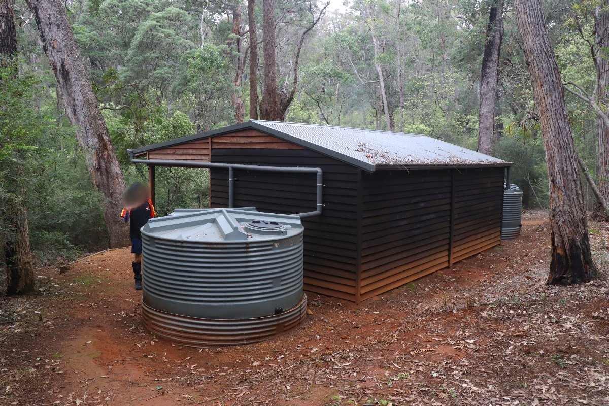
Gregory Brook Hut
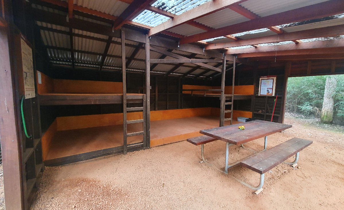
Gregory Brook Hut
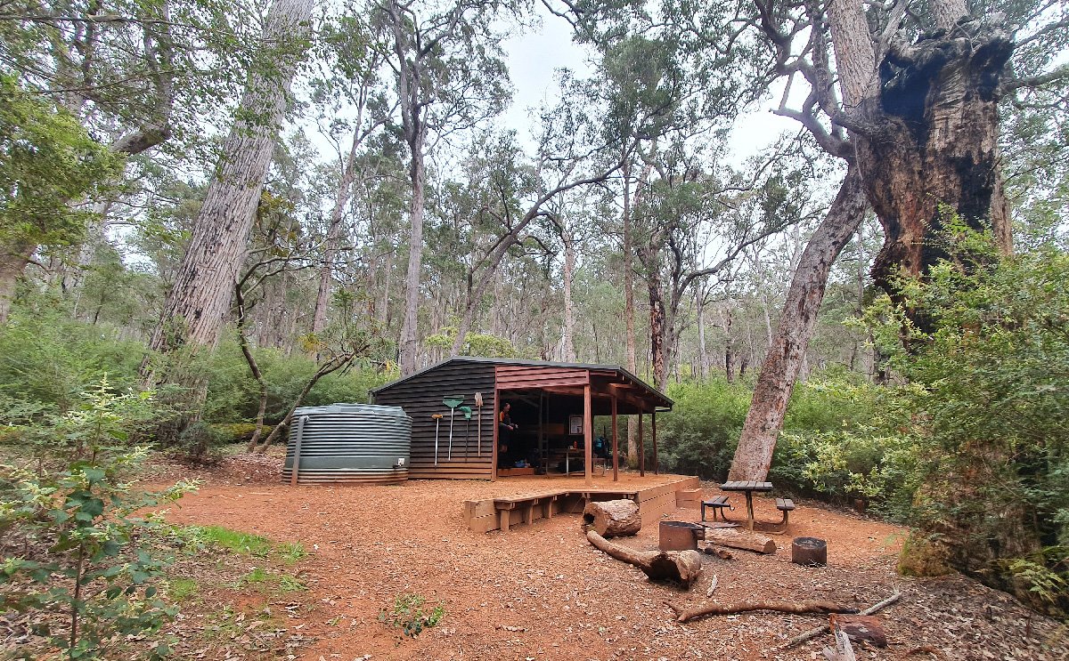
Gregory Brook Hut
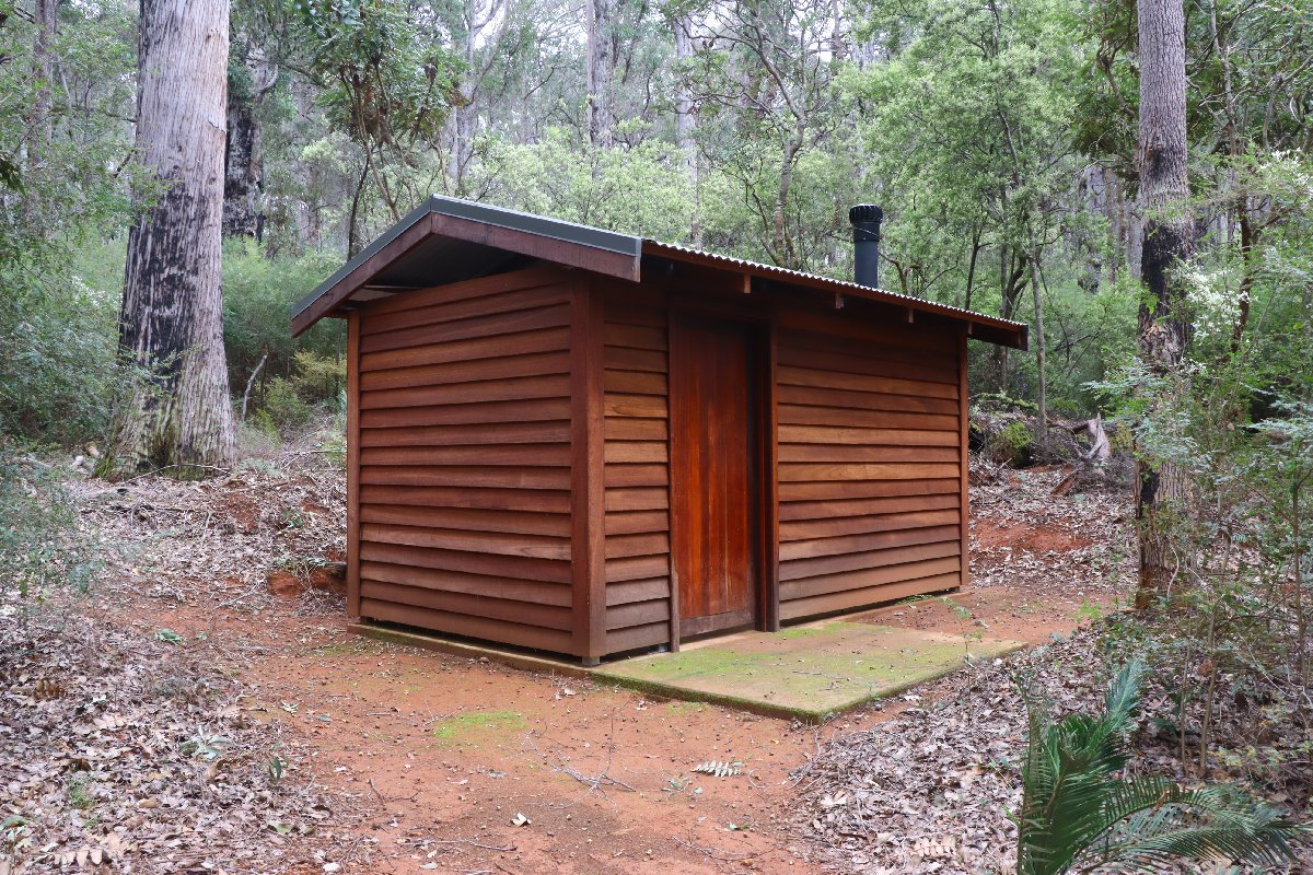
Gregory Brook Hut
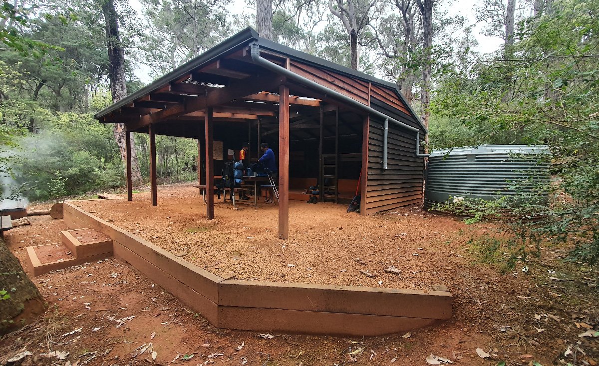
Gregory Brook Hut
Gregory Brook Hut
Gregory Brook Hut
Donnelly River Village
Hut #26.5 SOBO, Hut #23.5 NOBO. Configuration: Other. Distance from Gregory Brook: 20.8km. Distance to Tom Road: 16.2km.
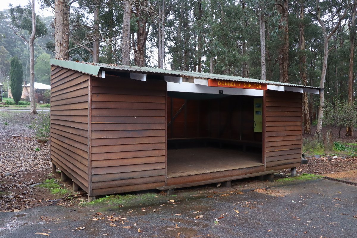
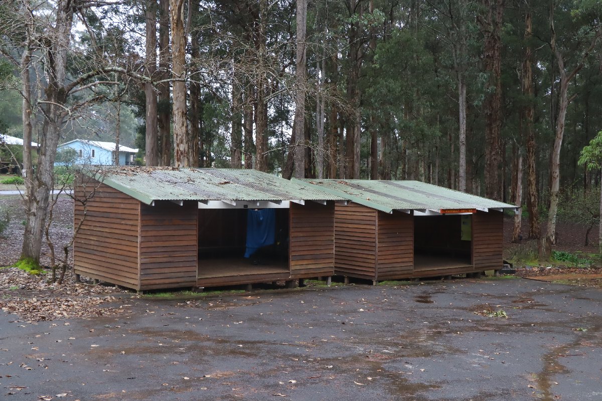
This is not technically a hut. It is a converted shed located at the former primary school in the village. It is free for hikers to sleep here.
Donnelly River Village
Donnelly River Village
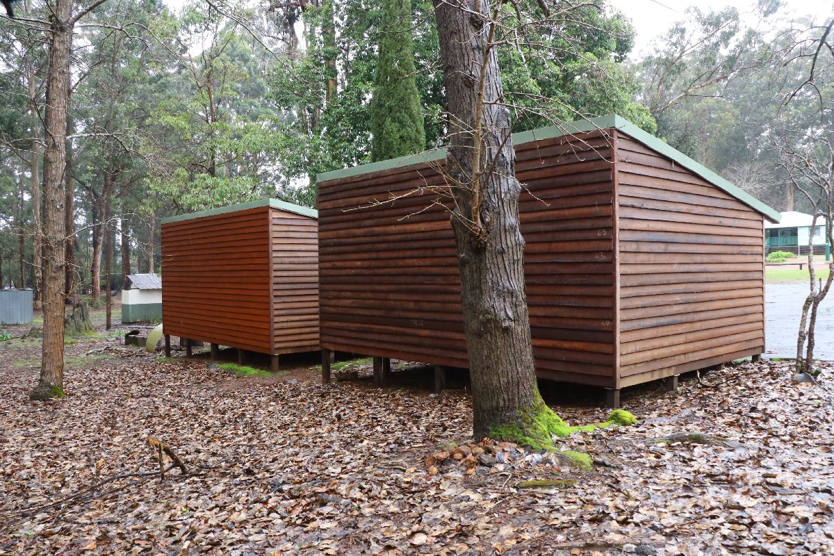
Donnelly River Village
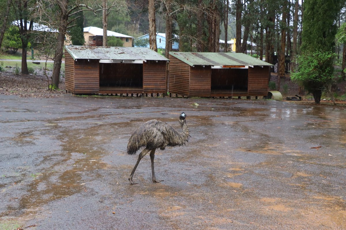
Donnelly River Village
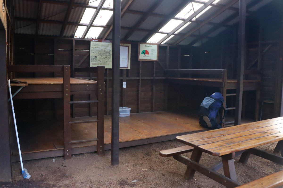
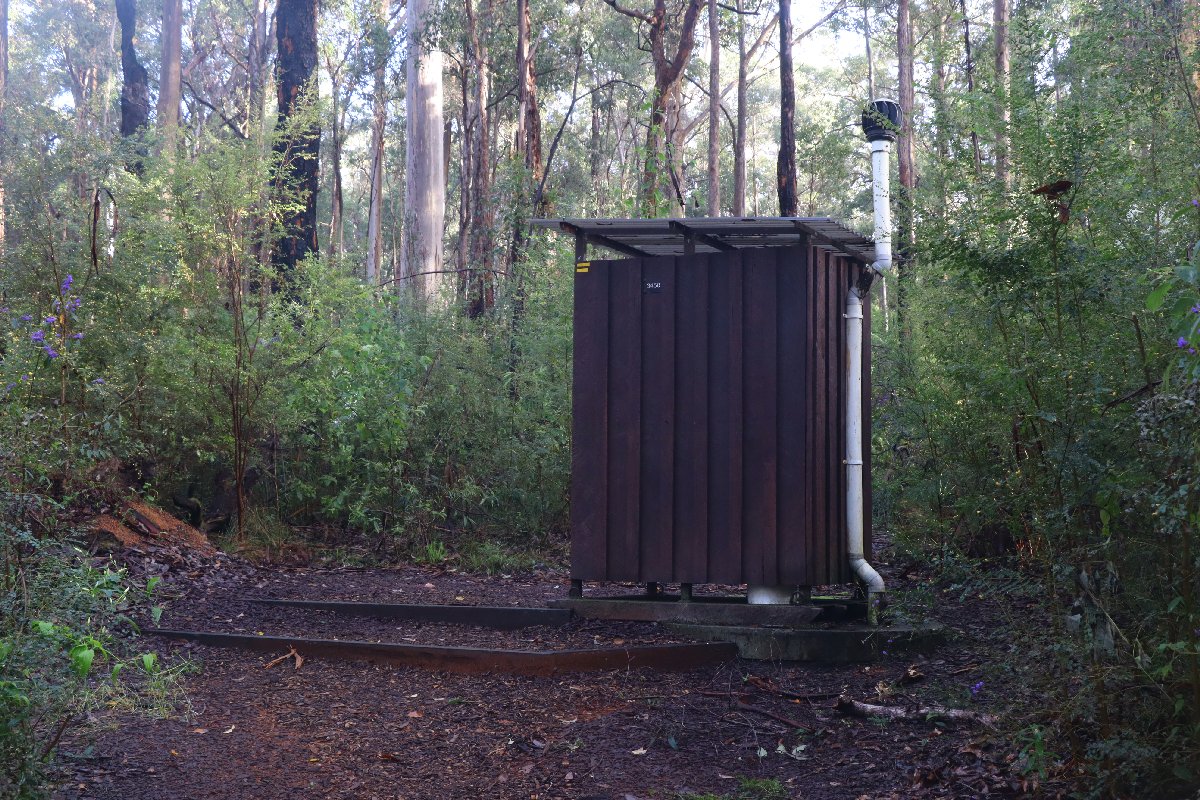
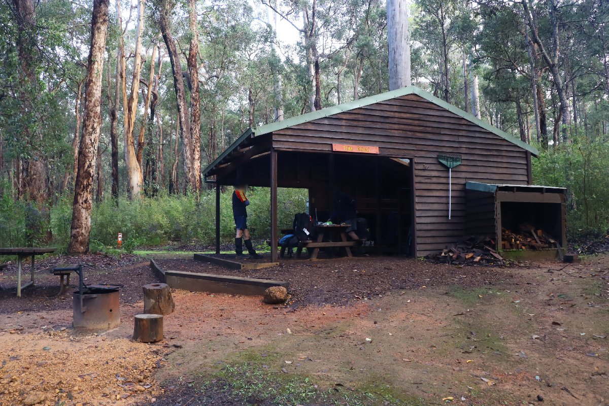
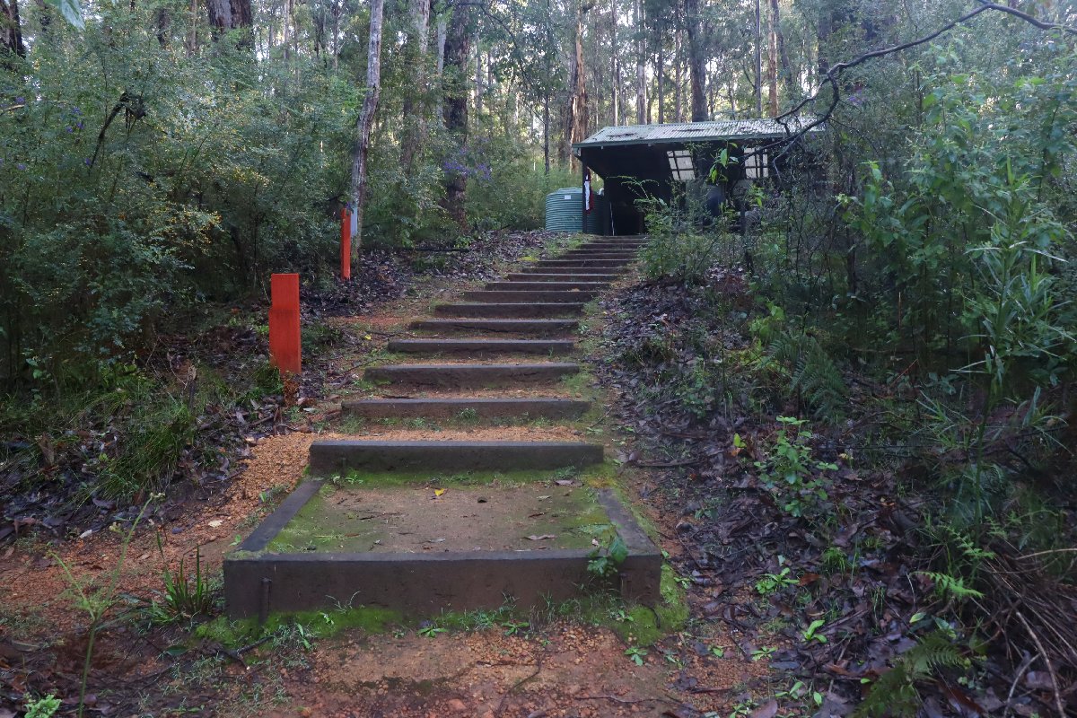
Tom Road
Hut #27 SOBO, Hut #23 NOBO. Configuration: Type 2 (Deep South). Distance from Donnelly River Village: 16.2km. Distance to Boarding House: 23.5km.
Tom Road hut is situated in Karri forest beside a bend in the Donnelly River. There is a large pool here that is a great place for a swim or to soak sore feet.
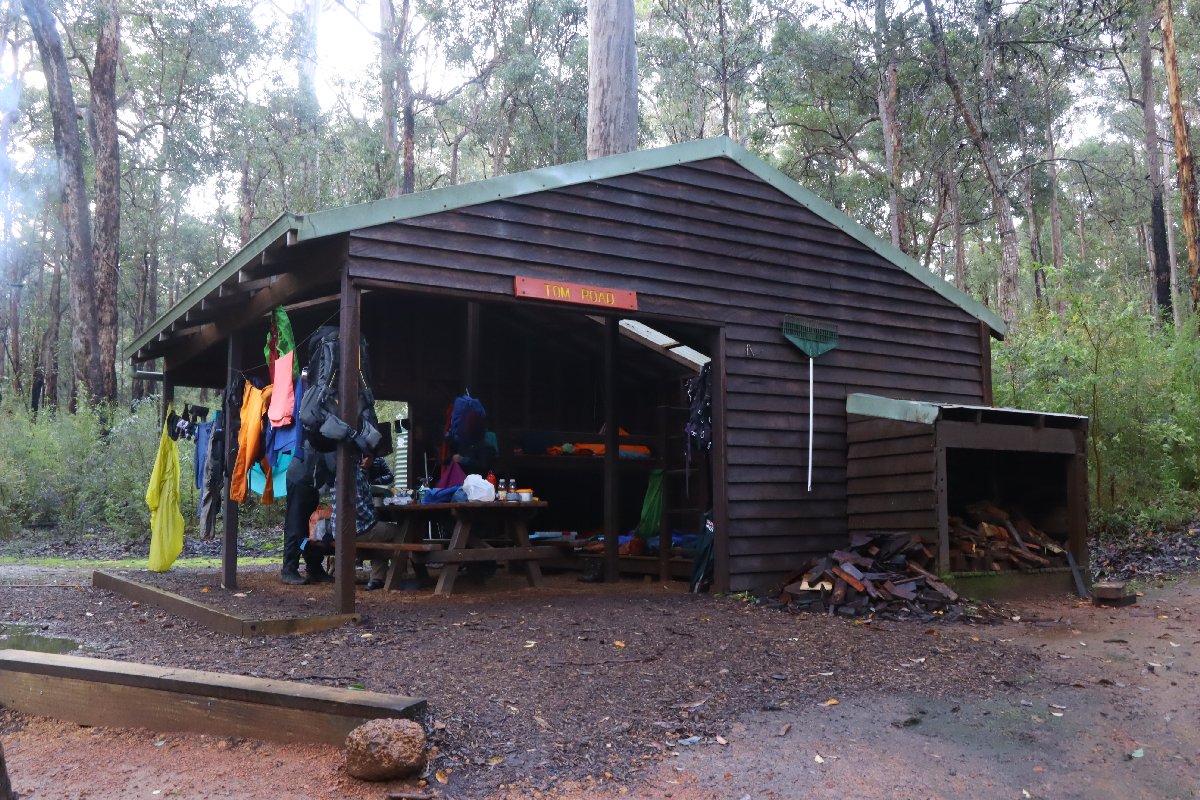
Tom Road Hut
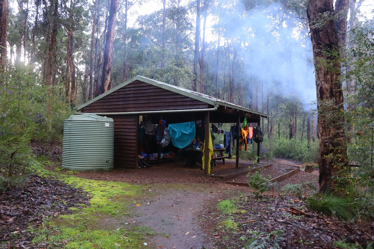
Tom Road Hut
Tom Road Hut
Tom Road Hut
Tom Road Hut
Tom Road Hut
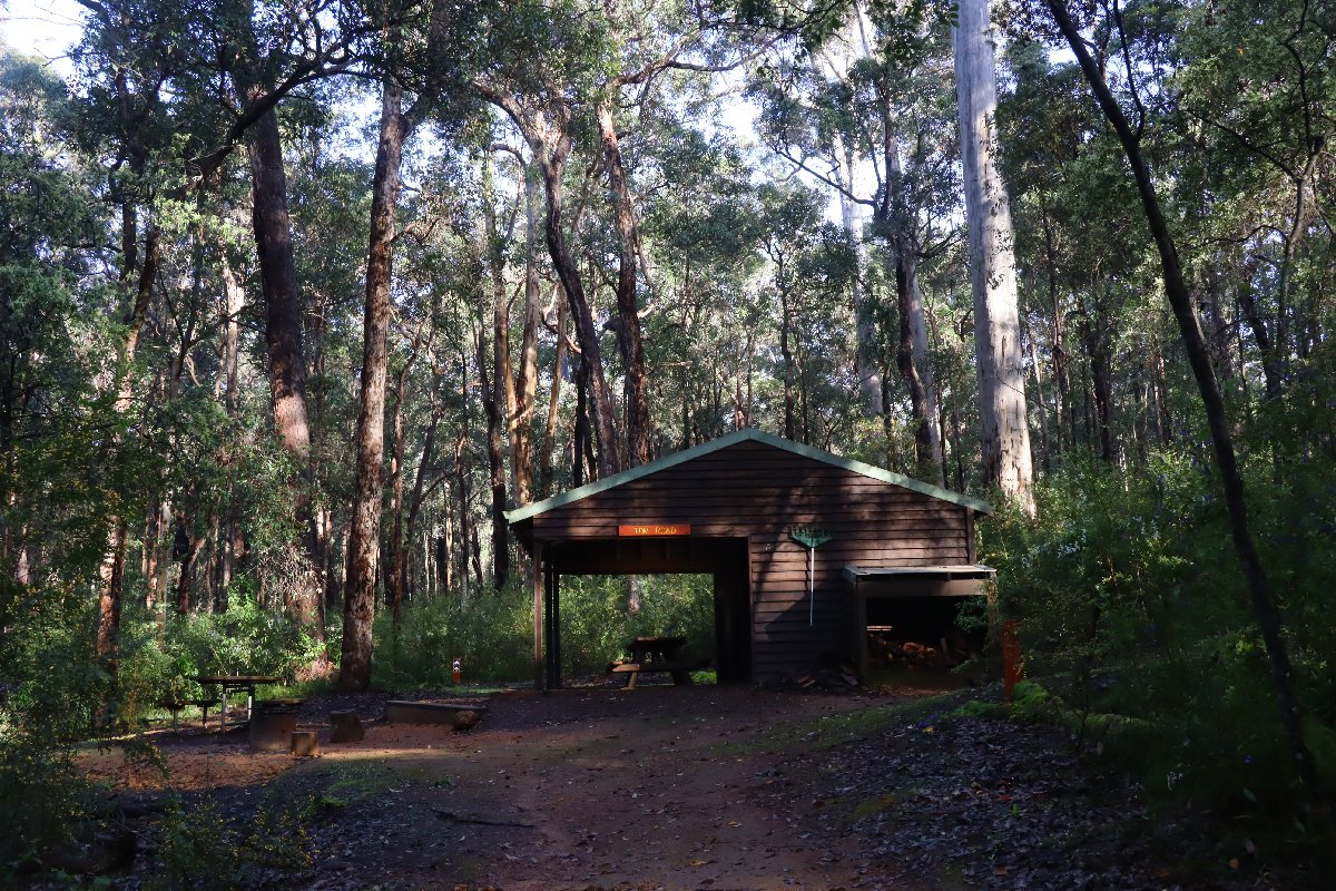
Tom Road Hut
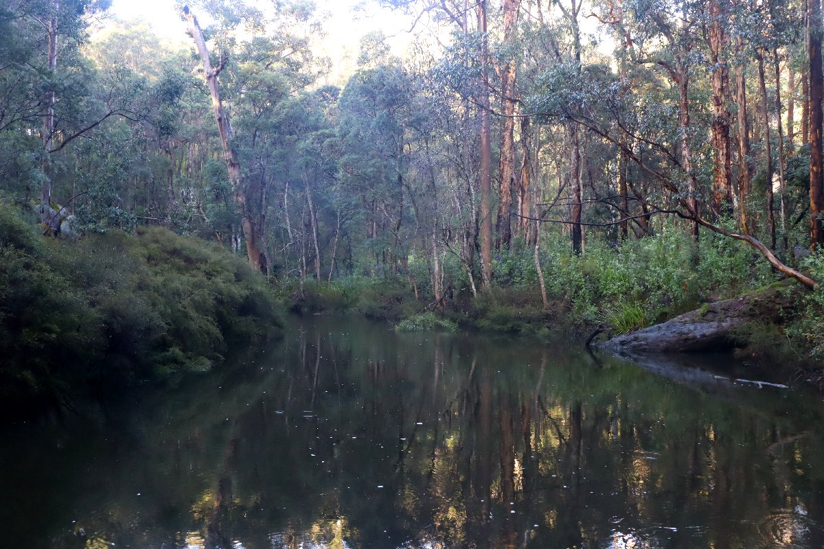
Tom Road Hut
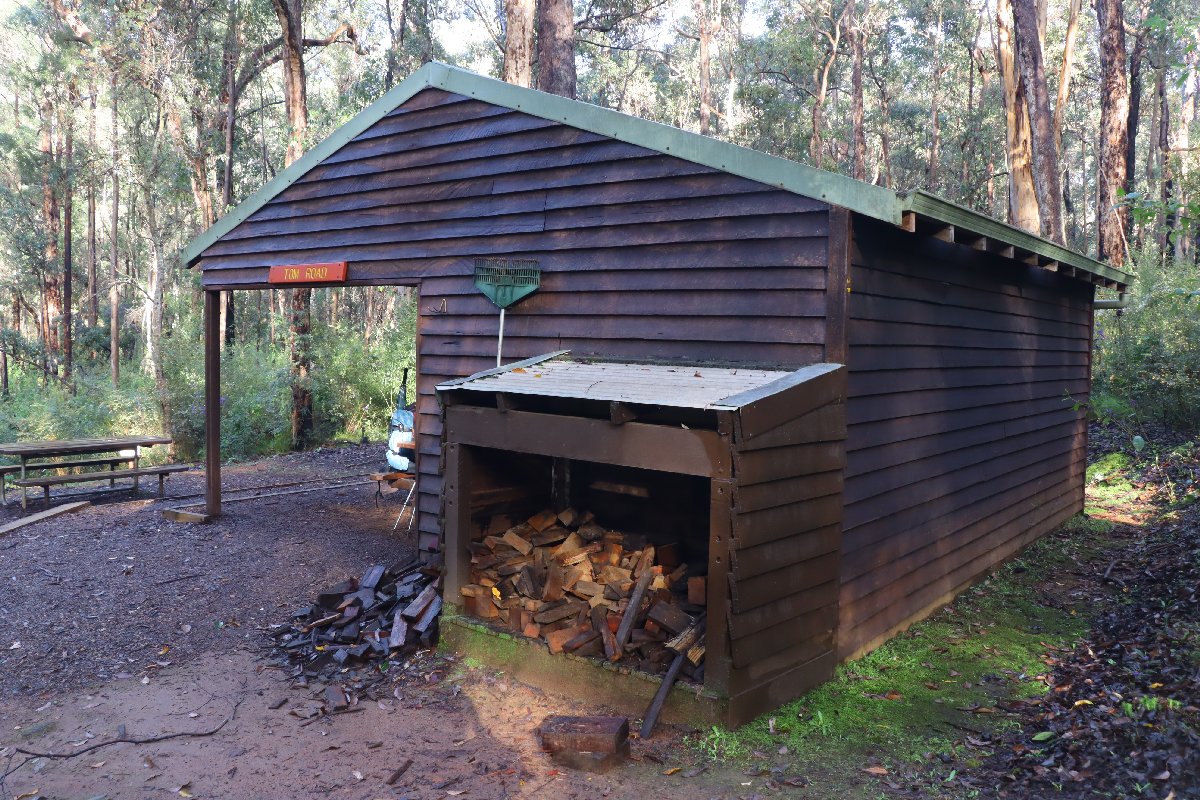
Tom Road Hut
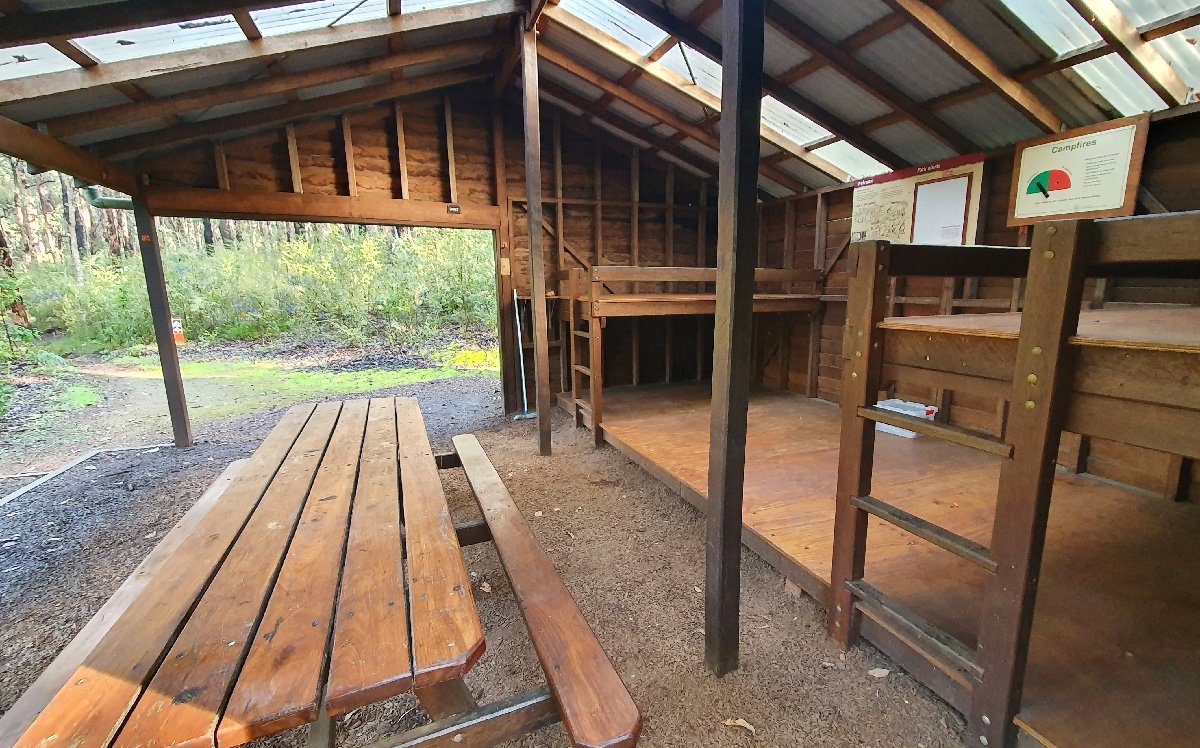
Tom Road Hut
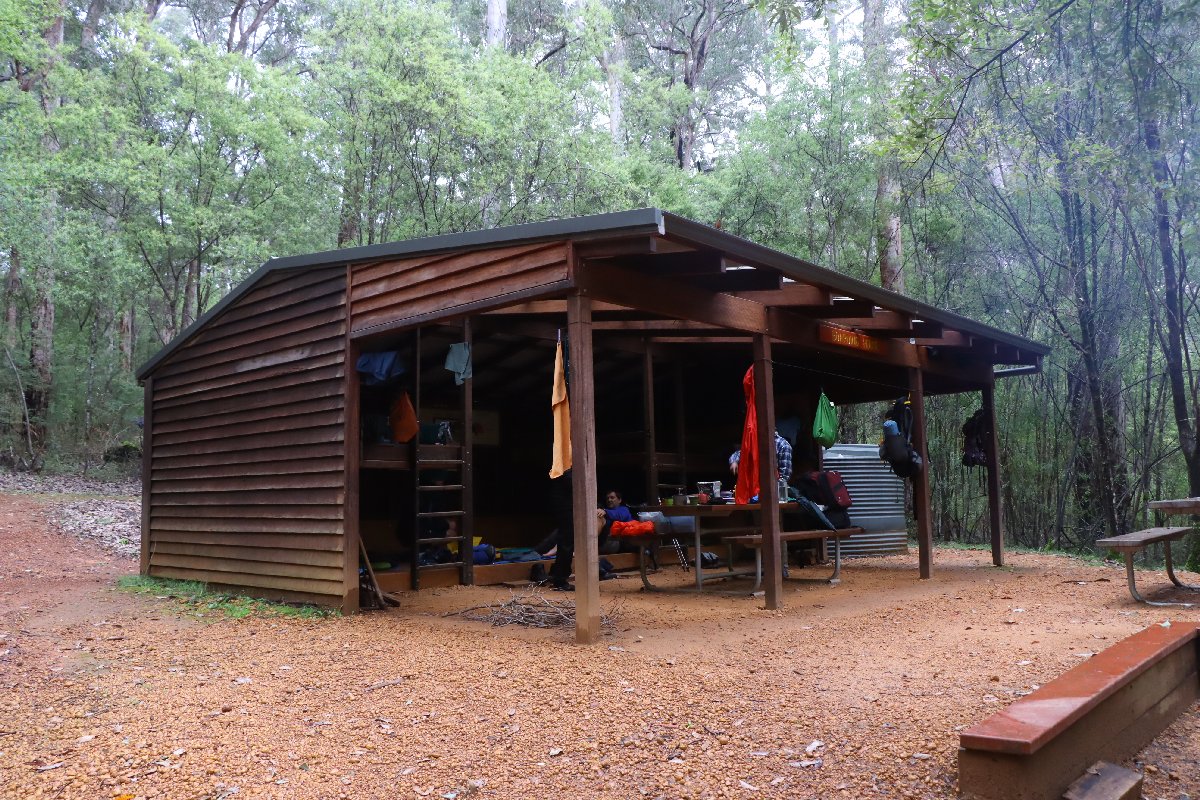
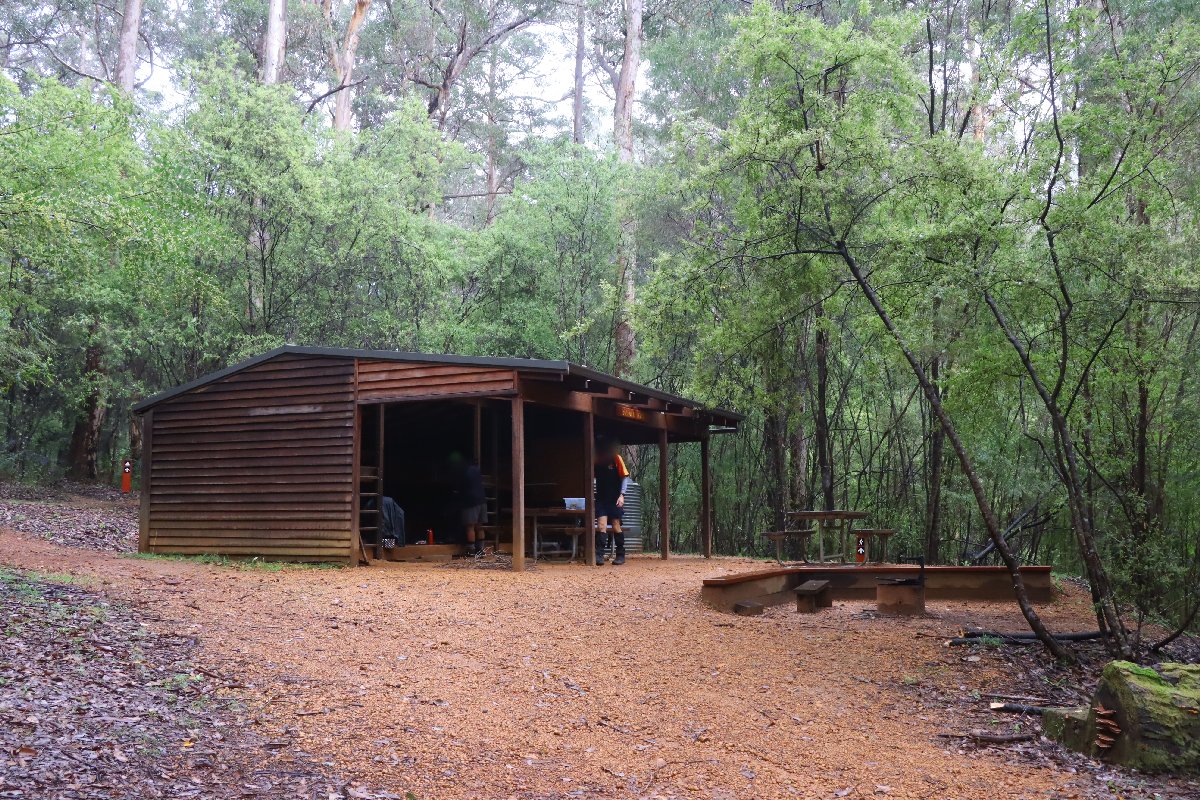
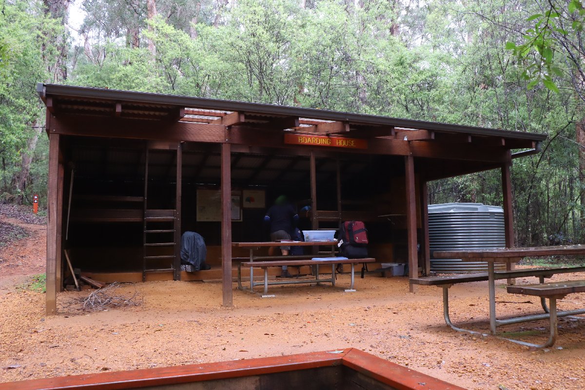
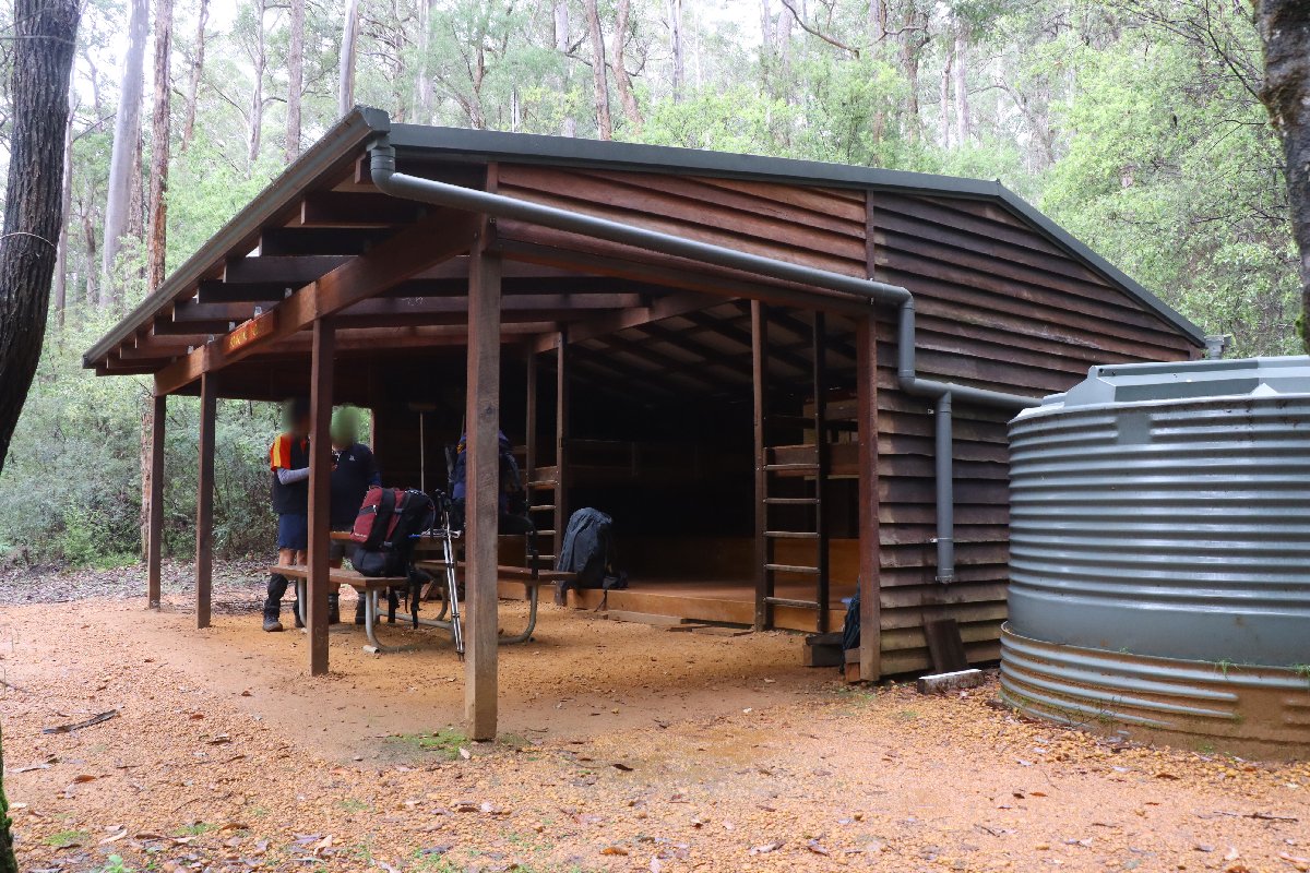
Boarding House
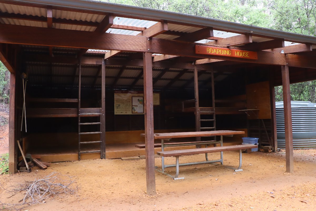
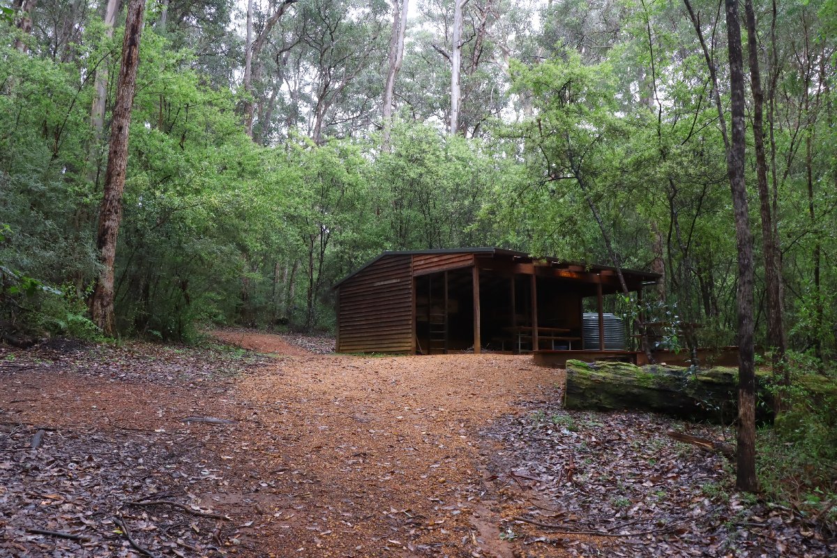
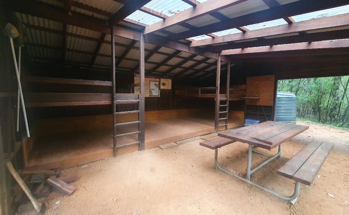
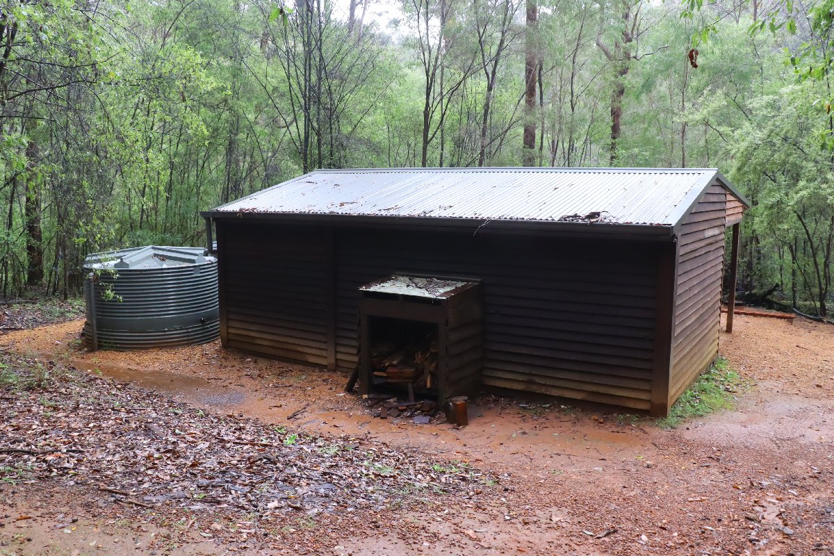
Hut #28 SOBO, Hut #22 NOBO. Configuration: Type 2 (Deep South). Distance from Tom Road: 23.5km. Distance to Beavis: 19.5km.
Like Tom Road Hut, this hut is situated in Karri forest by the Donnelly River. It was originally constructed as a Type 1B (Stretch) hut but has been converted into a Type 2. Nearby to this hut is the coolest bridge on the whole Bibbulmun Track!
Boarding House Hut
Boarding House Hut
Boarding House Hut
Boarding House Hut
Boarding House Hut
Boarding House Hut
Boarding House Hut
Boarding House Hut
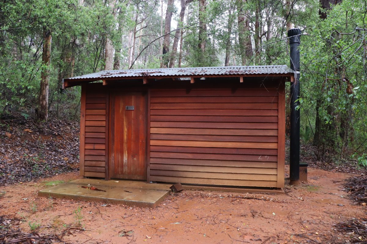
Boarding House Hut
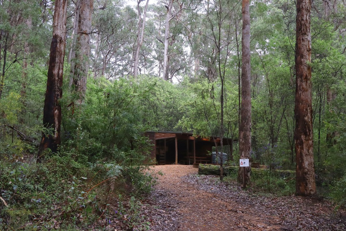
Boarding House Hut
Beavis
Hut #29 SOBO, Hut #21 NOBO. Configuration: Type 3 (Nornalup). Distance from Boarding House: 19.5km. Distance to Beedelup: 20.3km.
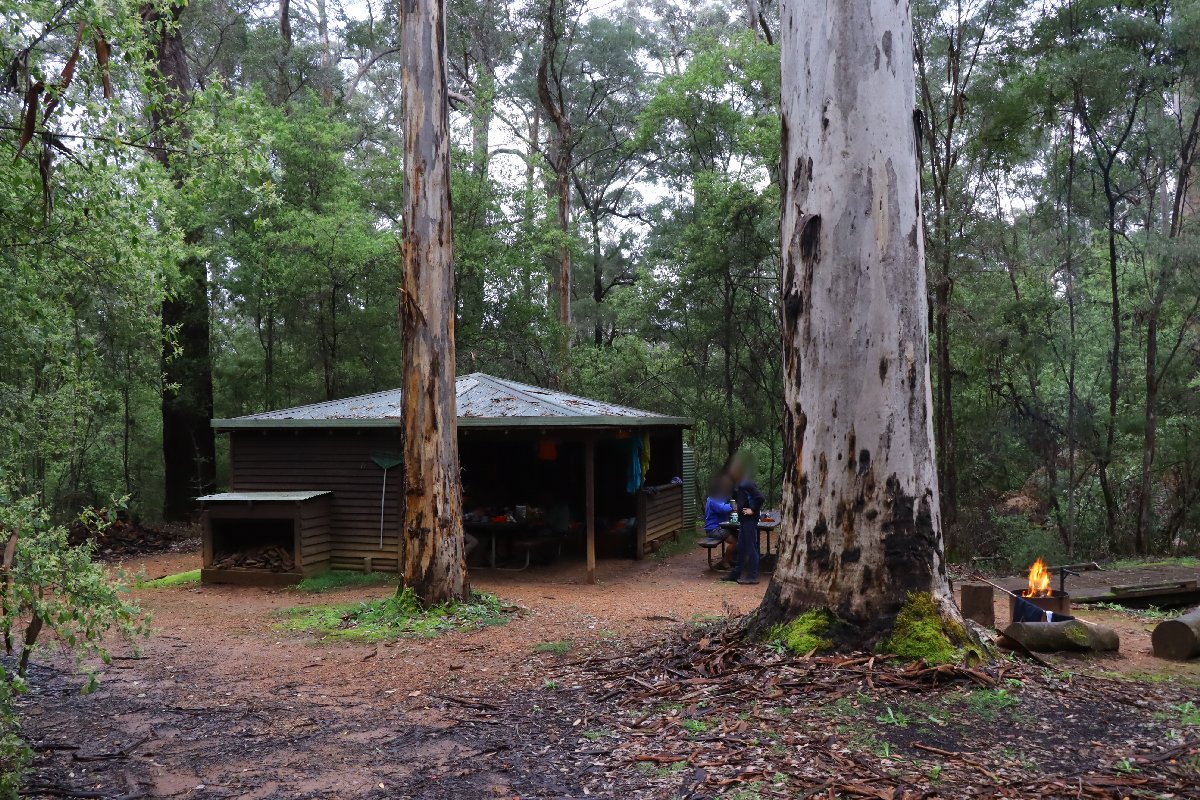
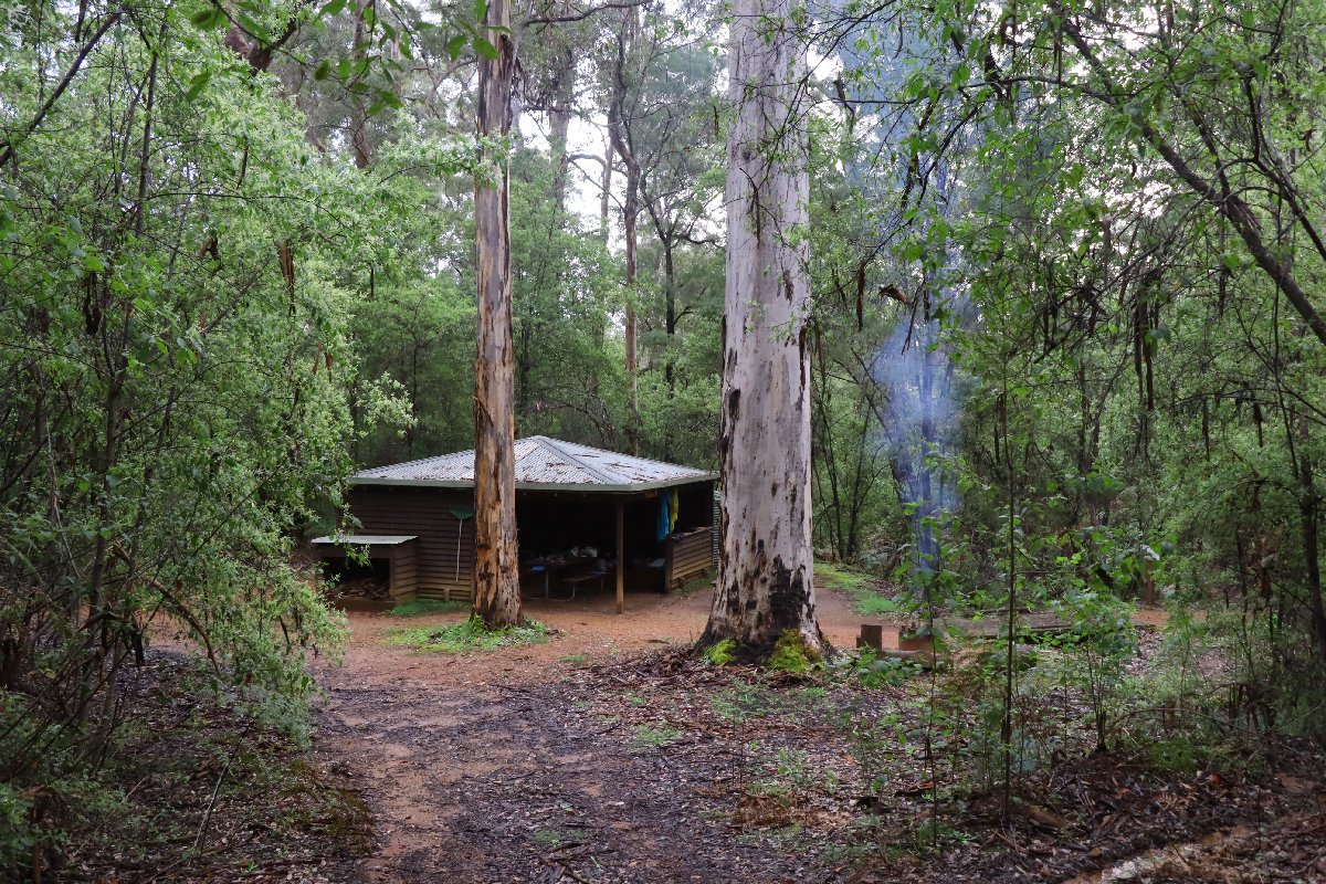
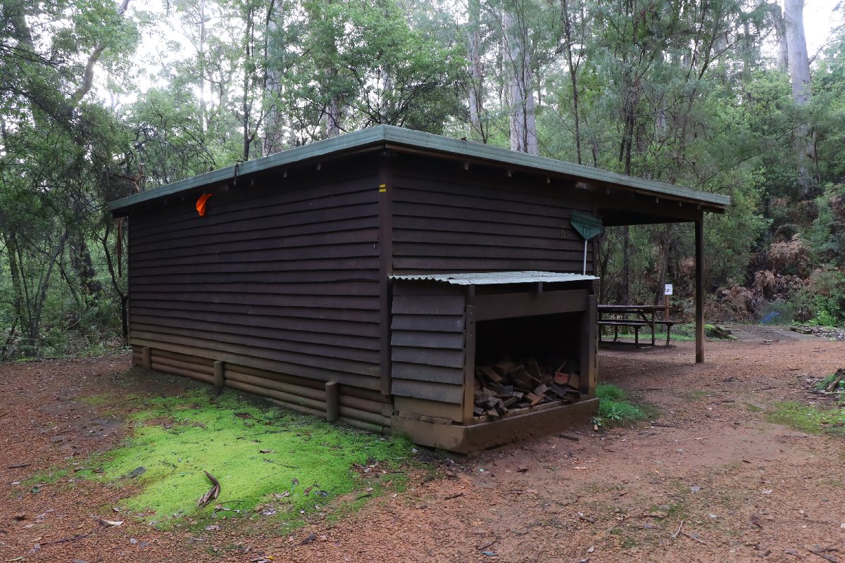
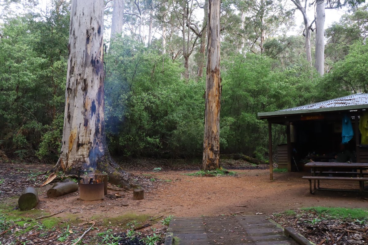
Beavis Hut is situated next to a small pool amongst large Karri trees. During September, it is just lovely - the creek is flowing, there is a small waterfall nearby and lots of orchids grow around the hut. Beavis is my favourite hut on the track. Beavis is the first of the timber Type 3 huts encountered by southbound hikers.
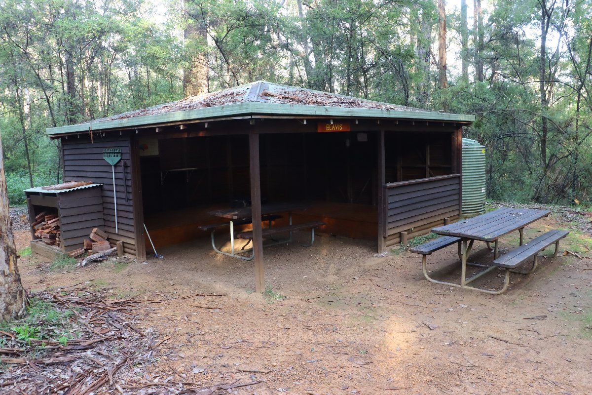
Beavis Hut
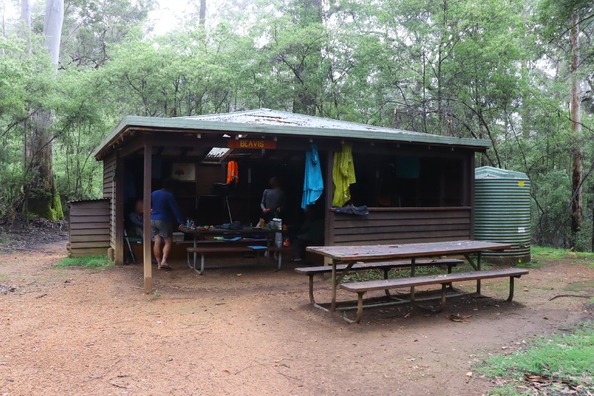
Beavis Hut
Beavis Hut
Beavis Hut
Beavis Hut
Beavis Hut
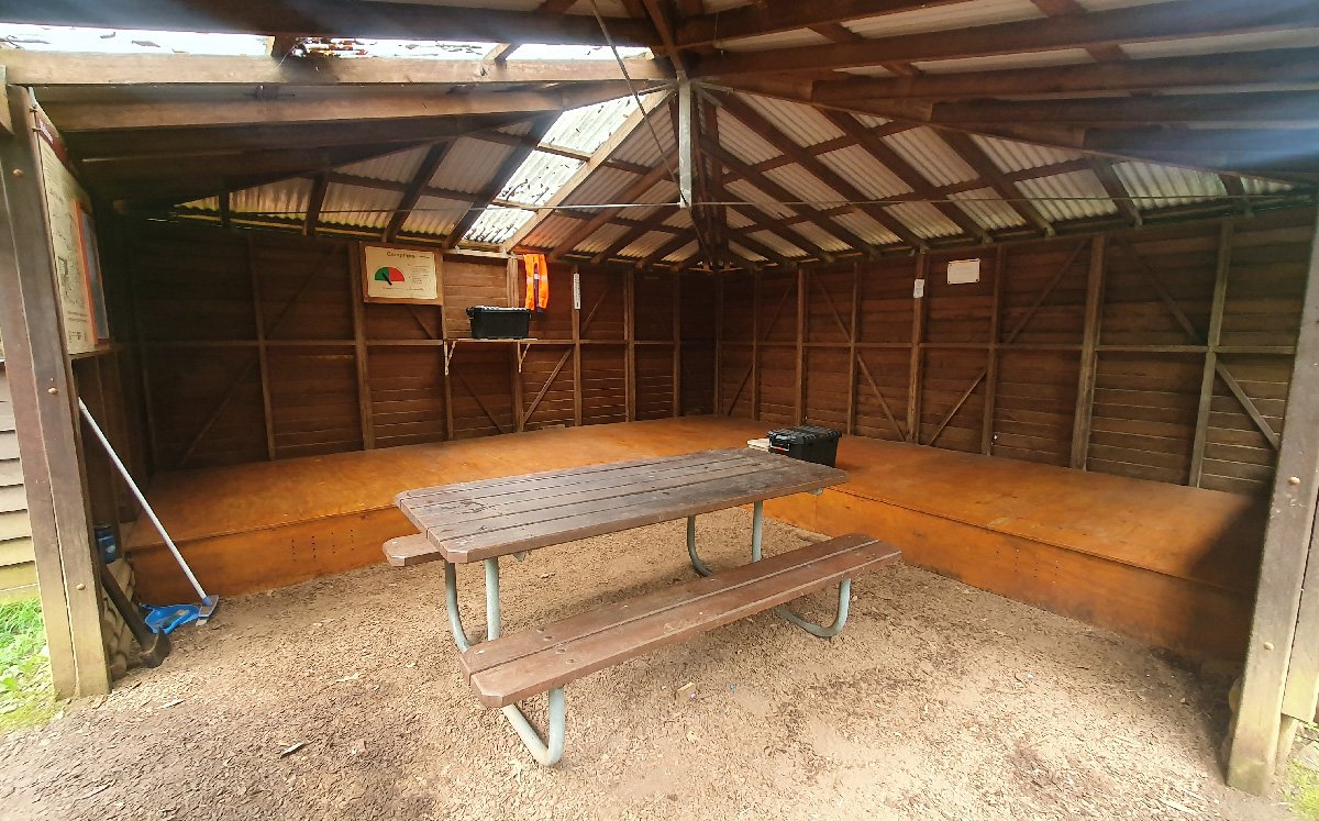
Beavis Hut
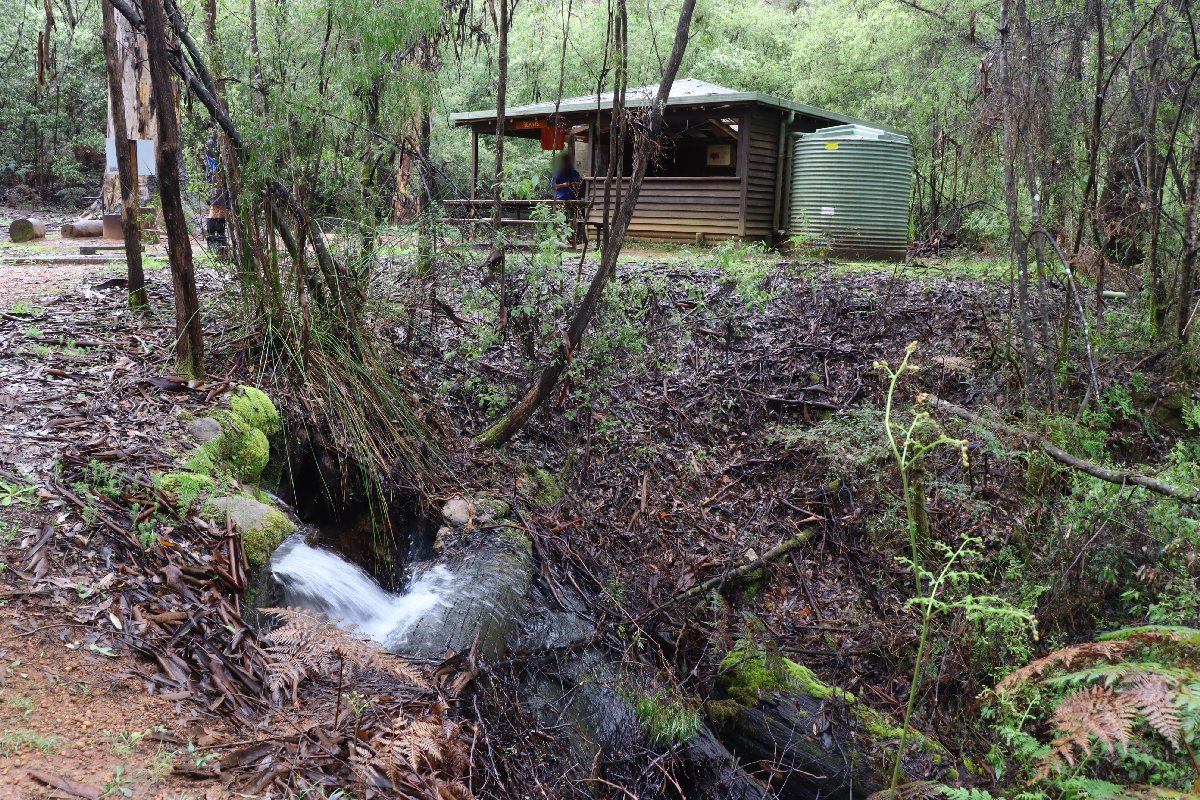
Beavis Hut
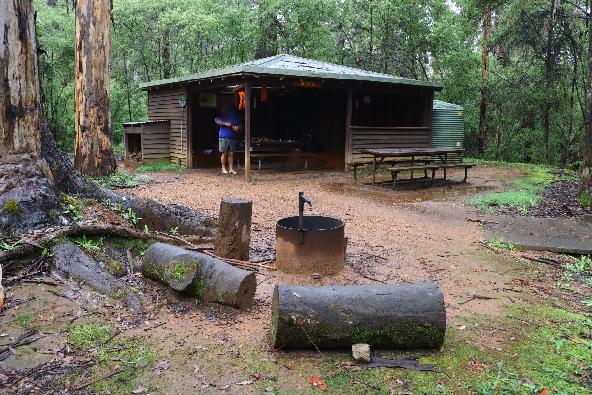
Beavis Hut
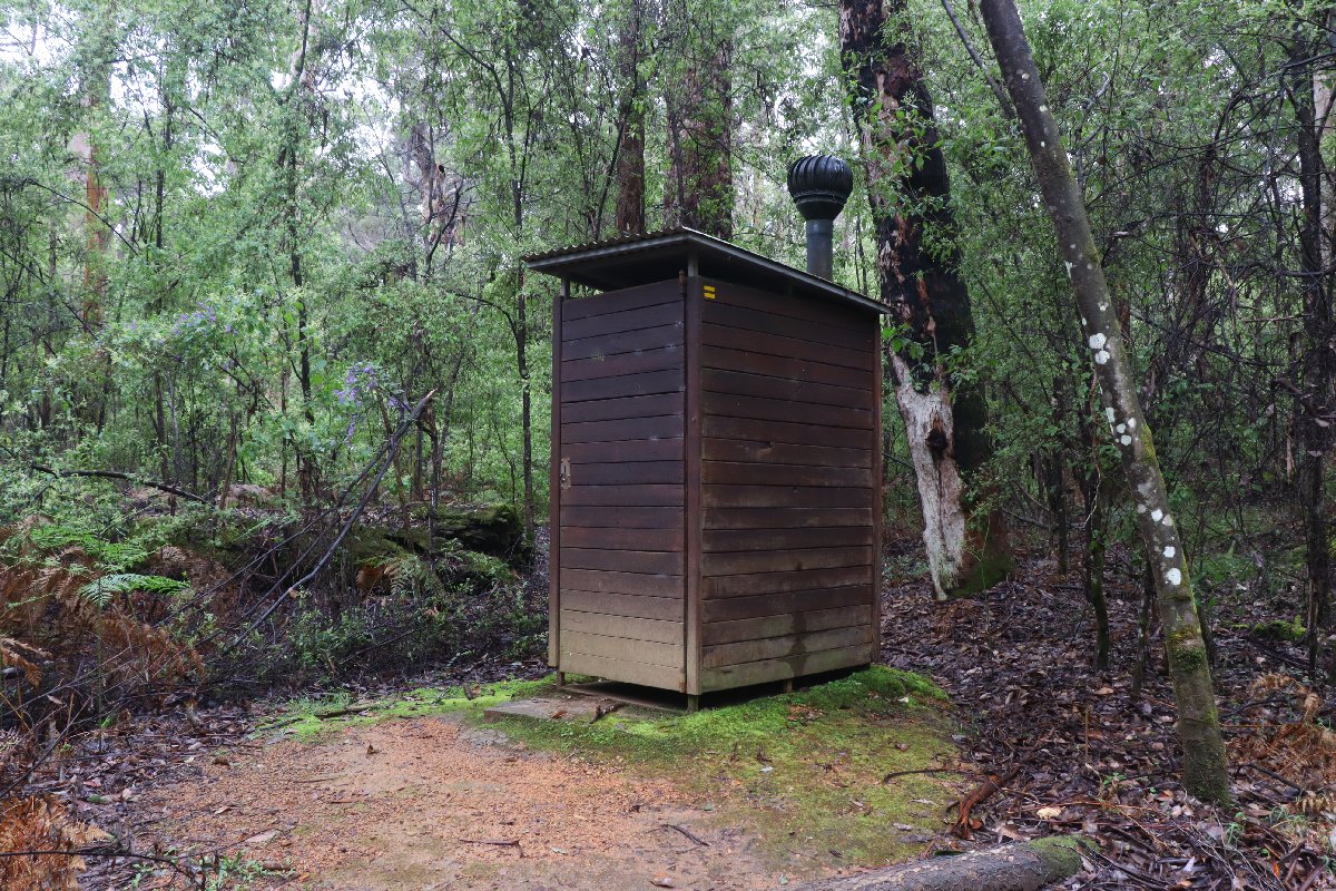
Beavis Hut
Beedelup
Hut #30 SOBO, Hut #20 NOBO. Configuration: Type 3 (Nornalup). Distance from Beavis: 20.3km. Distance to Pemberton: 24.0km.
This hut is located next to Beedelup Brook in Karri forest. In September, it is just lovely - the brook is flowing, the frogs are croaking, the orchids are flowering.
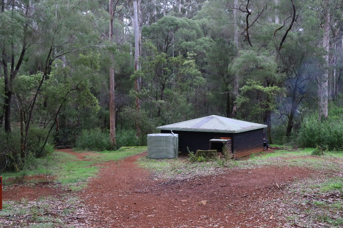
Beedelup Hut
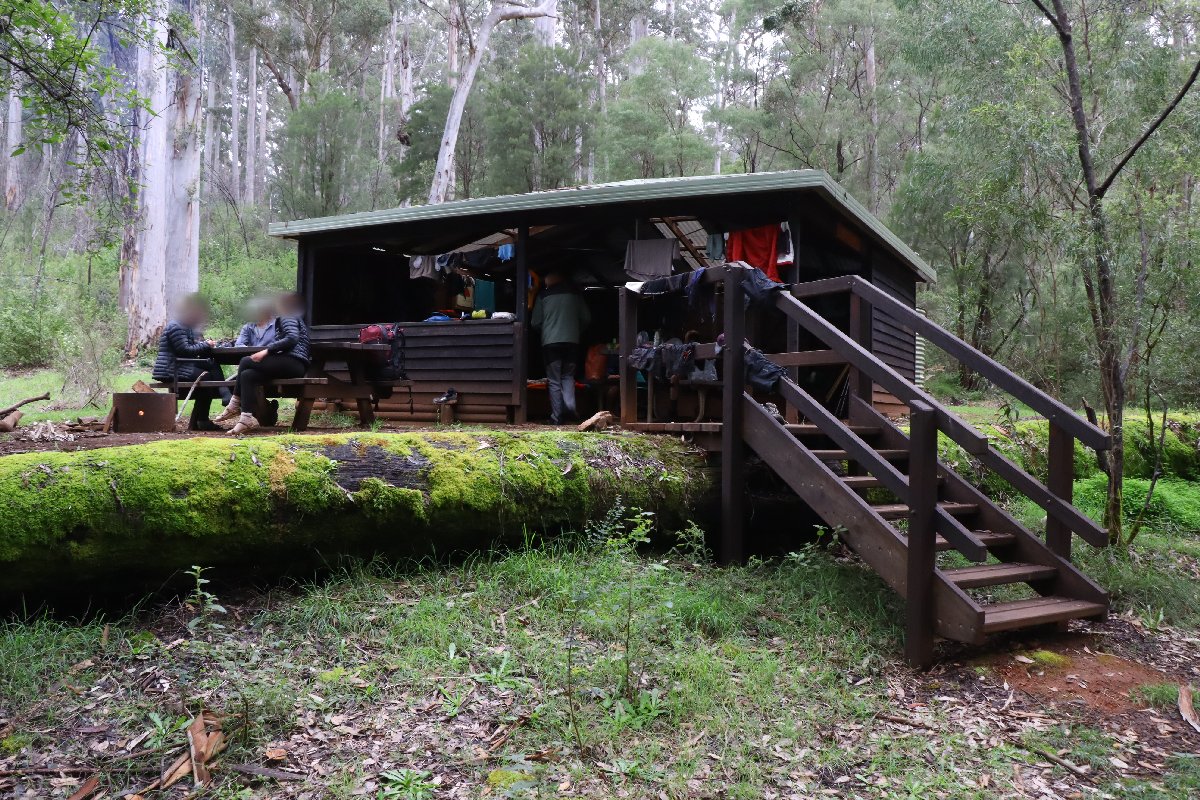
Beedelup Hut
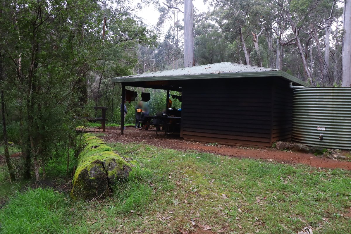
Beedelup Hut
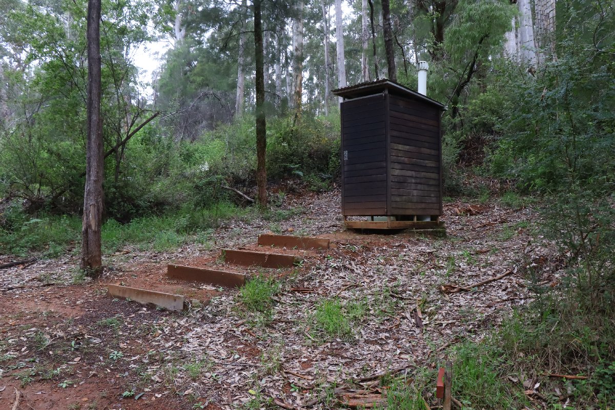
Beedelup Hut
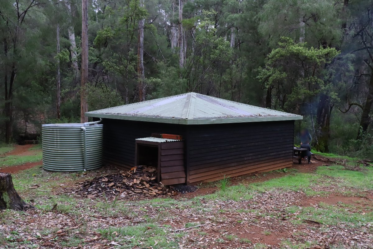
Beedelup Hut
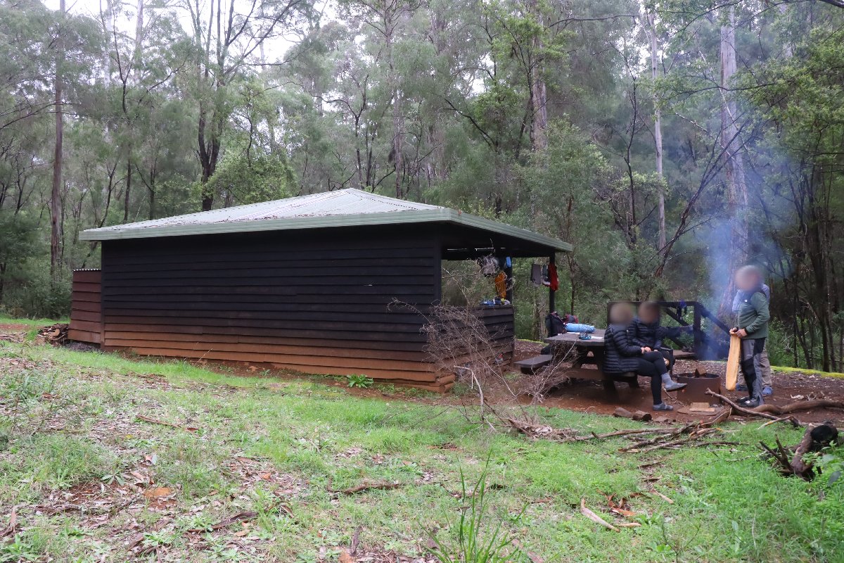
Beedelup Hut
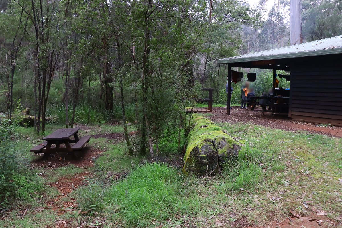
Beedelup Hut
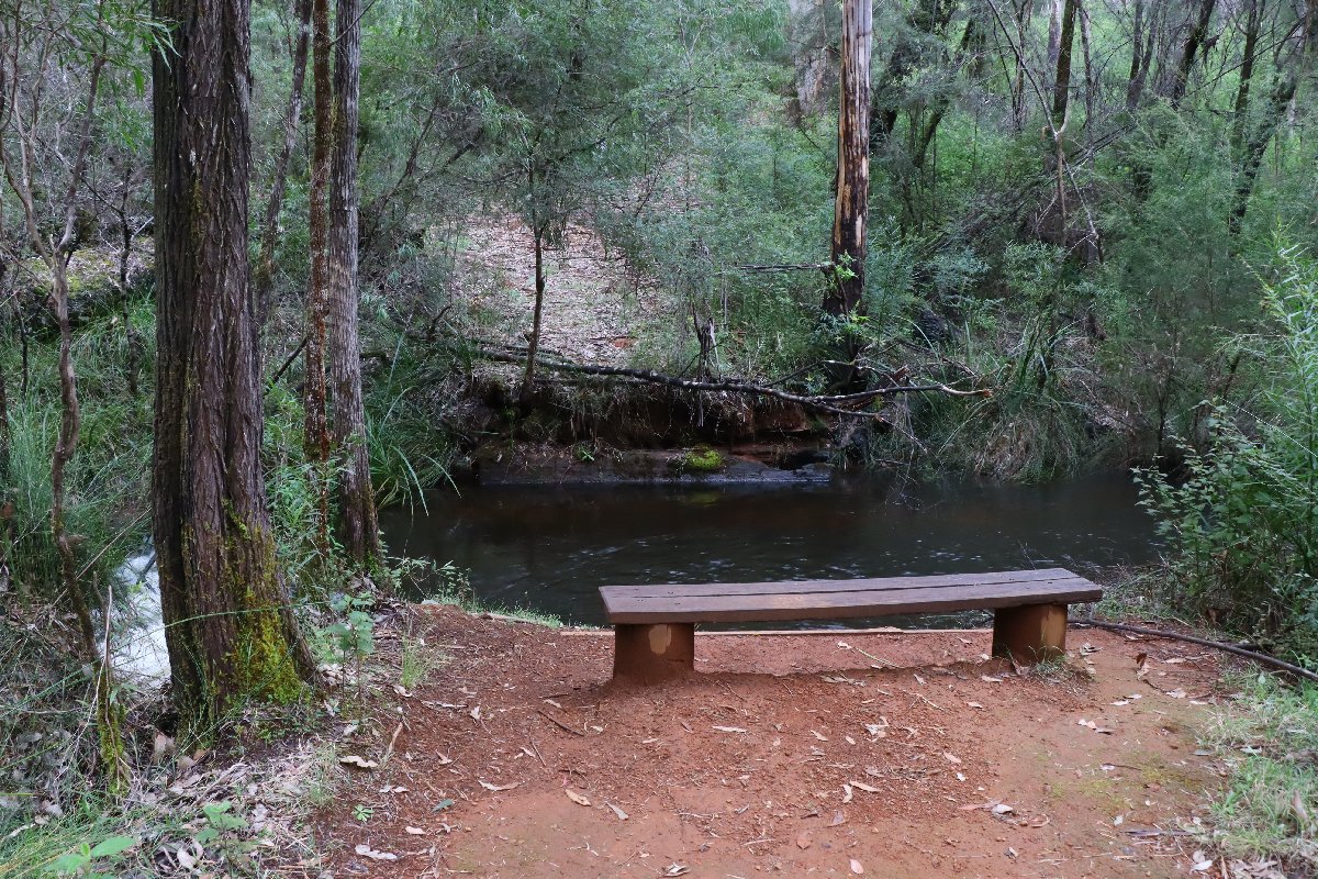
Beedelup Hut
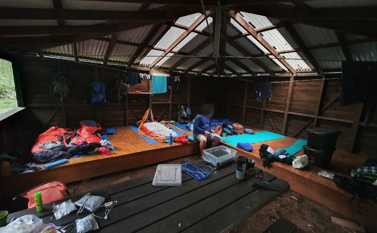
Beedelup Hut
Warren
Hut #31 SOBO, Hut #19 NOBO. Configuration: Type 2 (Deep South). Distance from Pemberton: 20.0km. Distance to Schafer: 24.0km.
This hut is located on the top of a hill in dense Karri forest.
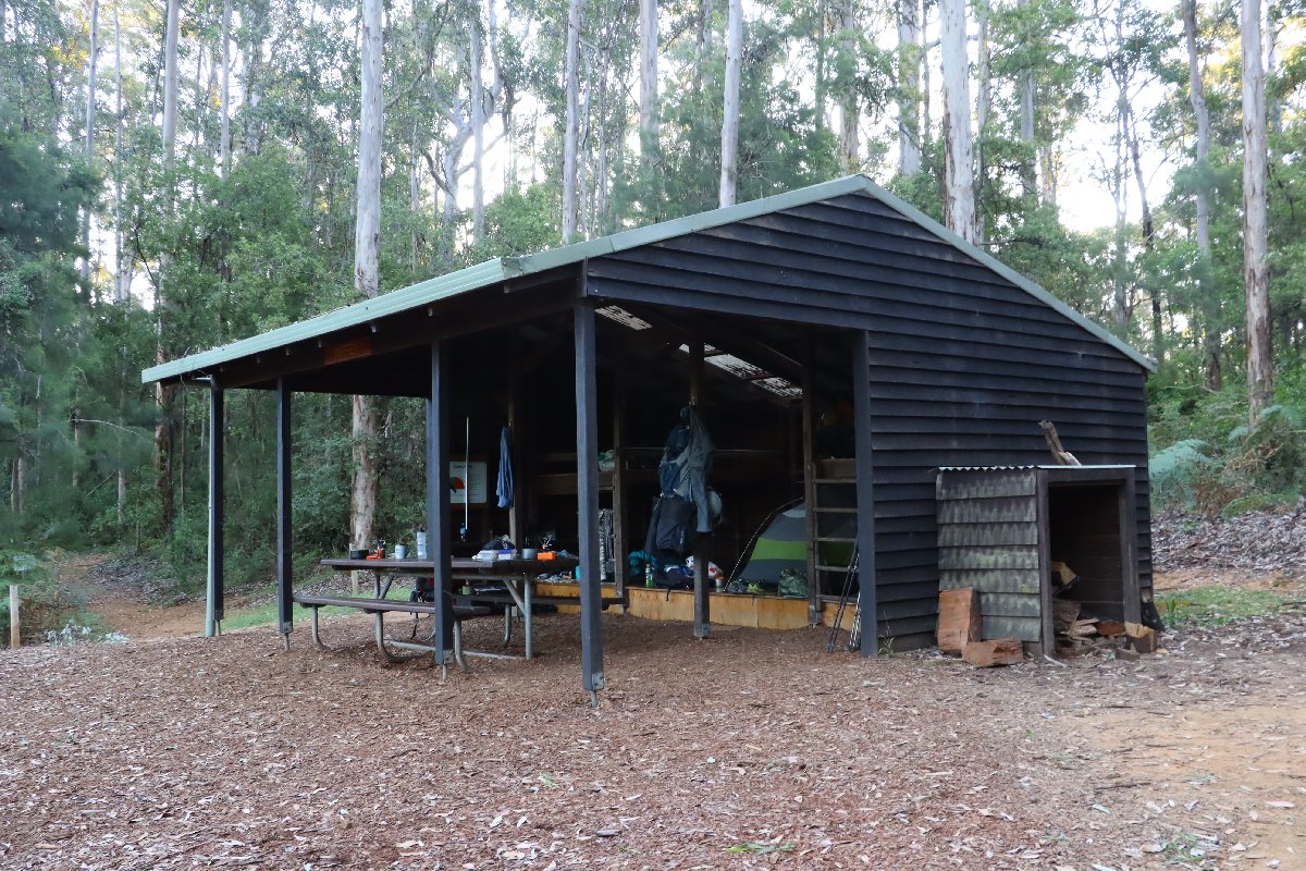
Warren Hut
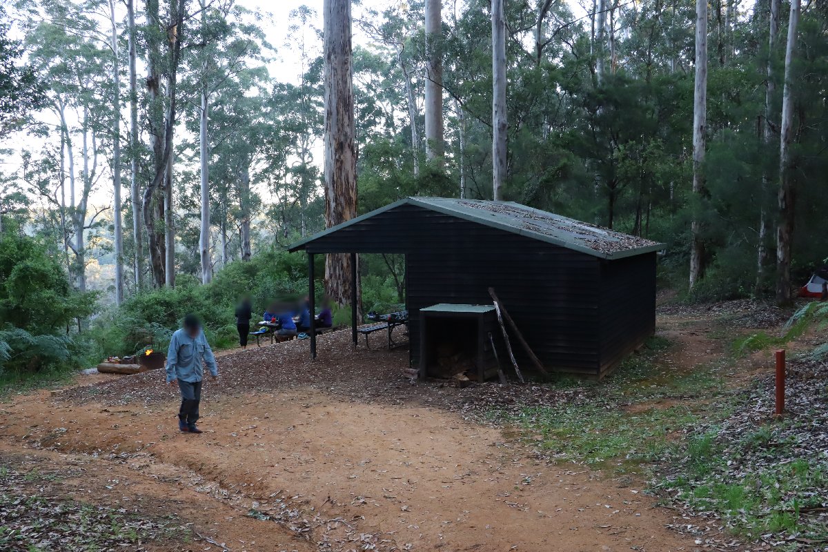
Warren Hut
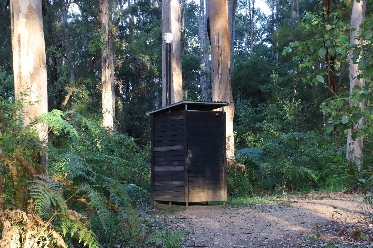
Warren Hut
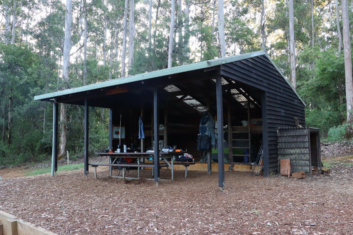
Warren Hut
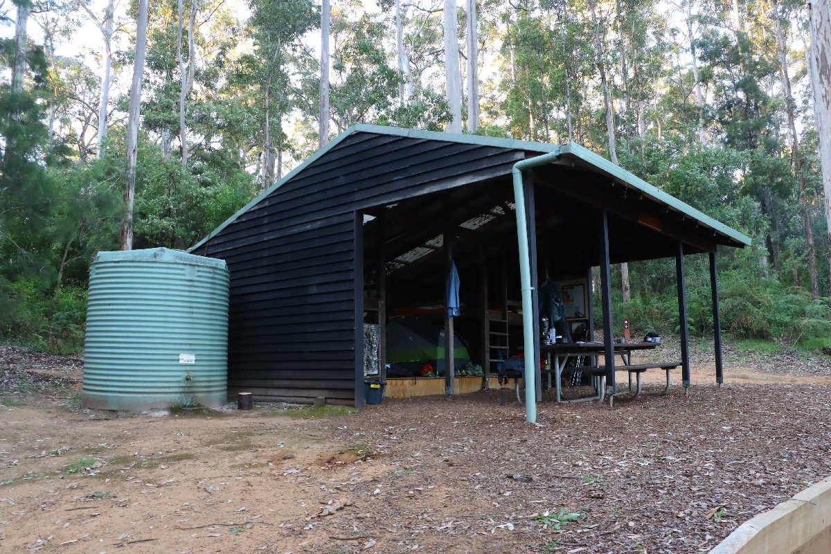
Warren Hut
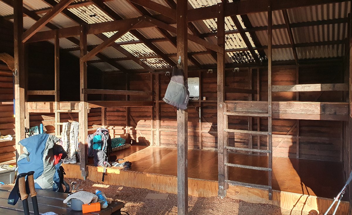
Warren Hut
Schafer
Hut #32 SOBO, Hut #18 NOBO. Configuration: Type 2 (Deep South). Distance from Warren: 24.0km. Distance to Northcliffe: 14.5km.
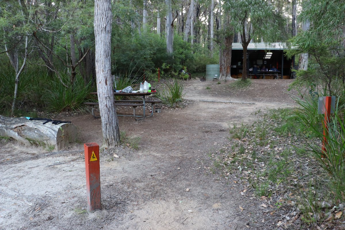
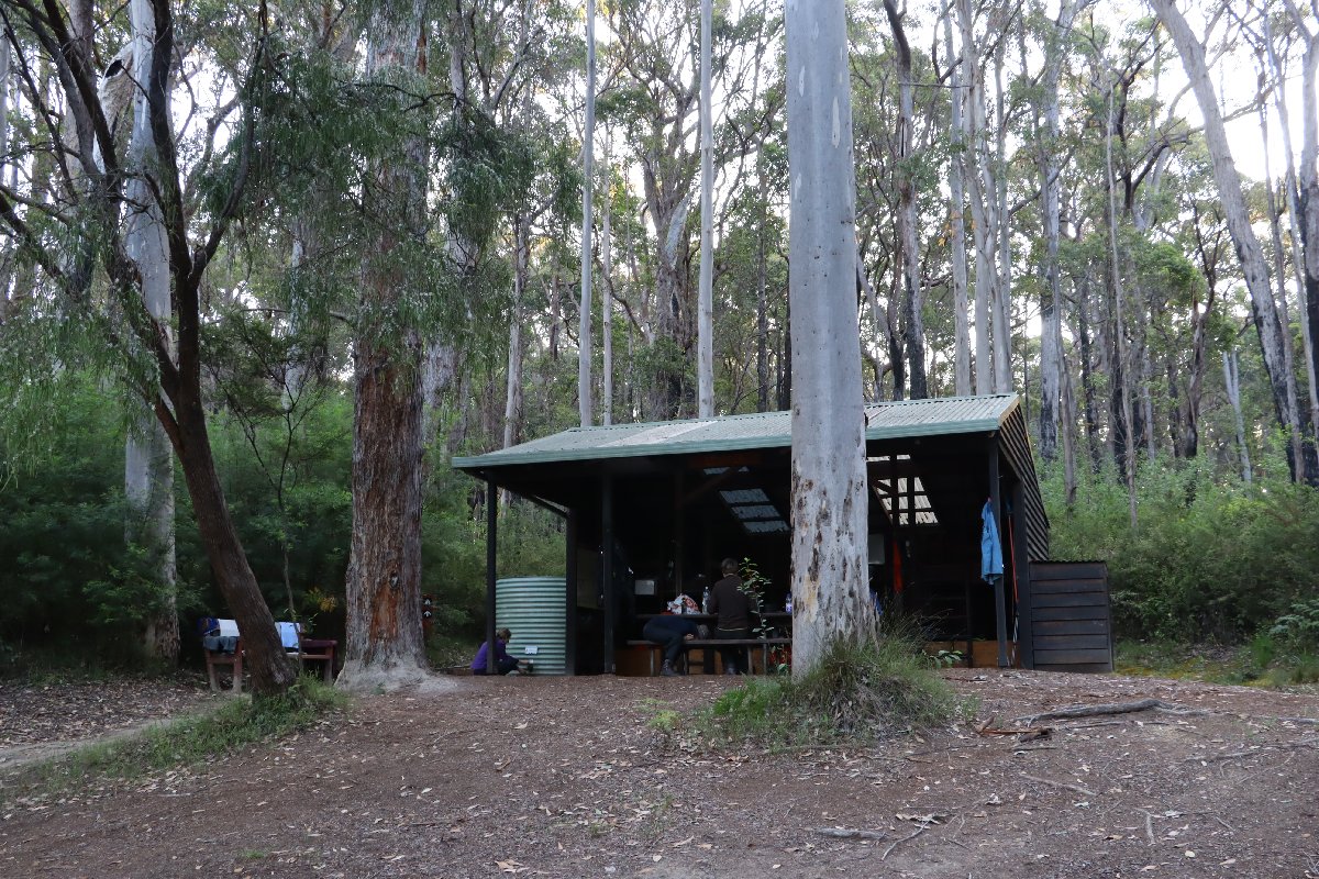
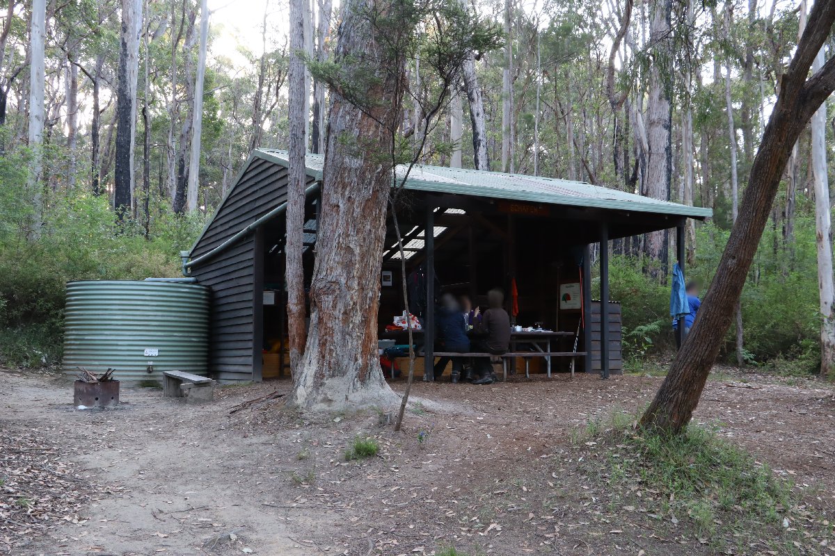
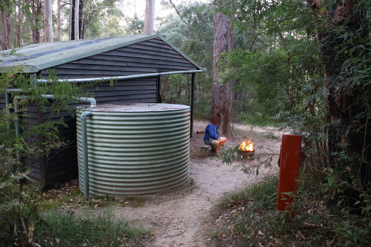
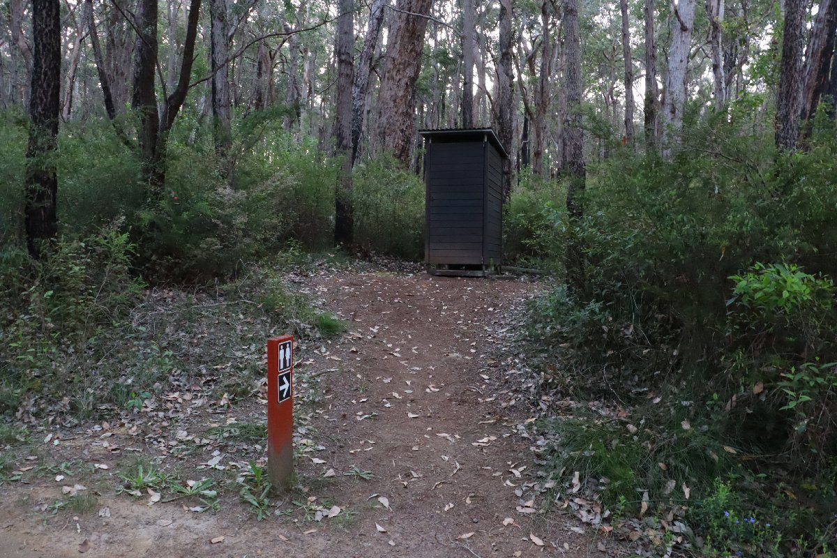
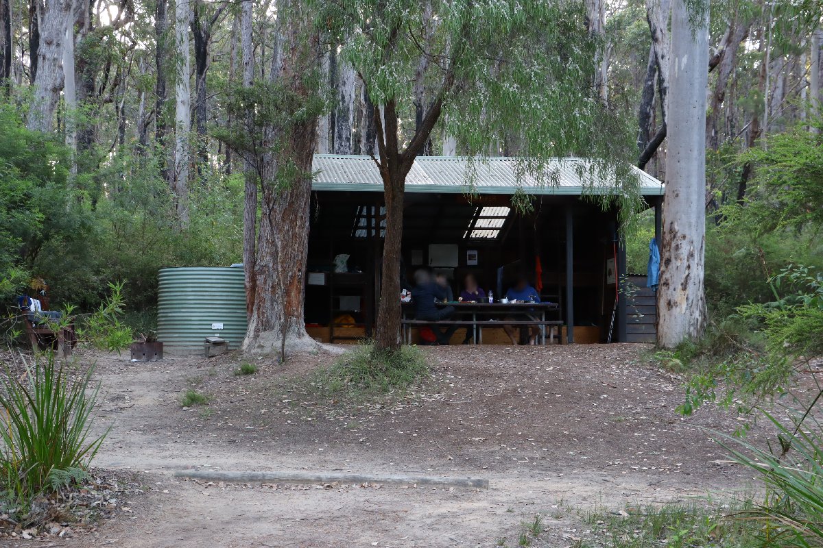
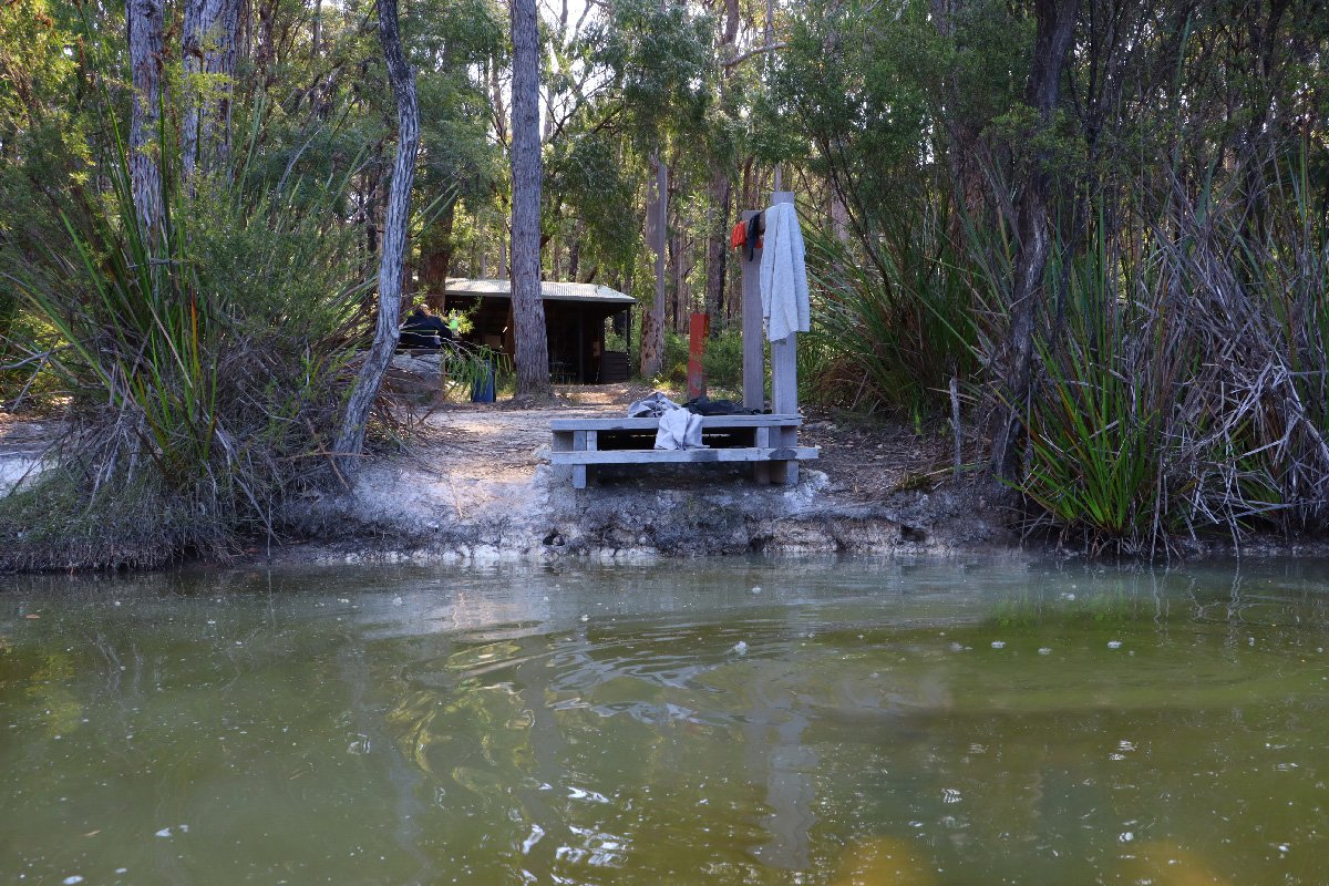
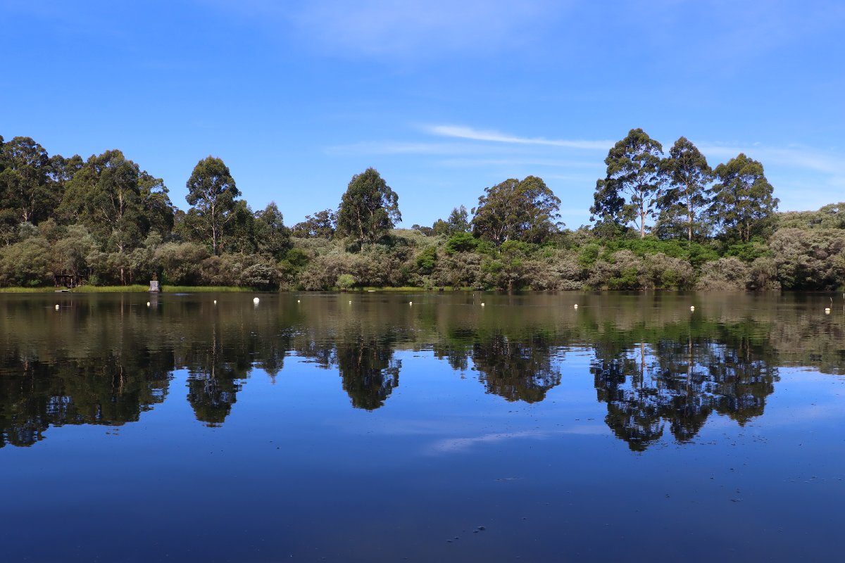
In this hiker's opinion, this is one of the best huts on the track. It is located in mixed Karri/Jarrah forest next to a dam. A section of the dam is available for swimming. Schafer is the last of the Type 2 huts that southbound hikers will encounter. All huts south of Schafer are of the Type 3 (Nornalup) configuration.
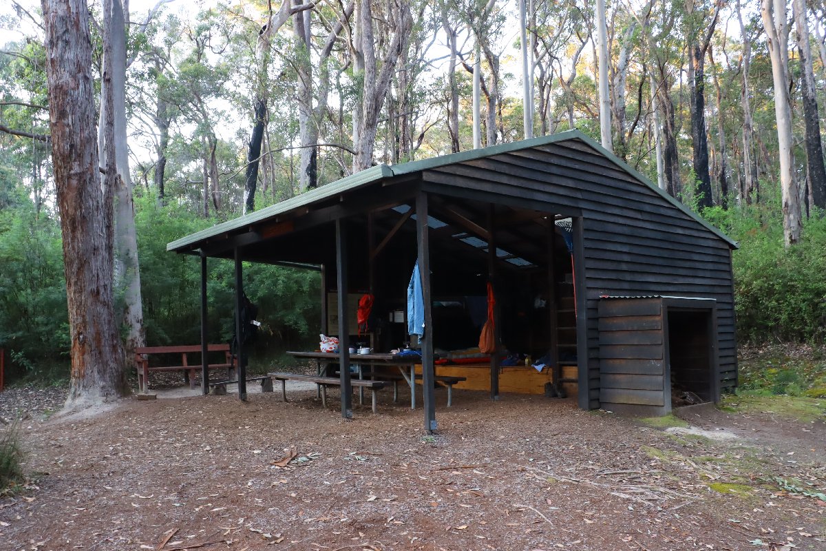
Schafer Hut
Schafer Hut
Schafer Hut
Schafer Hut
Schafer Hut
Schafer Hut
Schafer Hut
Schafer Hut
Schafer Hut
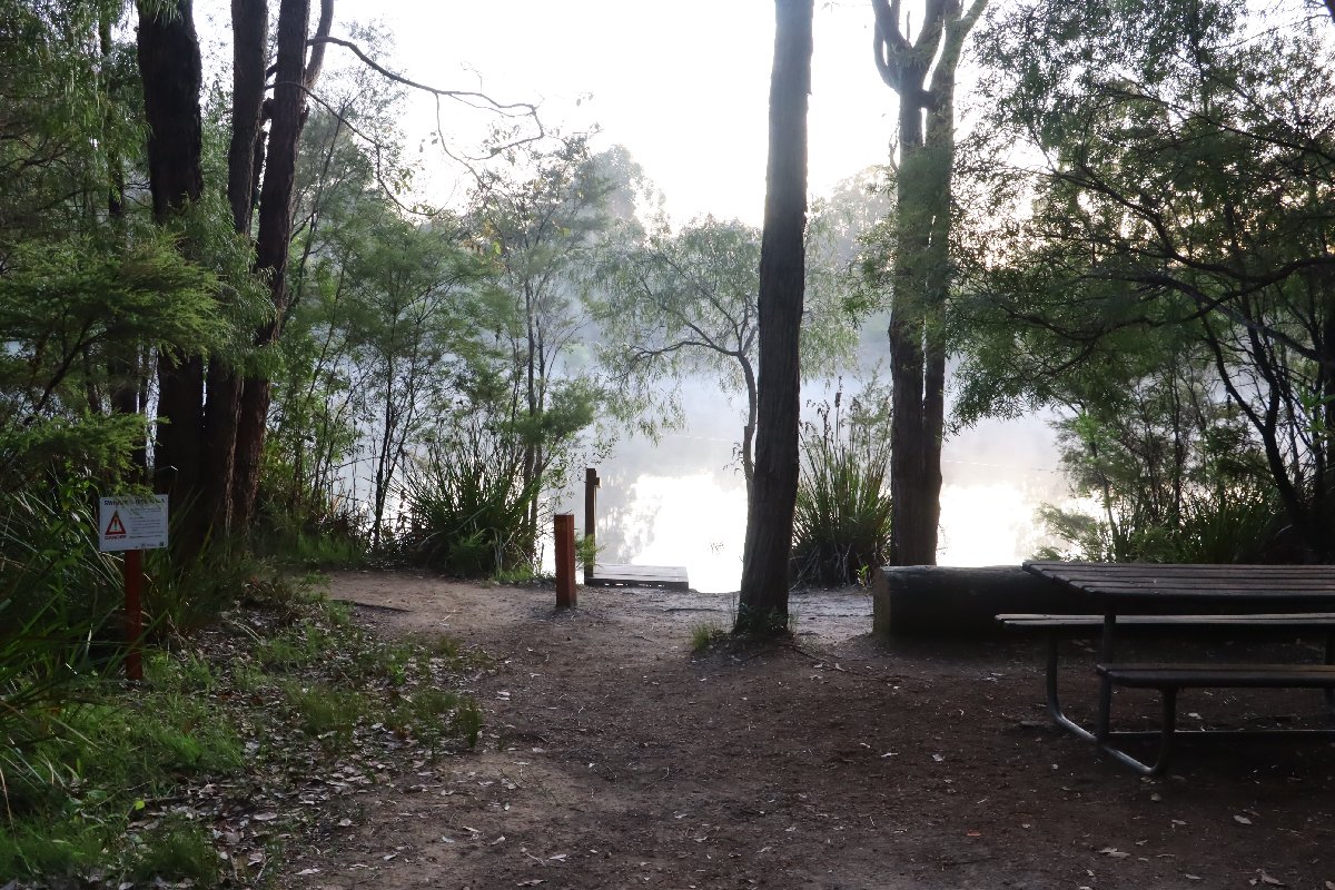
Schafer Hut
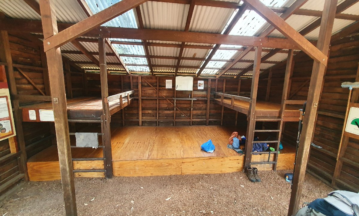
Schafer Hut
Gardner
Hut #33 SOBO, Hut #17 NOBO. Configuration: Type 3 (Nornalup). Distance from Northcliffe: 15.7km. Distance to Lake Maringup: 16.1km.
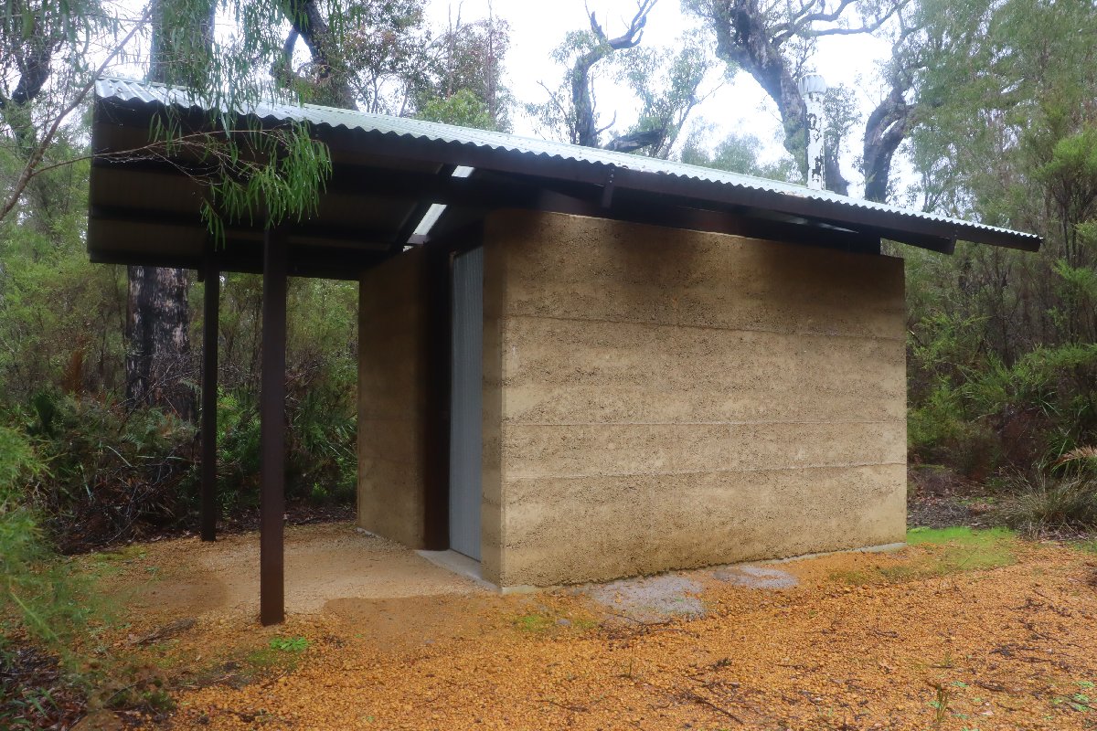
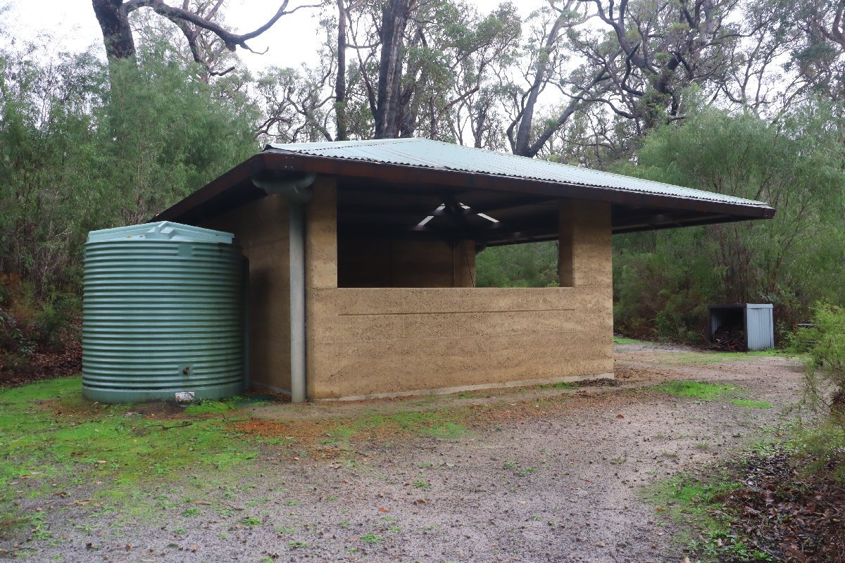
This hut is situated near the Gardner River with a lovely hidden picnic table next to the river a short distance from the hut. This hut was destroyed in a bushfire in 2015. It has been rebuilt as a rammed earth Type 3 hut.
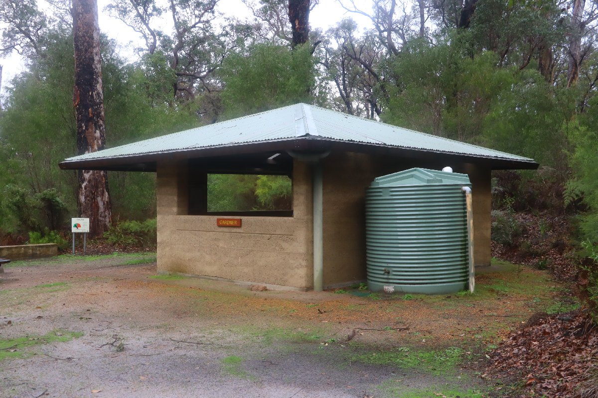
Gardner Hut
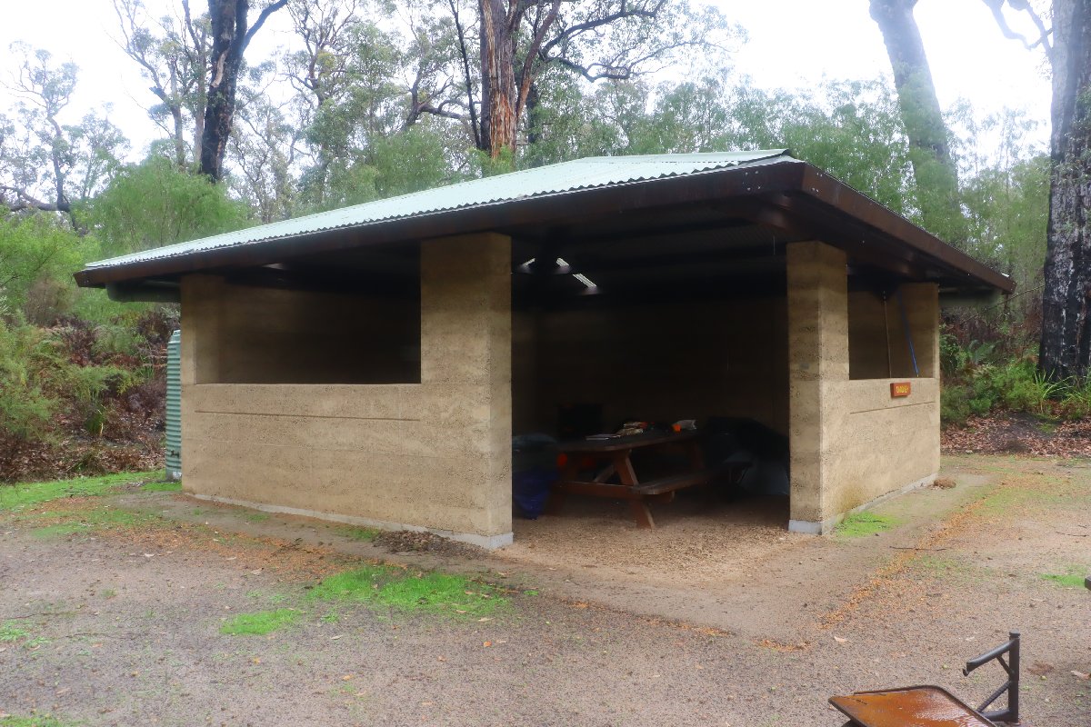
Gardner Hut
Gardner Hut
Gardner Hut
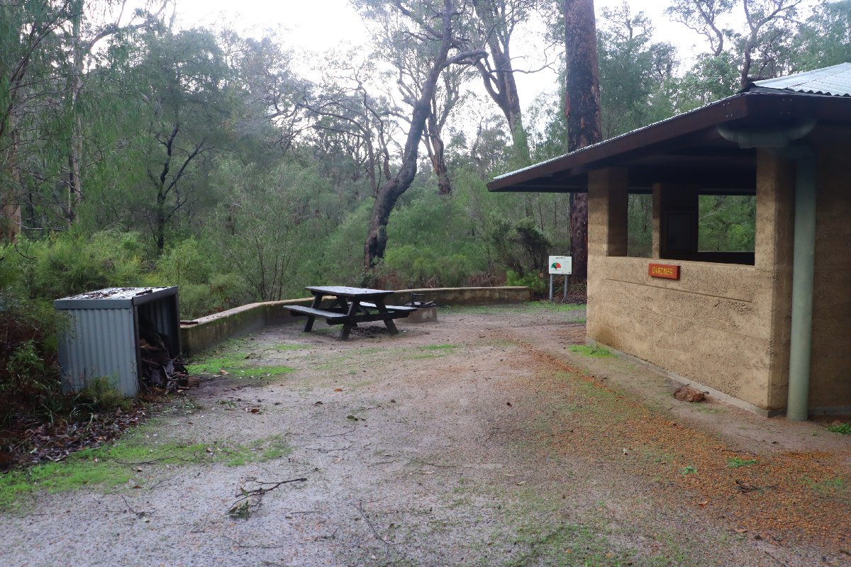
Gardner Hut
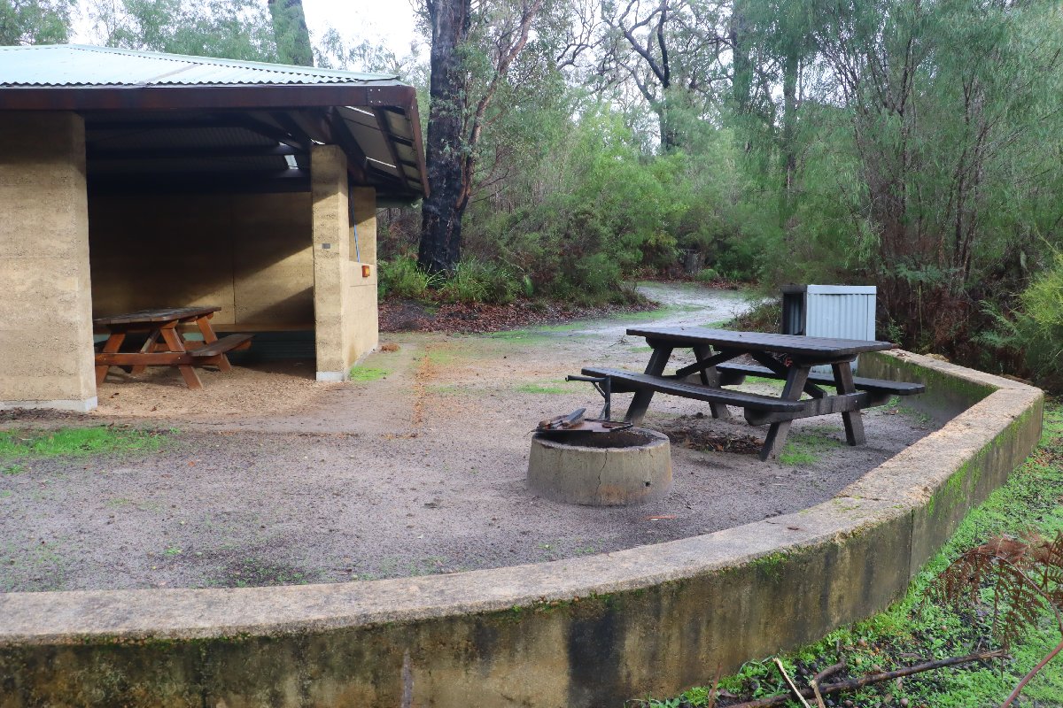
Gardner Hut
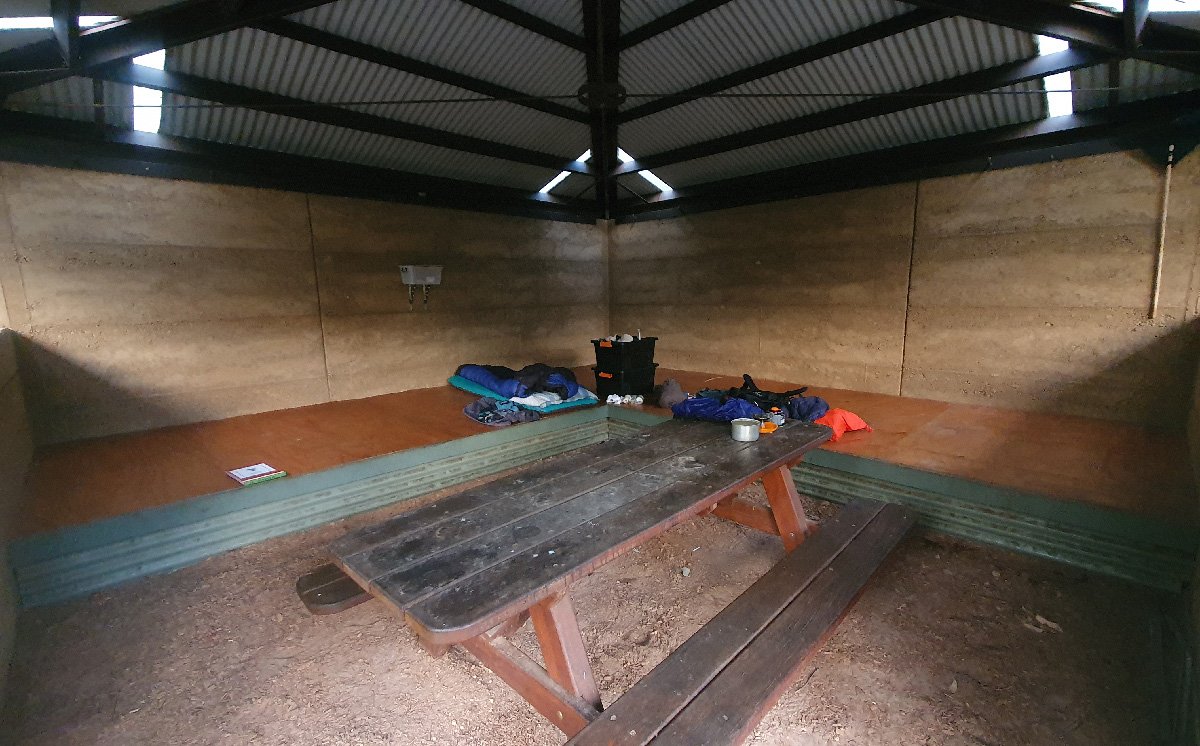
Gardner Hut
Lake Maringup
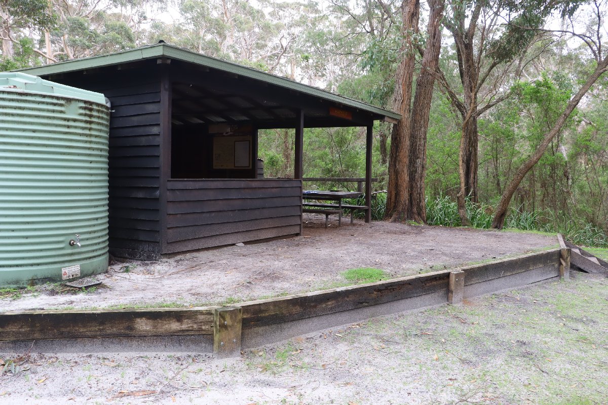
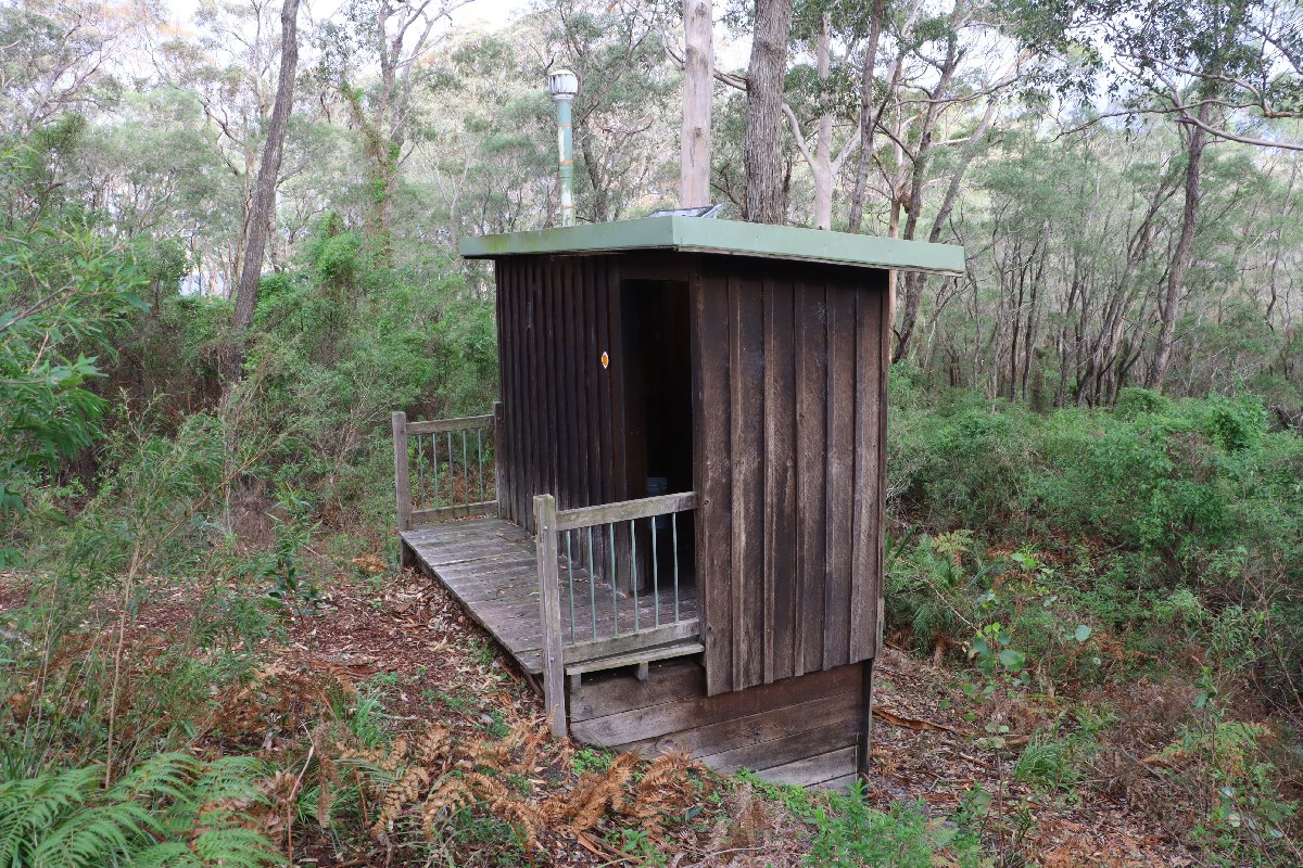
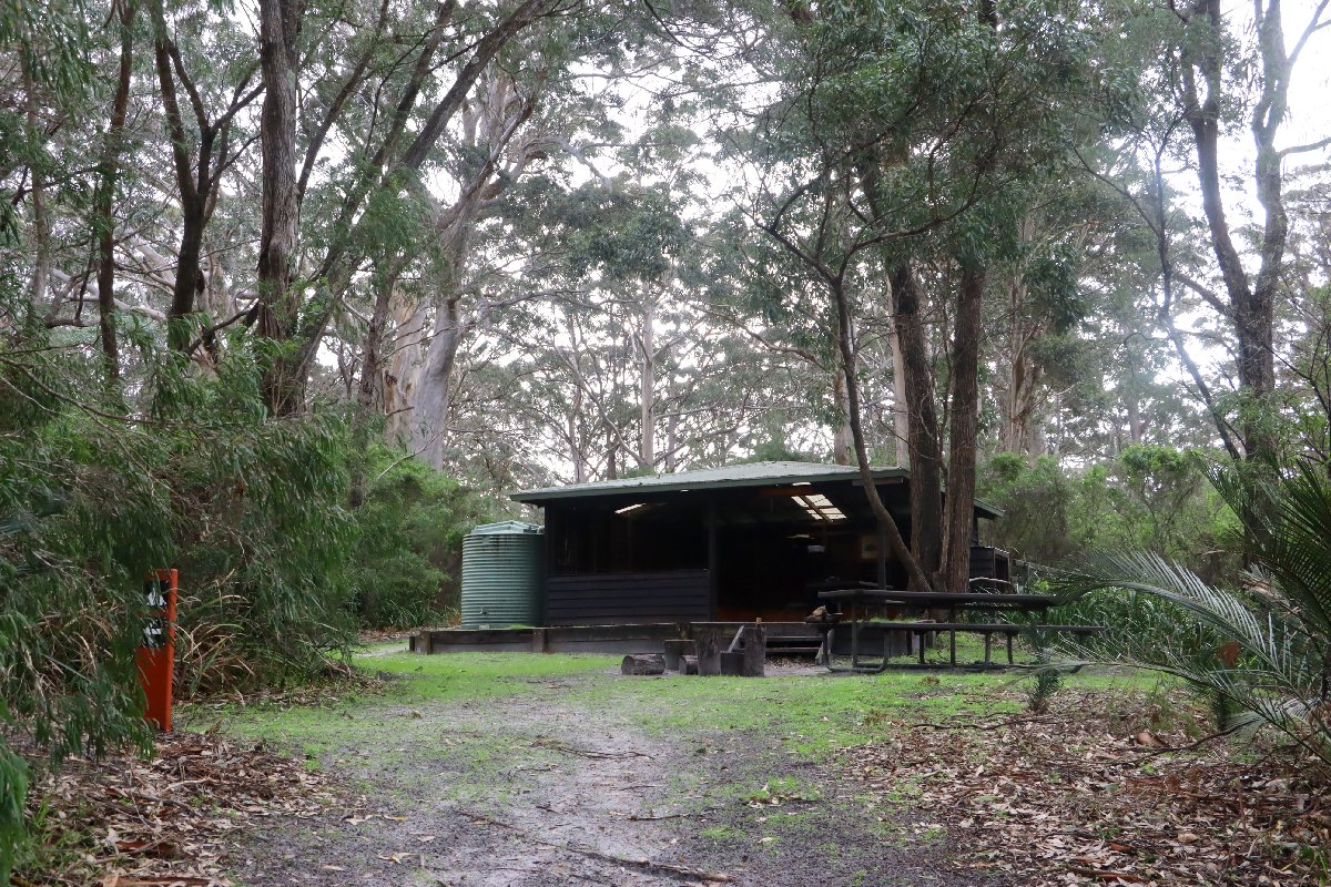
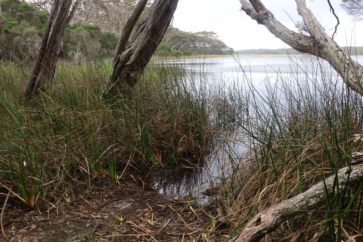
Hut #34 SOBO, Hut #16 NOBO. Configuration: Type 3 (Nornalup). Distance from Gardner: 16.1km. Distance to Dog Pool: 25.6km.
This hut is named after the lake that it is located next to. It is a lovely hut. During winter, this hut is often closed as the track floods easily in this section.
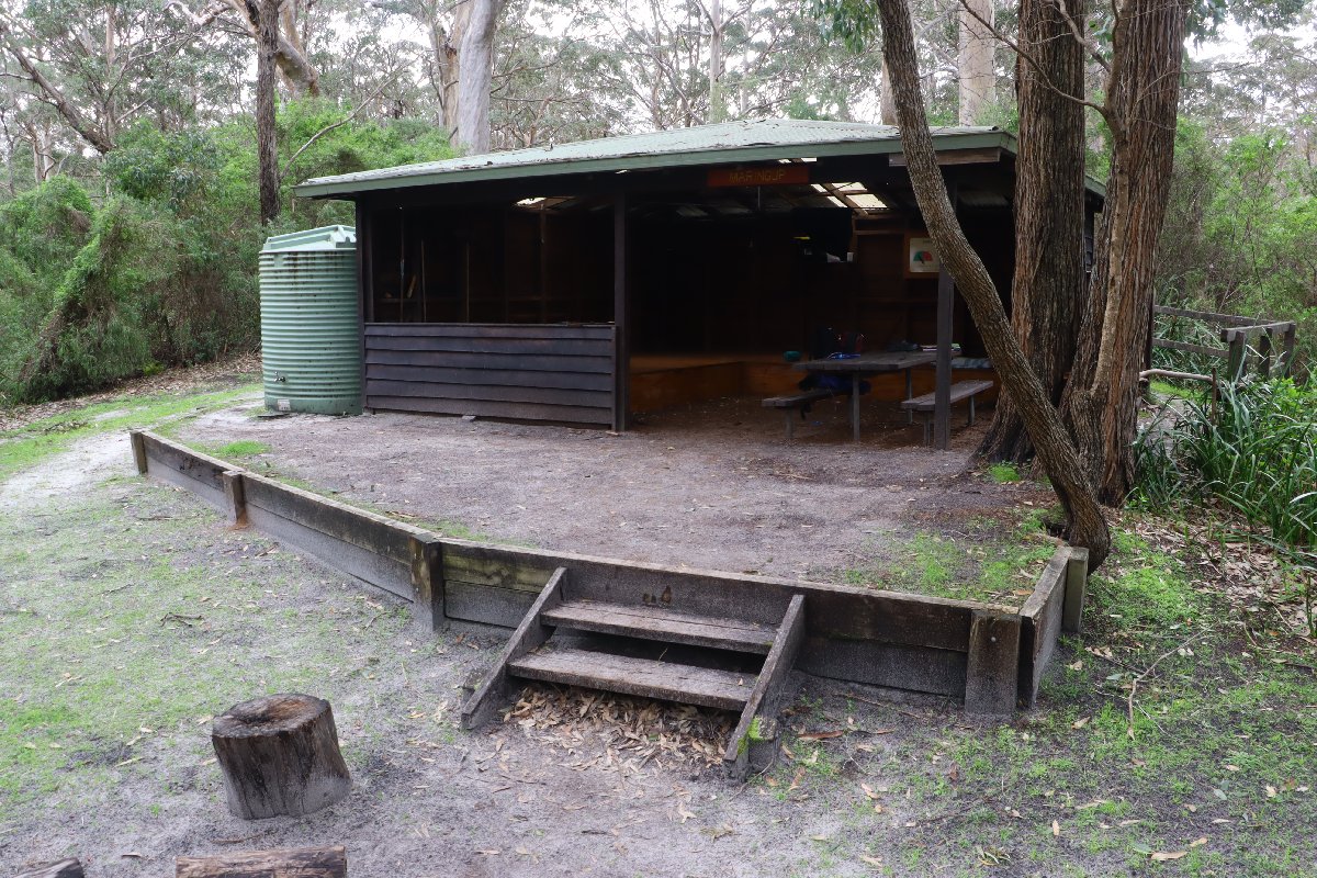
Lake Maringup Hut
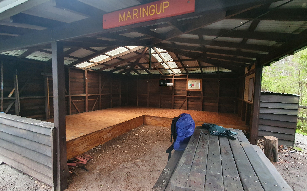
Lake Maringup Hut
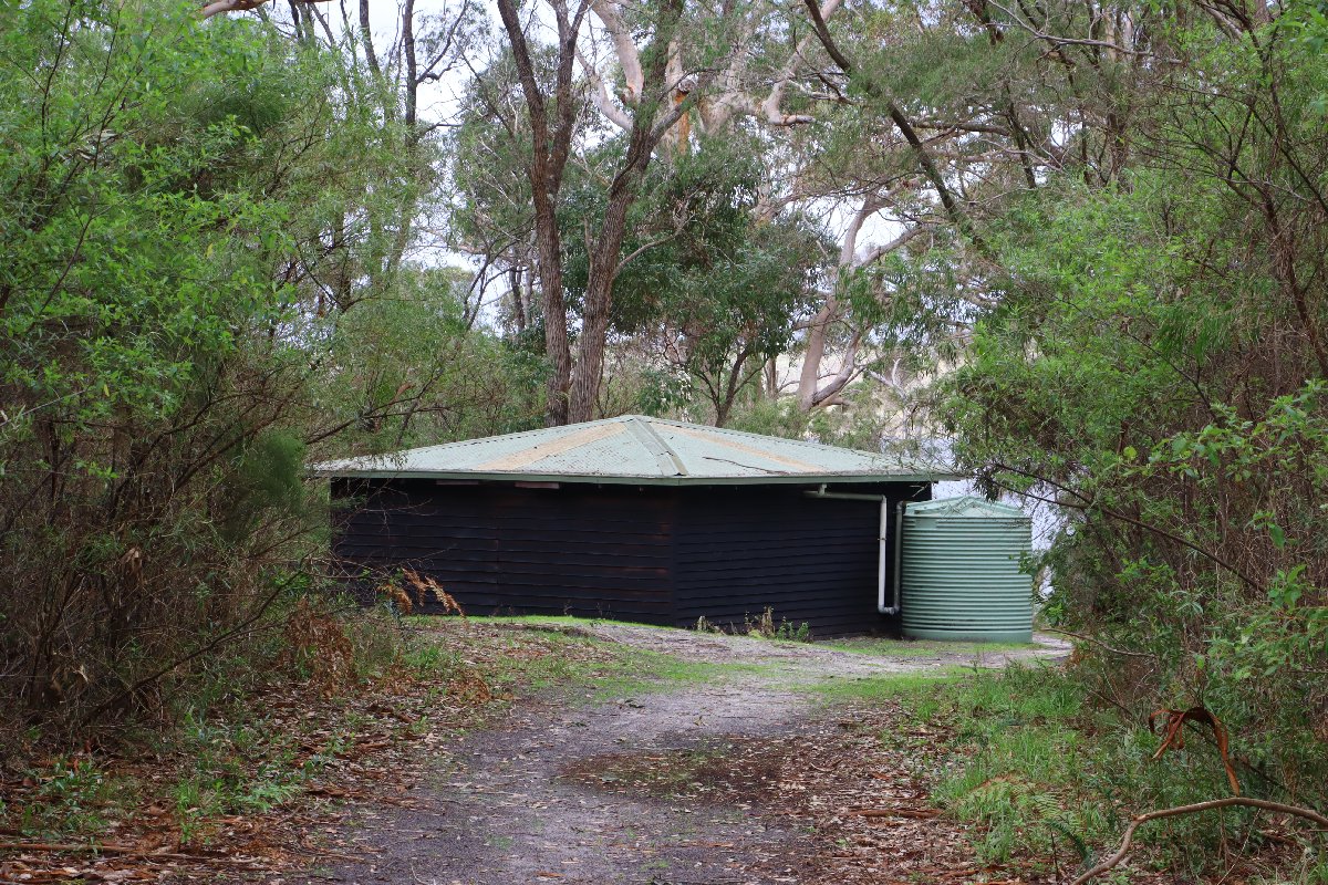
Lake Maringup Hut
Lake Maringup Hut
Lake Maringup Hut
Lake Maringup Hut
Lake Maringup Hut
Dog Pool
Hut #35 SOBO, Hut #15 NOBO. Configuration: Type 3 (Nornalup). Distance from Lake Maringup: 25.6km. Distance to Mt Chance: 19.4km.
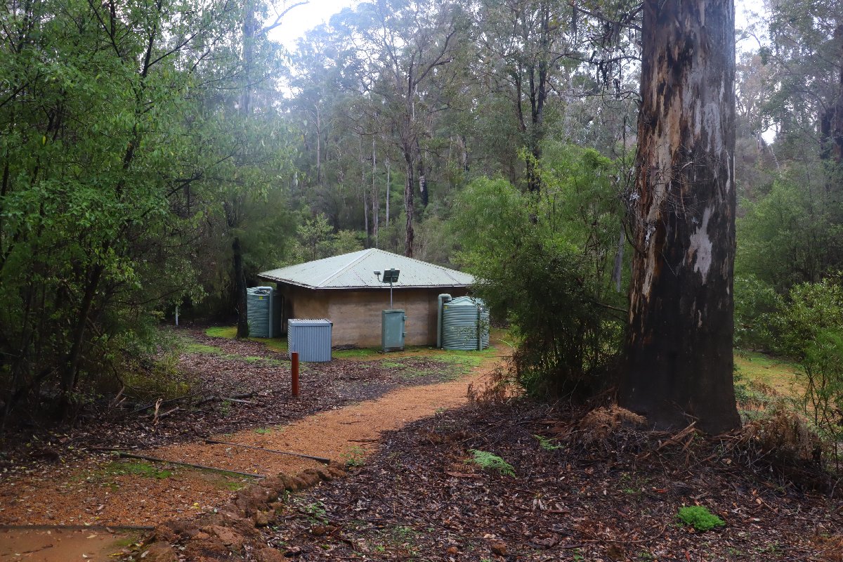
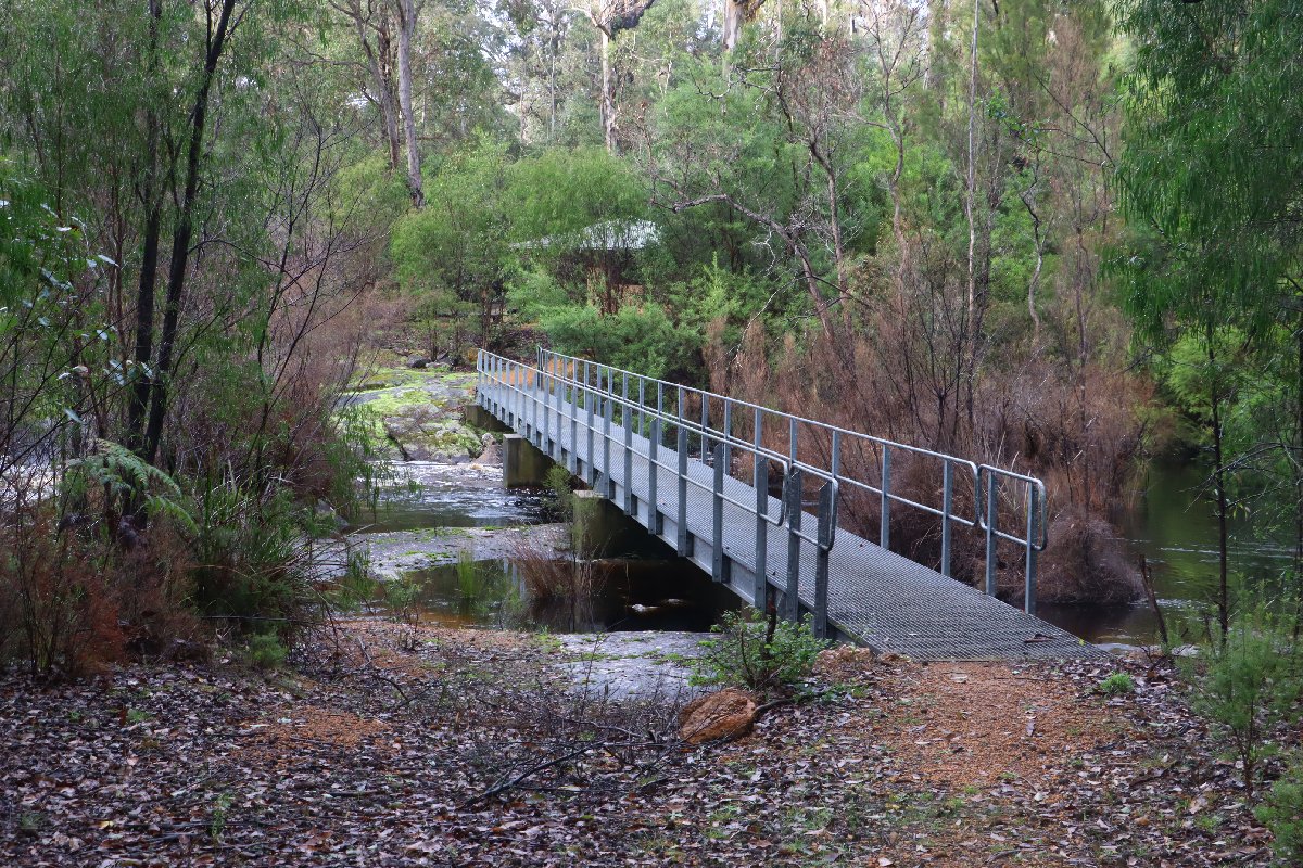
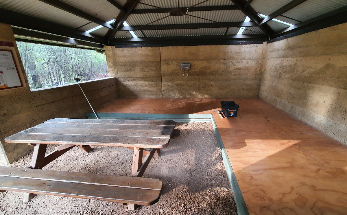
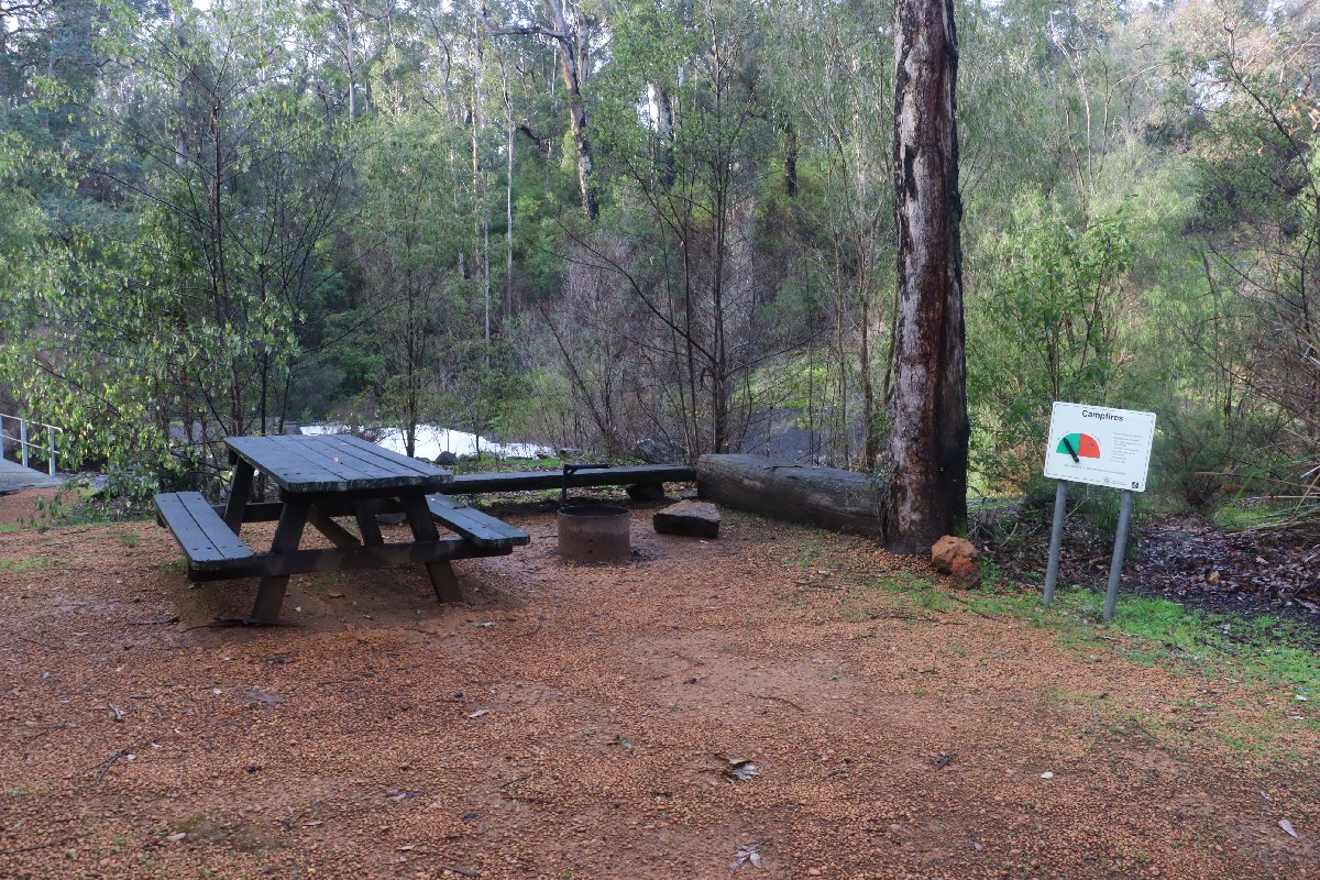
Situated beside the Shannon River, this hut was destroyed in a bushfire in 2015. It has been rebuilt as a rammed earth Type 3 hut.
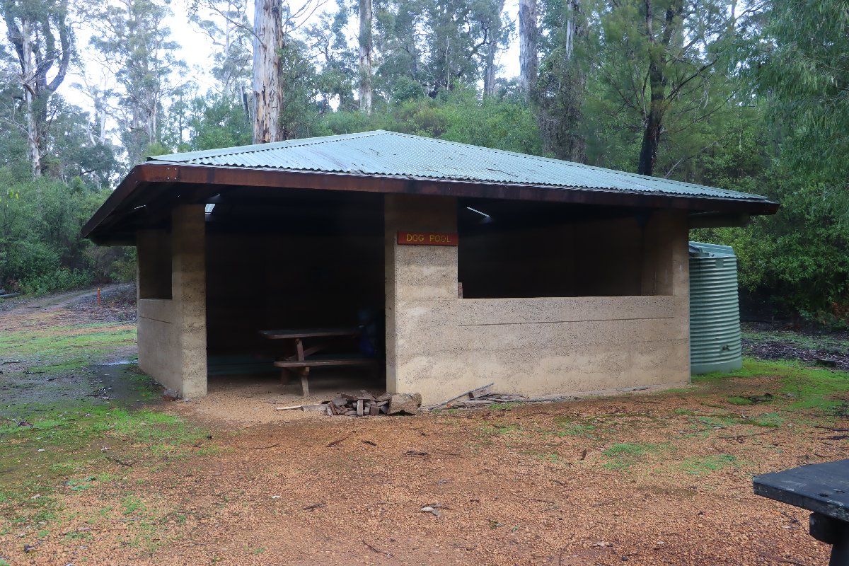
Dog Pool hut
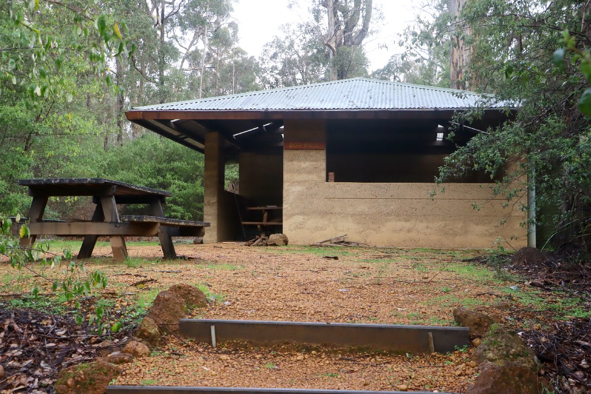
Dog Pool hut
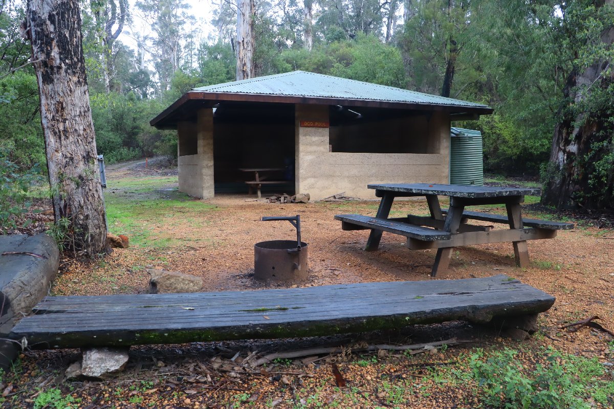
Dog Pool hut
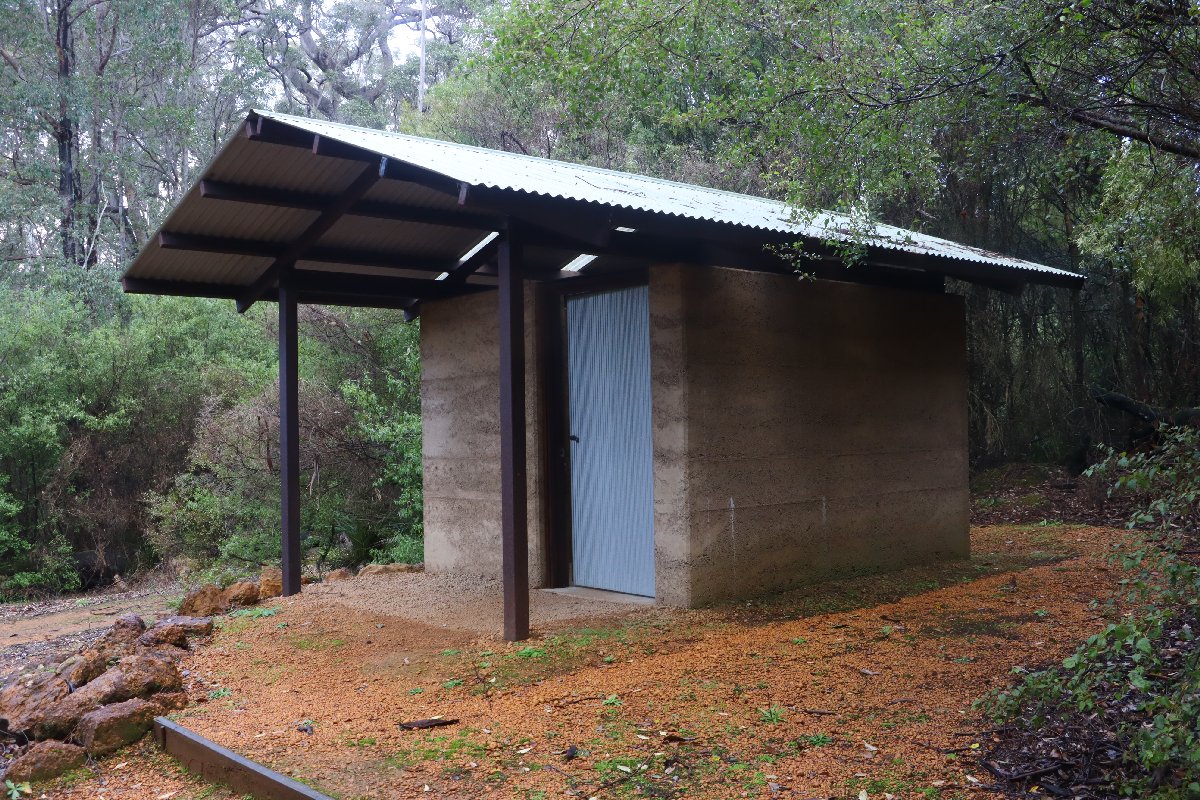
Dog Pool hut
Dog Pool hut
Dog Pool hut
Dog Pool hut
Dog Pool hut
Mt Chance
Hut #36 SOBO, Hut #14 NOBO. Configuration: Type 3 (Nornalup). Distance from Dog Pool: 19.4km. Distance to Woolbales: 21.6km.
This hut is located in a small stand of Karri next to Mt Chance in the Pingerup Plains. Mt Chance is a small granite outcrop that gives near 360 degree views from the top.
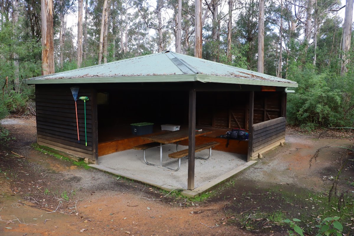
Mt Chance Hut
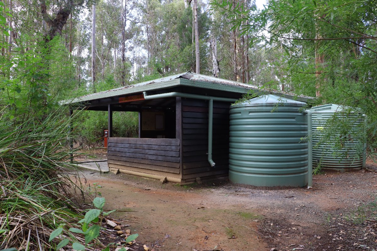
Mt Chance Hut
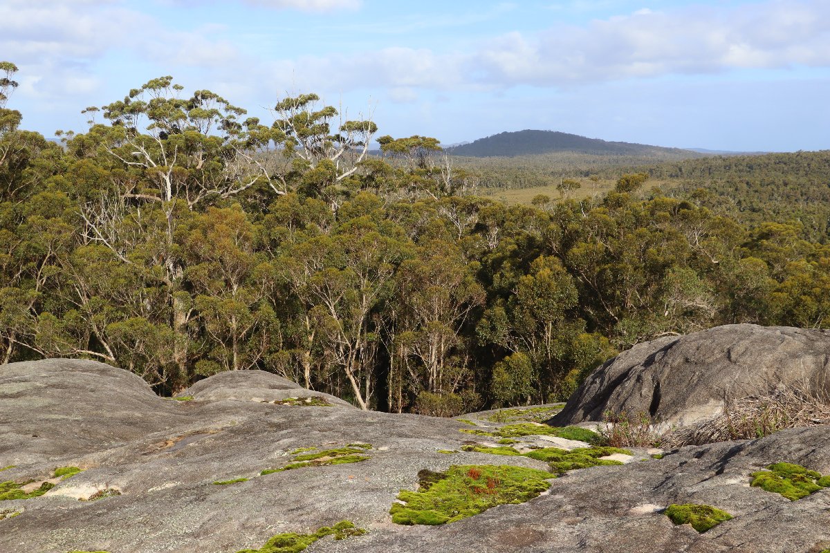
Mt Chance Hut
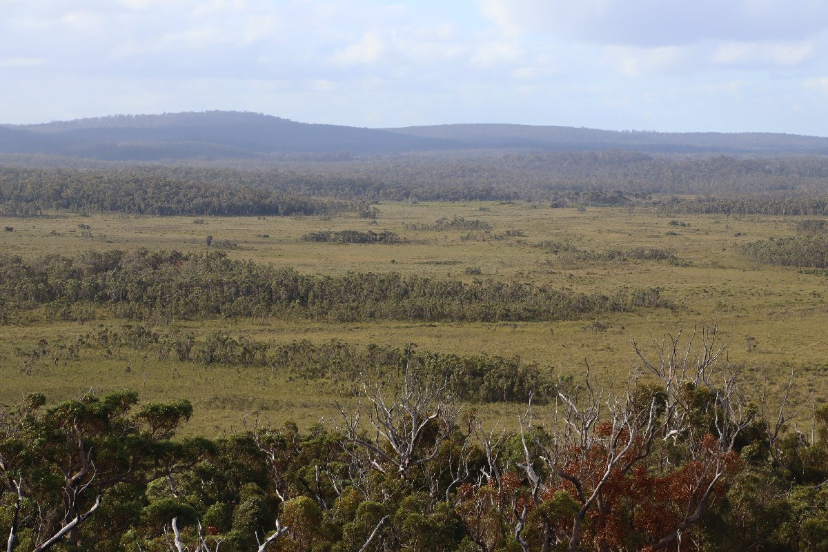
Mt Chance Hut
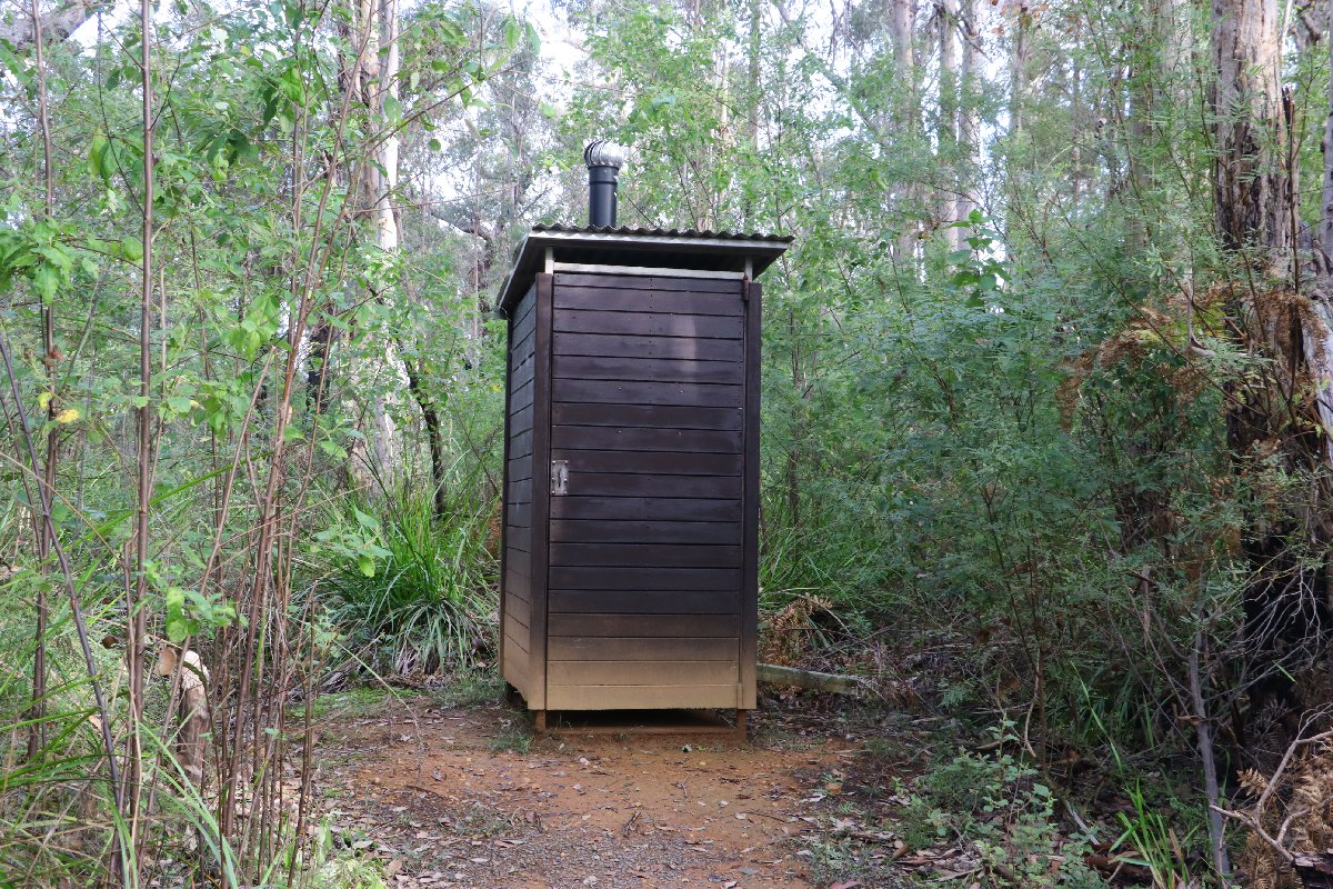
Mt Chance Hut
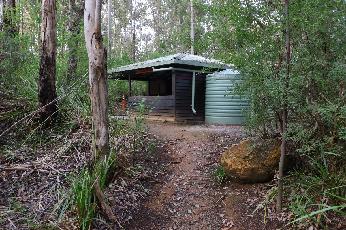
Mt Chance Hut
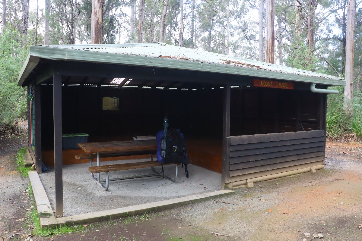
Mt Chance Hut
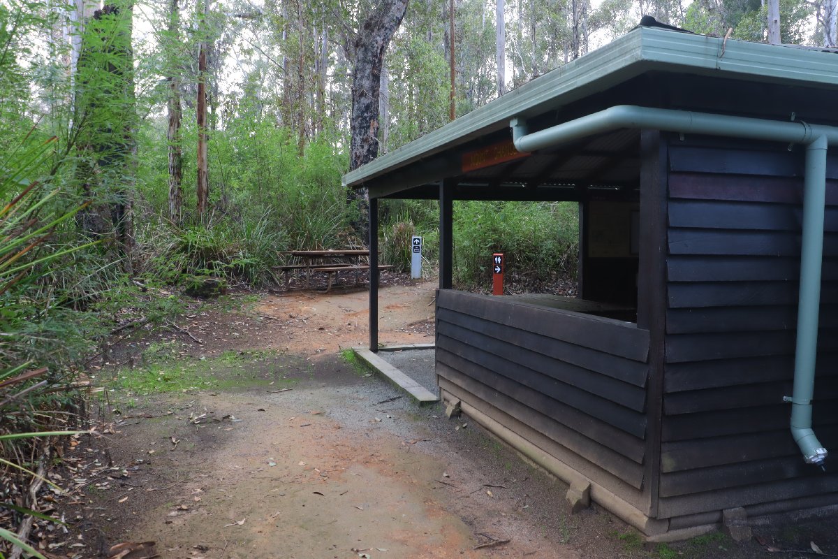
Mt Chance Hut
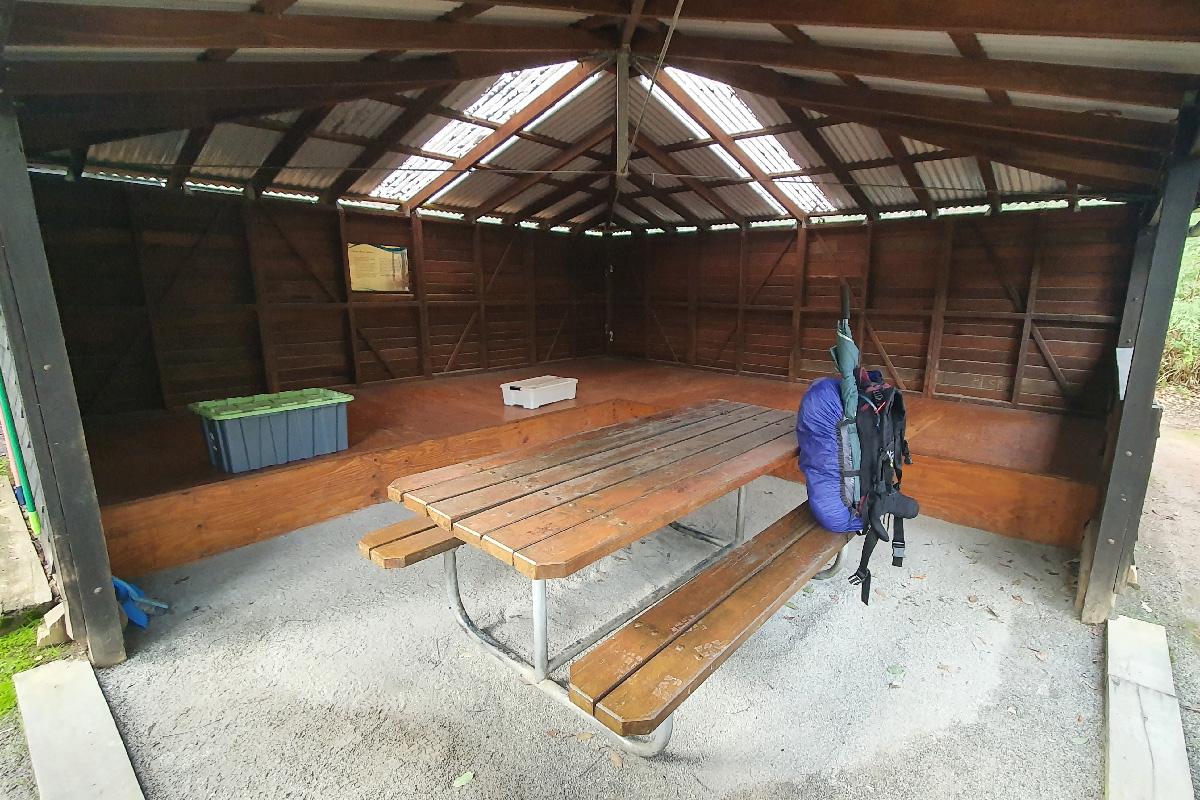
Mt Chance Hut
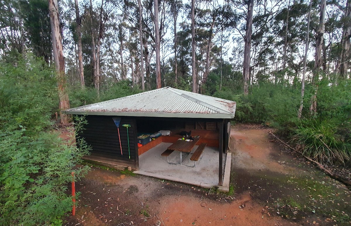
Mt Chance Hut
Woolbales
Hut #37 SOBO, Hut #13 NOBO. Configuration: Type 3 (Nornalup). Distance from Mt Chance: 21.6km. Distance to Long Point: 18.4km.
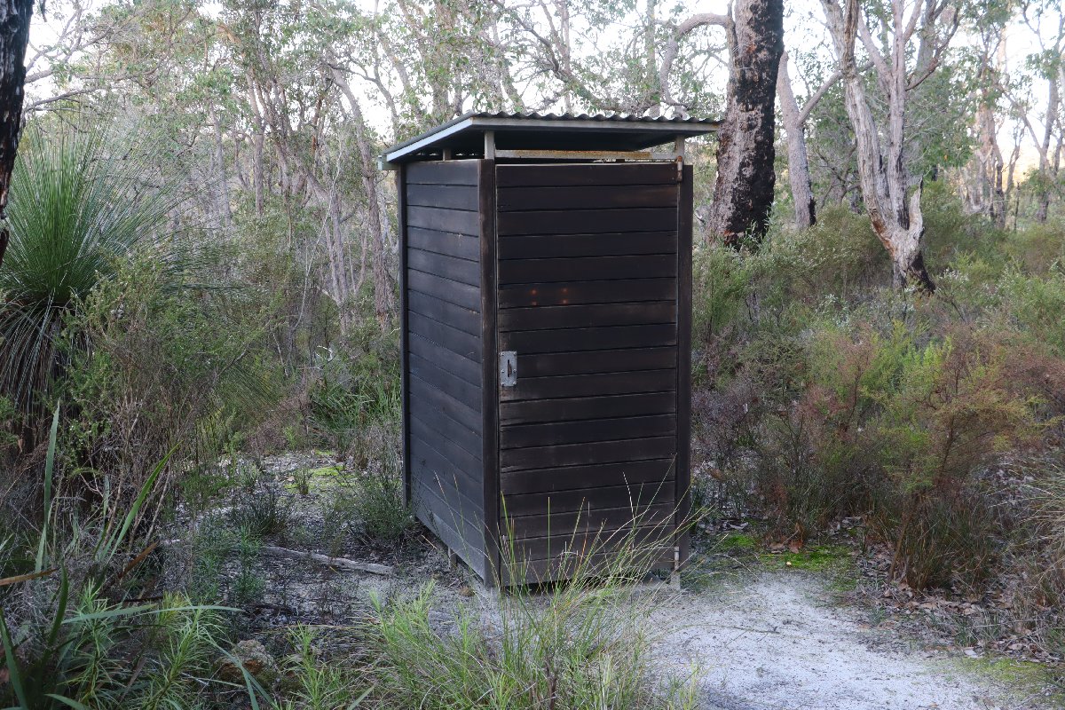
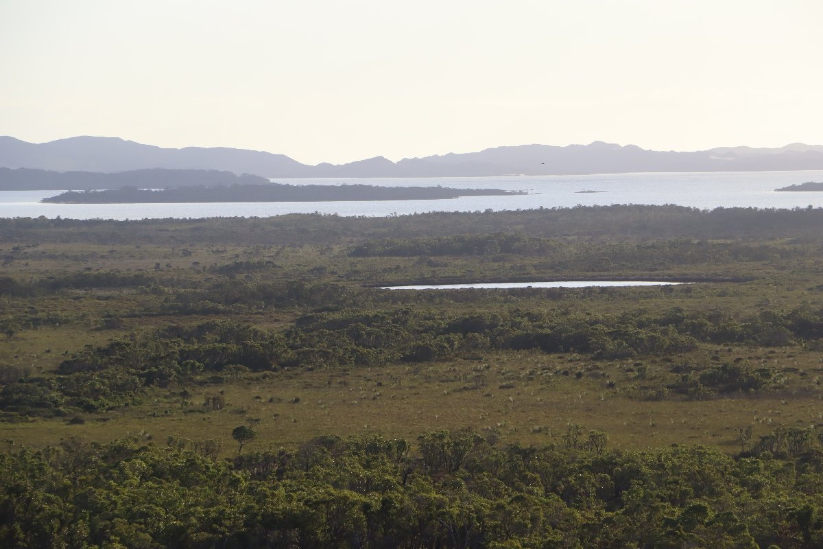
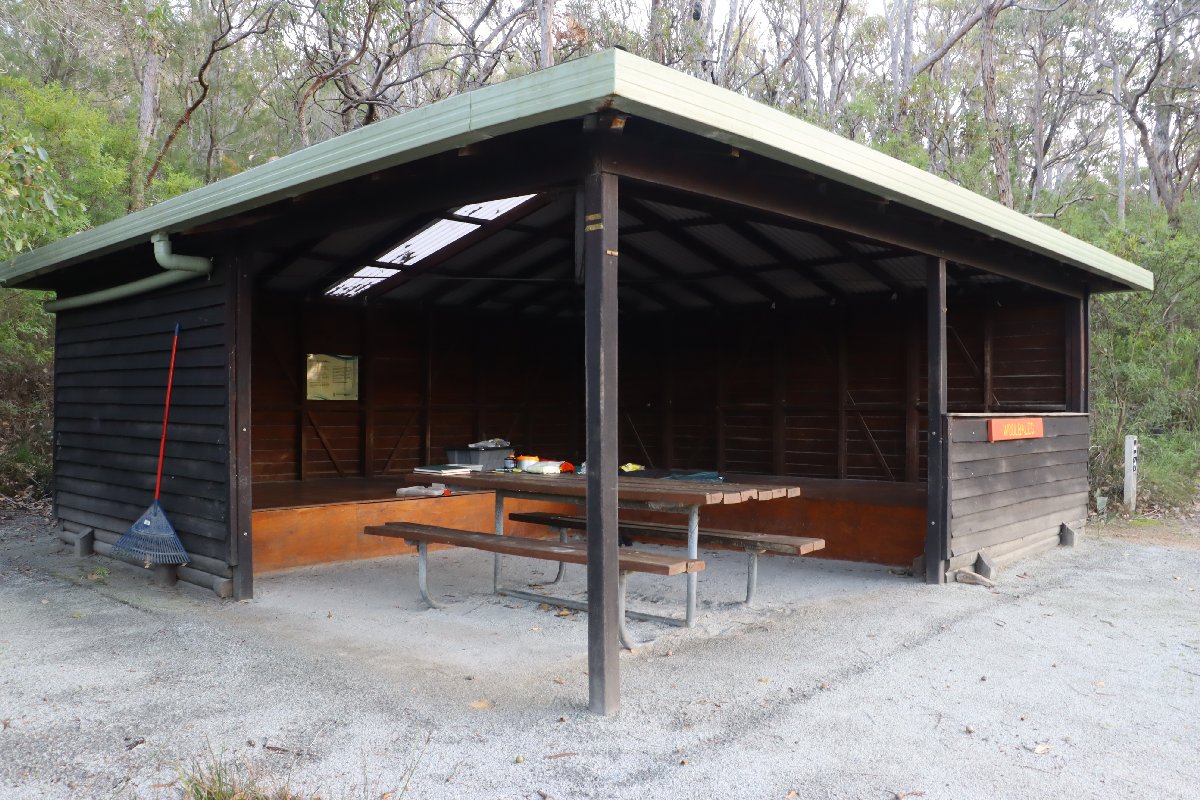
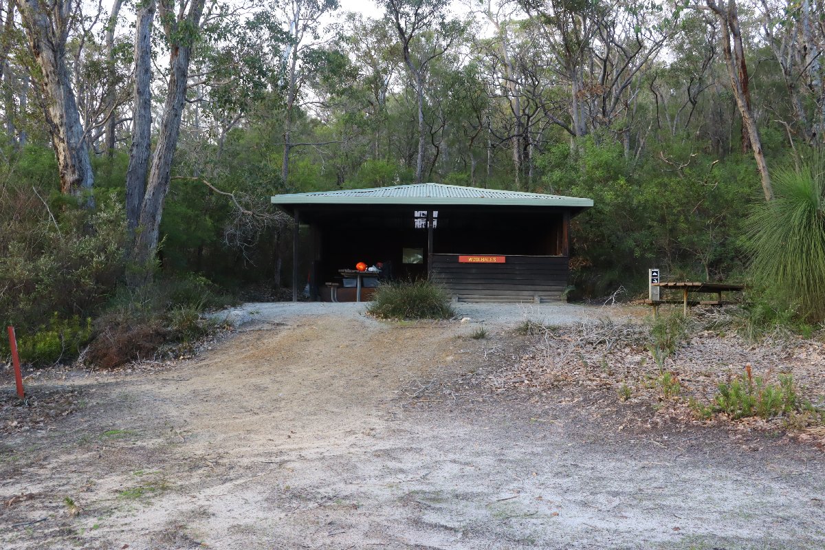
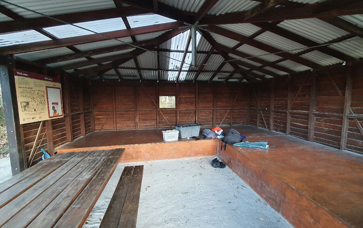
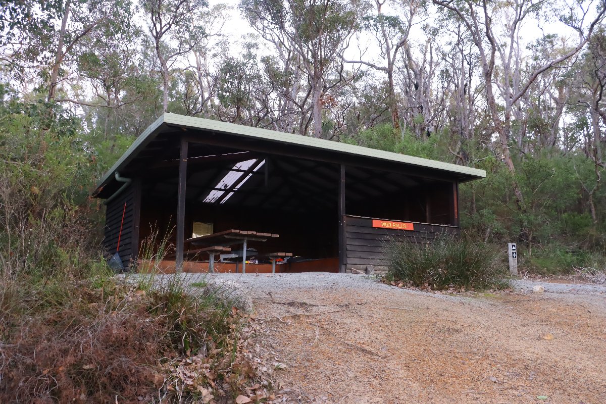
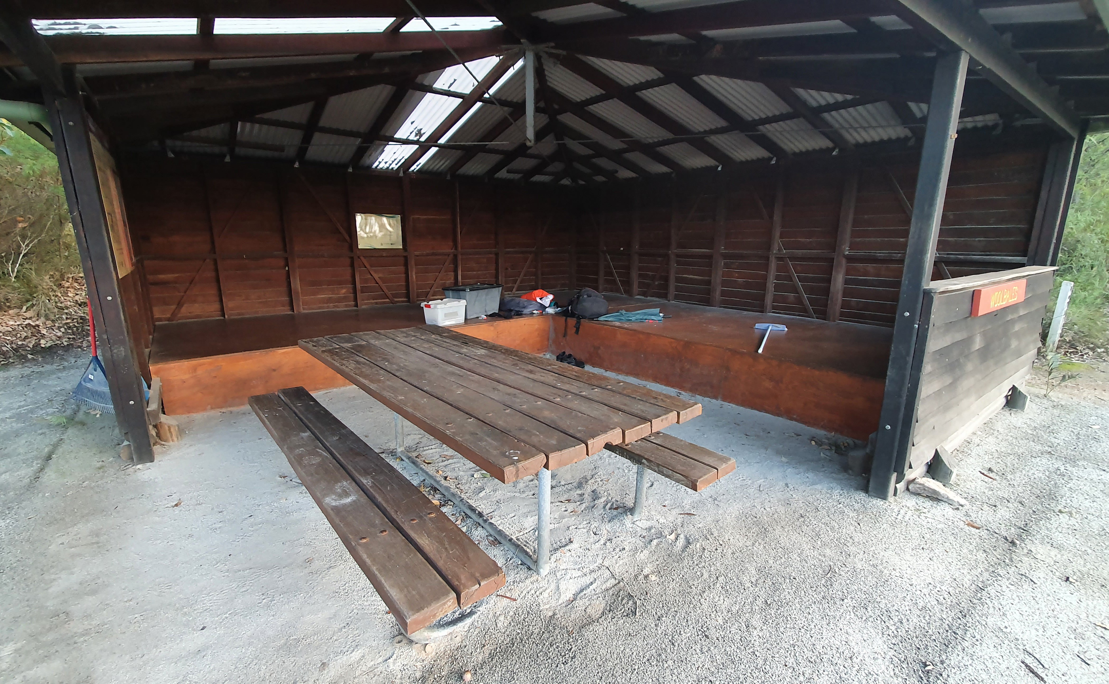
Woolbales Hut is named from the local hills, which apparently look like bales of wool. The hut is located at the base of a small granite outcrop, which gives great views in nearly every direction. The sea can be heard in the distance from this hut.
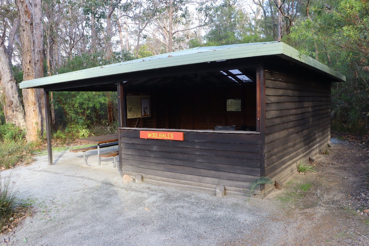
Woolbales Hut
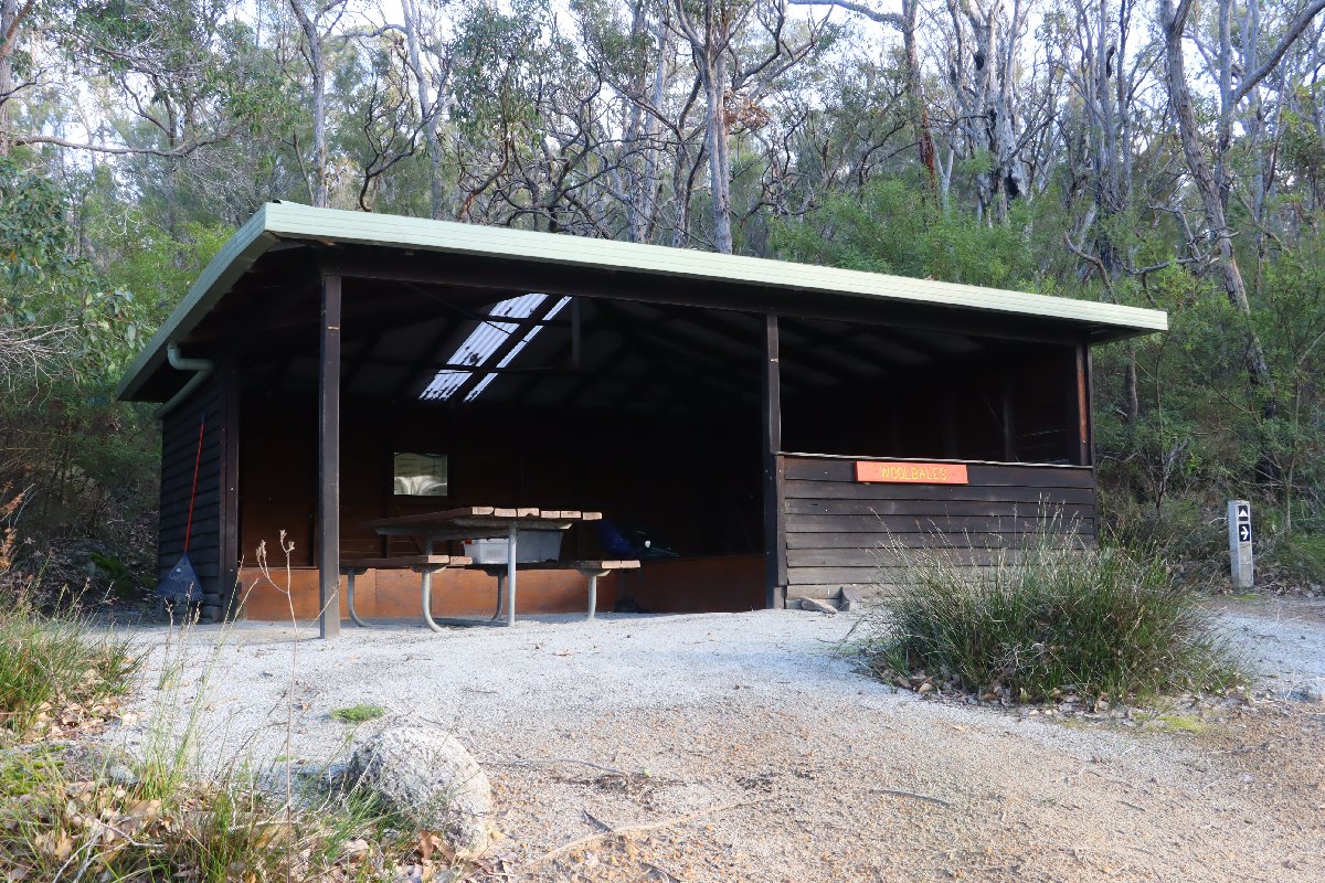
Woolbales Hut
Woolbales Hut
Woolbales Hut
Woolbales Hut
Woolbales Hut
Woolbales Hut
Woolbales Hut
Woolbales Hut
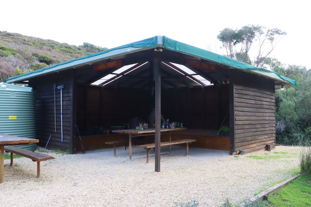
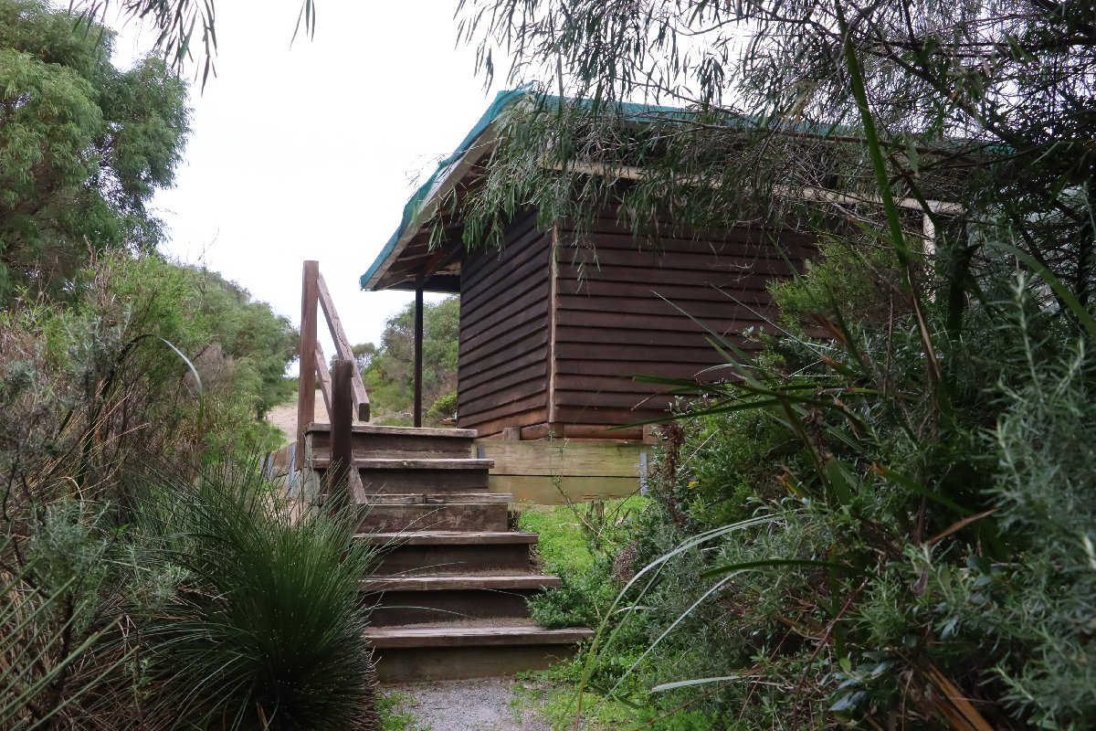
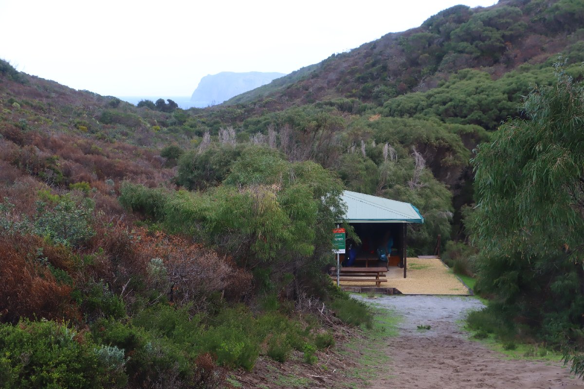
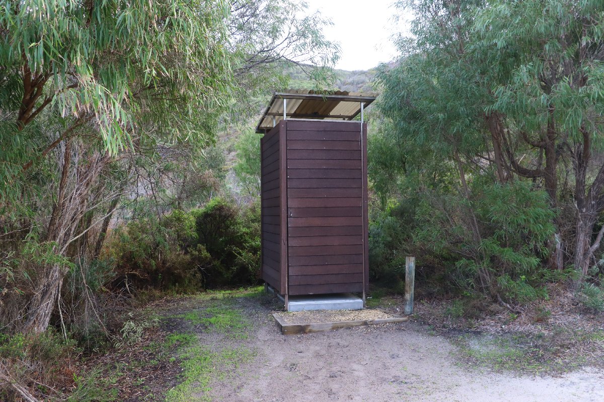
Long Point
Hut #38 SOBO, Hut #12 NOBO. Configuration: Type 3 (Nornalup). Distance from Woolbales: 18.4km. Distance to Mt Clare: 13.2km.
This hut is located on the longest side track, being some 500m from the main track. The hut is in a sheltered, peaceful valley. There is a trail leading to the sea about 1.2km away. No swimming there, it is too rough, but it is a good place to watch the waves crash over the rocks.
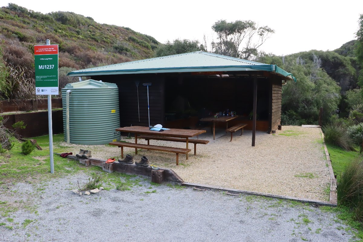
Long Point Hut
Long Point Hut
Long Point Hut
Long Point Hut
Long Point Hut
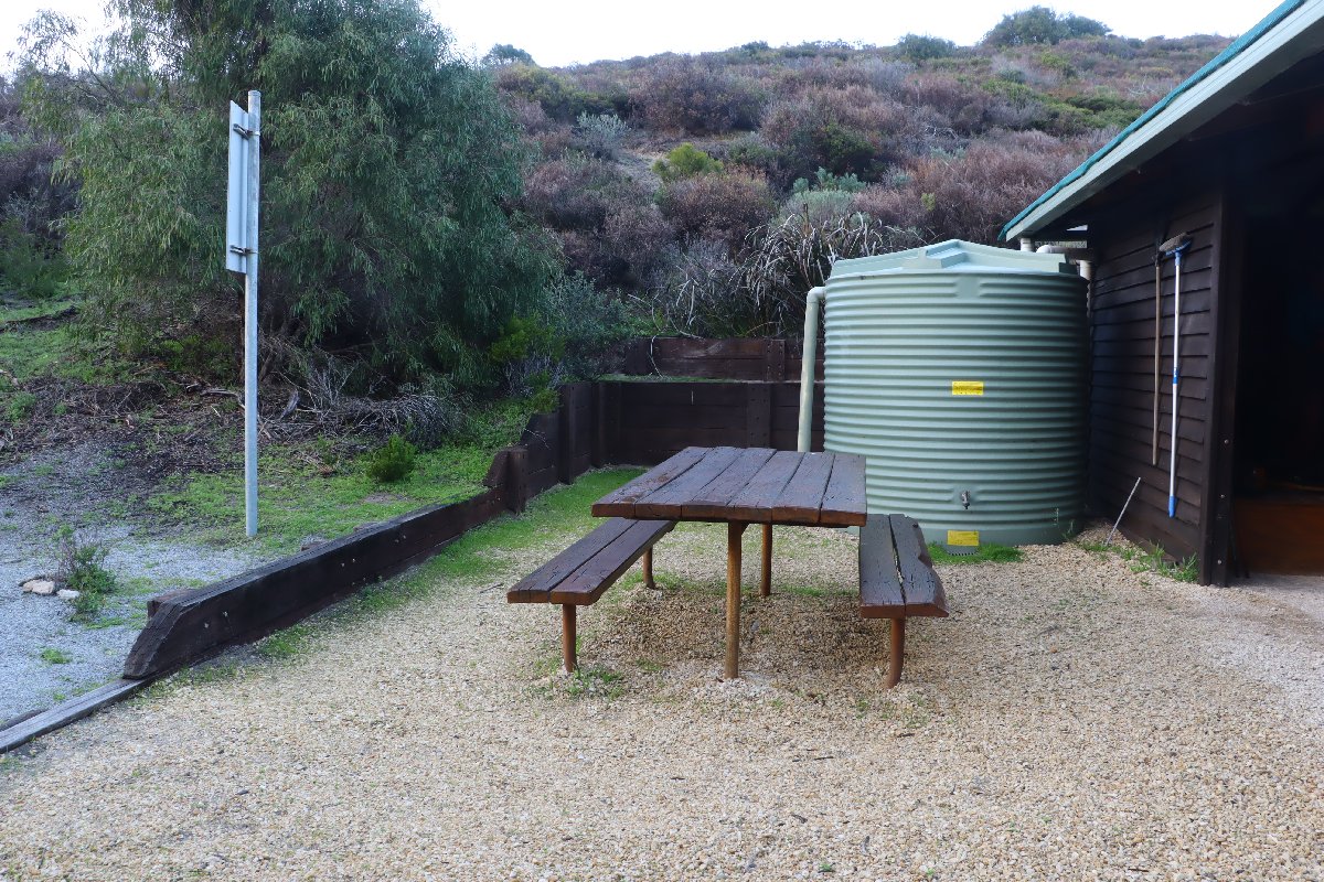
Long Point Hut
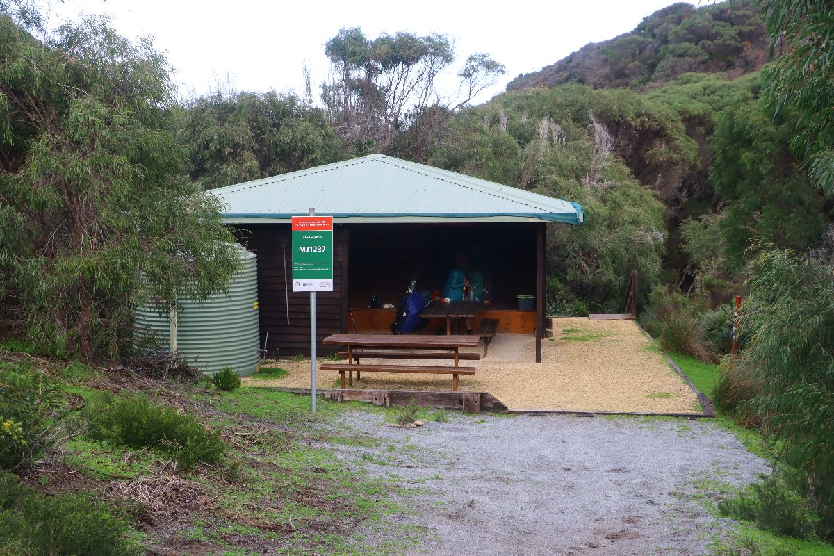
Long Point Hut
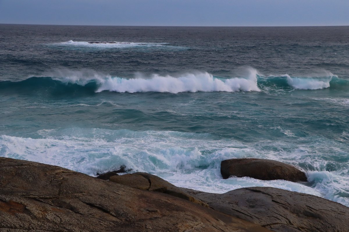
Long Point Hut
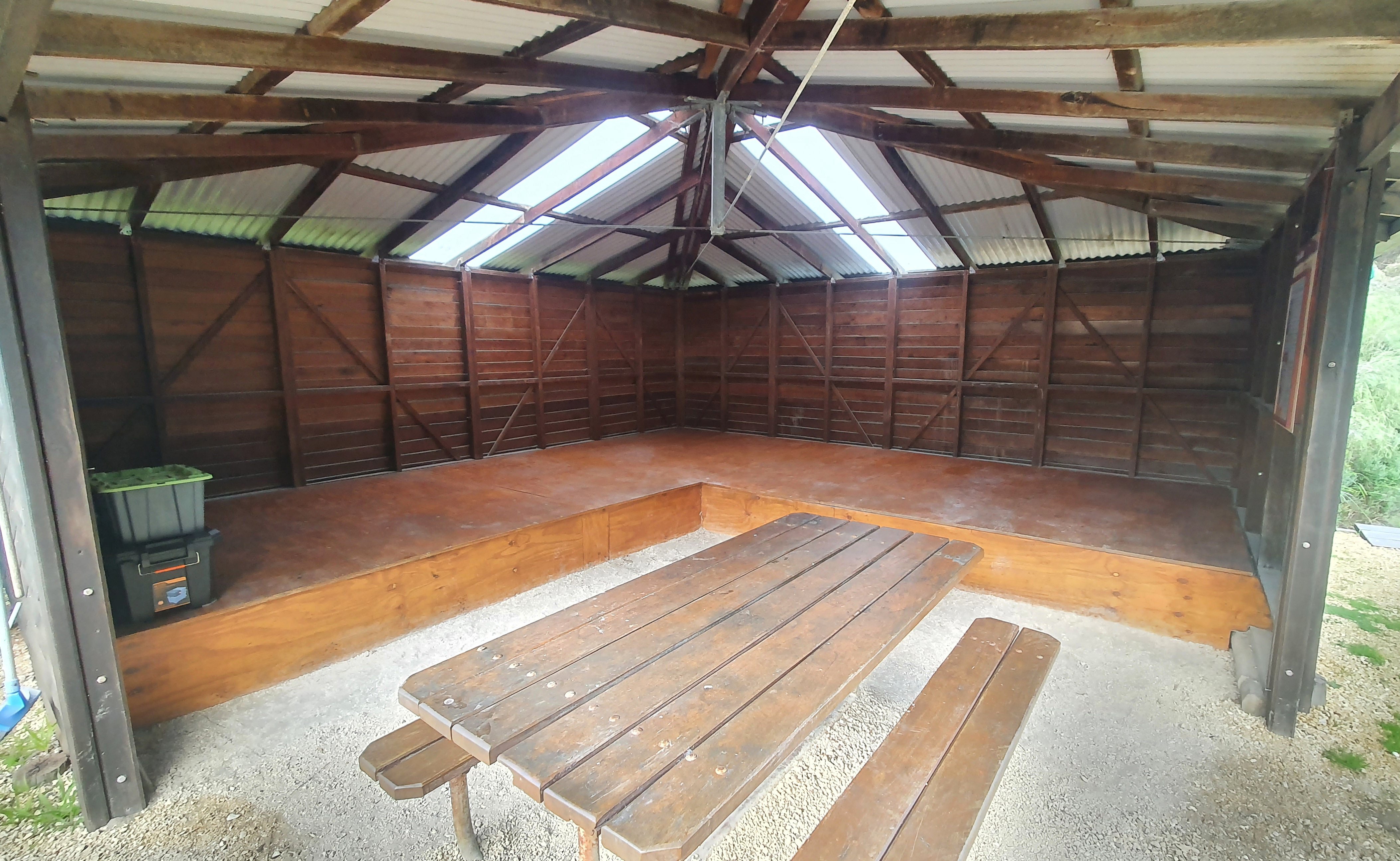
Long Point Hut
Mt Clare
Hut #39 SOBO, Hut #11 NOBO. Configuration: Type 3 (Nornalup). Distance from Long Point: 13.2km. Distance to Walpole: 10.4km.
Located near the top of Mt Clare, this hut is located in a stand of large Tingle trees, the first time these are encountered by southbound hikers.
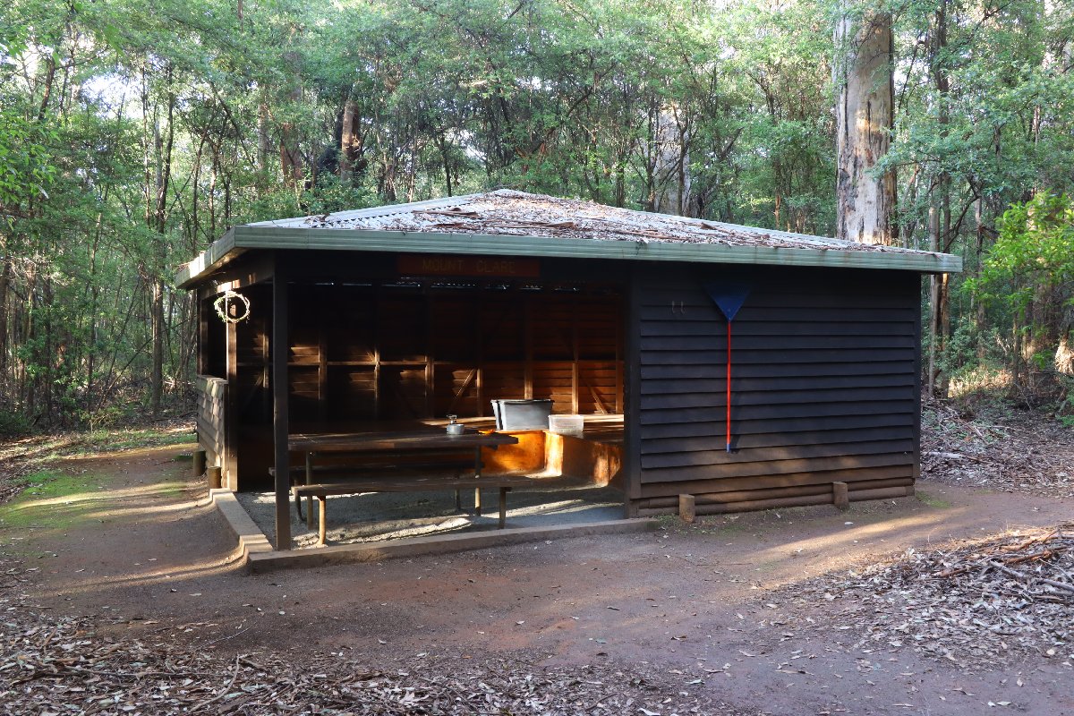
Mt Clare Hut
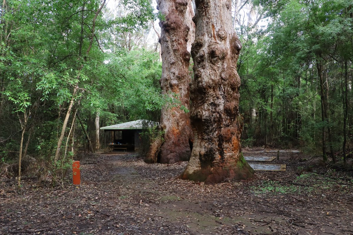
Mt Clare Hut
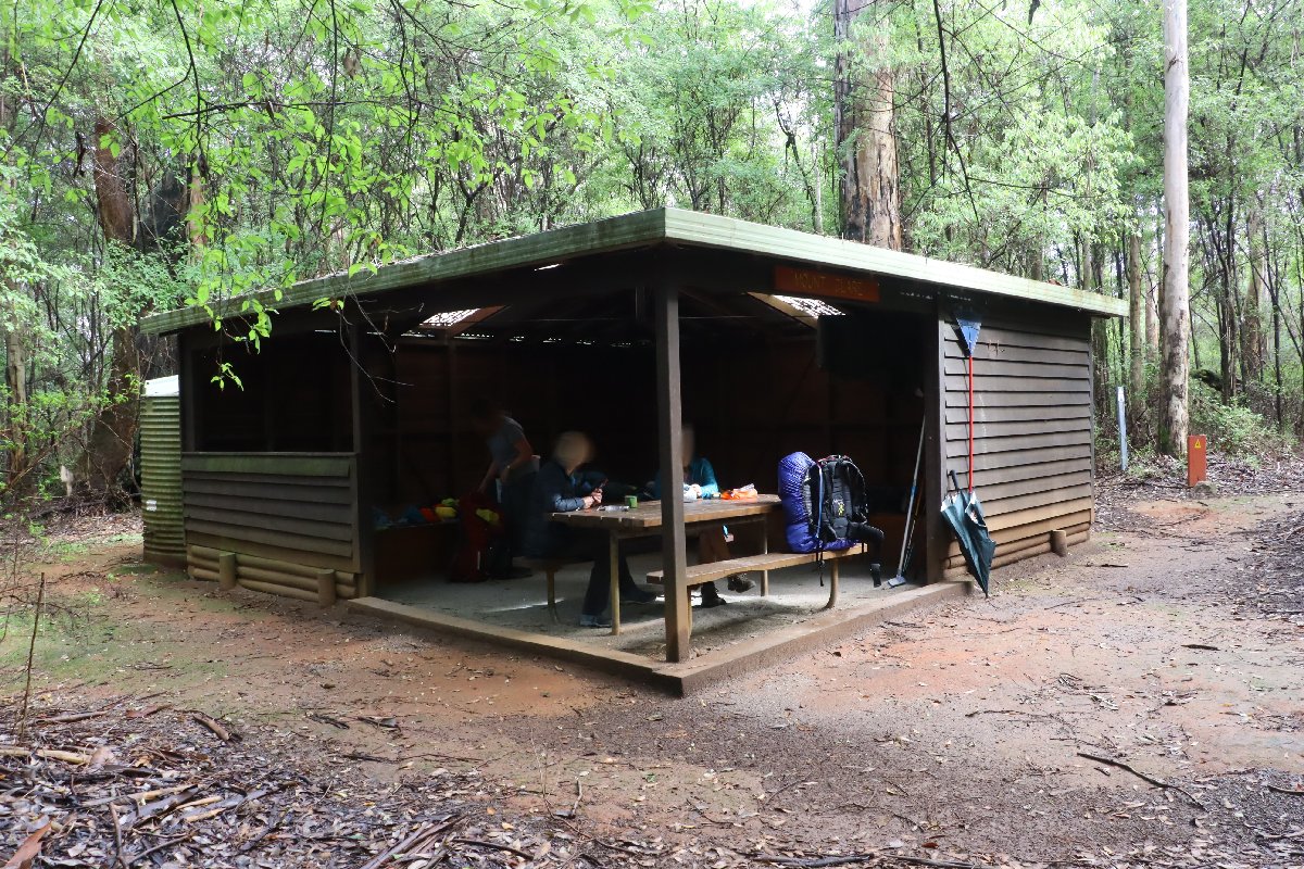
Mt Clare Hut
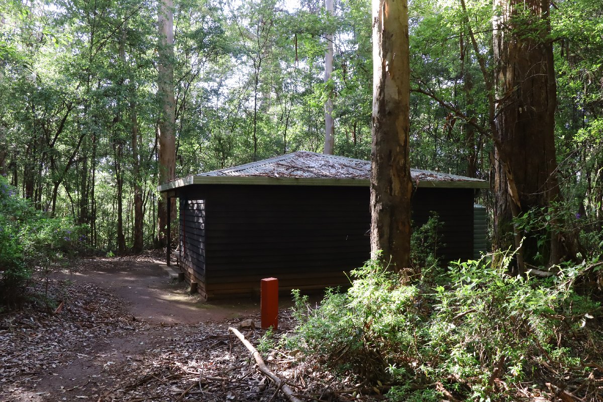
Mt Clare Hut
Frankland River
Hut #40 SOBO, Hut #10 NOBO. Configuration: Type 3 (Nornalup). Distance from Walpole: 18.5km. Distance to Giants: 14.5km.
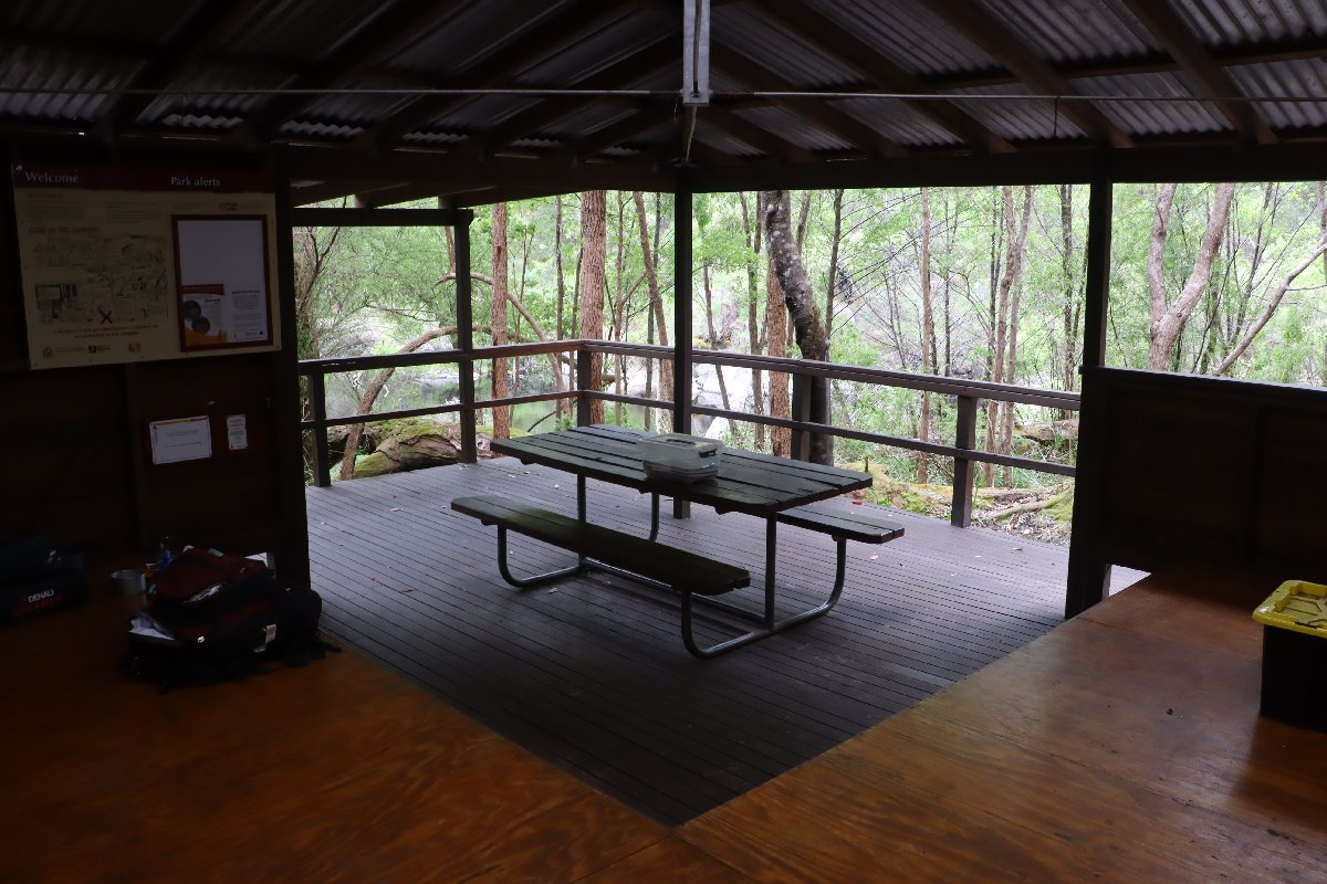
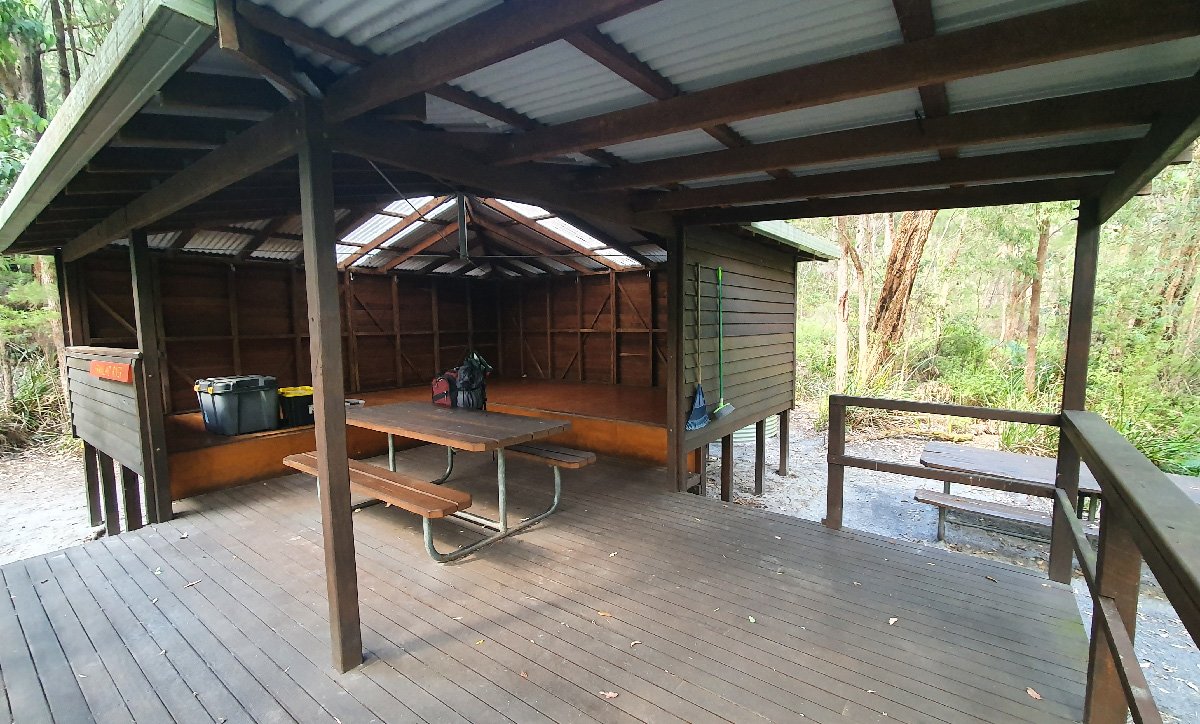
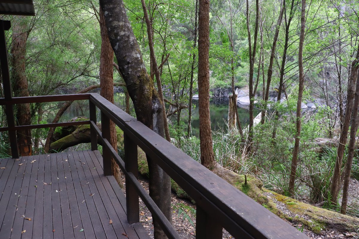
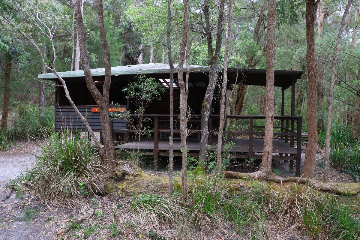
One of the nicest huts on the track, Frankland River hut is located on the bank of the Frankland River and is unique in being constructed off the ground on timber stumps with a covered verandah. The river is great for soaking your tired feet after a day of hiking.
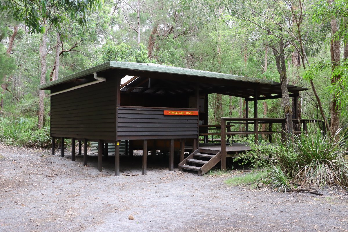
Frankland River Hut
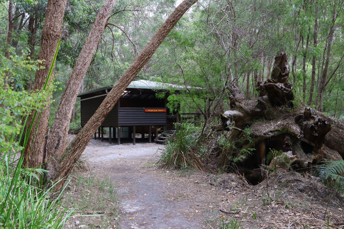
Frankland River Hut
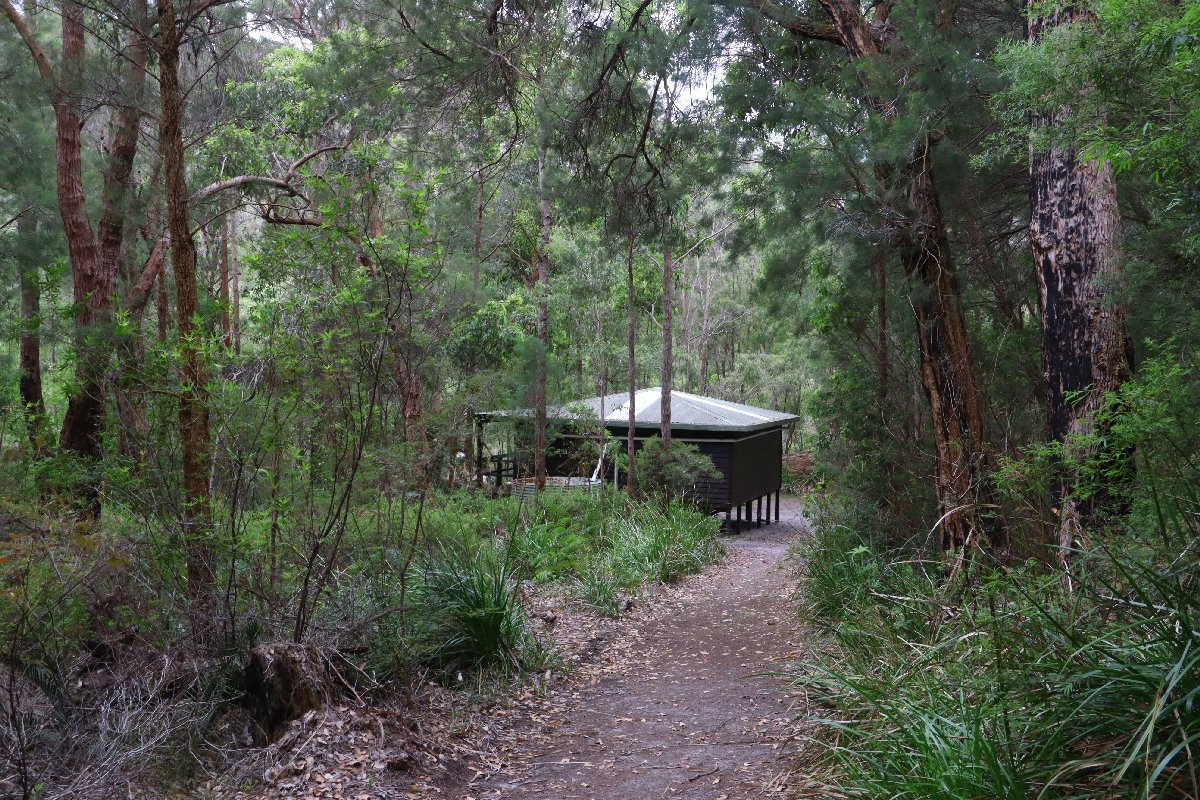
Frankland River Hut
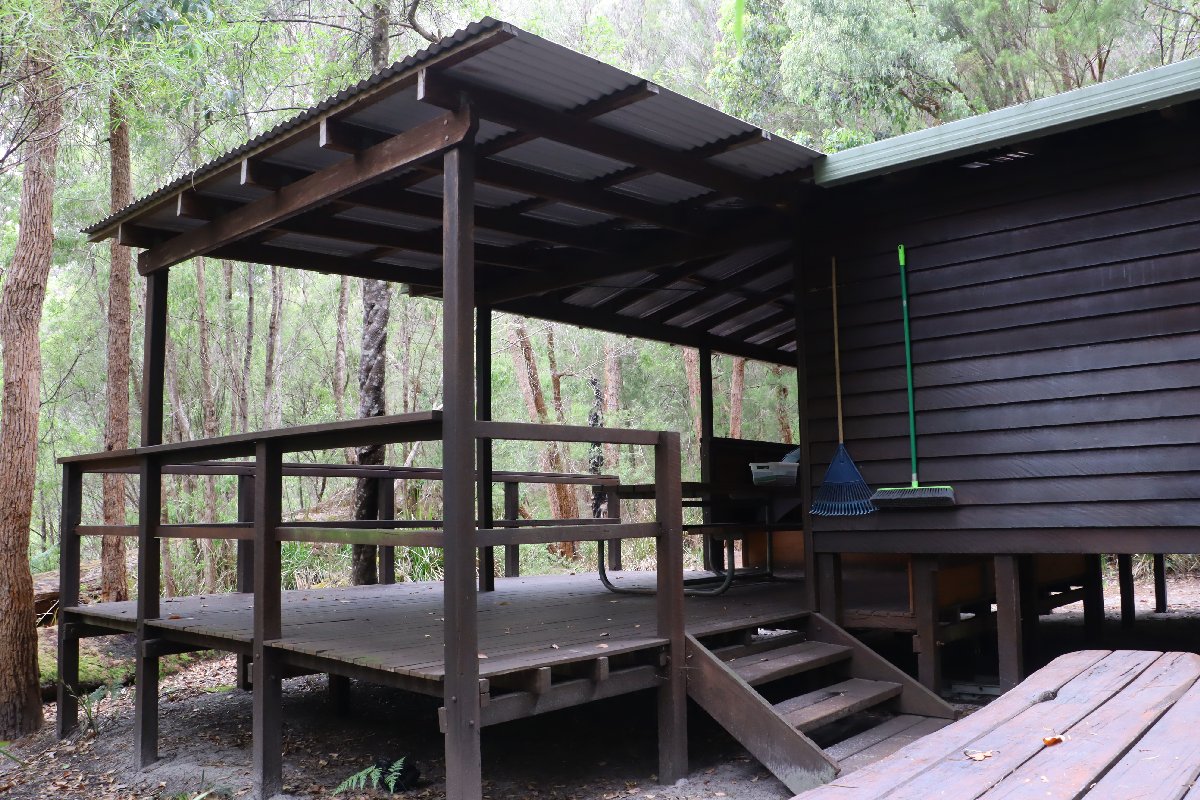
Frankland River Hut
Frankland River Hut
Frankland River Hut
Frankland River Hut
Frankland River Hut
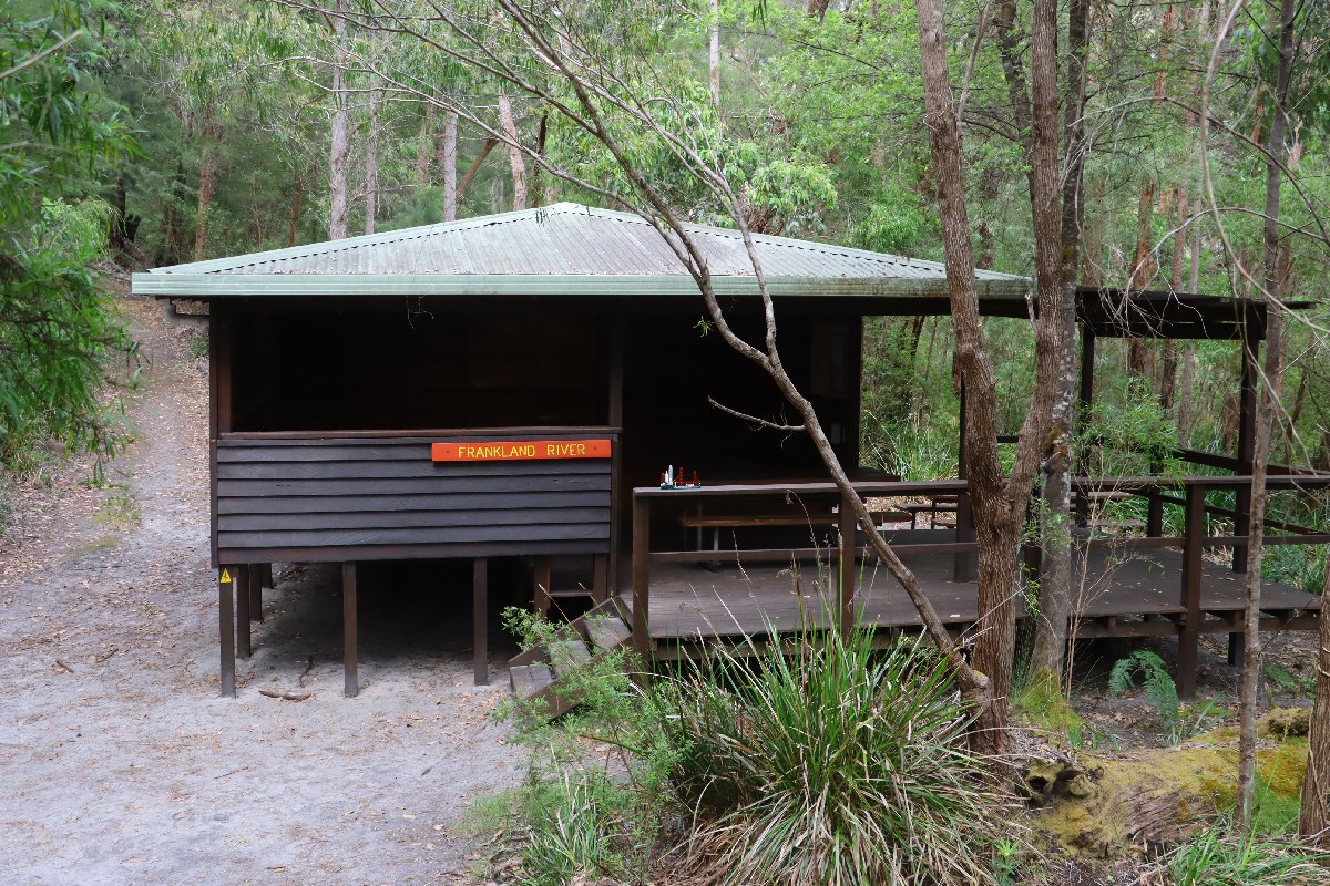
Frankland River Hut
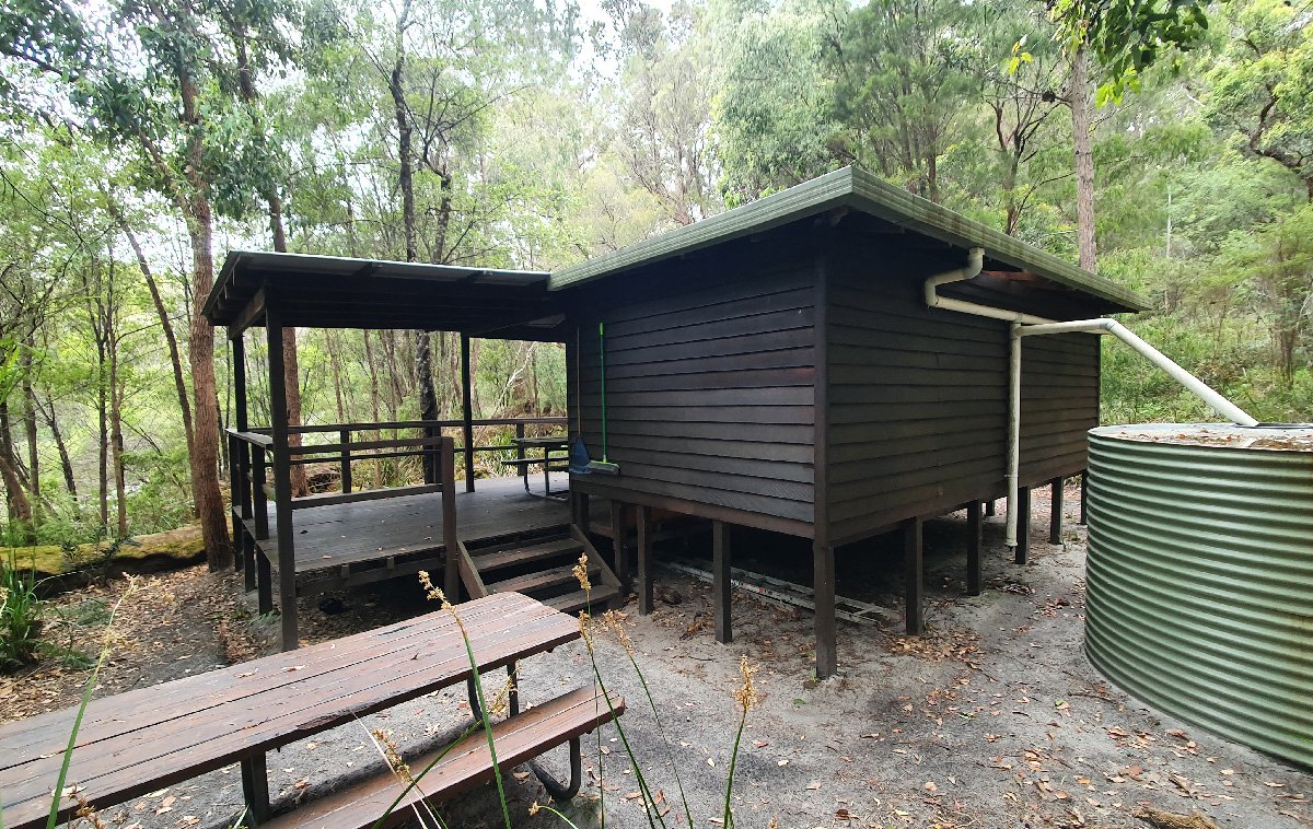
Frankland River Hut
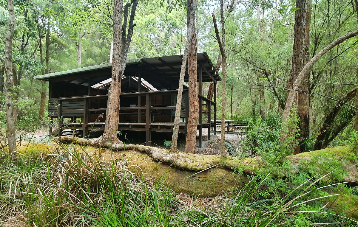
Frankland River Hut
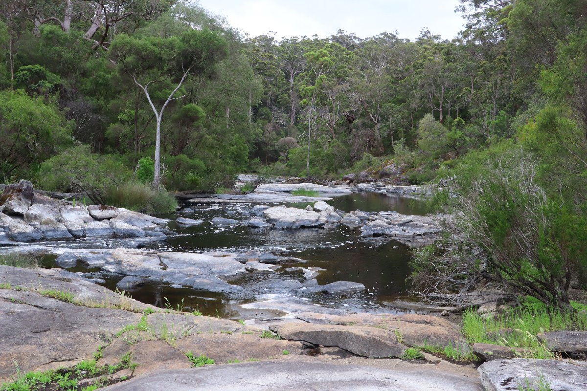
Frankland River Hut
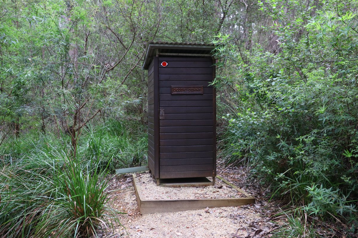
Frankland River Hut
Giants
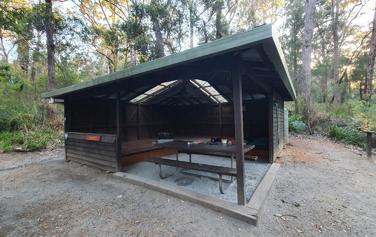
Hut #41 SOBO, Hut #9 NOBO. Configuration: Type 3 (Nornalup). Distance from Frankland River: 14.5km. Distance to Rame Head: 16.7km.
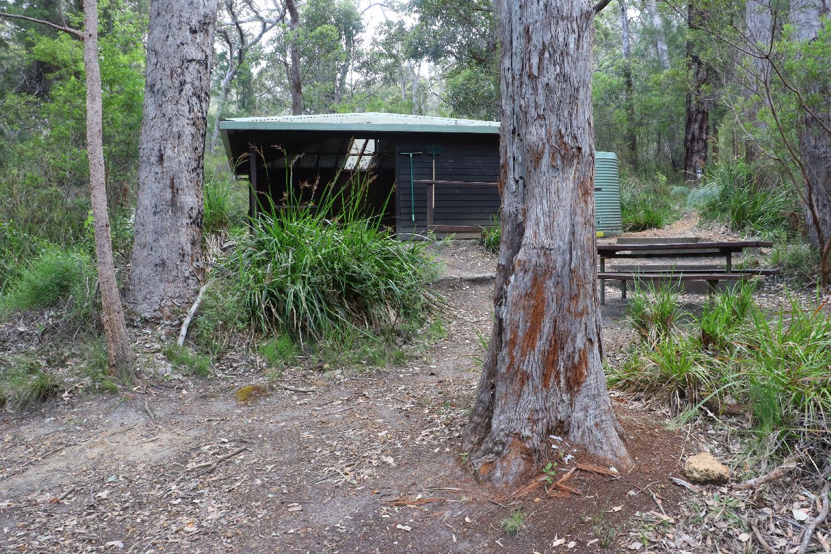
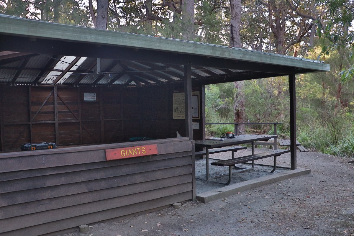
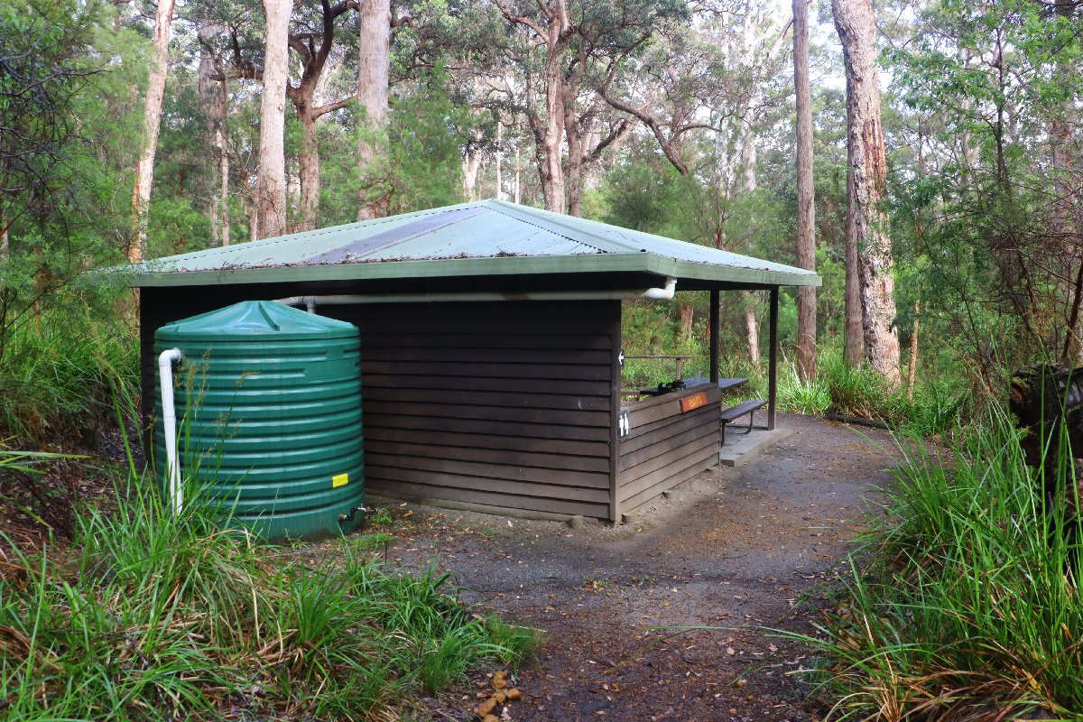
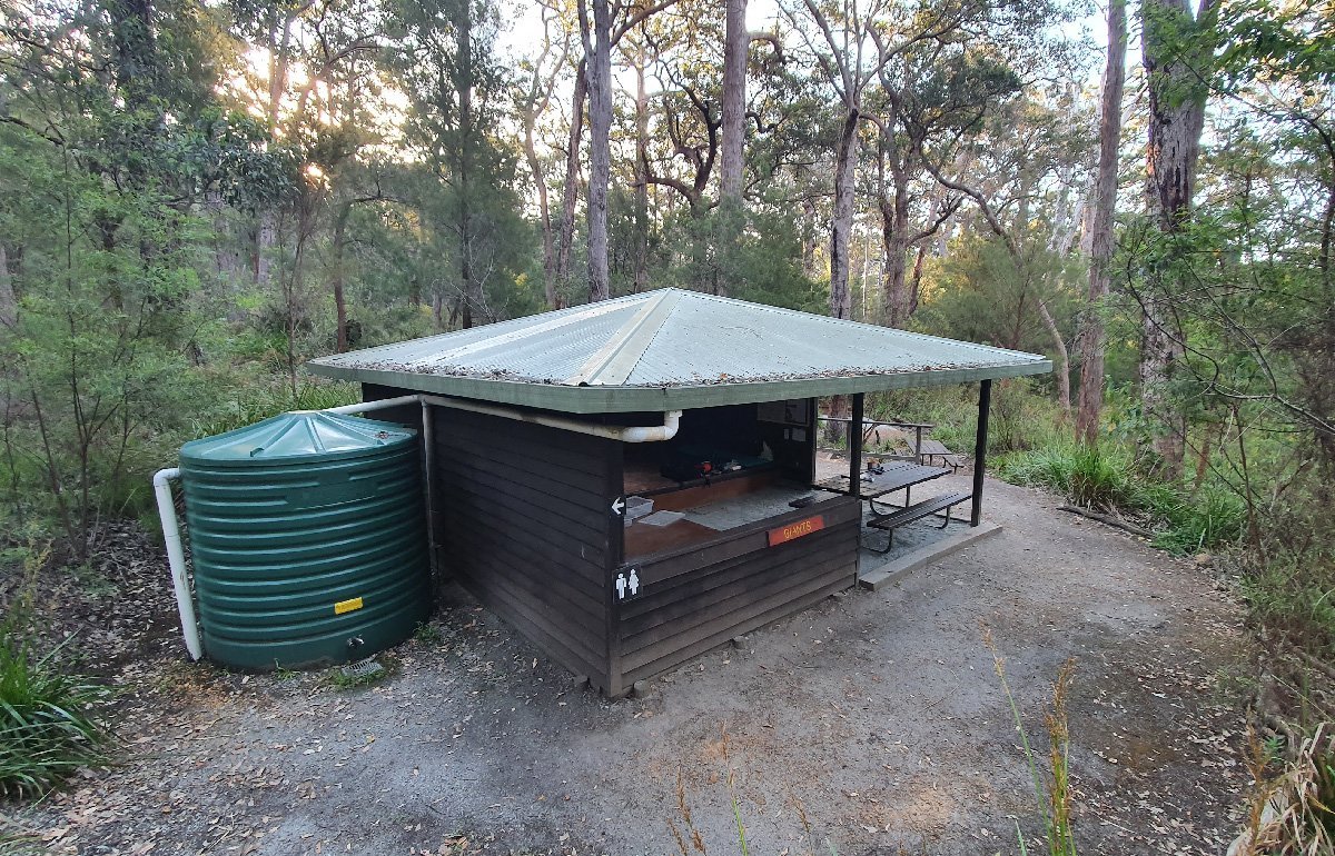
This hut is situated among mixed Tingle and Karri. While in a forest area, it is near farmland. The farmland can't be seen, but cattle can often be heard.
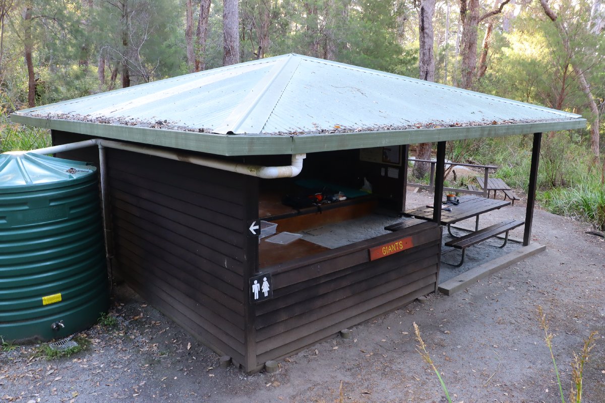
Giants Hut
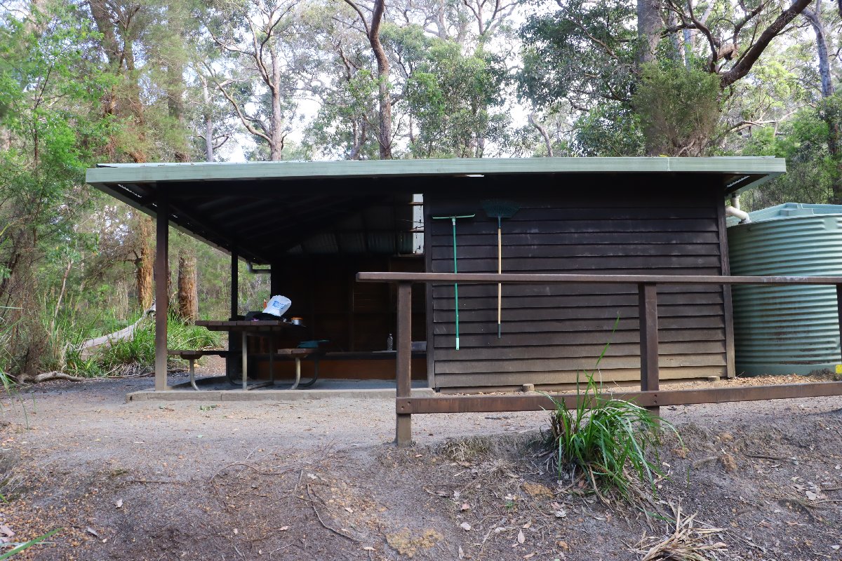
Giants Hut
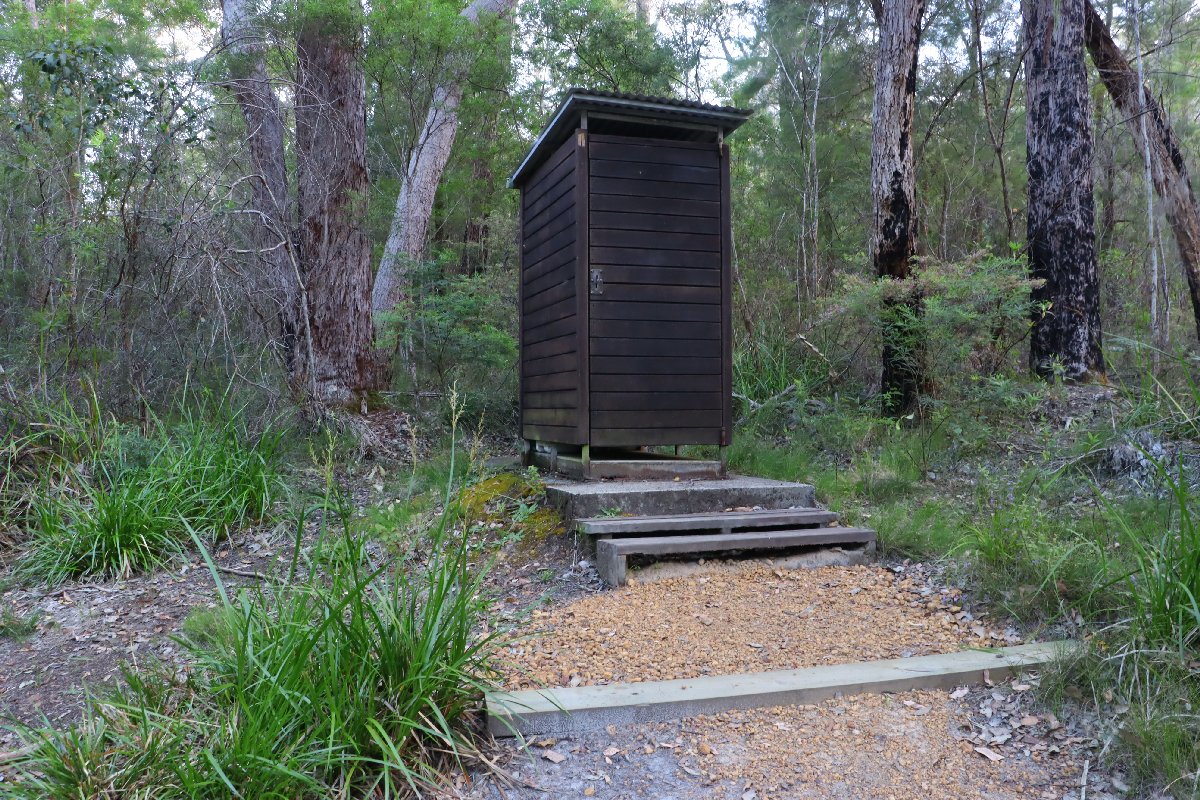
Giants Hut
Giants Hut
Giants Hut
Giants Hut
Giants Hut
Giants Hut
Rame Head
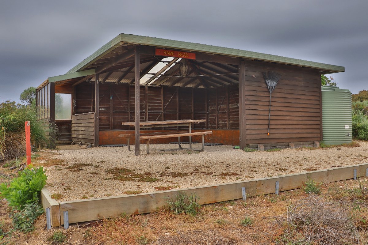
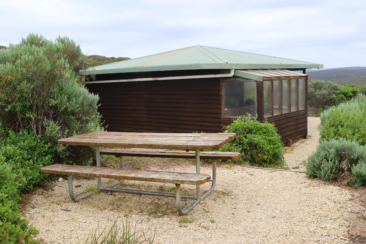
Hut #42 SOBO, Hut #8 NOBO. Configuration: Type 3 (Nornalup). Distance from Giants: 16.7km. Distance to Peaceful Bay: 12.7km.
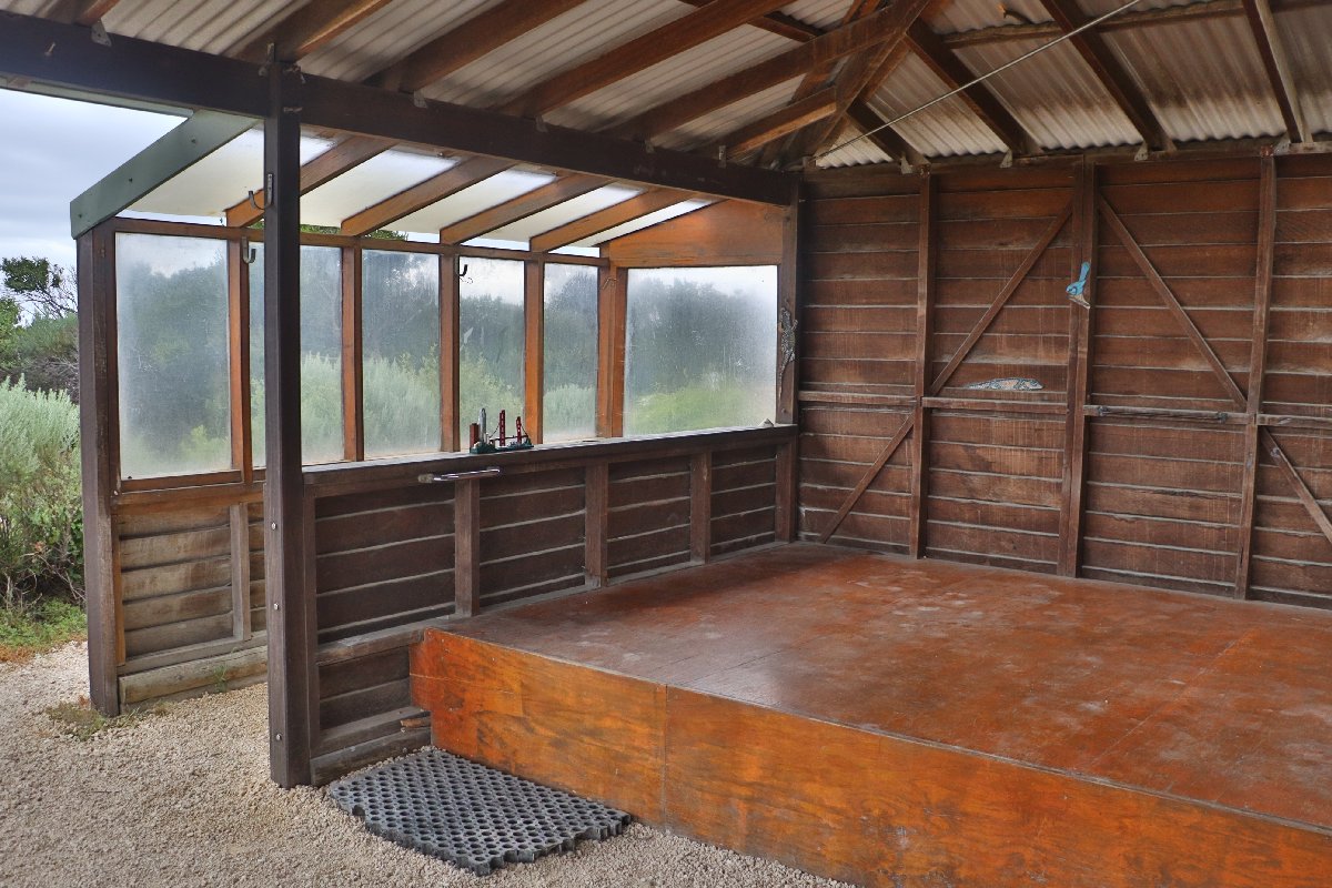
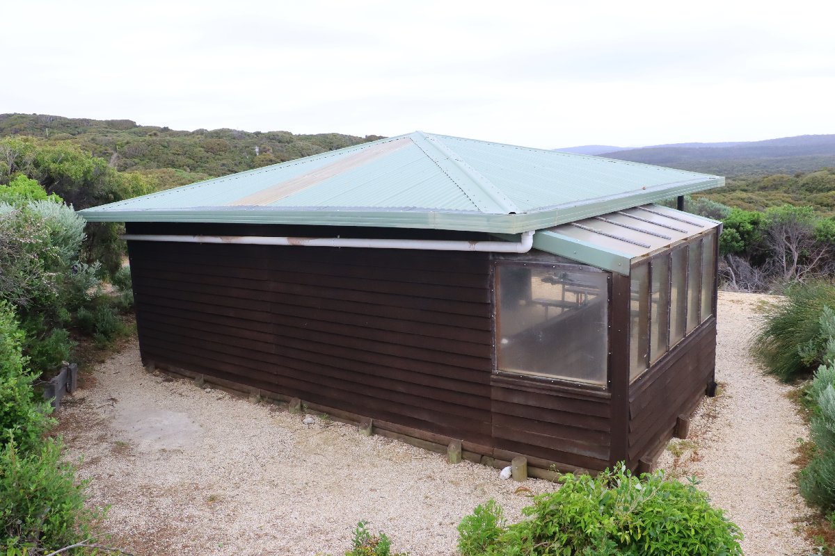
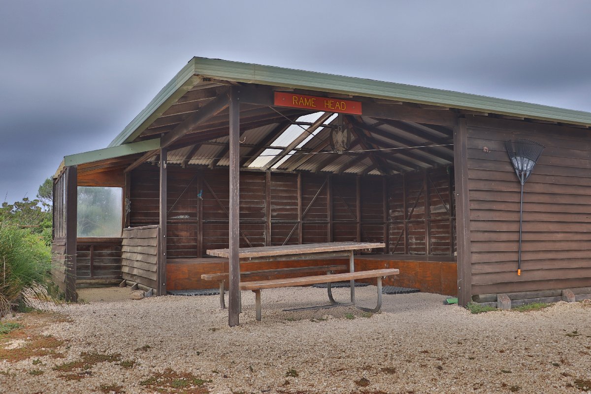
This hut is located in a fairly open area not far from the sea. It has some views of distant coastline. The hut has a small verandah on one side covered with perspex.
Rame Head Hut
Rame Head Hut
Rame Head Hut
Rame Head Hut
Rame Head Hut
Rame Head Hut
Rame Head Hut
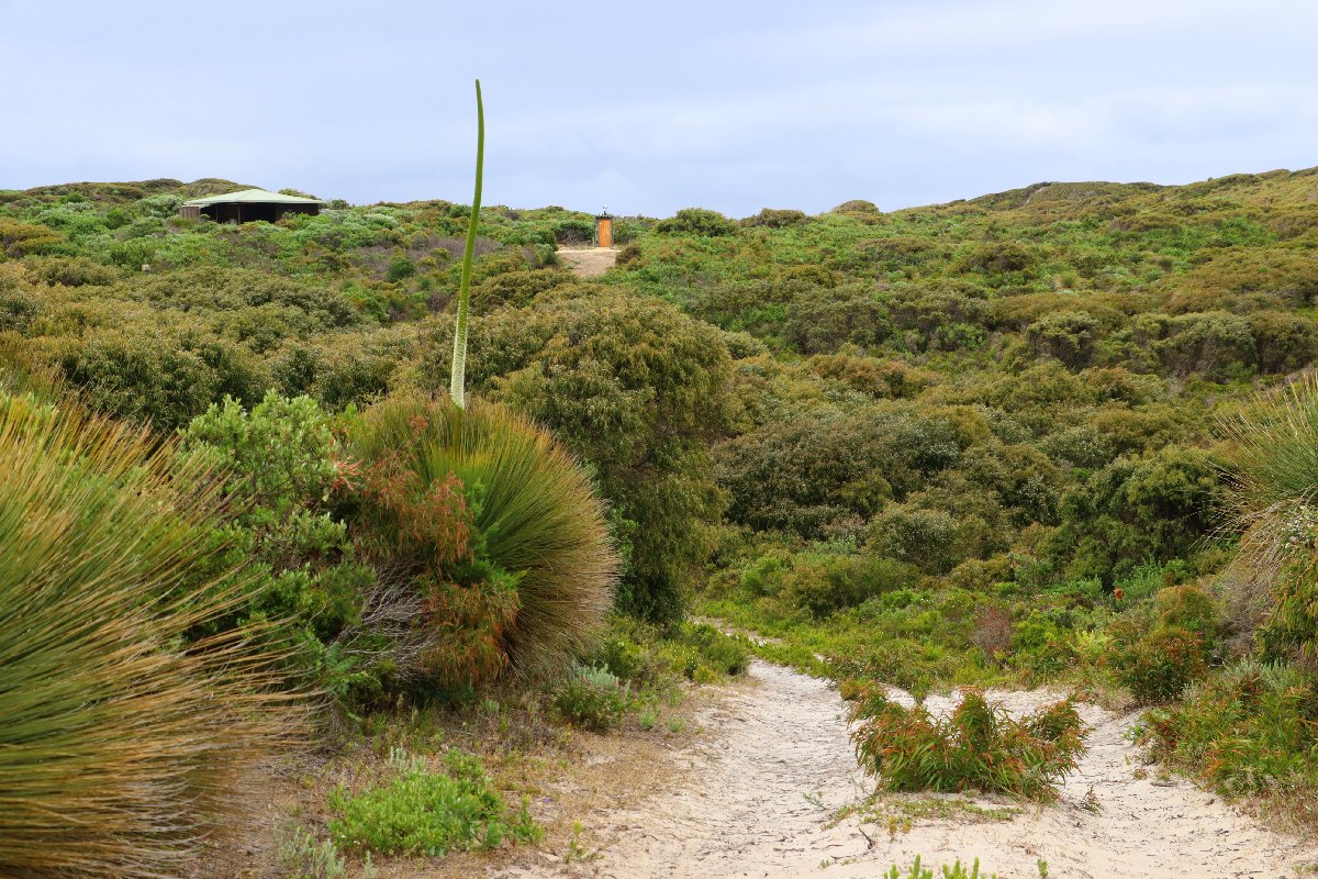
Rame Head Hut
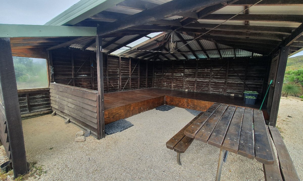
Rame Head Hut
Boat Harbour
Hut #43 SOBO, Hut #7 NOBO. Configuration: Type 3 (Nornalup). Distance from Peaceful Bay: 23.4km. Distance to William Bay Hut: 20.7km.
This hut is quite similar to Rame Head Hut with the same a small verandah on one side covered with perspex. The hut is located in a fairly open area amid low coastal scrub. The area was burnt in a summer bushfire and is still recovering. Fortunately, the hut itself was saved.
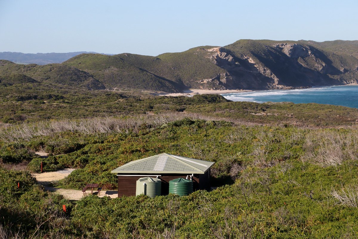
Boat Harbour Hut
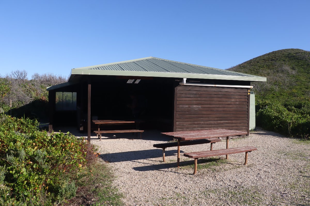
Boat Harbour Hut
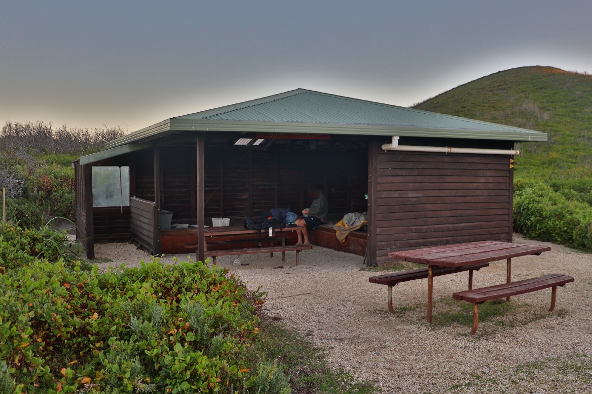
Boat Harbour Hut
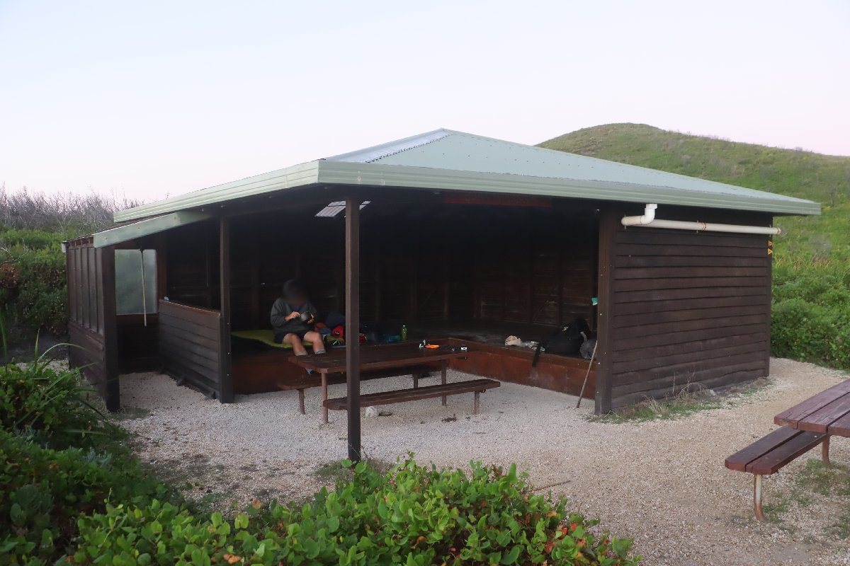
Boat Harbour Hut
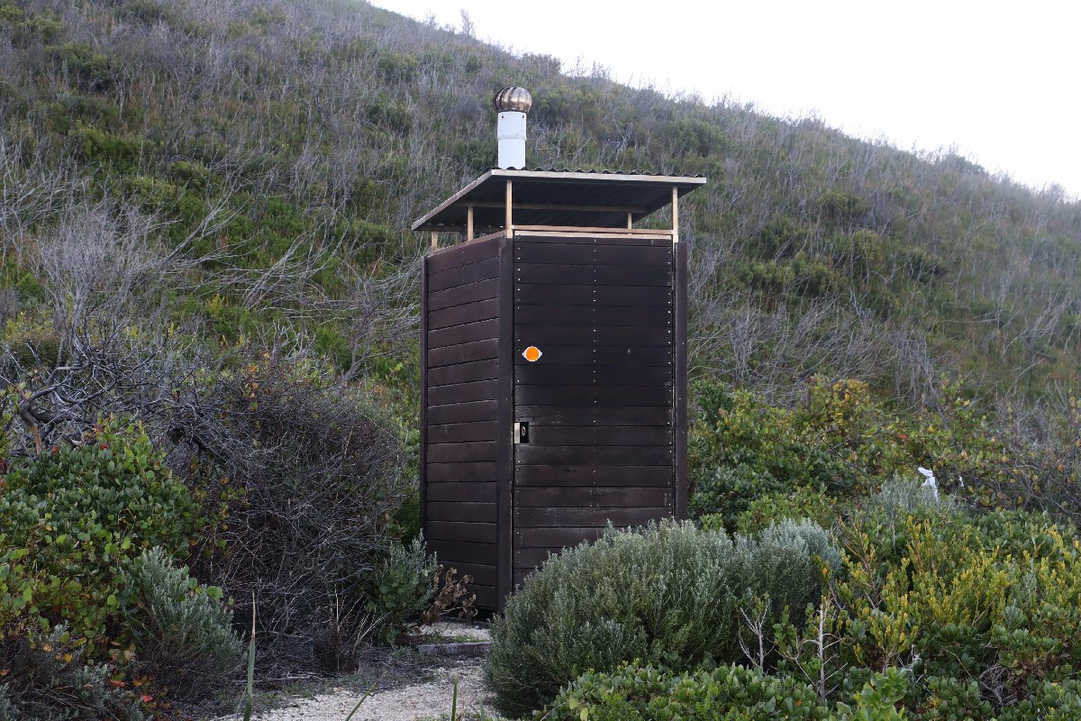
Boat Harbour Hut
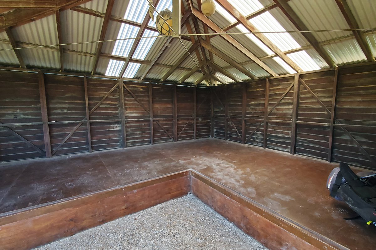
Boat Harbour Hut
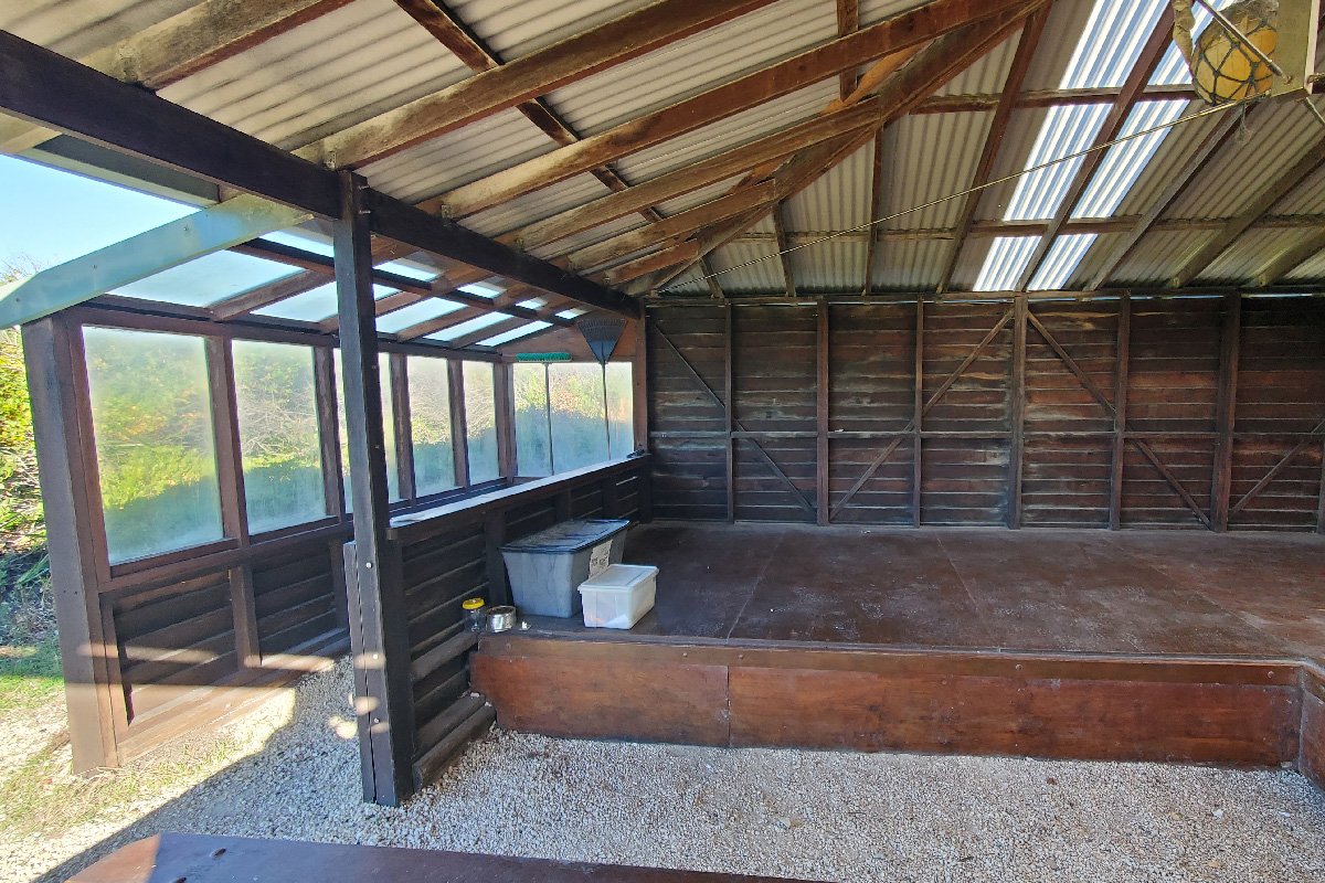
Boat Harbour Hut
William Bay
Hut #44 SOBO, Hut #6 NOBO. Configuration: Type 3 (Nornalup). Distance from Boat Harbour Hut: 20.7km. Distance to Denmark (trailhead): 20.6km.
This hut is situated at the top of a hill, with south bound hikers facing a steep climb to reach it. The hut is in a sheltered spot on the hill with a nearby lookout giving near 360 degree views of the surrounding coastal area.
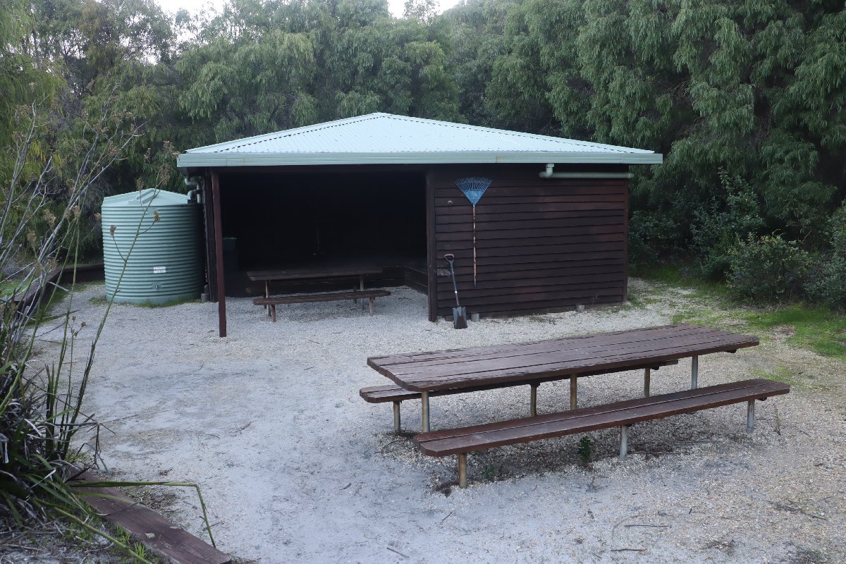
William Bay Hut
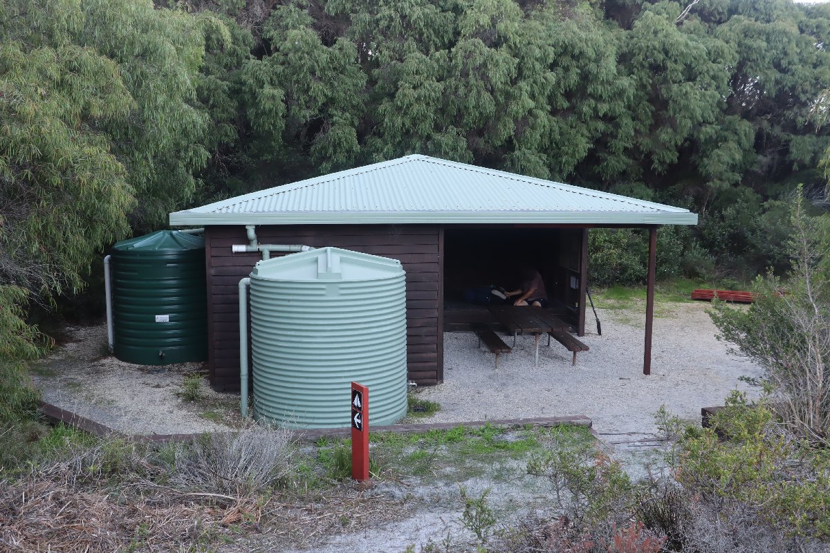
William Bay Hut
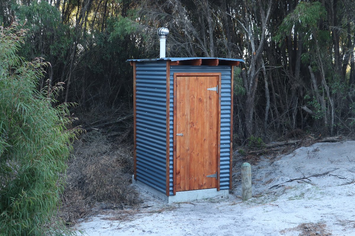
William Bay Hut
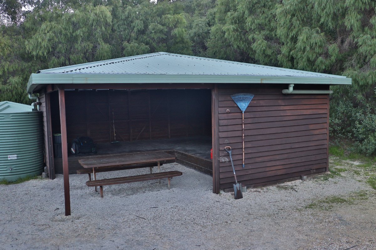
William Bay Hut
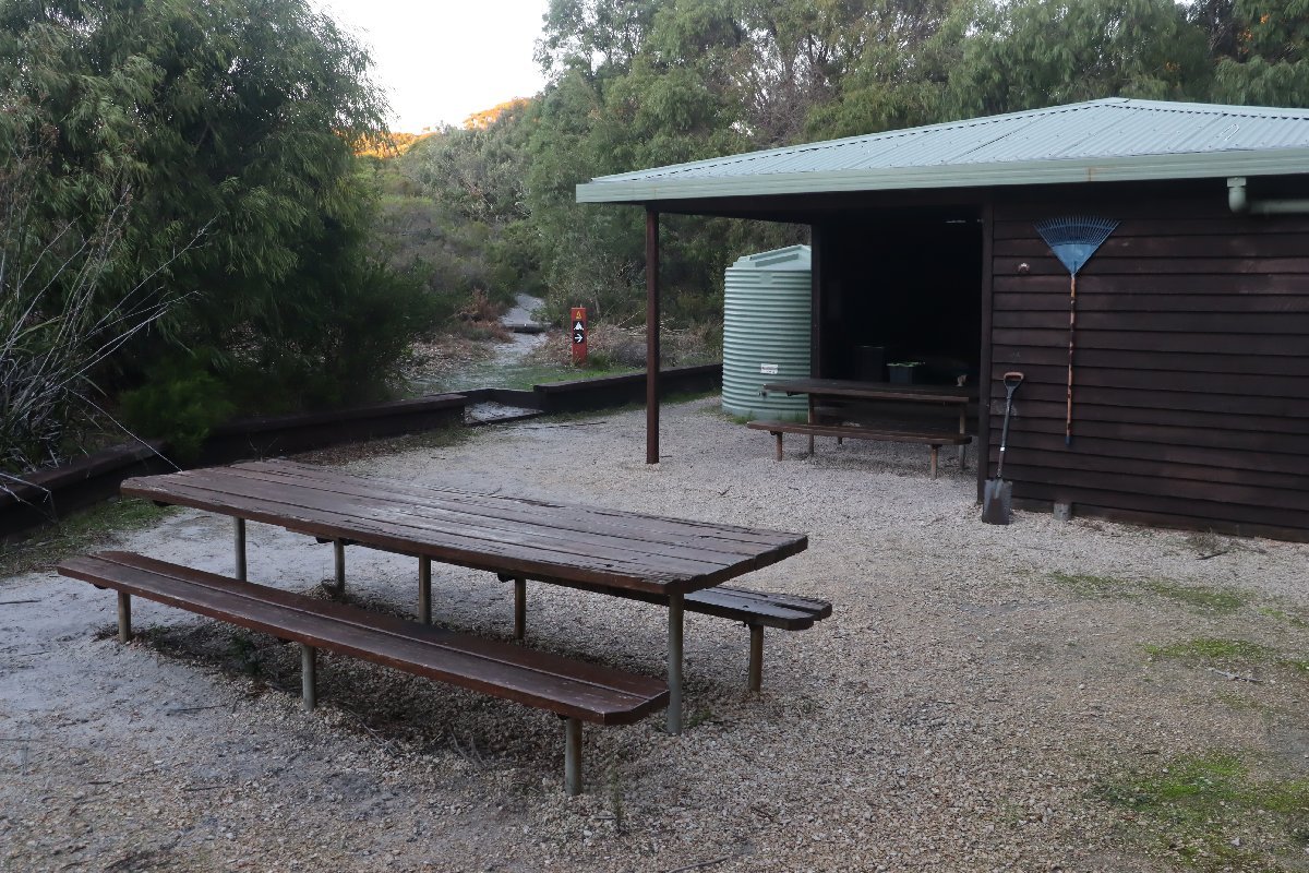
William Bay Hut
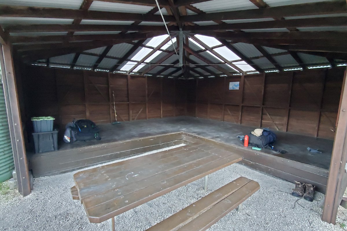
William Bay Hut
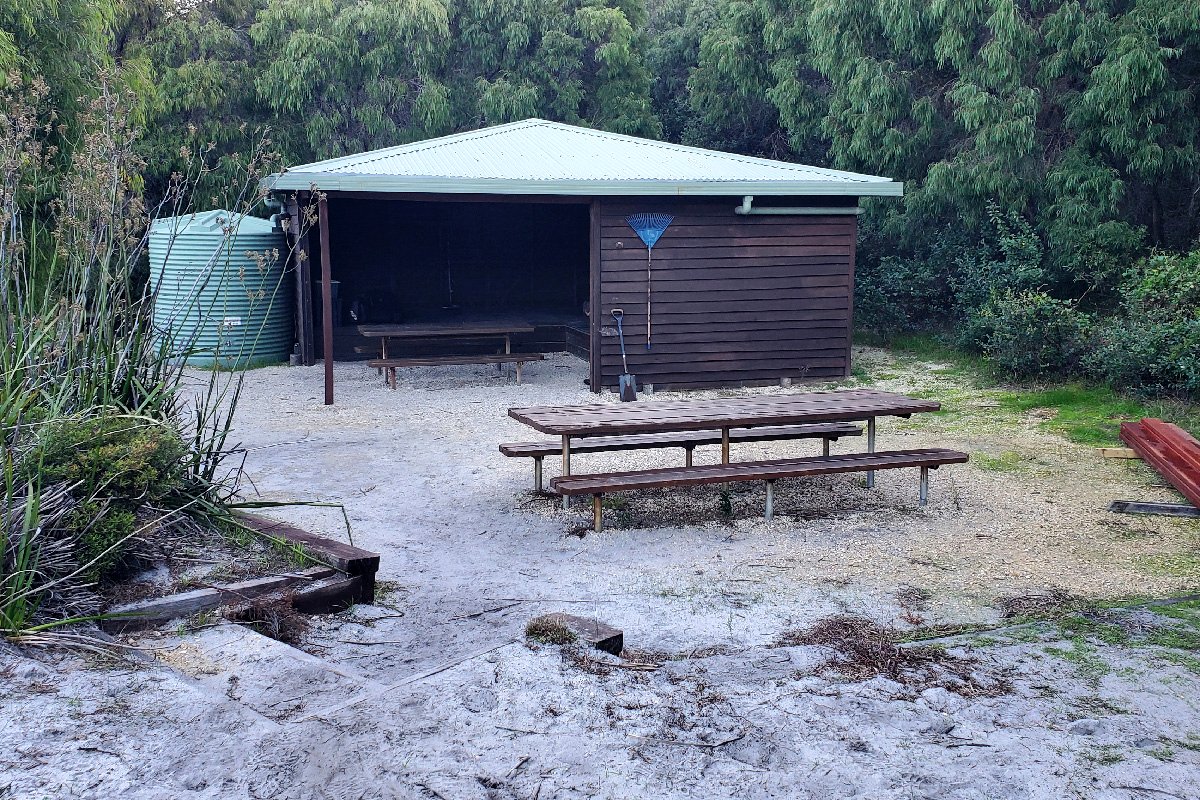
William Bay Hut
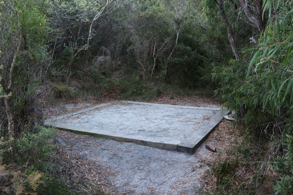
William Bay Hut
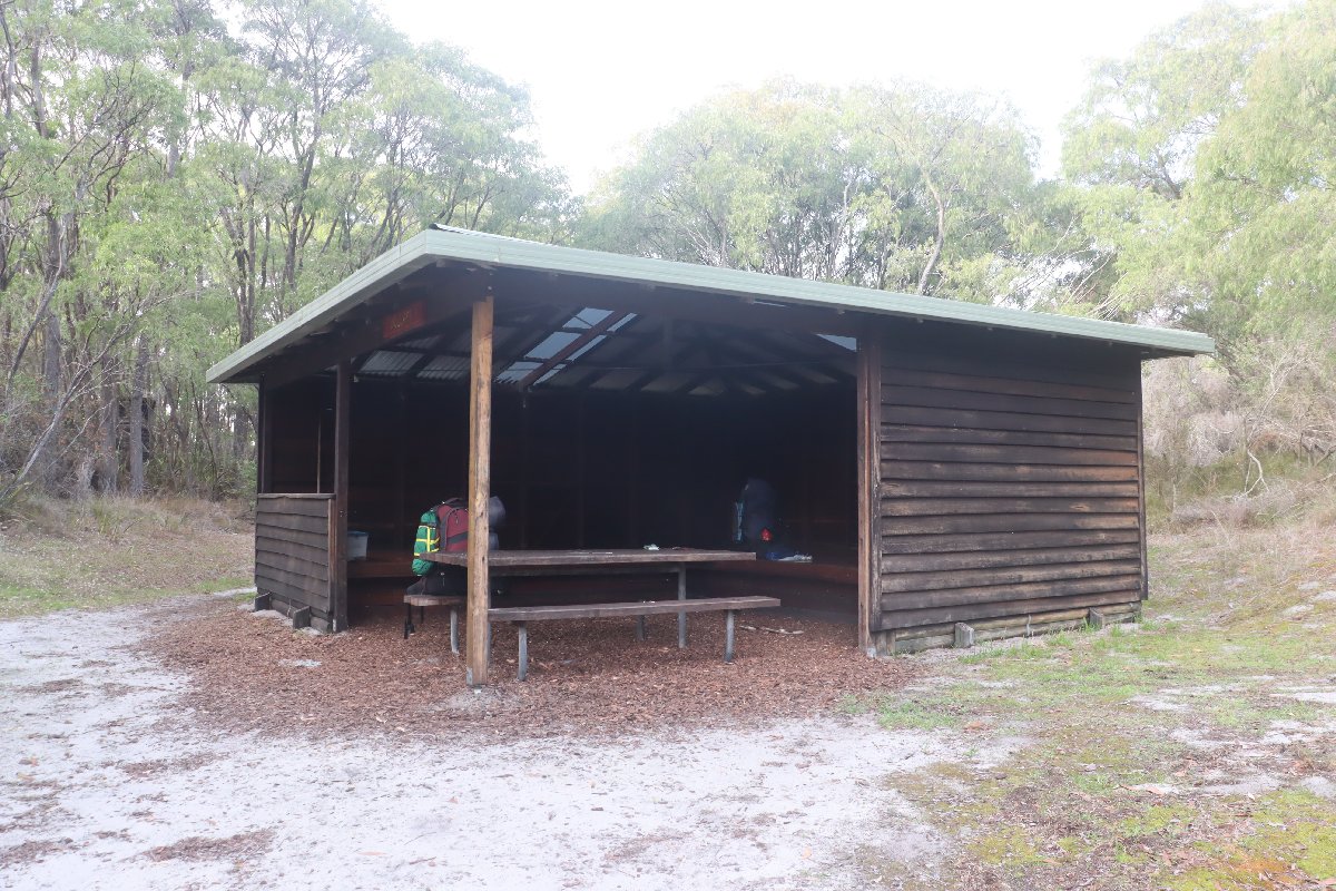
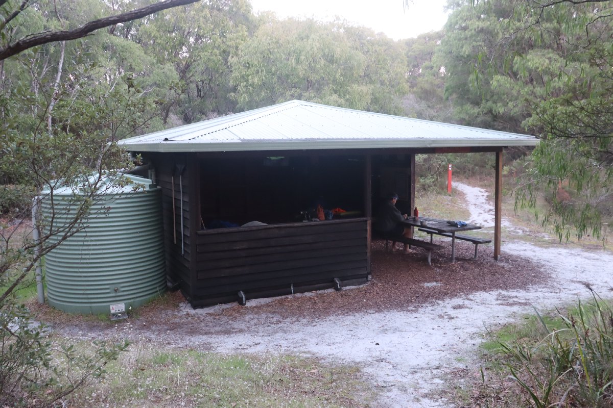
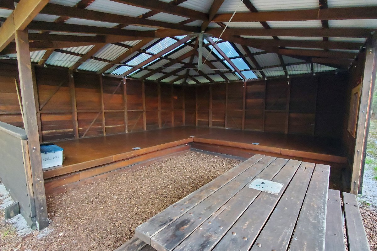
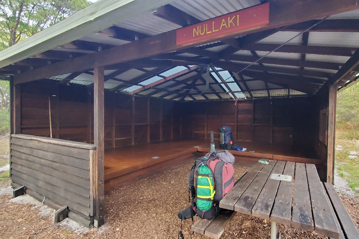
Nullaki
Hut #45 SOBO, Hut #5 NOBO. Configuration: Type 3 (Nornalup). Distance from Denmark (trailhead via inlet sandbar): 27.0km. Distance to West Cape Howe Hut: 17.0km.
Located in a secluded area on the Nullaki peninsula, this hut can be rather difficult to get to heading southbound if the Wilson Inlet is open to the sea. Getting there requires either a chartered boat across the inlet or a lengthy diversion around the inlet by road.
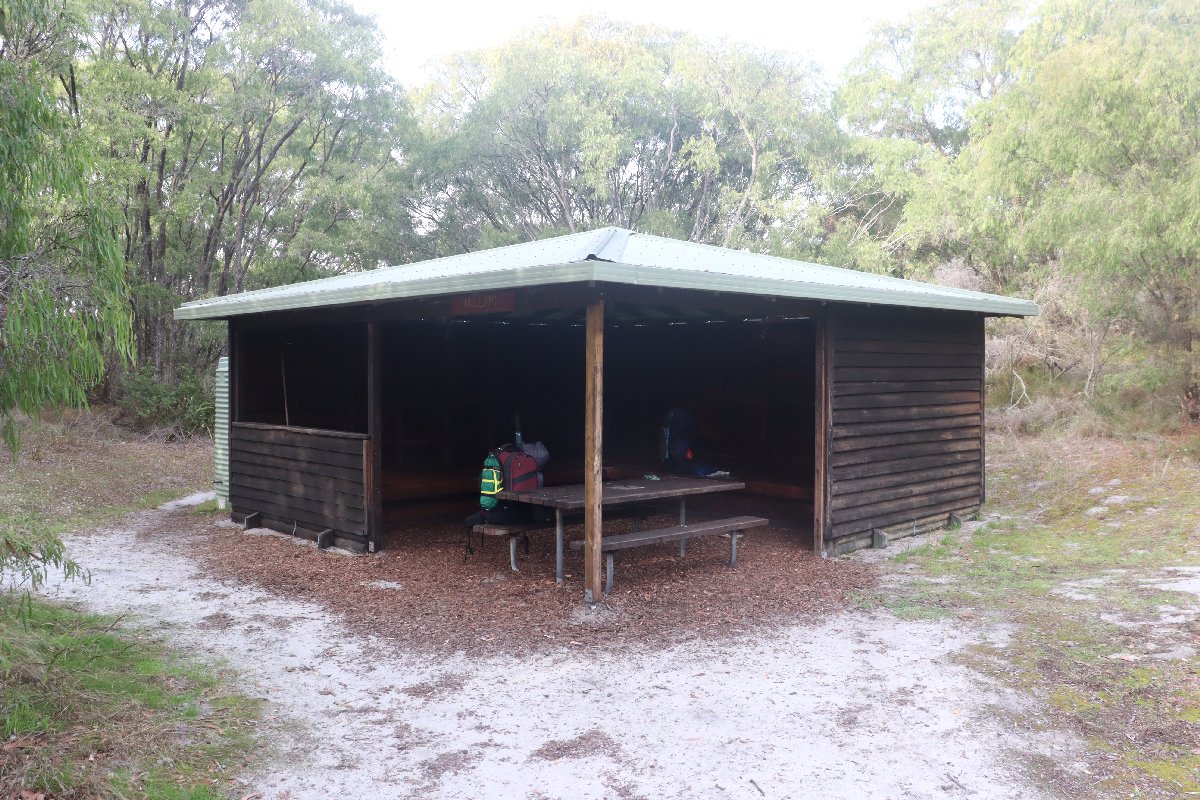
Nullaki Hut
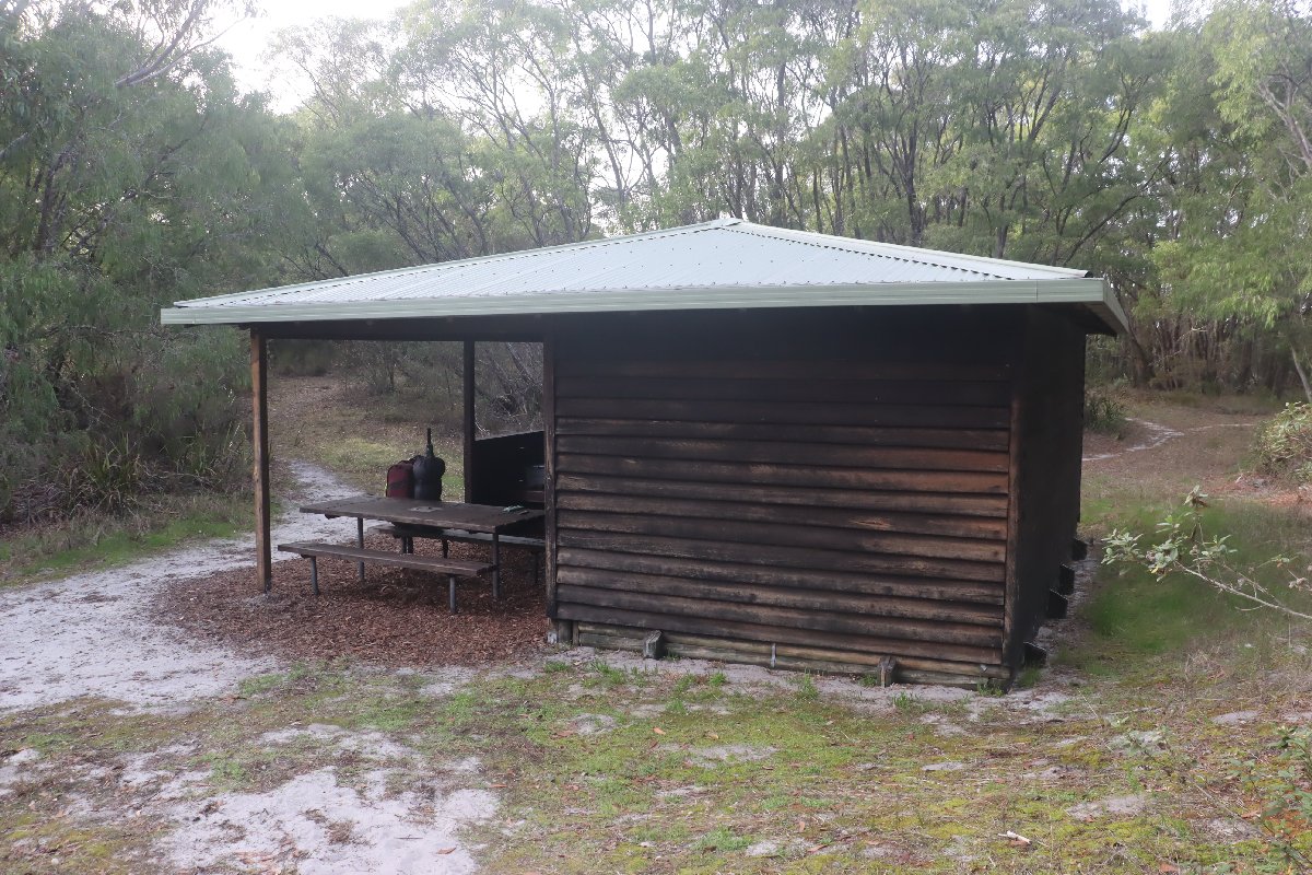
Nullaki Hut
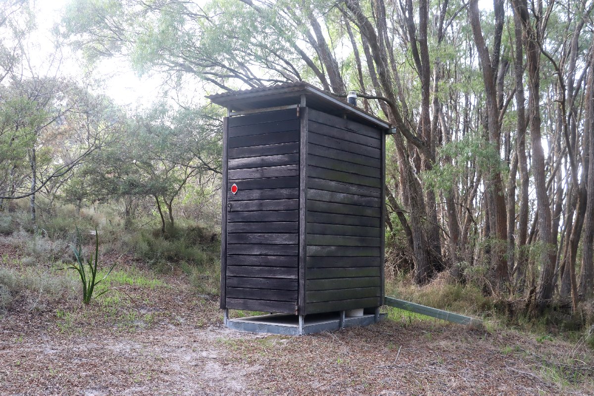
Nullaki Hut
Nullaki Hut
Nullaki Hut
Nullaki Hut
Nullaki Hut
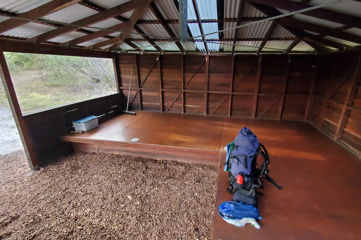
Nullaki Hut
West Cape Howe
Hut #46 SOBO, Hut #4 NOBO. Configuration: Type 3 (Nornalup). Distance from Nullaki Hut: 17.0km. Distance to Torbay Hut: 16.5km.
This hut is located in a grove of peppermint trees in a small hollow on the otherwise exposed edge of the coastal sand dunes. This give the hut excellent protection from the weather. There are great views from two lookouts a short distance from the hut.
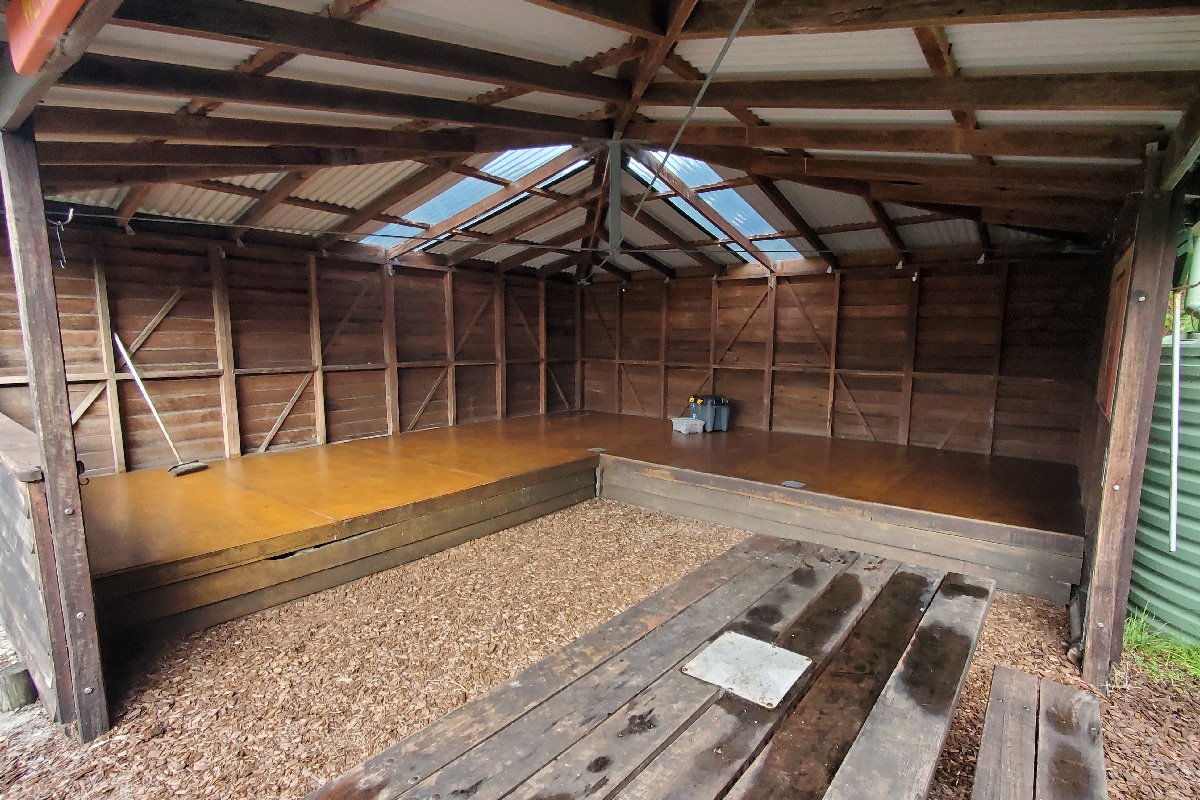
West Cape Howe Hut
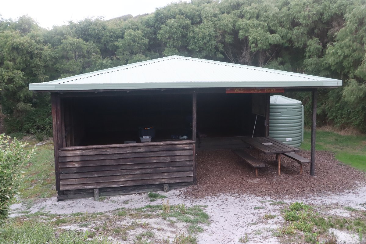
West Cape Howe Hut
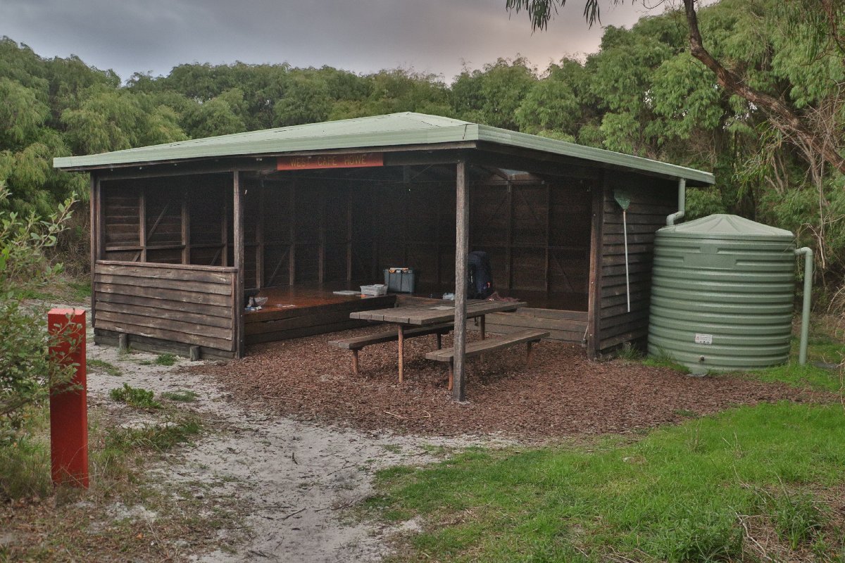
West Cape Howe Hut
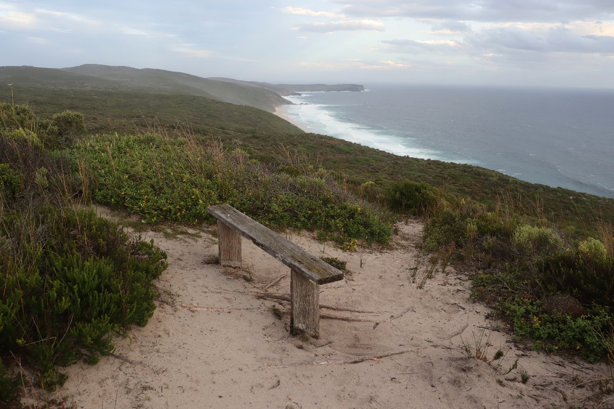
West Cape Howe Hut
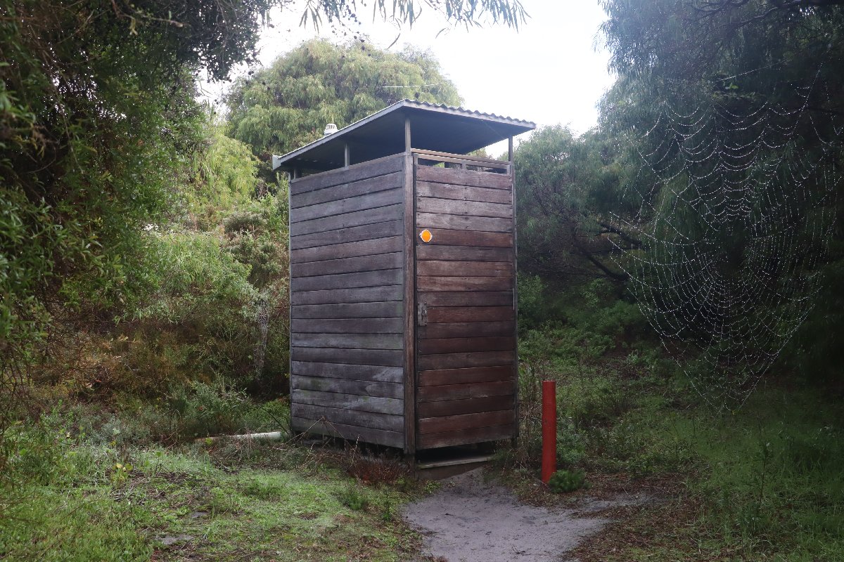
West Cape Howe Hut
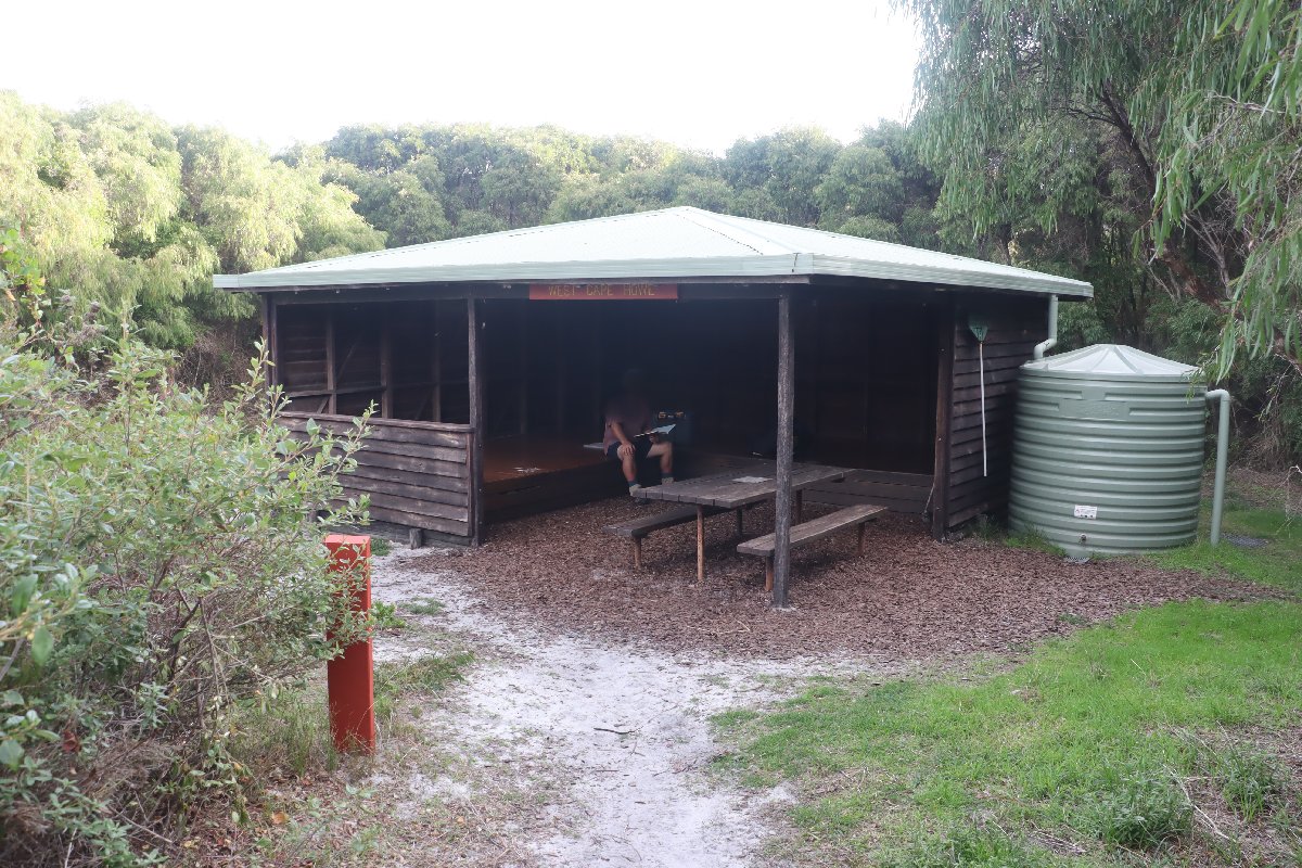
West Cape Howe Hut
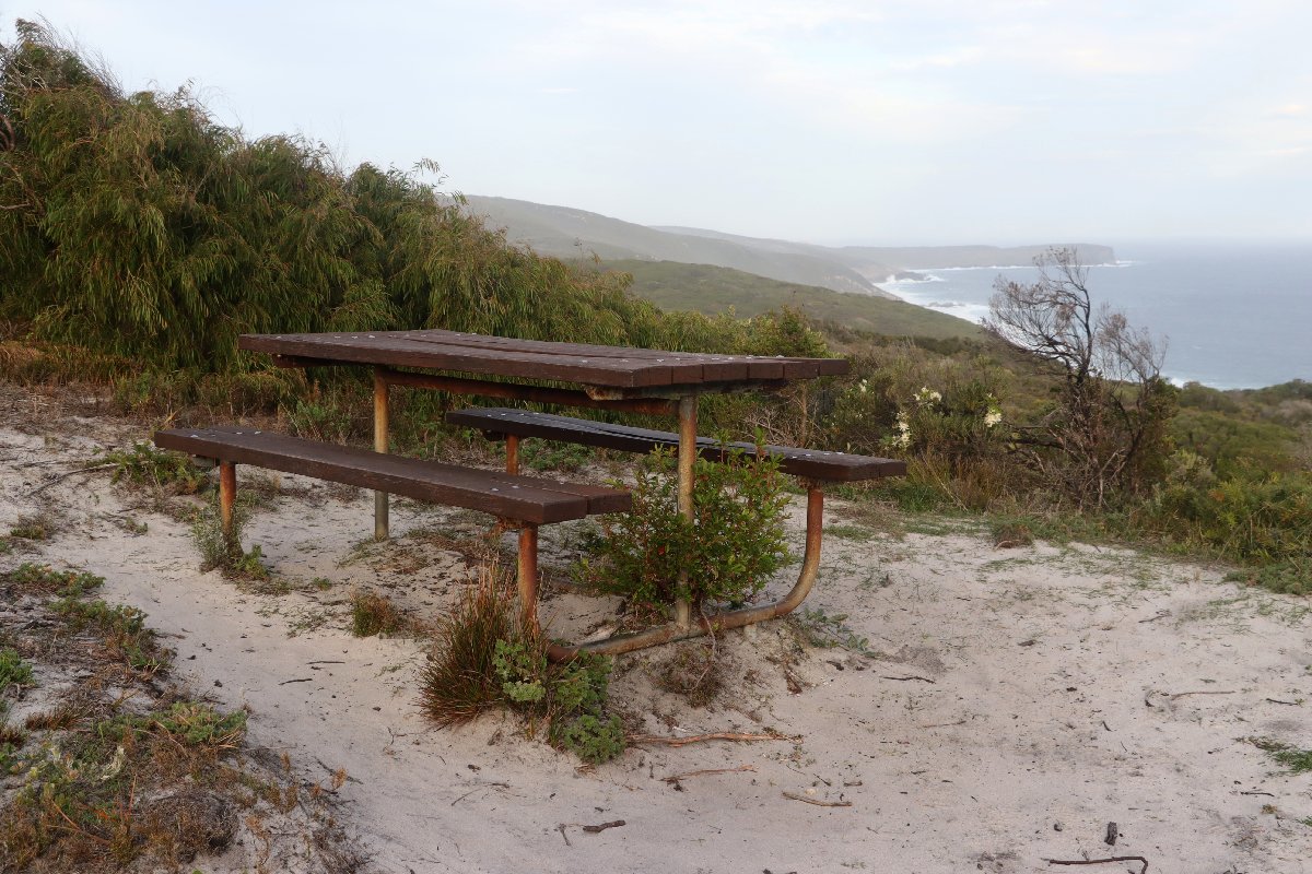
West Cape Howe Hut
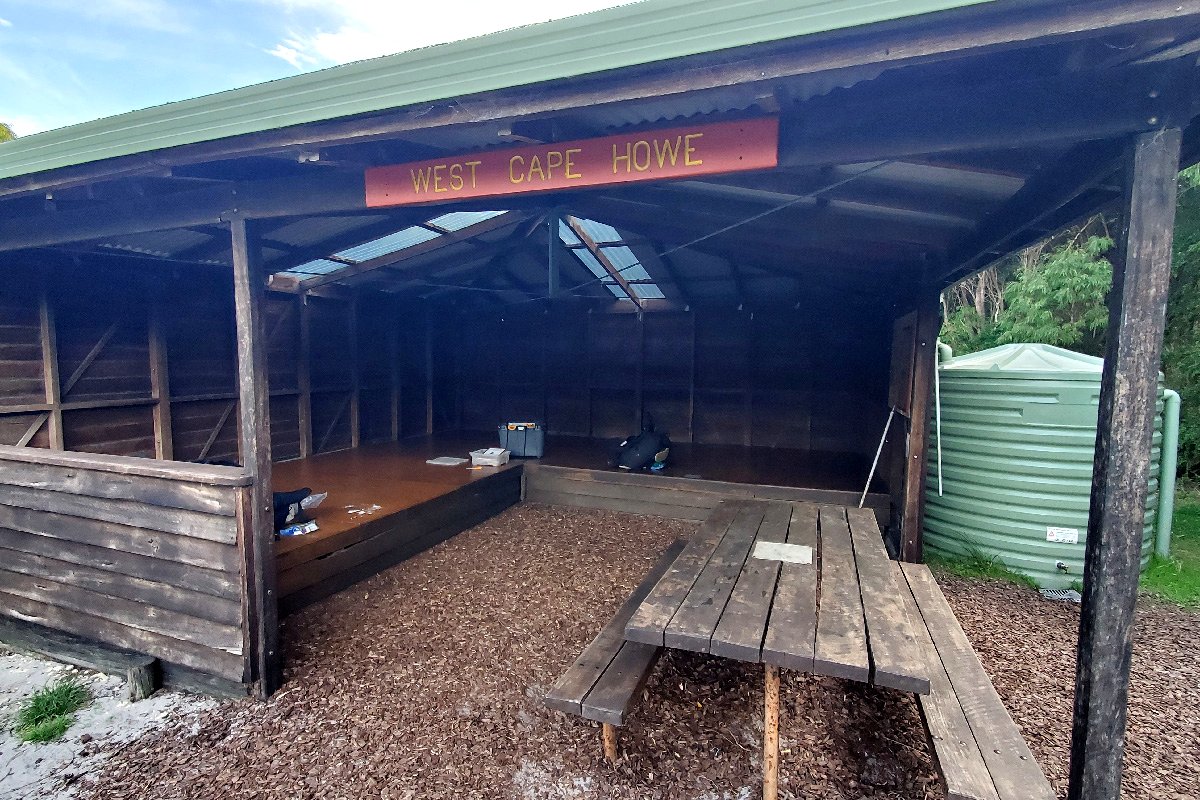
West Cape Howe Hut
Torbay
Hut #47 SOBO, Hut #3 NOBO. Configuration: Type 3 (Nornalup). Distance from West Cape Howe Hut: 16.5km. Distance to Muttonbird Hut: 12.4km.
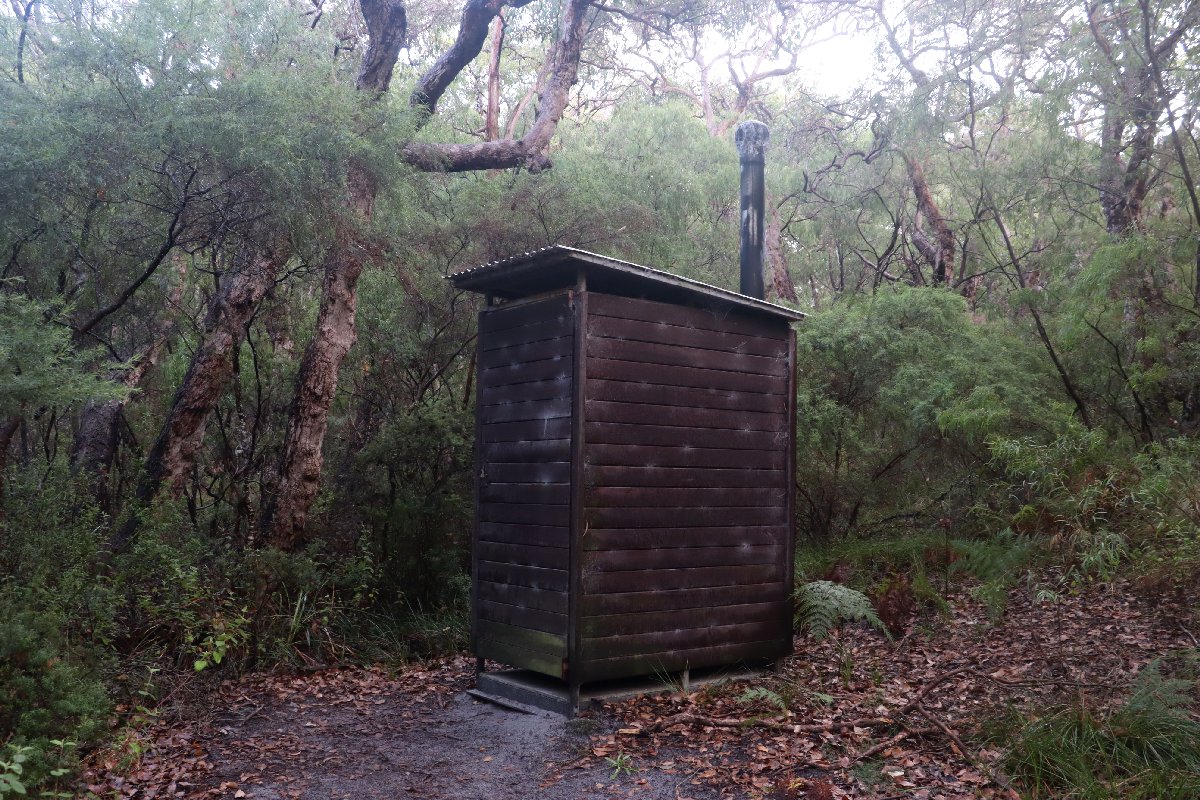
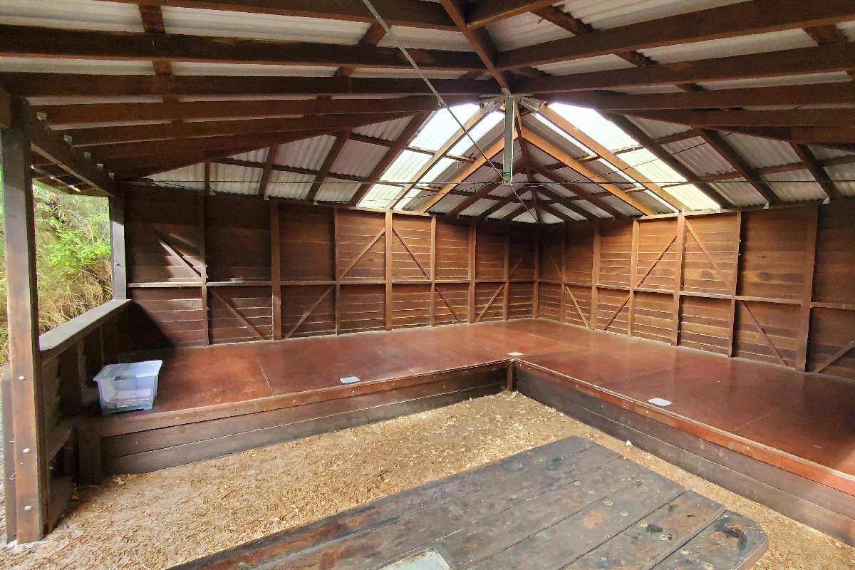
Torbay Hut is located in a secluded hollow in Jarrah / marri woodland. There is a short track leading to a lookout with an additional table located there. The hut is closely surrounded by the bush, making photography only really possible from one direction.
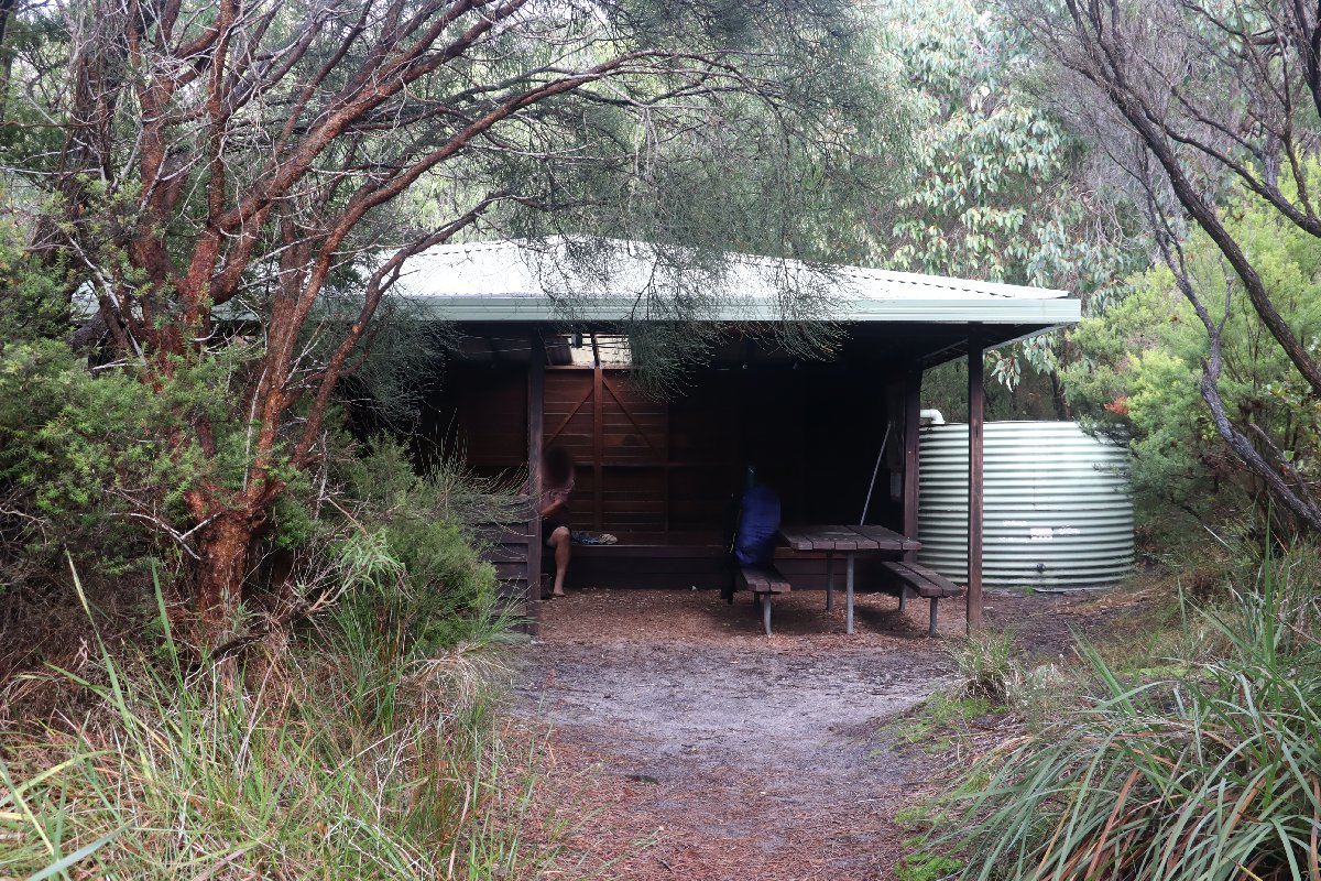
Torbay Hut
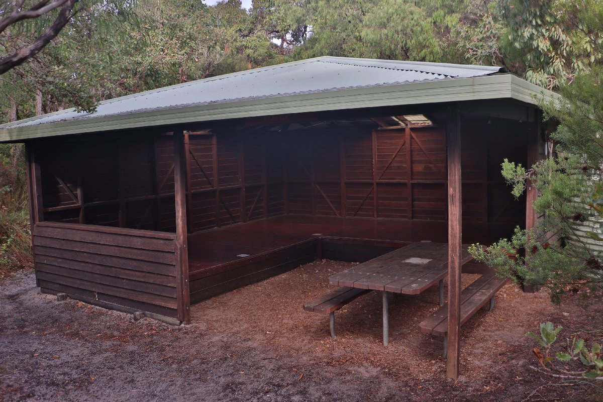
Torbay Hut
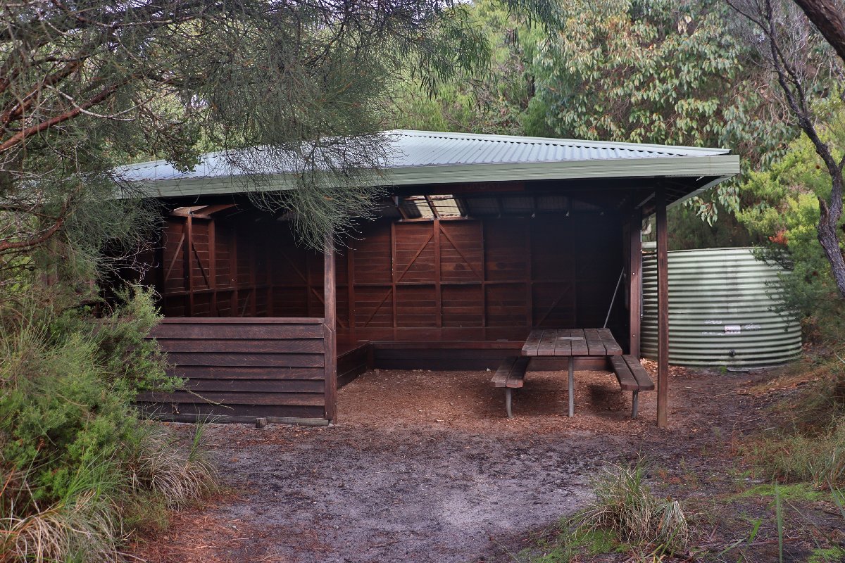
Torbay Hut
Torbay Hut
Torbay Hut
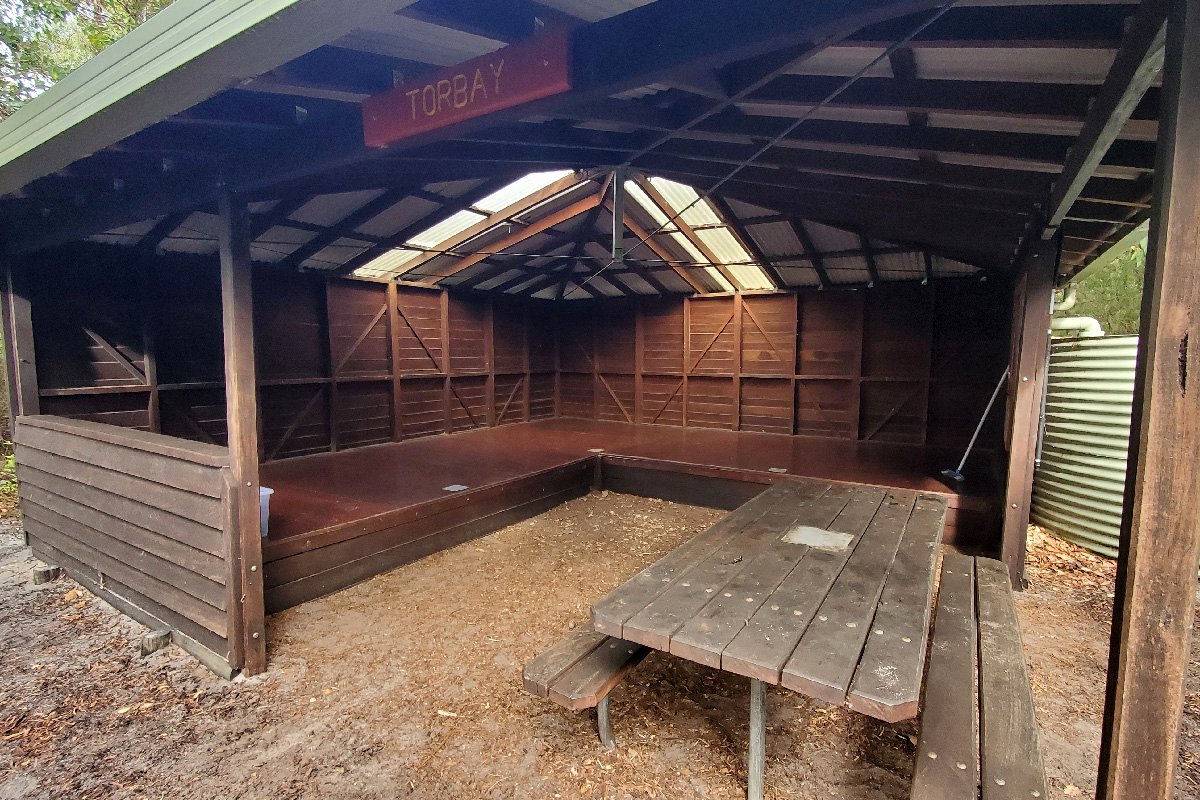
Torbay Hut
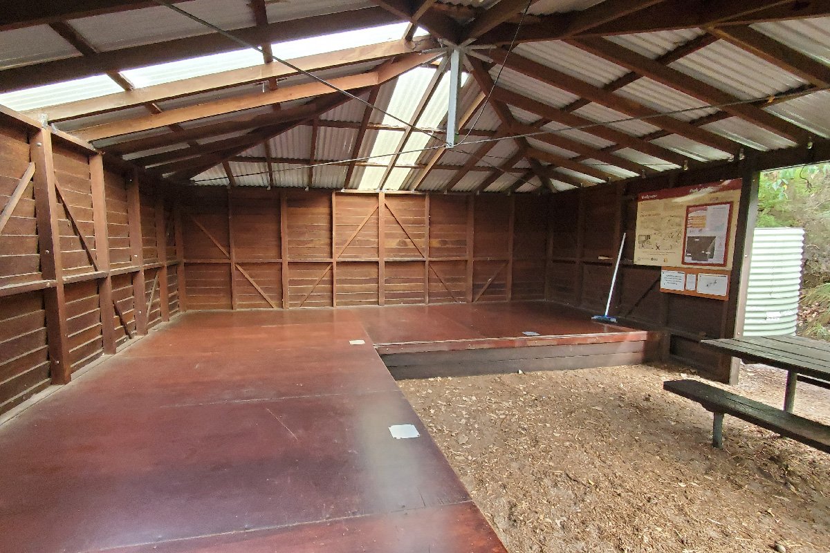
Torbay Hut
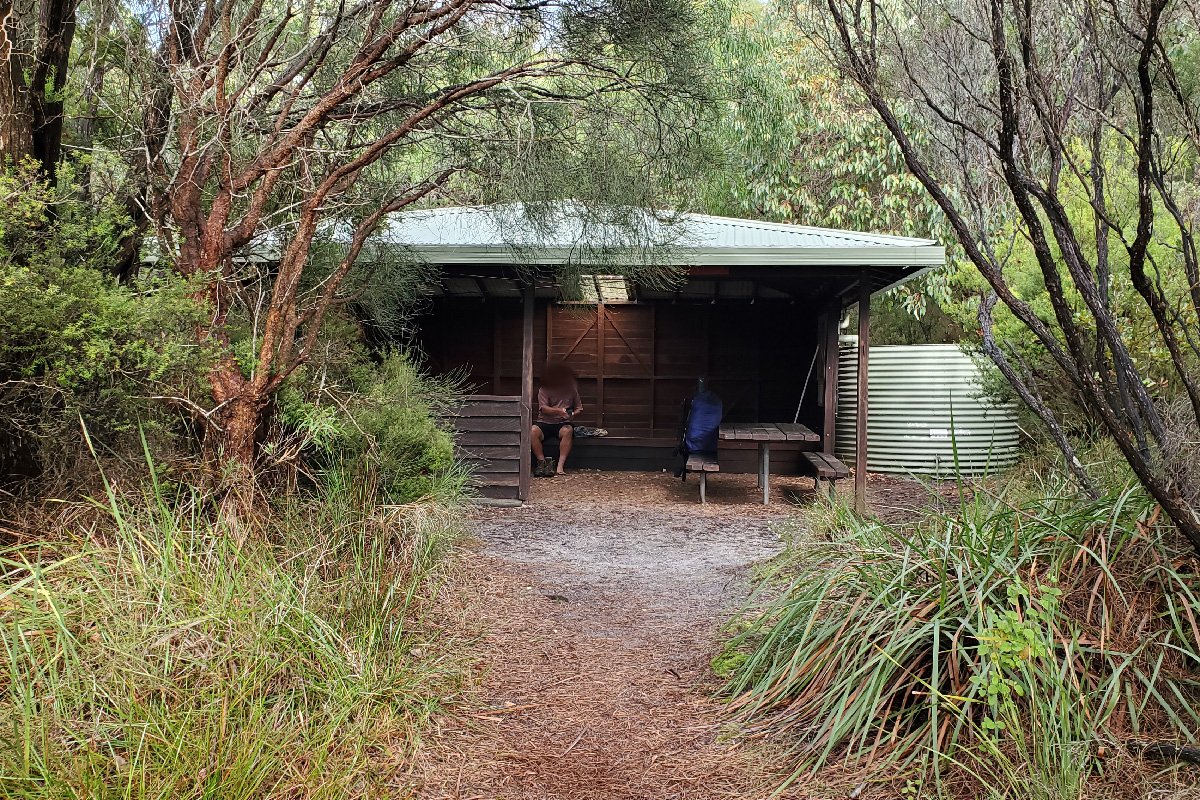
Torbay Hut
Muttonbird
Hut #48 SOBO, Hut #2 NOBO. Configuration: Type 3 (Nornalup). Distance from Torbay Hut: 12.4km. Distance to Sandpatch Hut: 12.1km.
Initially, there was only one hut between Torbay and Albany, known as Hidden Hollow. The hut was removed following expansion of the Albany Wind Farm and was replaced with two huts. Muttonbird Hut is located in fairly generic coastal scrub and does not have any particularly interesting features. The hut is named after the nearby Muttonbird Beach.
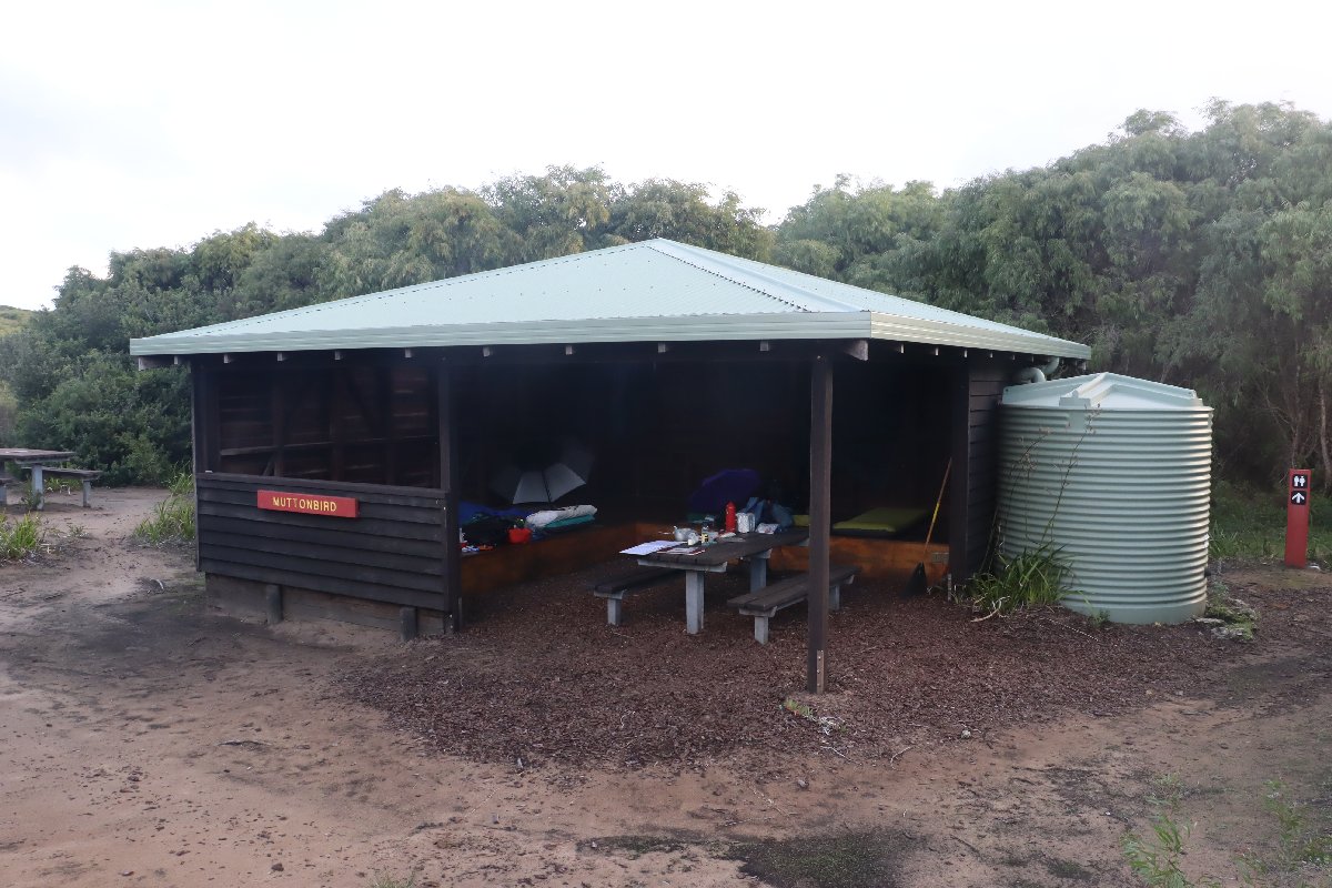
Muttonbird Hut
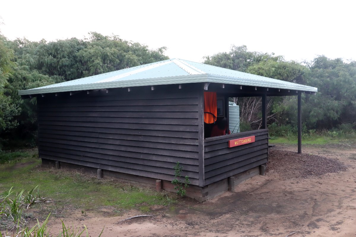
Muttonbird Hut
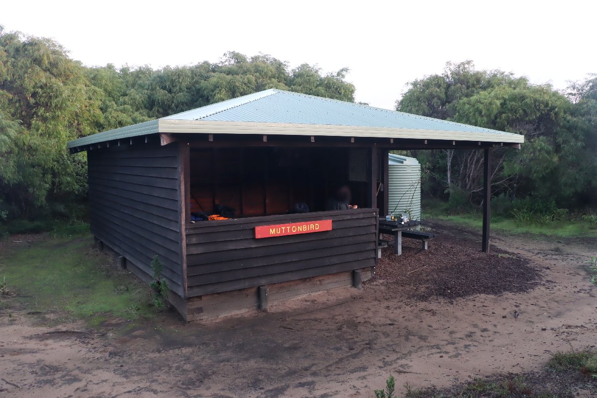
Muttonbird Hut
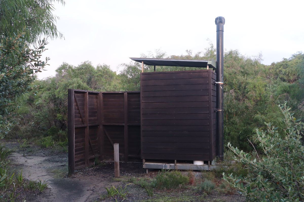
Muttonbird Hut
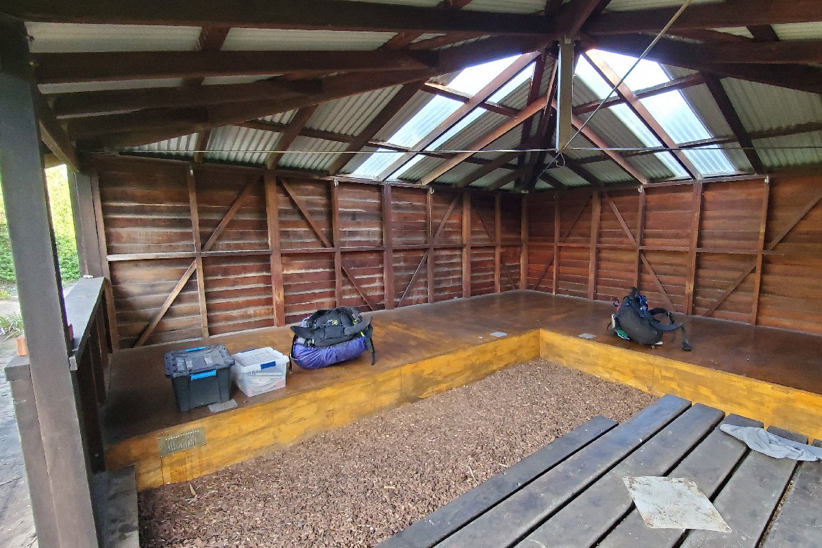
Muttonbird Hut
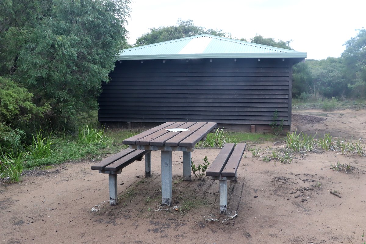
Muttonbird Hut
Sandpatch
Hut #49 SOBO, Hut #1 NOBO. Configuration: Type 3 (Nornalup). Distance from Muttonbird Hut: 12.1km. Distance to Albany: 12.9km.
Initially, there was only one hut between Torbay and Albany, known as Hidden Hollow. The hut was removed following expansion of the Albany Wind Farm and was replaced with two huts. Sandpatch Hut is located in a sheltered, but fairly open area. There is a path to a nearby lookout with great views along the coast. This hut was destroyed in a bushfire and has been rebuilt as a unique hut construction from steel, tin and composite weatherboards.
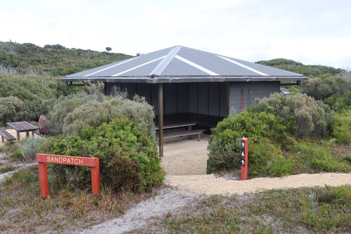
Sandpatch Hut
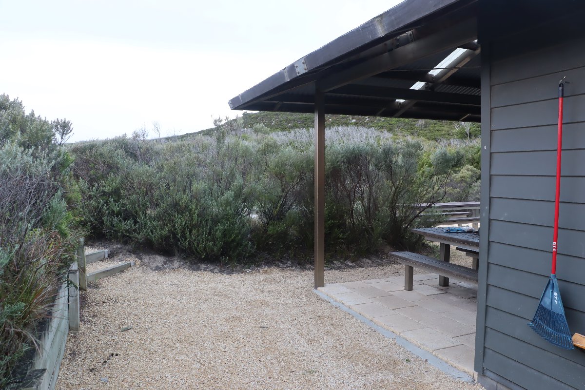
Sandpatch Hut
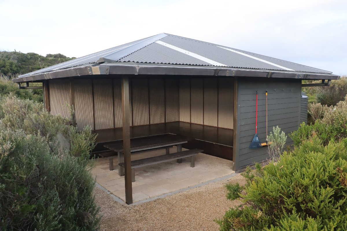
Sandpatch Hut
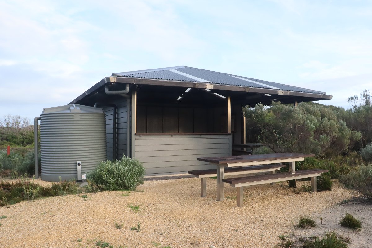
Sandpatch Hut
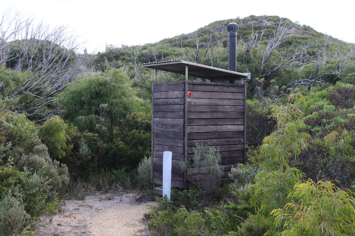
Sandpatch Hut
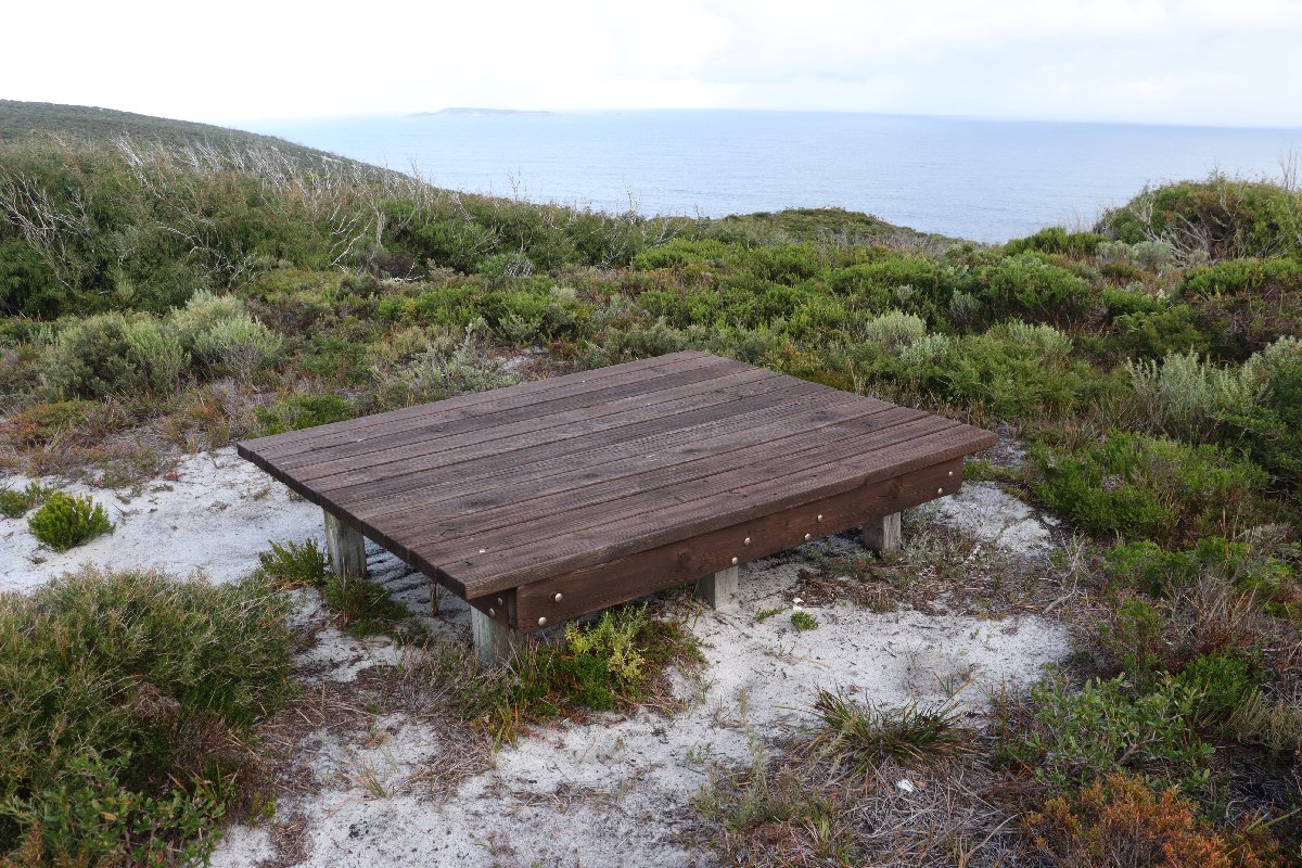
Sandpatch Hut
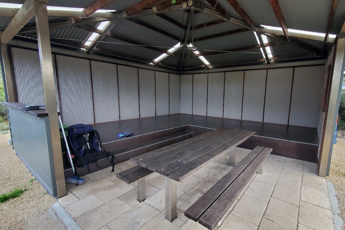
Sandpatch Hut
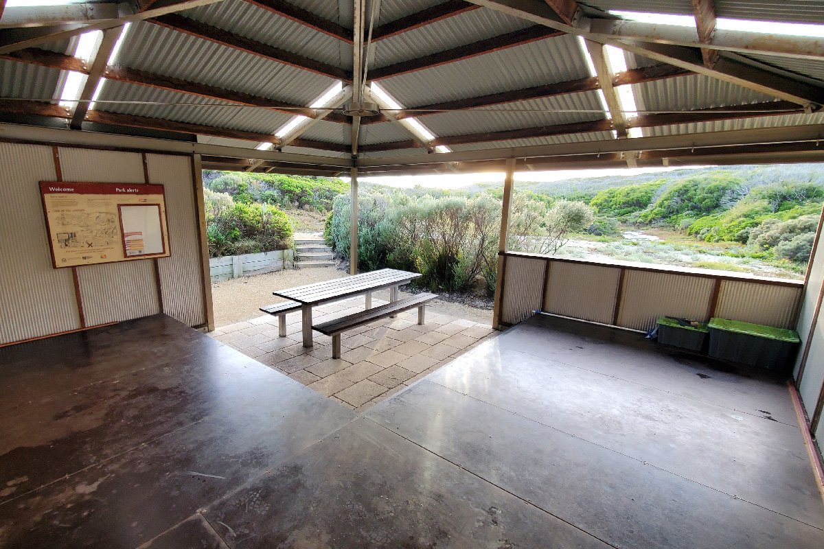
Sandpatch Hut